Elevation of Tariff Rd, Left Hand, WV, USA
Location: United States > West Virginia > Roane County > Iii > Left Hand >
Longitude: -81.204001
Latitude: 38.6643342
Elevation: 260m / 853feet
Barometric Pressure: 98KPa
Elevation Map:
Satellite Map:
Related Photos:

Exit 40

Awesome sky over Auburn this evening.

Calhoun Co., WV

Clay Co., WV
The town of Big Otter

Albert's Chapel United Methodist Church in Calhoun County WV

Left Hand, WV Post Office

Left Hand, WV Post Office

Left Hand, WV

On the road again

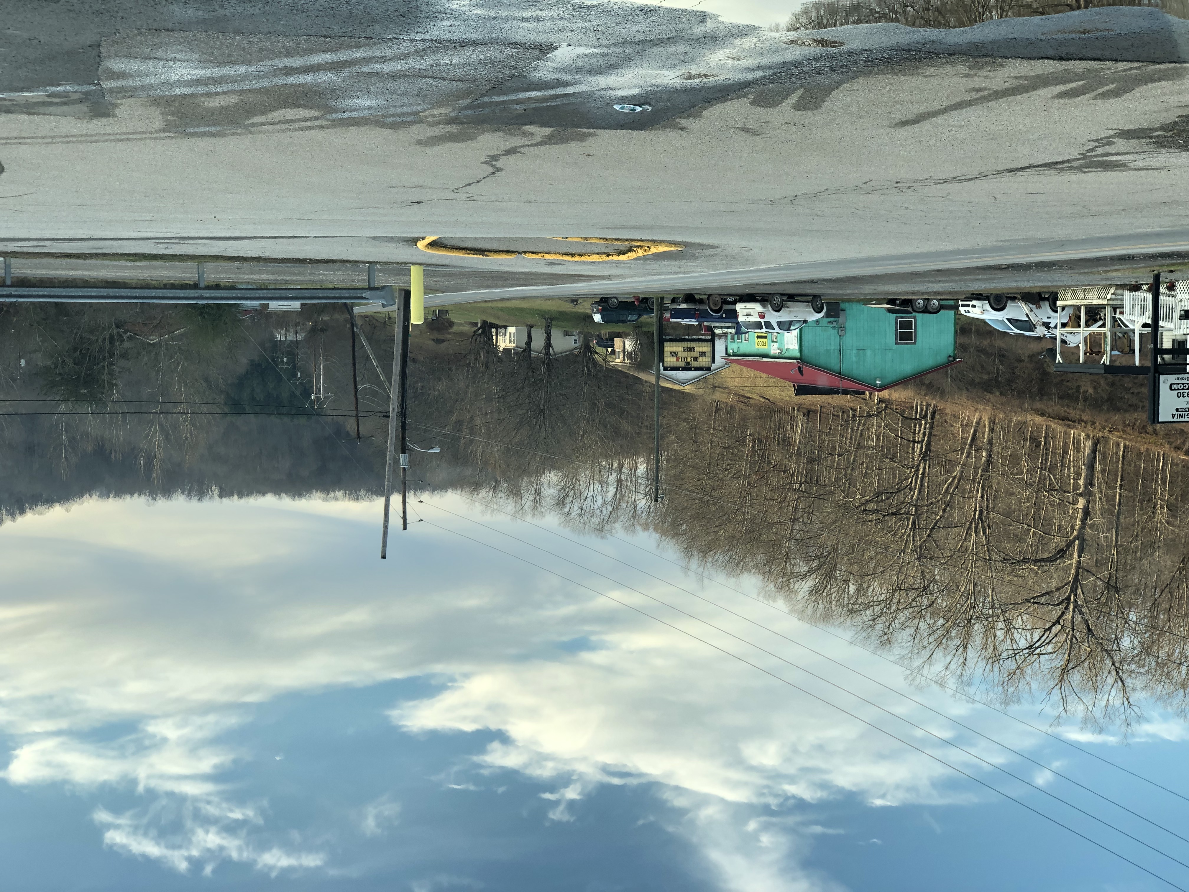
Pizzas & Cream

Pizzas & Cream

Pizzas & Cream

Pizzas & Cream

Pizzas & Cream

Pizzas & Cream

Pizzas & Cream

Pizzas & Cream

Pizzas & Cream

Pizzas & Cream

Pizzas & Cream
Topographic Map of Tariff Rd, Left Hand, WV, USA
Find elevation by address:

Places near Tariff Rd, Left Hand, WV, USA:
Iii
Left Hand
123 Linden Rd
Clay Road
Hollywood Rd, Newton, WV, USA
Looneyville
4005 Pink Rd
Amma
Slab Fork Road
Slab Fork Road
137 Breeze Way
2287 Bee Lick Run Rd
Shannon Branch
Arnoldsburg Rd, Spencer, WV, USA
Arnoldsburg
Spencer, WV, USA
Ii
Procious
Little Blue Creek Road
11500 S Calhoun Hwy
Recent Searches:
- Elevation of Corso Fratelli Cairoli, 35, Macerata MC, Italy
- Elevation of Tallevast Rd, Sarasota, FL, USA
- Elevation of 4th St E, Sonoma, CA, USA
- Elevation of Black Hollow Rd, Pennsdale, PA, USA
- Elevation of Oakland Ave, Williamsport, PA, USA
- Elevation of Pedrógão Grande, Portugal
- Elevation of Klee Dr, Martinsburg, WV, USA
- Elevation of Via Roma, Pieranica CR, Italy
- Elevation of Tavkvetili Mountain, Georgia
- Elevation of Hartfords Bluff Cir, Mt Pleasant, SC, USA