Elevation of Walton, WV, USA
Location: United States > West Virginia > Roane County > Iii >
Longitude: -81.402065
Latitude: 38.6389816
Elevation: 217m / 712feet
Barometric Pressure: 99KPa
Elevation Map:
Satellite Map:
Related Photos:
DSC03993

DSC04000
DSC04002

DSC03998
DSC03999
DSC03990

I-79 Clendenin Park & Ride

This one seemed perfect
Dusty's ferry

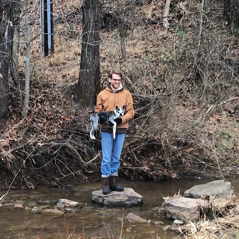
Emmy and Chris and the pups

Dusty will just nap, thanks

The victorious hunter

Dusty is getting in a pre-turkey nap.

Dusty wants turkey

Thanksgiving week on the farm
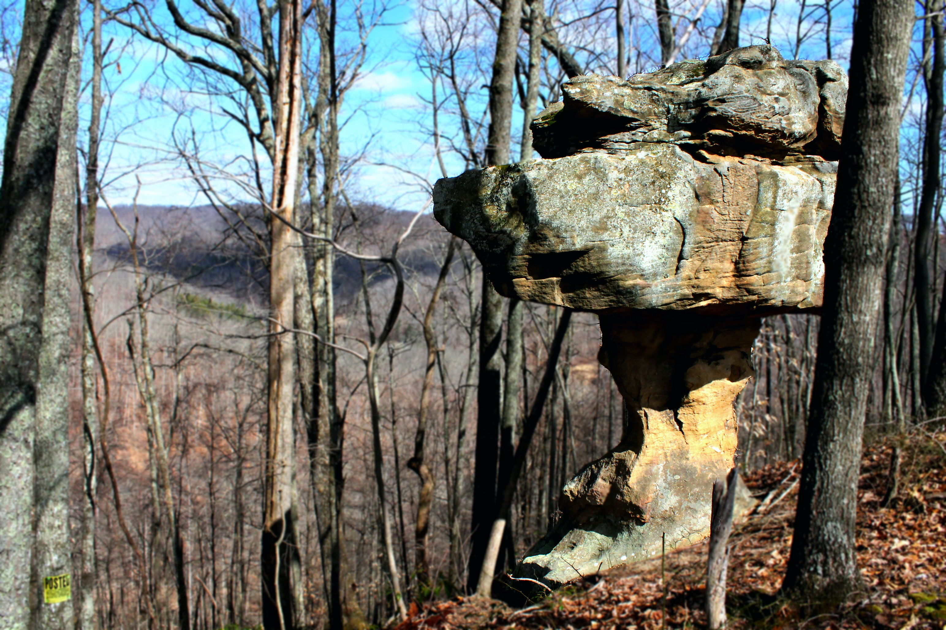
Mushroom rock

2011-VA43-driving WVA back

2011-VA1-Driving WVA
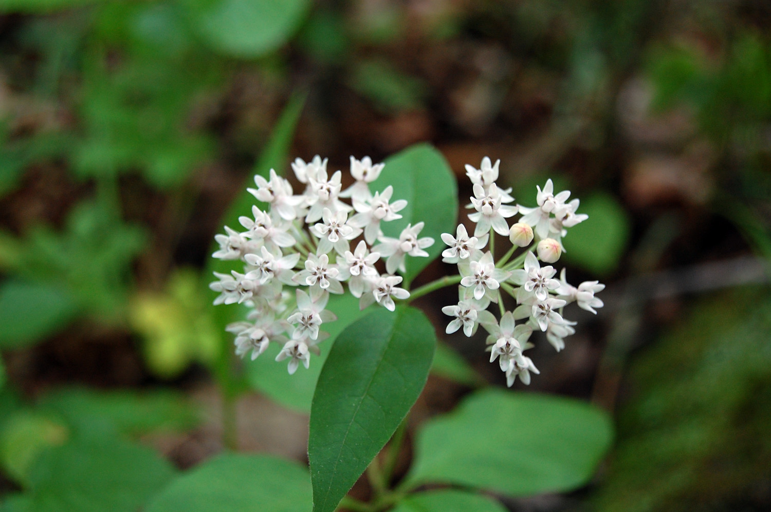
Four-leaved Milkweed
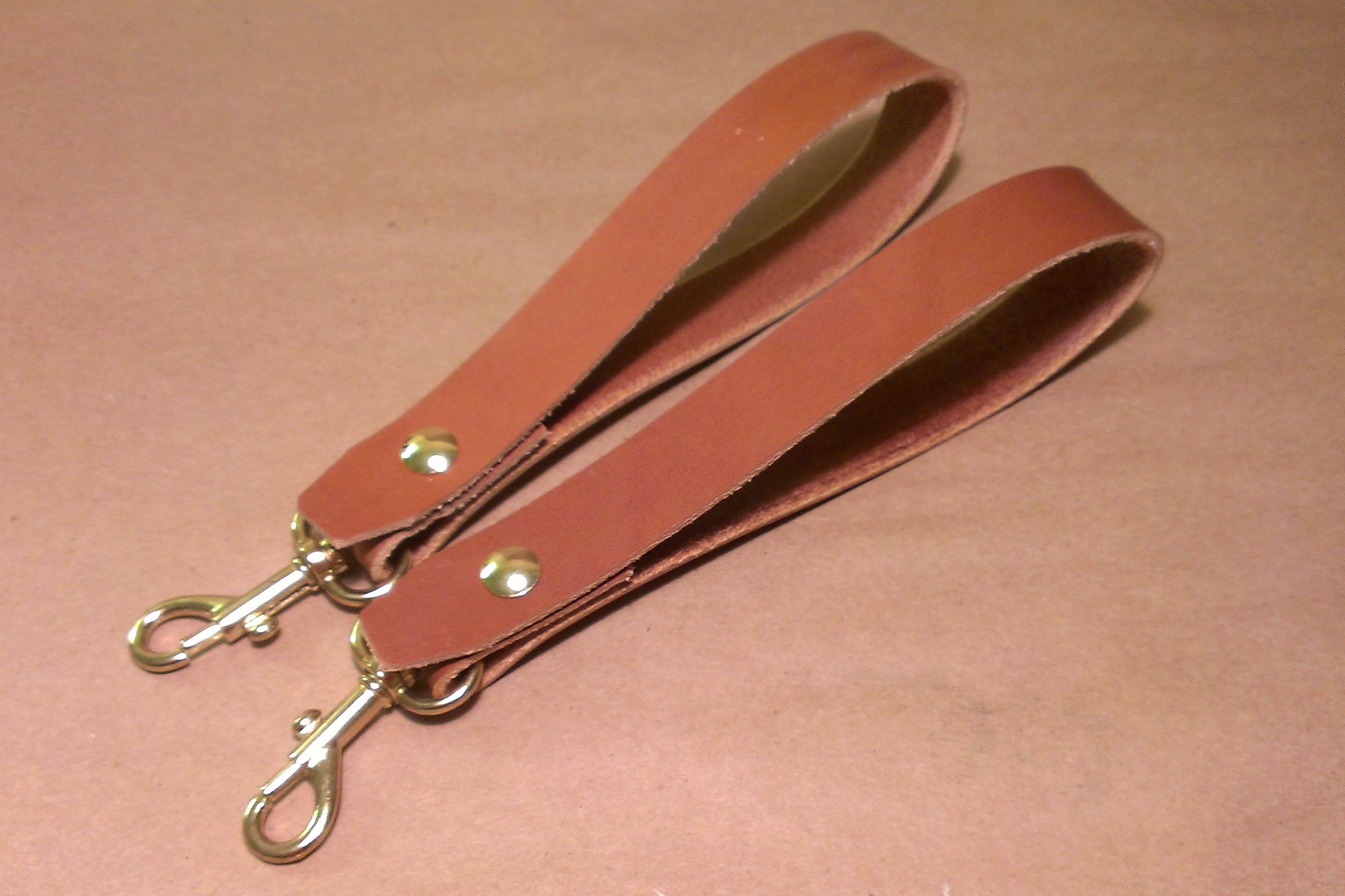
Brown Bridle Key Lanyards
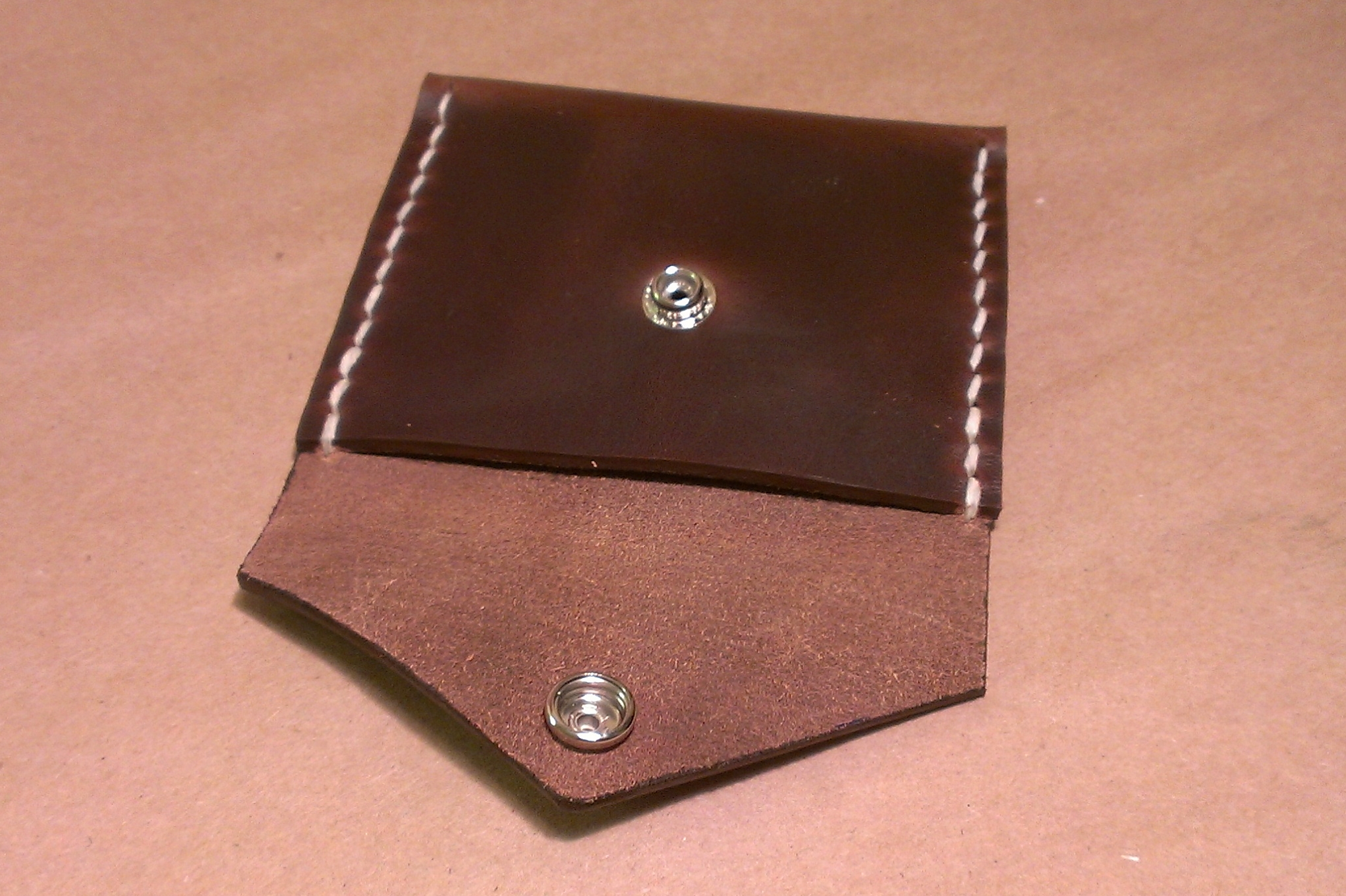
Horween Brown Chromexcel Horsestrip "Coin Purse"
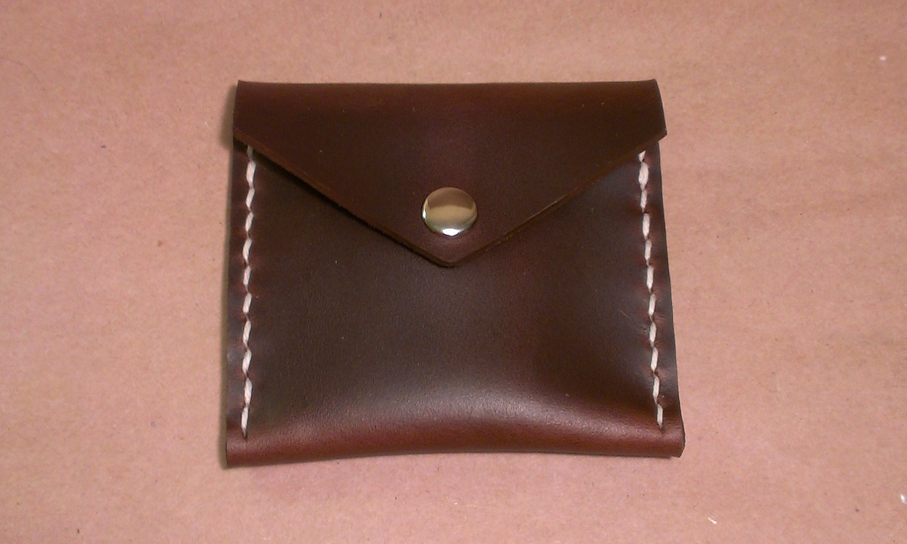
Horween Brown Chromexcel Horsestrip "Coin Purse"

Horween Brown Chromexcel Horsestrip "Coin Purse"

Field Notes "Red Blooded" Graph Notebooks

Field Notes Blank and "Red Blooded" Graph Notebooks

Field Notes Blank and "Red Blooded" Graph Notebooks

Cake Earrings
Topographic Map of Walton, WV, USA
Find elevation by address:

Places in Walton, WV, USA:
Places near Walton, WV, USA:
Rock Creek Road
Rock Creek Road
Long Ridge Rd, Walton, WV, USA
Gandeeville
Shannon Branch
2287 Bee Lick Run Rd
Hurricane Road
Looneyville
Slab Fork Road
Slab Fork Road
Kettle
137 Breeze Way
Roane County
990 Vicars Ridge Rd
990 Vicars Ridge Rd
7771 Frame Rd
Goose Creek Road
1 Raider Way
Clay Road
114 Weather Ridge Rd
Recent Searches:
- Elevation of Corso Fratelli Cairoli, 35, Macerata MC, Italy
- Elevation of Tallevast Rd, Sarasota, FL, USA
- Elevation of 4th St E, Sonoma, CA, USA
- Elevation of Black Hollow Rd, Pennsdale, PA, USA
- Elevation of Oakland Ave, Williamsport, PA, USA
- Elevation of Pedrógão Grande, Portugal
- Elevation of Klee Dr, Martinsburg, WV, USA
- Elevation of Via Roma, Pieranica CR, Italy
- Elevation of Tavkvetili Mountain, Georgia
- Elevation of Hartfords Bluff Cir, Mt Pleasant, SC, USA