Elevation of Lauramie Township, IN, USA
Location: United States > Indiana > Tippecanoe County >
Longitude: -86.761749
Latitude: 40.2432829
Elevation: 247m / 810feet
Barometric Pressure: 98KPa
Elevation Map:
Satellite Map:
Related Photos:

Indiana: Traveling the old Monon Railroad

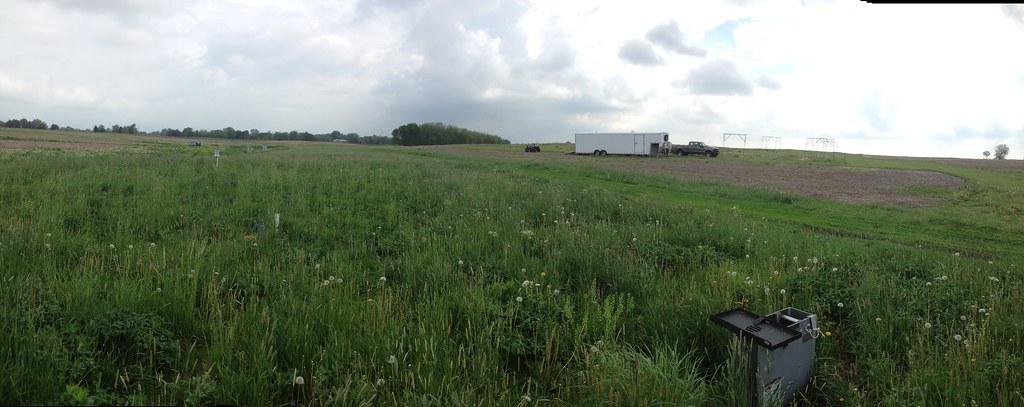
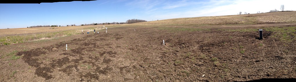
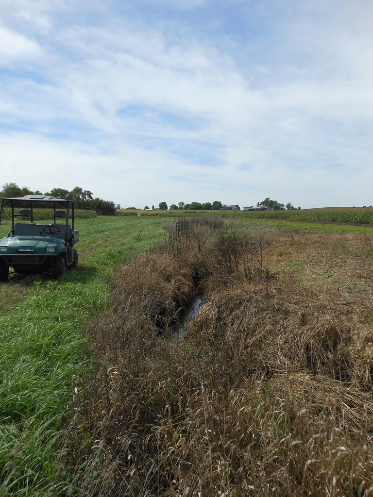
Panorama View of Two-Stage Ditch (10/18/2012)
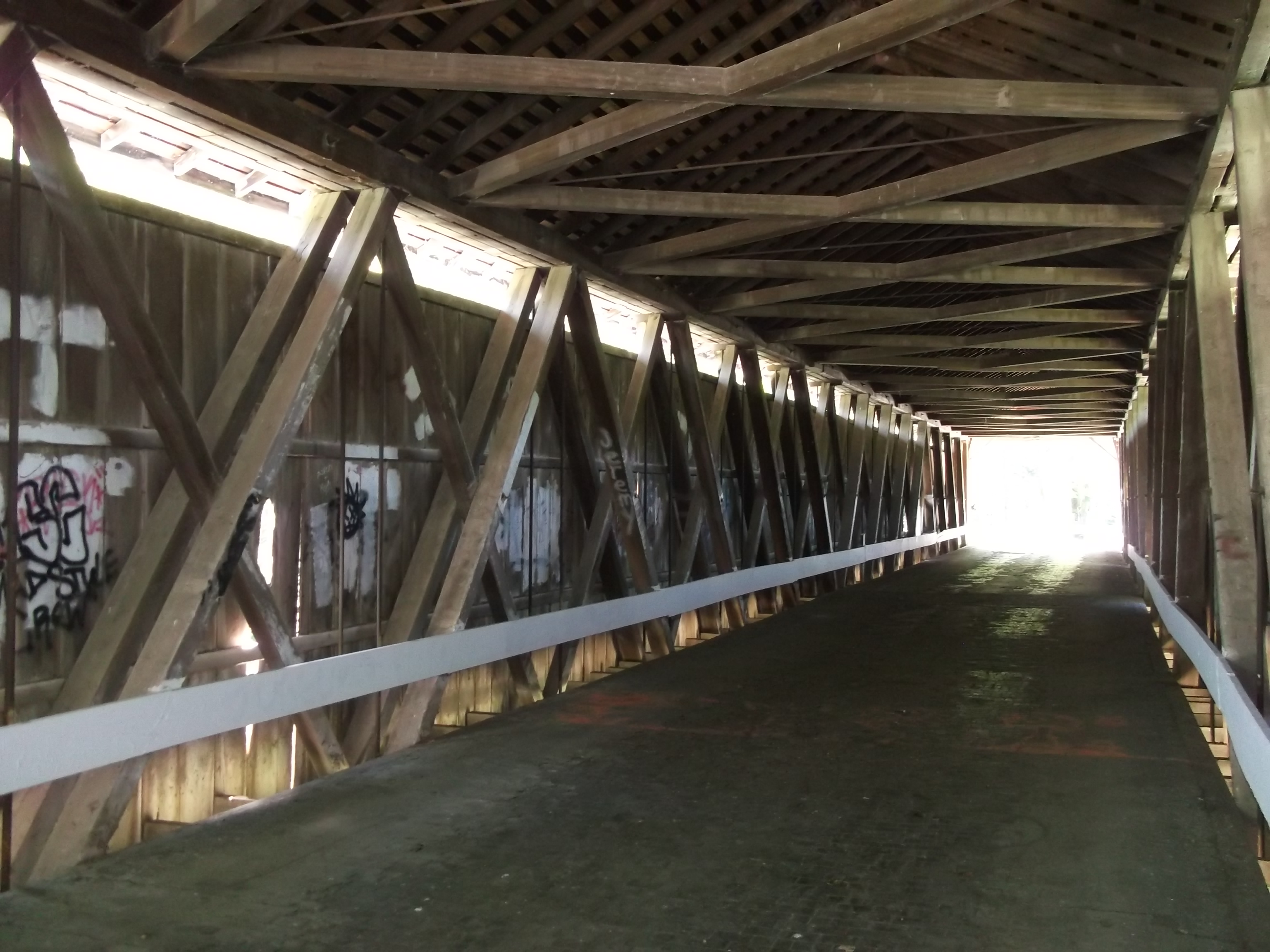
Internal view of Darlington Covered Bridge, Montgomery County, Indiana, showing the Howe Truss construction
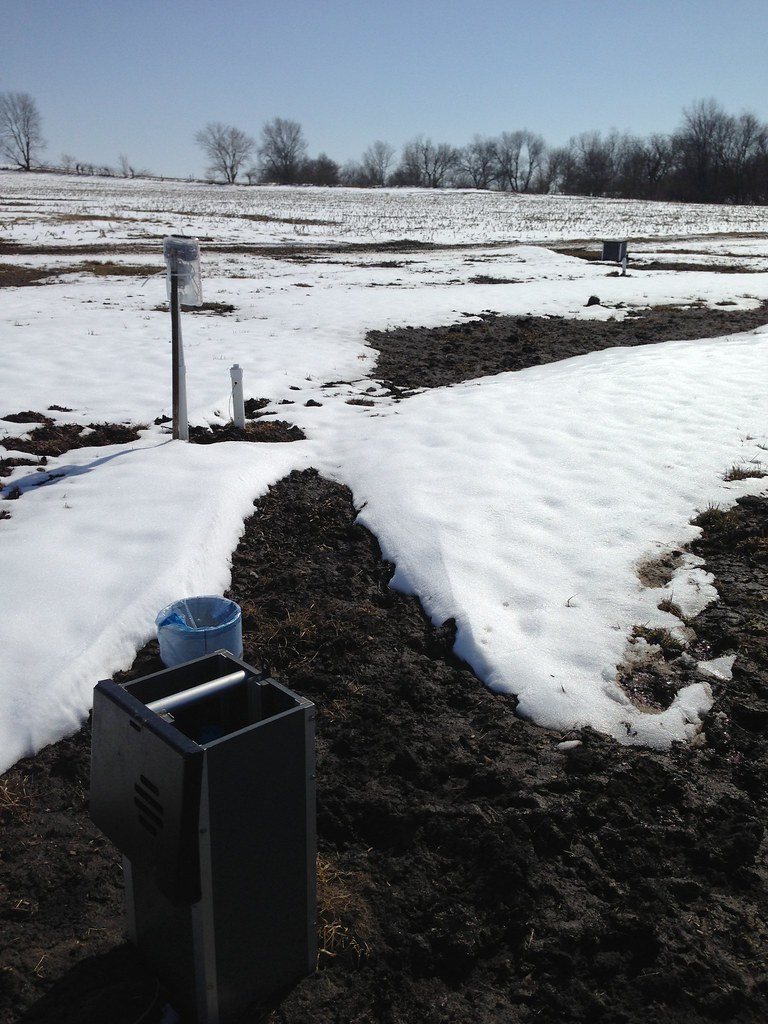
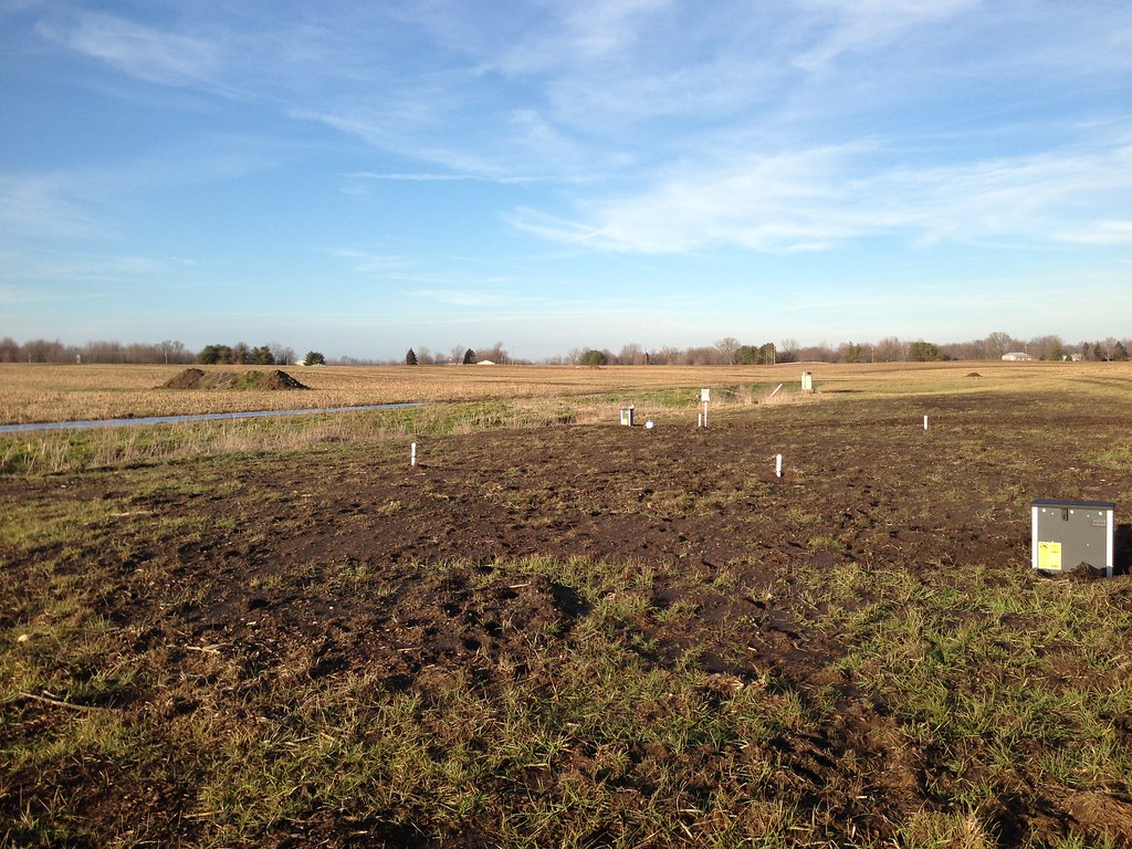
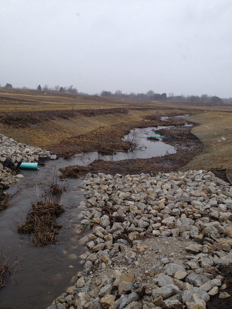
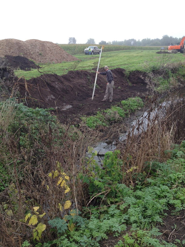
March 8, 2013. View from the outlet drainage structure looking towards the field (back to ditch).
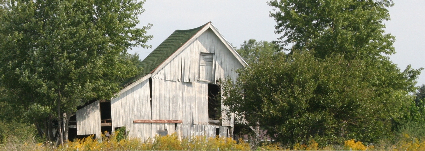
Neglected Barn
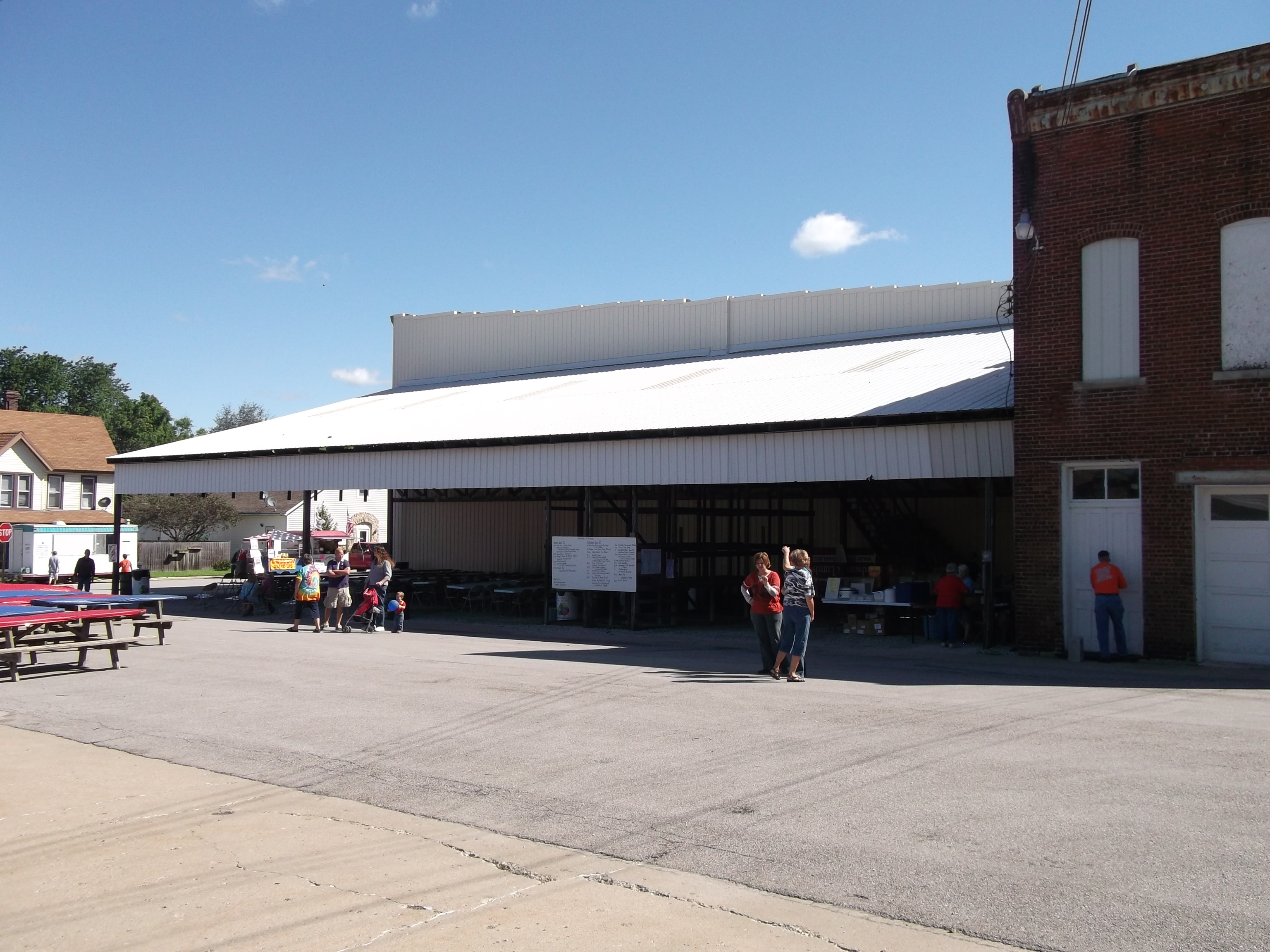
View of the annual Fish Fry and Festival, in Darlington.

View from Darlington Covered Bridge, Montgomery County, Indiana
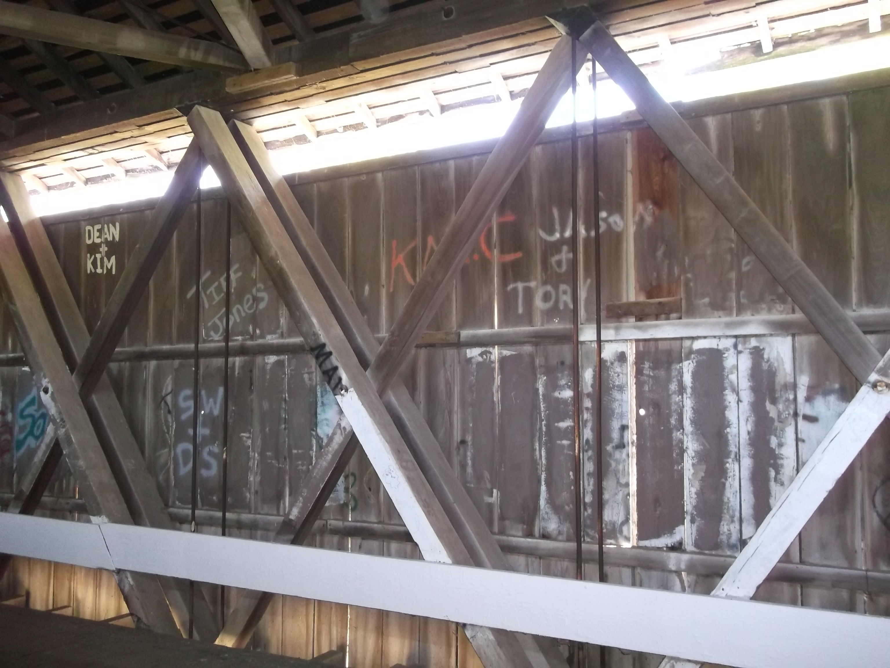
Internal view of Darlington Covered Bridge, Montgomery County, Indiana, showing the Howe Truss construction
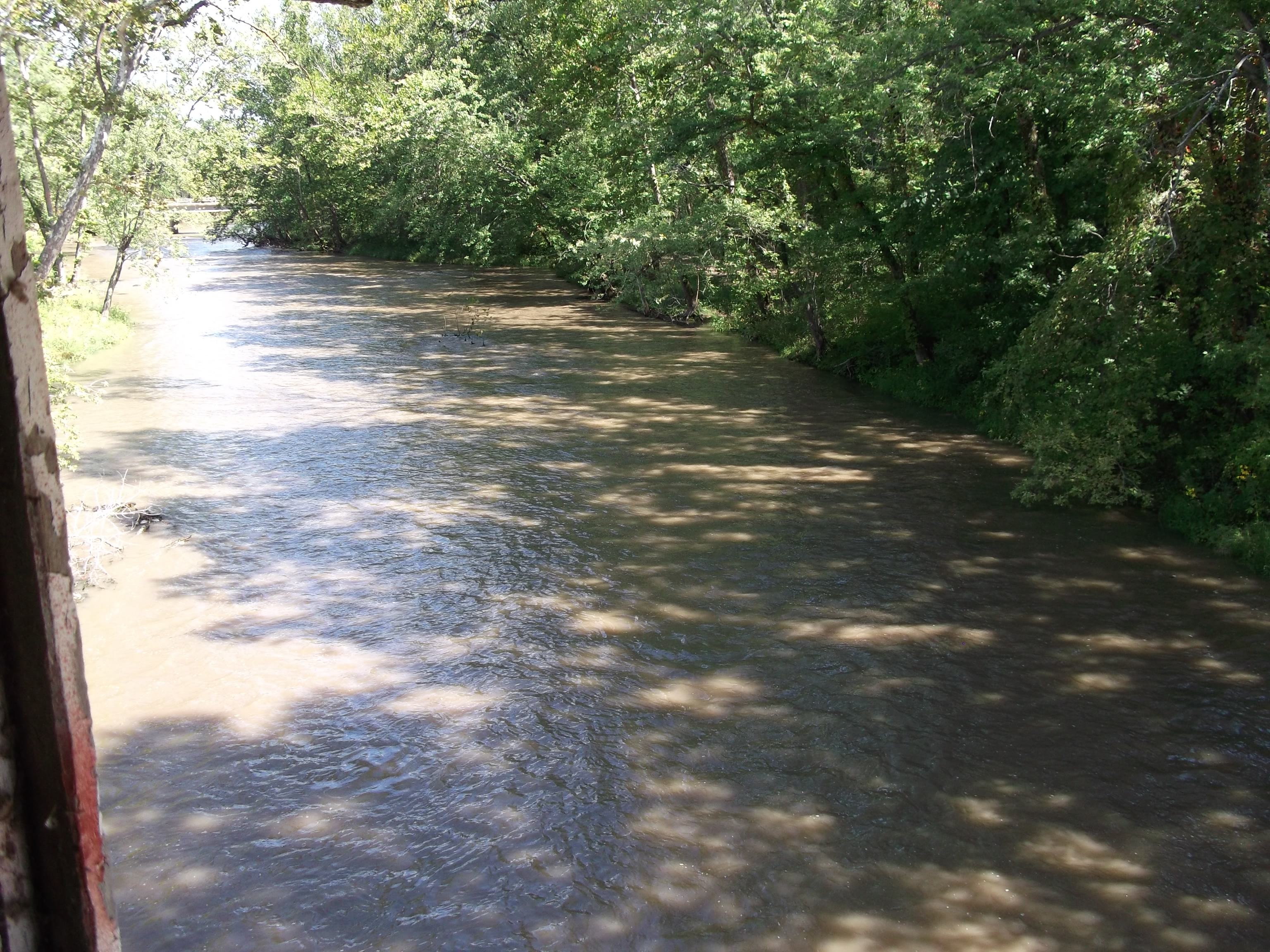
View from Darlington Covered Bridge, Montgomery County, Indiana
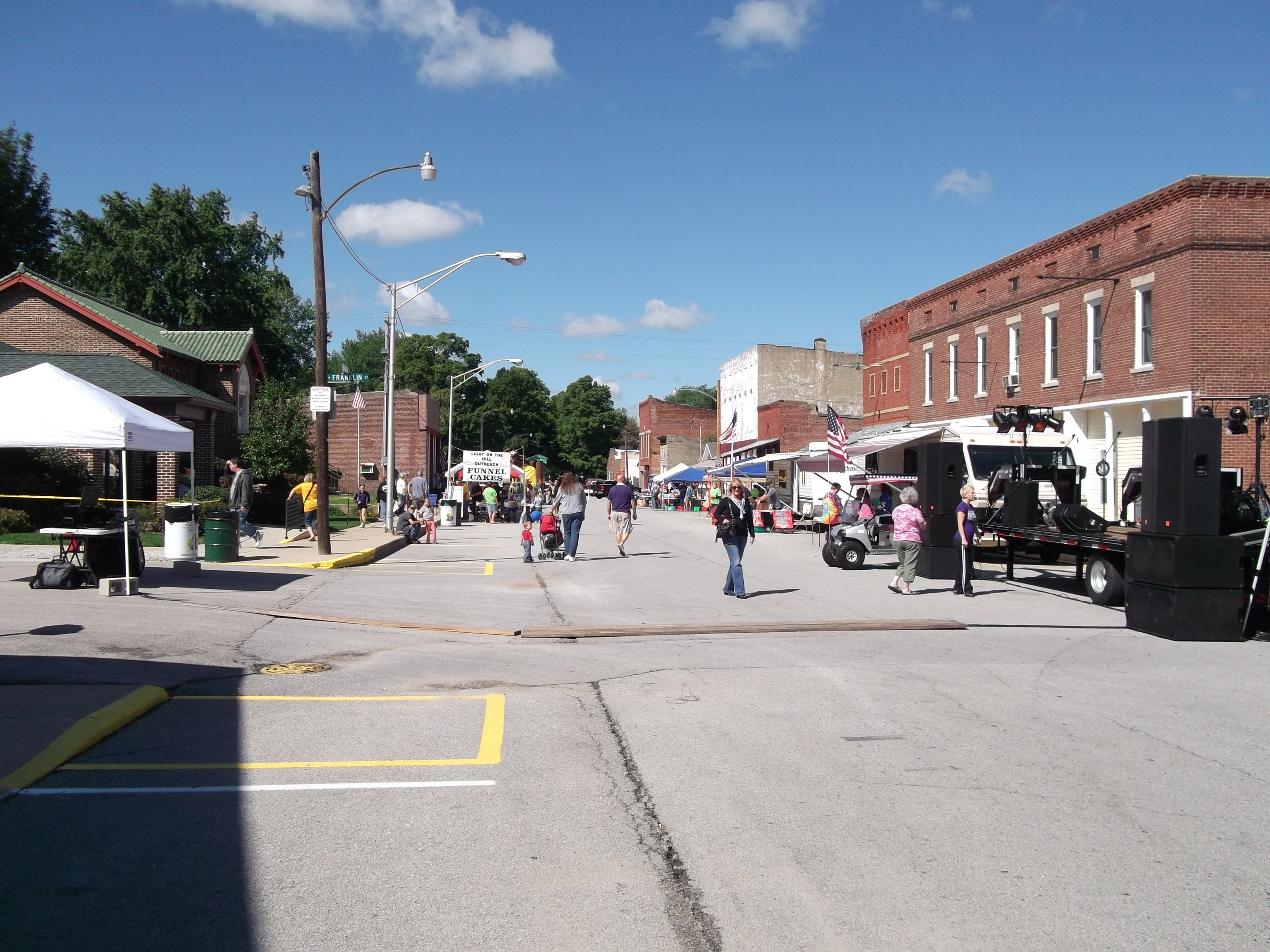
View of the annual Fish Fry and Festi(2)
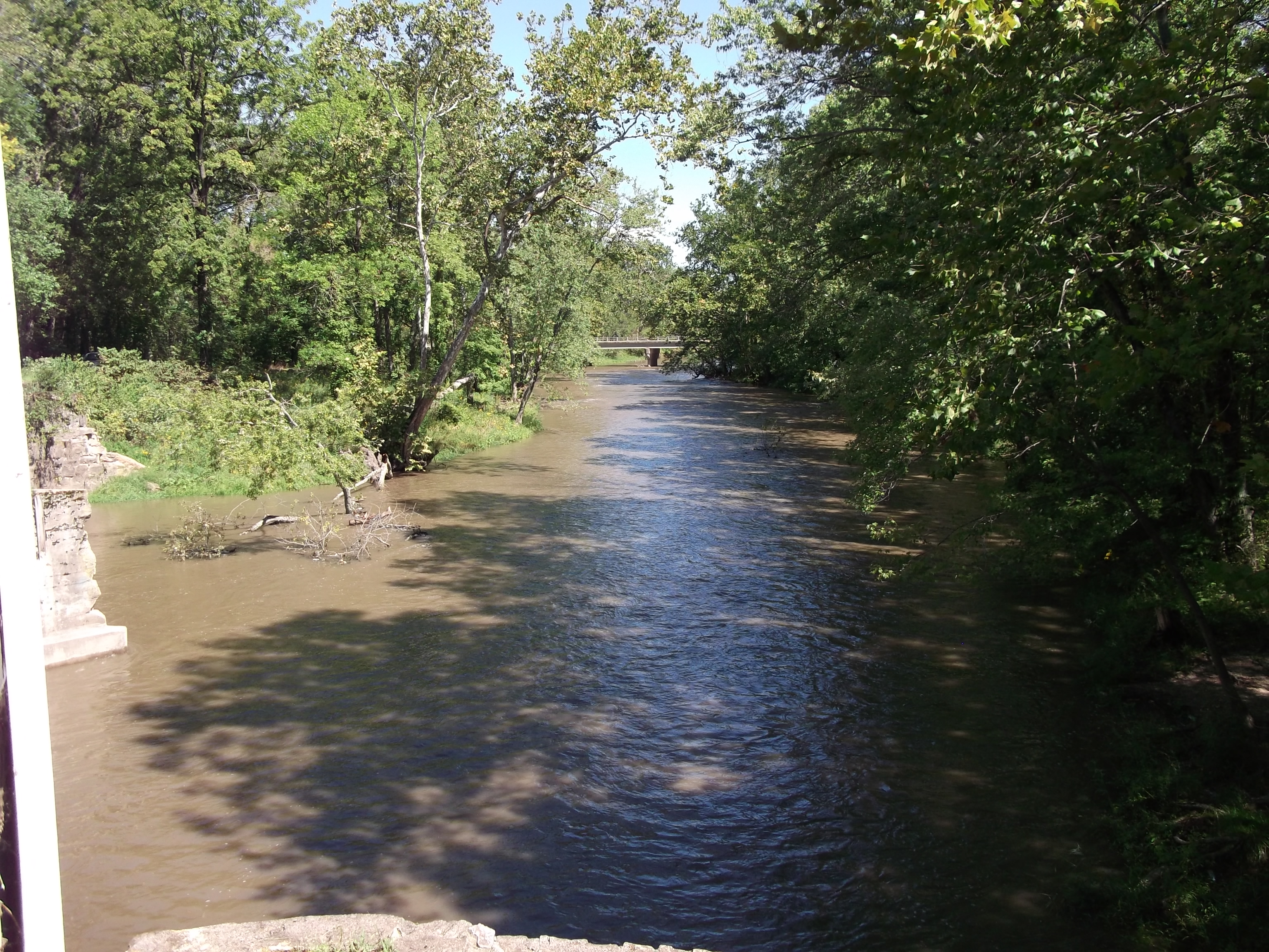
View from Darlington Covered Bridge, Montgomery County, Indiana

Hoosierland Wayfreight

CSX G04125
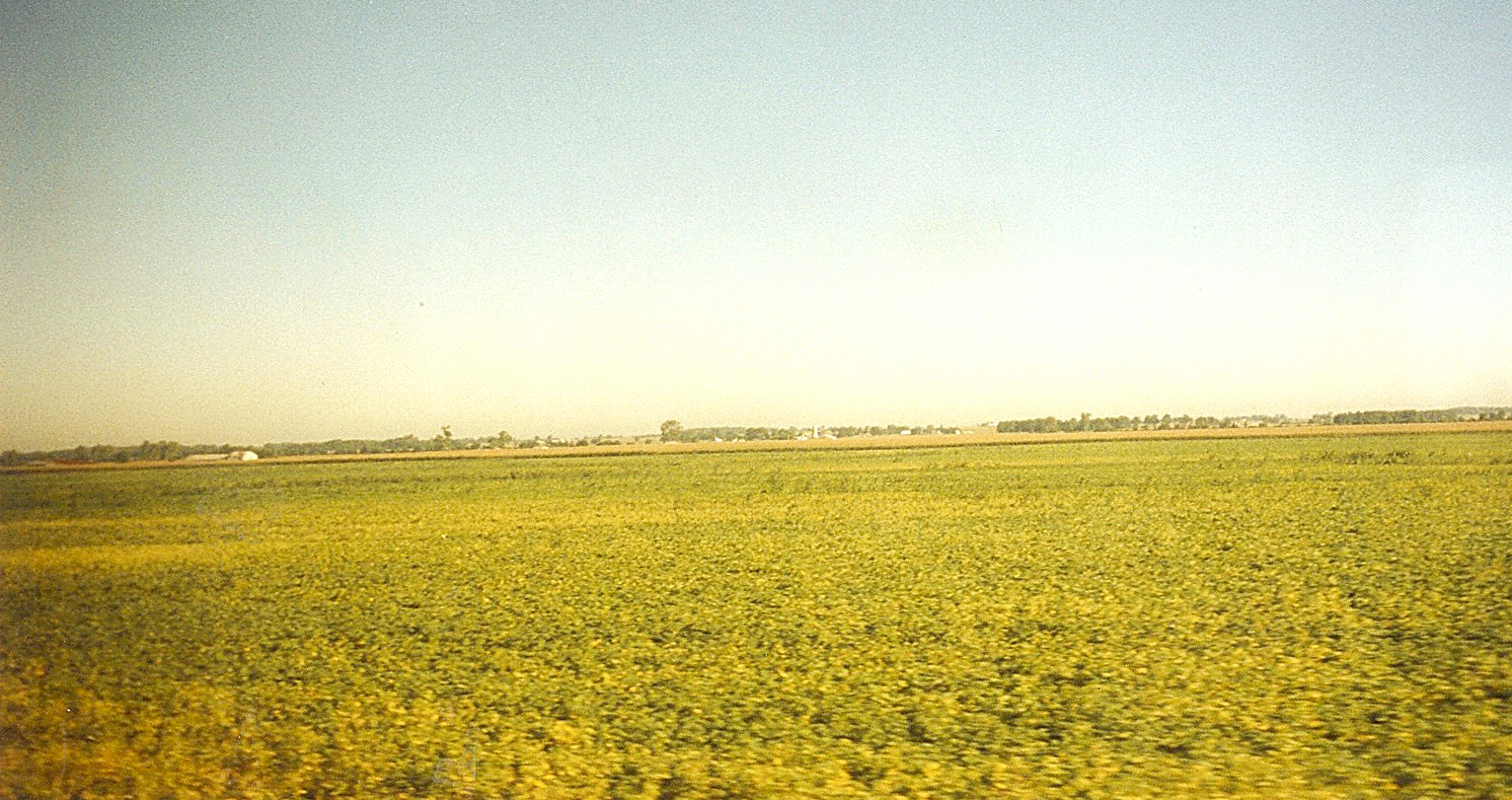
Indiana: Farm Field of Soybeans
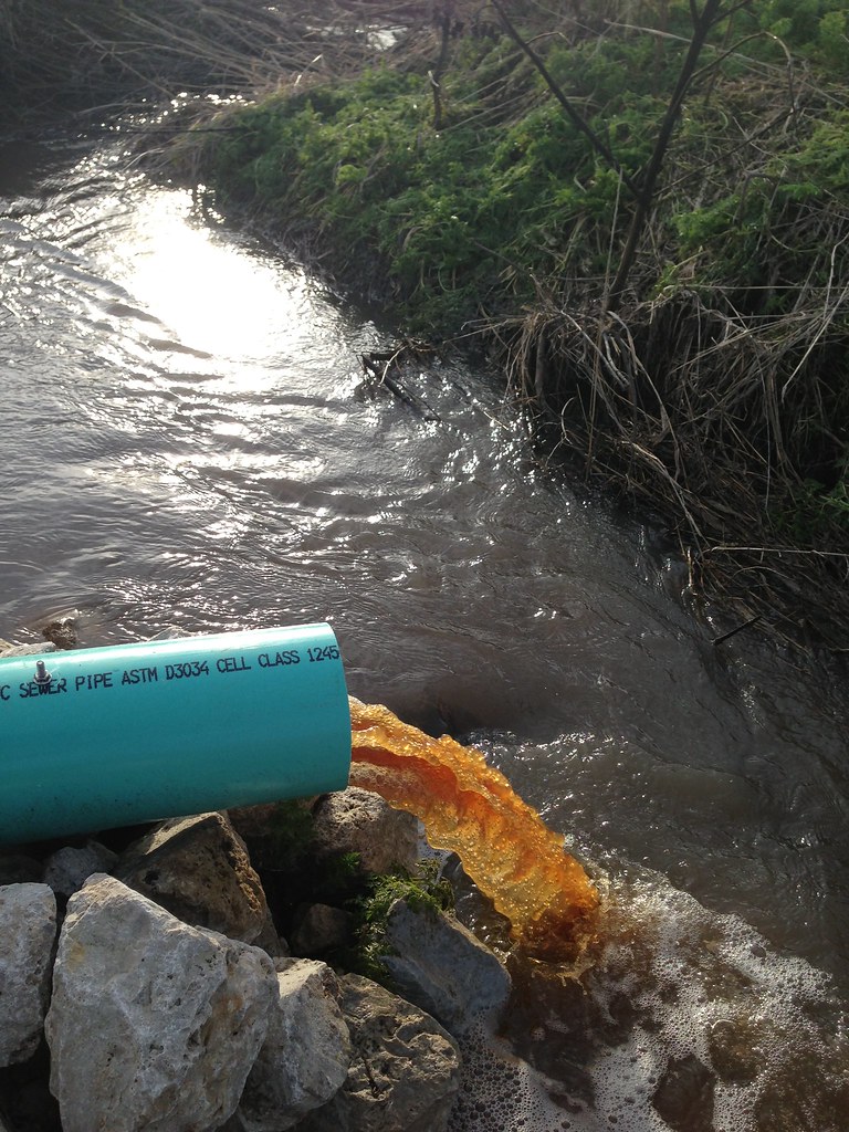
January 11, 2013. The first discharge event and initial "flushing" of the bioreactor. The orange color of the water is due to the high amounts of dissolved organic carbon that are leaching from the woodchips.

Senior shoot...
20101003 IN between Purdue and airport135403677.jpg

MOOOOO!
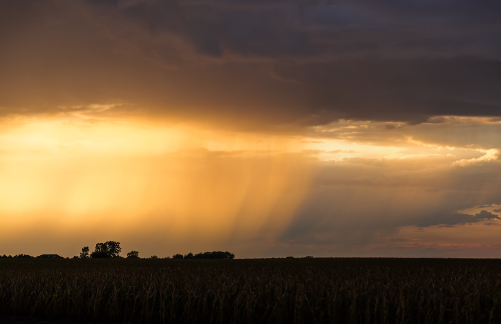
Like Wings of Angels
January 11, 2013
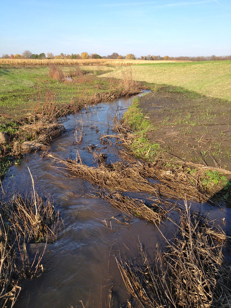
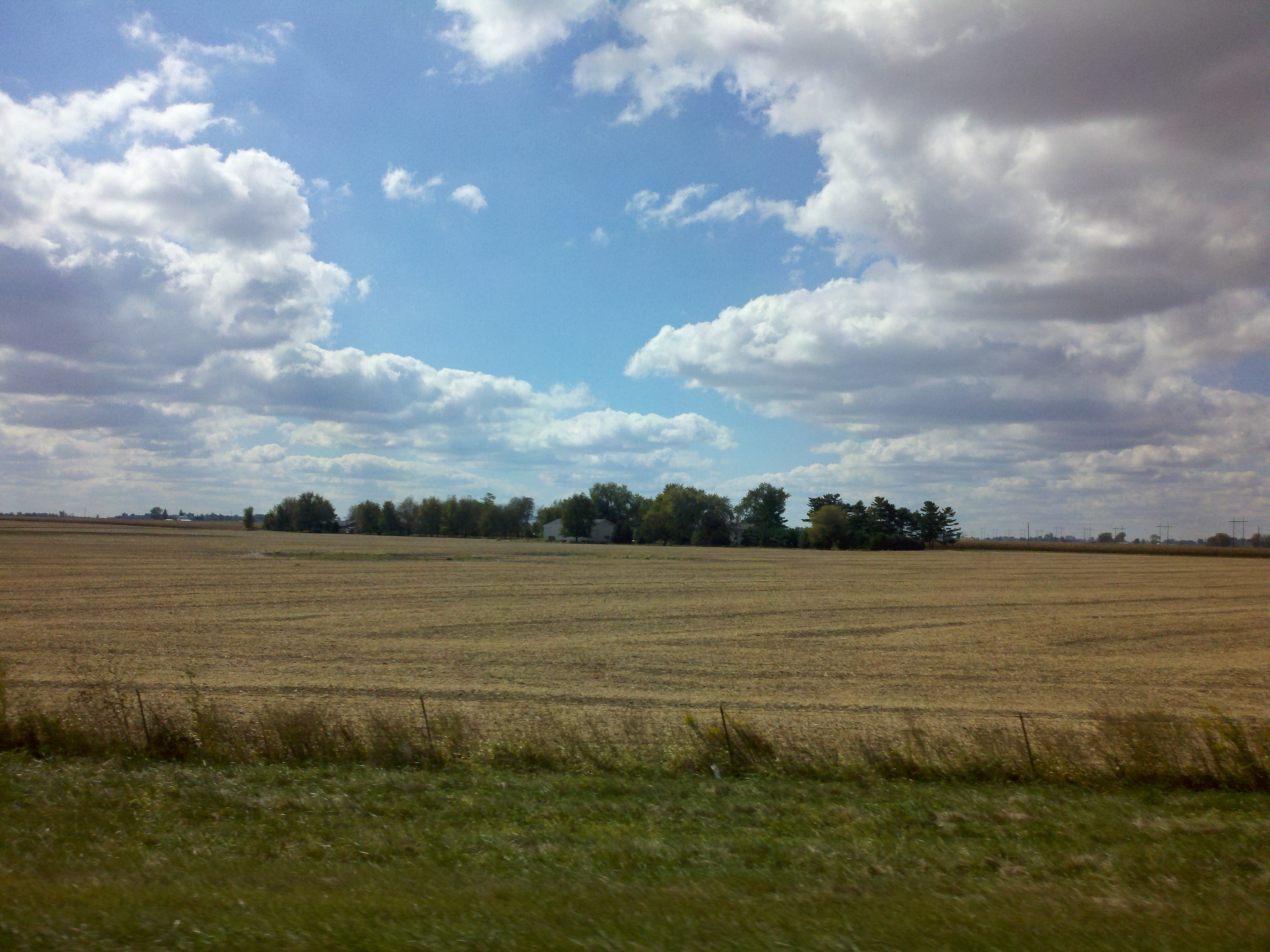
October 24, 2012
October 24, 2012
May 13, 2014. Inlet drainage control structure with the cover off to take in situ measurements.
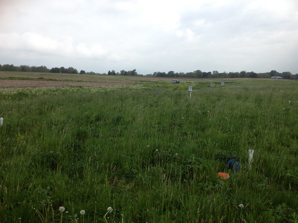
May 13, 2014. The native grasses planted on top of the bioreactor have grown in, growing taller than the monitoring wells and tops of the drainage control structures.

Camp Collum 07-26-2014 3

Picture 285 copy
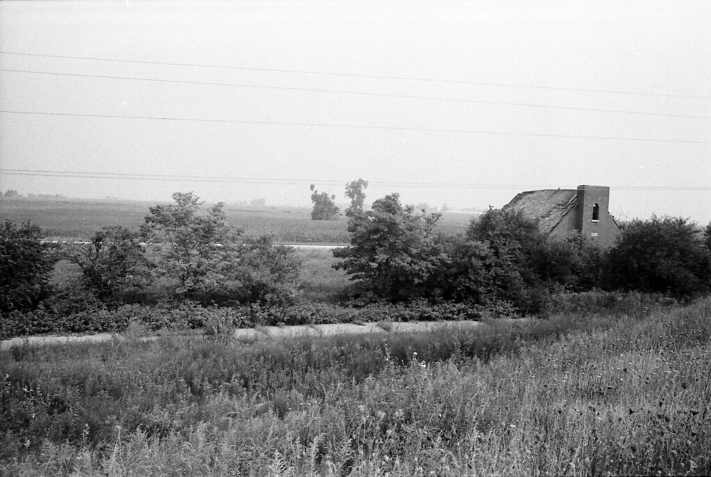
Abandoned Church
April 4, 2013: The wet topsoil outlines the boundaries of the bioreactor. This suggest that when the bioreactor is fully saturated, water moves via capillary action into the top soil layer.
February 27, 2013
September 22, 2012 PRE-CONSTRUCTION
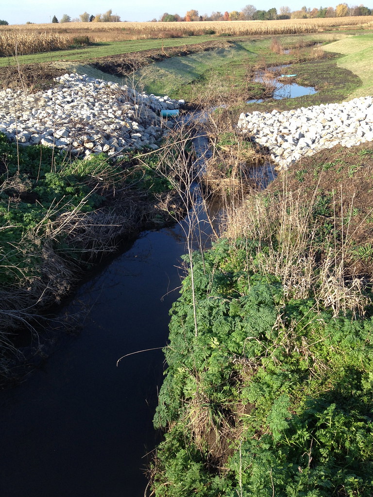
September 27, 2012
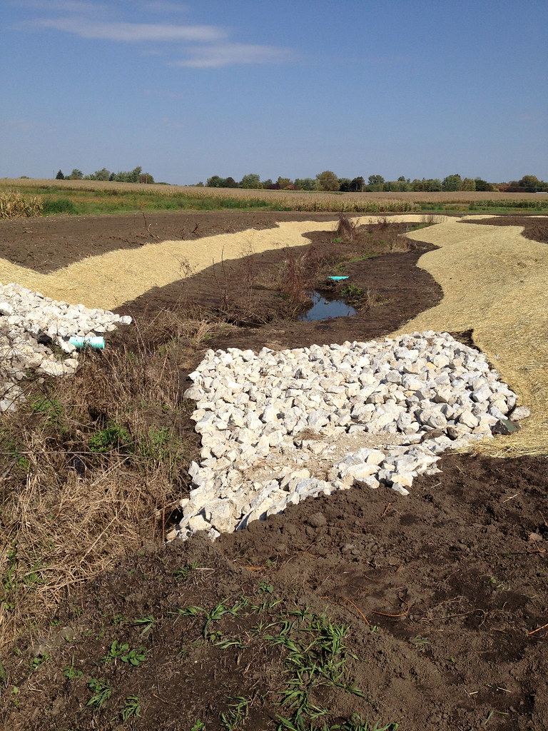
October 4, 2012
Topographic Map of Lauramie Township, IN, USA
Find elevation by address:

Places in Lauramie Township, IN, USA:
Places near Lauramie Township, IN, USA:
White St, Clarks Hill, IN, USA
Clarks Hill
Church St, Lafayette, IN, USA
County Rd, Linden, IN, USA
Sheffield Township
Sugar Creek Township
W State Rd 28, Frankfort, IN, USA
N E, Darlington, IN, USA
10900 Fretz Ln
Wyandotte Rd, Lafayette, IN, USA
E S, Lafayette, IN, USA
N Columbia St, Colfax, IN, USA
Colfax
Tippecanoe County
5579 N 700 E
Perry Township
E Jackson St, Mulberry, IN, USA
Mulberry
Romney
4 Paris Ln S, Romney, IN, USA
Recent Searches:
- Elevation of Corso Fratelli Cairoli, 35, Macerata MC, Italy
- Elevation of Tallevast Rd, Sarasota, FL, USA
- Elevation of 4th St E, Sonoma, CA, USA
- Elevation of Black Hollow Rd, Pennsdale, PA, USA
- Elevation of Oakland Ave, Williamsport, PA, USA
- Elevation of Pedrógão Grande, Portugal
- Elevation of Klee Dr, Martinsburg, WV, USA
- Elevation of Via Roma, Pieranica CR, Italy
- Elevation of Tavkvetili Mountain, Georgia
- Elevation of Hartfords Bluff Cir, Mt Pleasant, SC, USA