Elevation of 4 Paris Ln S, Romney, IN, USA
Location: United States > Indiana > Tippecanoe County > Randolph Township > Romney >
Longitude: -86.904201
Latitude: 40.24946
Elevation: 224m / 735feet
Barometric Pressure: 99KPa
Elevation Map:
Satellite Map:
Related Photos:
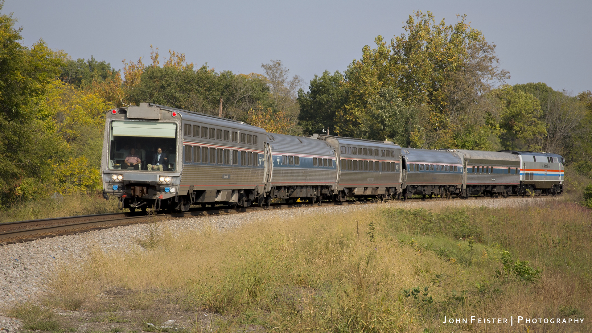
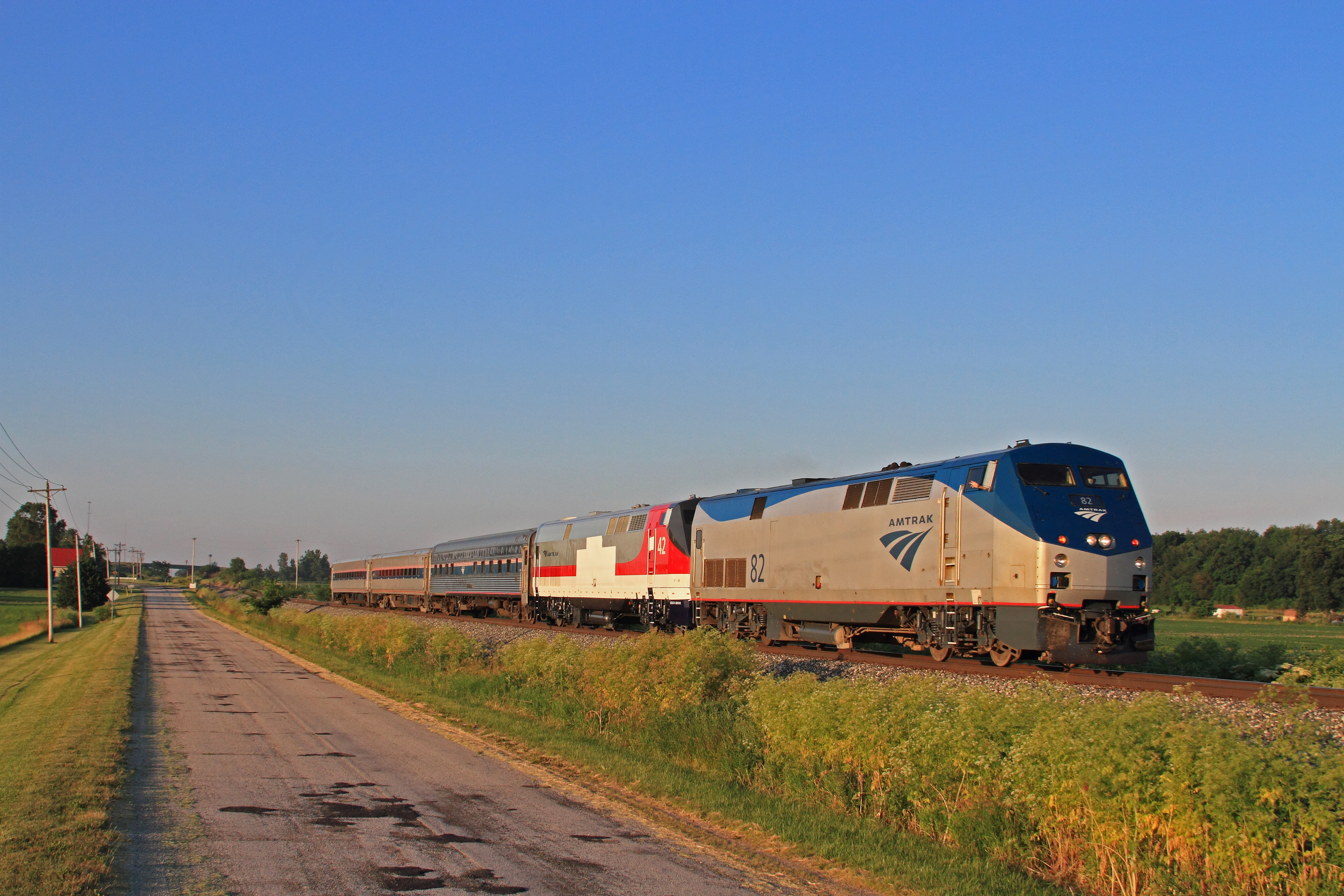
Amtrak Office Car Special

365 #355

426 Tippecanoe School Corp
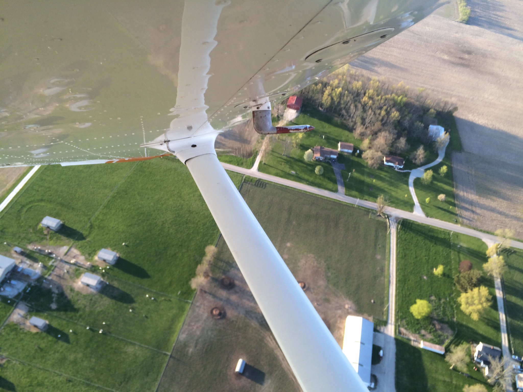
View from the ,2nd floor

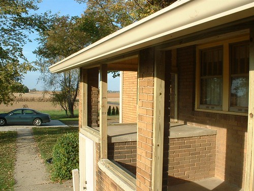
BackPorch Day 1: From the West
Our Old House

Indiana: Traveling the old Monon Railroad

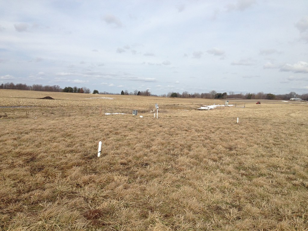
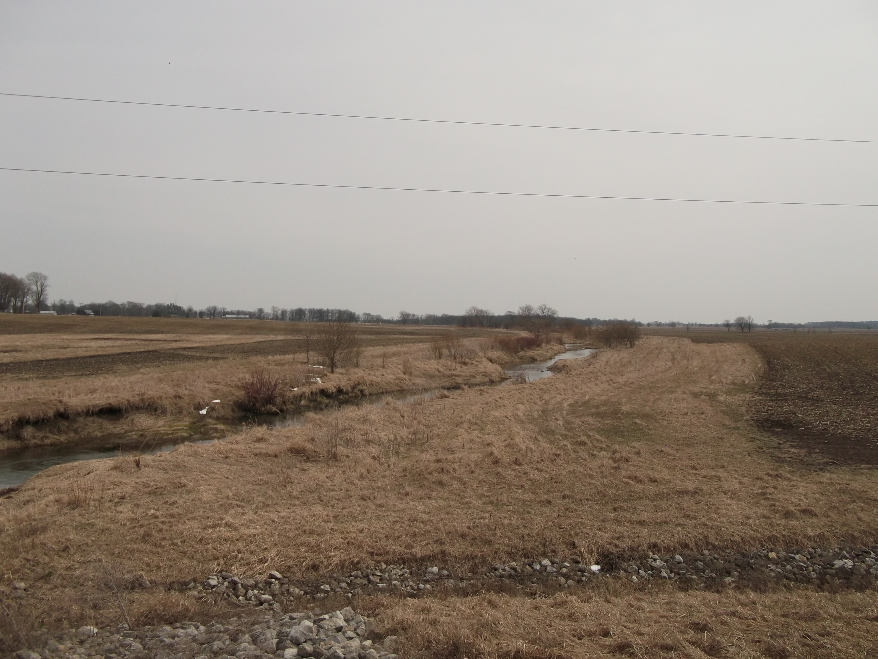
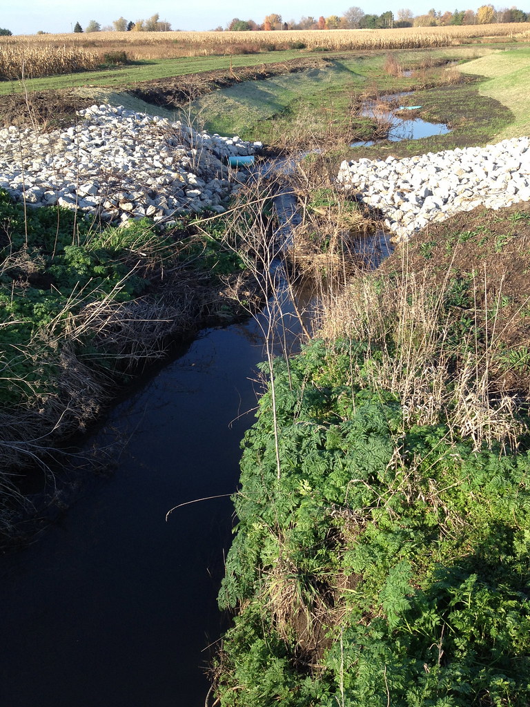
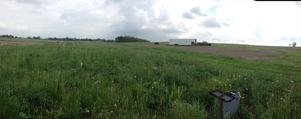
Panorama View of Two-Stage Ditch (10/18/2012)
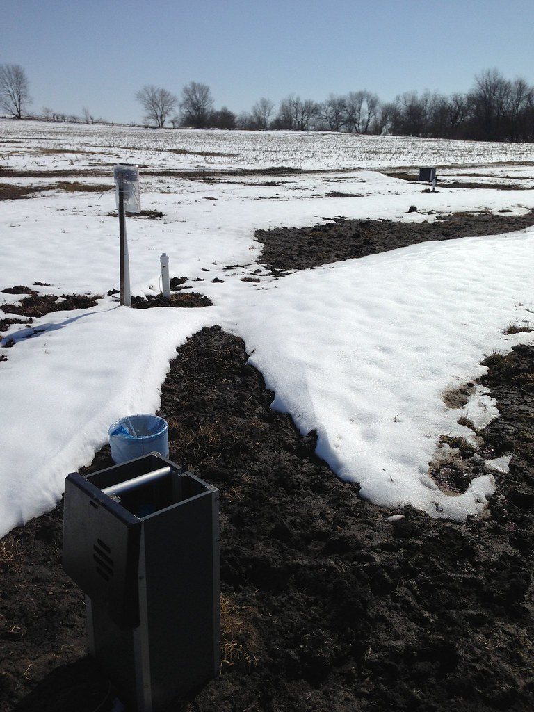
March 8, 2013. View from the outlet drainage structure looking towards the field (back to ditch).
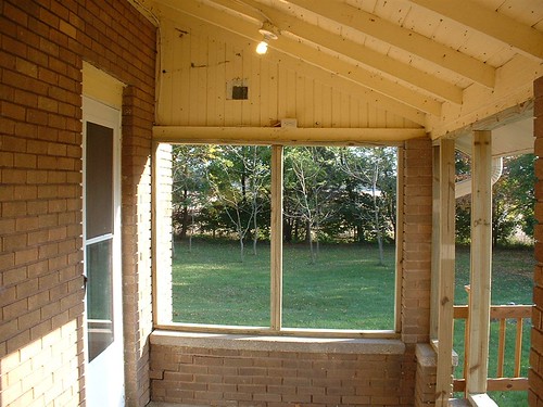
BackPorch Day 1: Facing North
Back Porch Day 1: A Mess
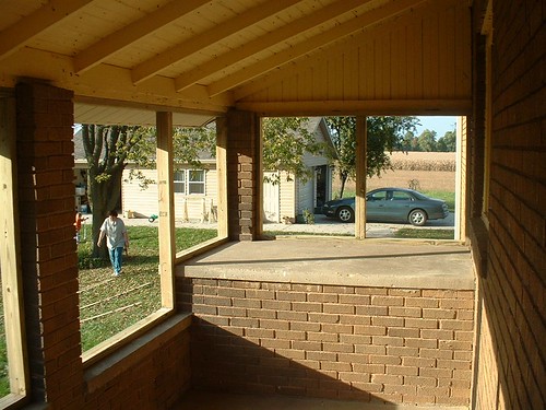
BackPorch Day 1: Facing South
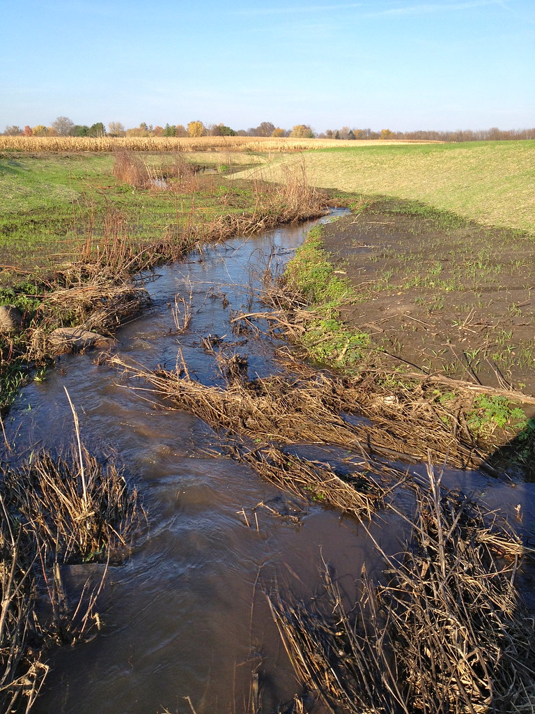
January 13, 2014. View from the inlet drainage control structure, looking towards the ditch.
BackPorch Day 1: From the Steps
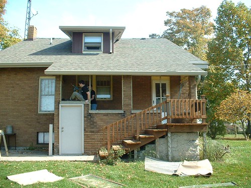
First Home

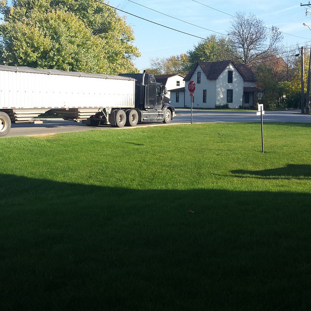
2875 Monarch Beverage of Indianapolis KENWORTH T440CNG Side View

Tippecanoe School Corporation 2014 IC CE #1401 one of 5 IC CE BUSES 1401-05
Indiana Dept of Transport Survey Benc(8)

Hoosierland Wayfreight

CSX G04125
P851 Northbound at Linden (Veterans Unit in Tow)
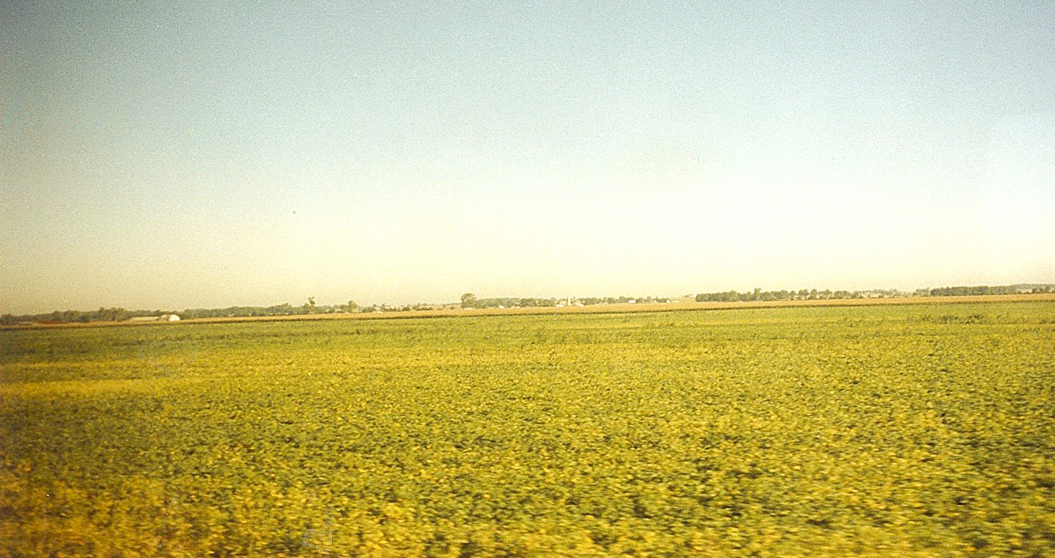
Indiana: Farm Field of Soybeans
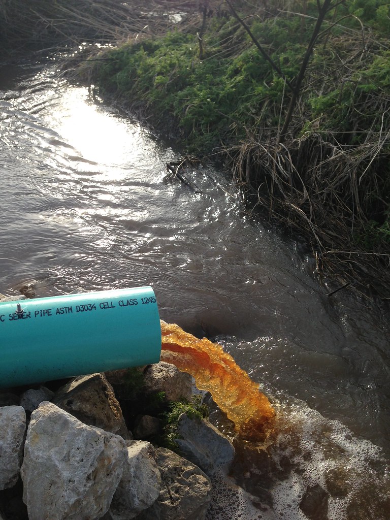
January 11, 2013. The first discharge event and initial "flushing" of the bioreactor. The orange color of the water is due to the high amounts of dissolved organic carbon that are leaching from the woodchips.

Peterbilt 386

July Skies

1946 US 231 Bypass

All That We See Or Seem

2008 TIPPECANOE SCHOOL CORPORATION IC RE #0809

MOOOOO!

Like Wings of Angels
October 24, 2012

Silvery Checkerspot
October 24, 2012
International 9400 Eagle Sleeper coming from Cargill Lafayette Plant

Hay Bales
May 13, 2014. Inlet drainage control structure with the cover off to take in situ measurements.
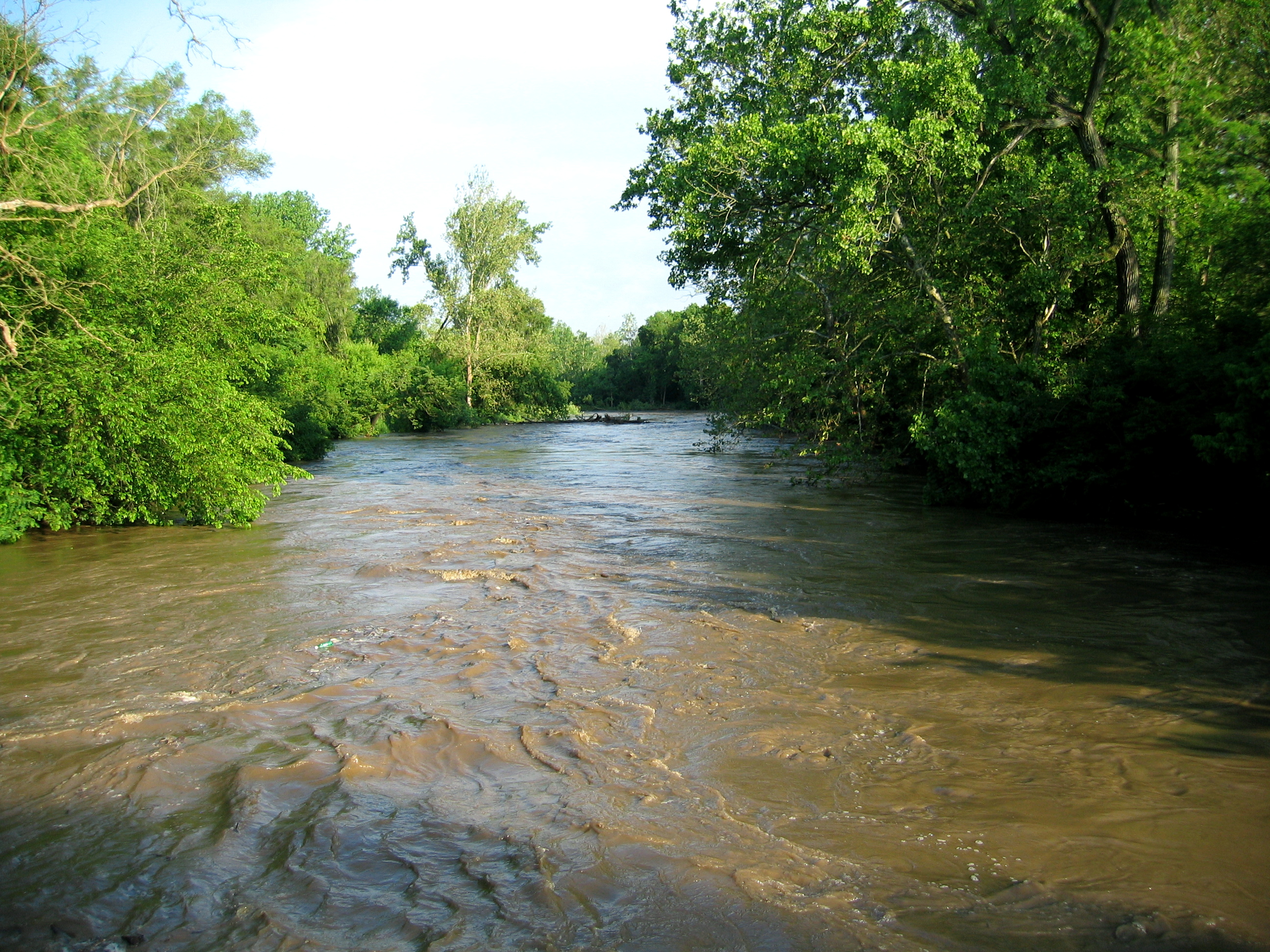
Same Creek - Different Day
Topographic Map of 4 Paris Ln S, Romney, IN, USA
Find elevation by address:

Places near 4 Paris Ln S, Romney, IN, USA:
Romney
Randolph Township
Linden
Wea Township
Madison Township
County Rd, Linden, IN, USA
2511 W 550 S
516 N Admirals Pointe Dr
Wea Ridge Middle School
3902 Pennypackers Mill Rd
Tippecanoe County
Coal Creek Township
Norwegian Dr, Lafayette, IN, USA
E S, Lafayette, IN, USA
Church St, Lafayette, IN, USA
Lauramie Township
314 Oaklawn Dr
Oerlikon Fairfield
1100 Wells St
Sheffield Township
Recent Searches:
- Elevation of Corso Fratelli Cairoli, 35, Macerata MC, Italy
- Elevation of Tallevast Rd, Sarasota, FL, USA
- Elevation of 4th St E, Sonoma, CA, USA
- Elevation of Black Hollow Rd, Pennsdale, PA, USA
- Elevation of Oakland Ave, Williamsport, PA, USA
- Elevation of Pedrógão Grande, Portugal
- Elevation of Klee Dr, Martinsburg, WV, USA
- Elevation of Via Roma, Pieranica CR, Italy
- Elevation of Tavkvetili Mountain, Georgia
- Elevation of Hartfords Bluff Cir, Mt Pleasant, SC, USA