Elevation of Laramie Mountains HP, Colorado, USA
Location: United States > Colorado > Larimer County > Red Feather Lakes >
Longitude: -105.71611
Latitude: 40.7702777
Elevation: 3348m / 10984feet
Barometric Pressure: 67KPa
Elevation Map:
Satellite Map:
Related Photos:
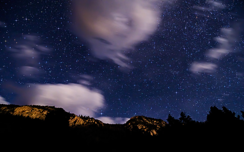
Steller Night Sky Motion
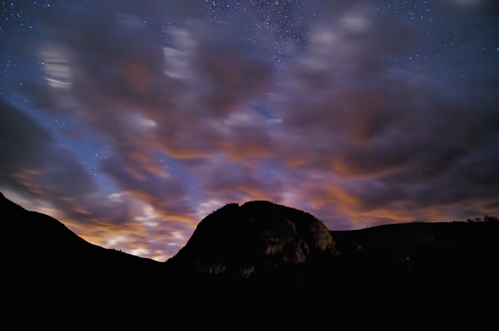
Sleeping Elephant Rock Sleeps

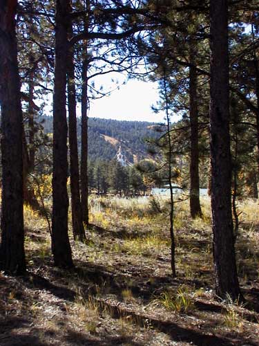
Trail in the fall
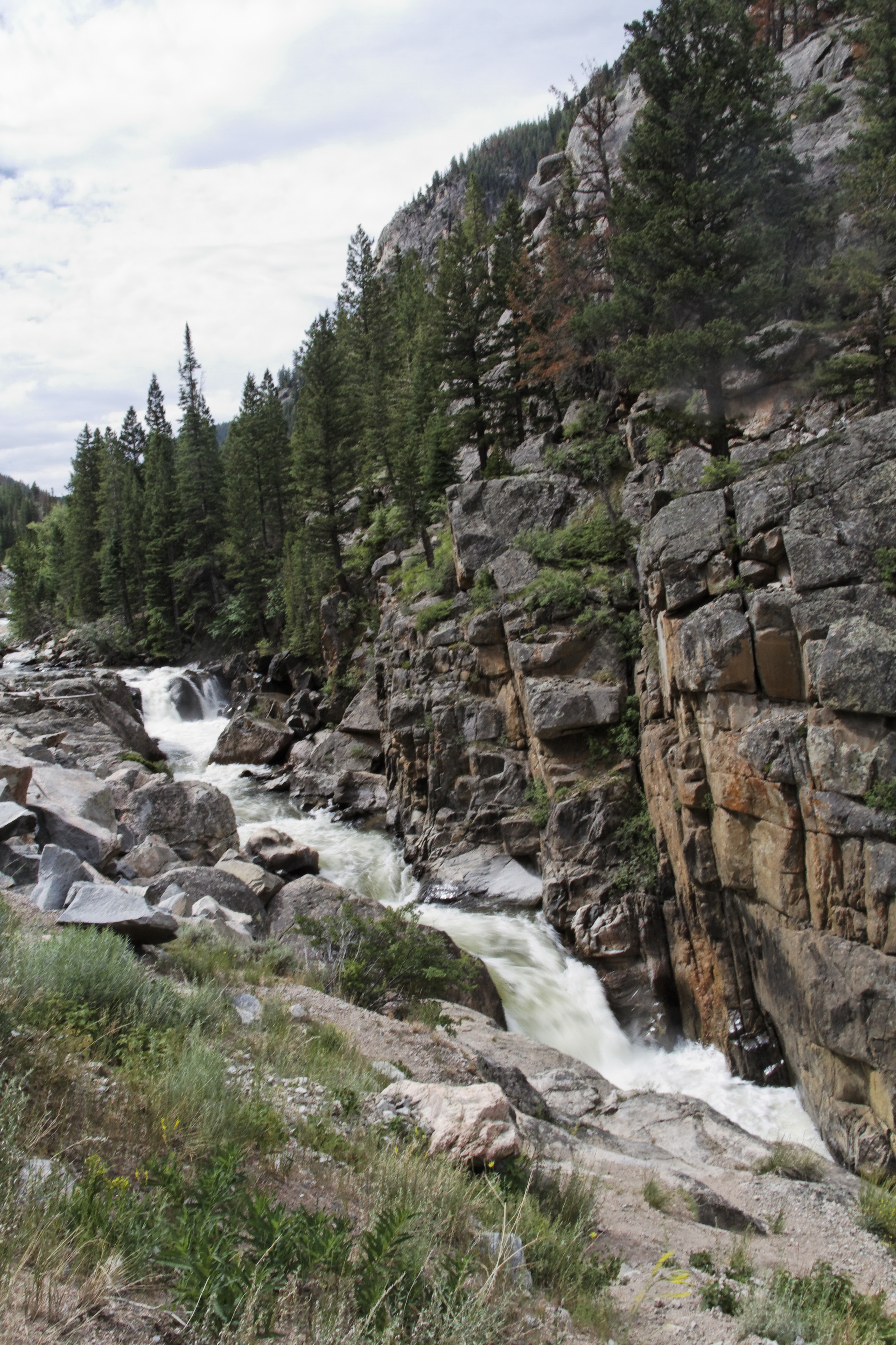
A Different Path
20100727_0340_DxO.jpg

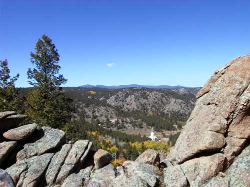
View from Great Stupa
Above the Great Stupa
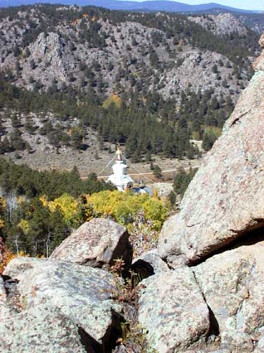
The Valley of the Great Stupa
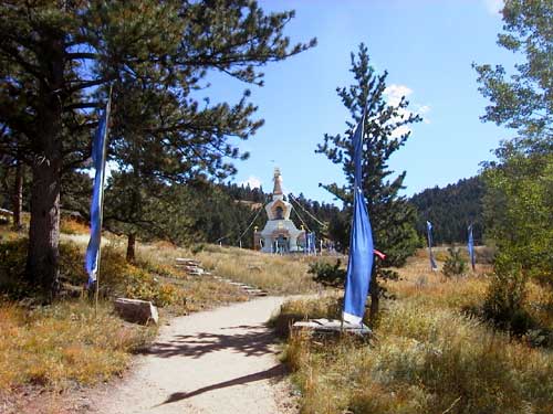
My First View of the Great Stupa
Topographic Map of Laramie Mountains HP, Colorado, USA
Find elevation by address:

Places near Laramie Mountains HP, Colorado, USA:
Big Bend Campground
42163 Poudre Canyon Rd
Poudre Canyon Rd, Bellvue, CO, USA
35 Black Hollow Rd
Trading Post Resort
33707 Poudre Canyon Rd
Poudre Canyon Rd, Bellvue, CO, USA
Poudre Canyon Chapel
Spencer Heights
33021 Poudre Canyon Rd
185 Meadow Ln
32759 Poudre Canyon Rd
Larimer County
Crown Point
Rustic
Pingree Hill
31370 Poudre Canyon Rd
Shambhala Mountain Center
224 Whispering Pines
18100 W County Rd 74e
Recent Searches:
- Elevation of Corso Fratelli Cairoli, 35, Macerata MC, Italy
- Elevation of Tallevast Rd, Sarasota, FL, USA
- Elevation of 4th St E, Sonoma, CA, USA
- Elevation of Black Hollow Rd, Pennsdale, PA, USA
- Elevation of Oakland Ave, Williamsport, PA, USA
- Elevation of Pedrógão Grande, Portugal
- Elevation of Klee Dr, Martinsburg, WV, USA
- Elevation of Via Roma, Pieranica CR, Italy
- Elevation of Tavkvetili Mountain, Georgia
- Elevation of Hartfords Bluff Cir, Mt Pleasant, SC, USA