Elevation of Lakeview Heights, KY, USA
Location: United States > Kentucky >
Longitude: -83.504352
Latitude: 38.1514705
Elevation: 249m / 817feet
Barometric Pressure: 98KPa
Elevation Map:
Satellite Map:
Related Photos:

Chesapeake & Ohio Railway, Kentucky, Morehead

Chesapeake & Ohio Railway, Kentucky, Morehead

Engine Engine # 9

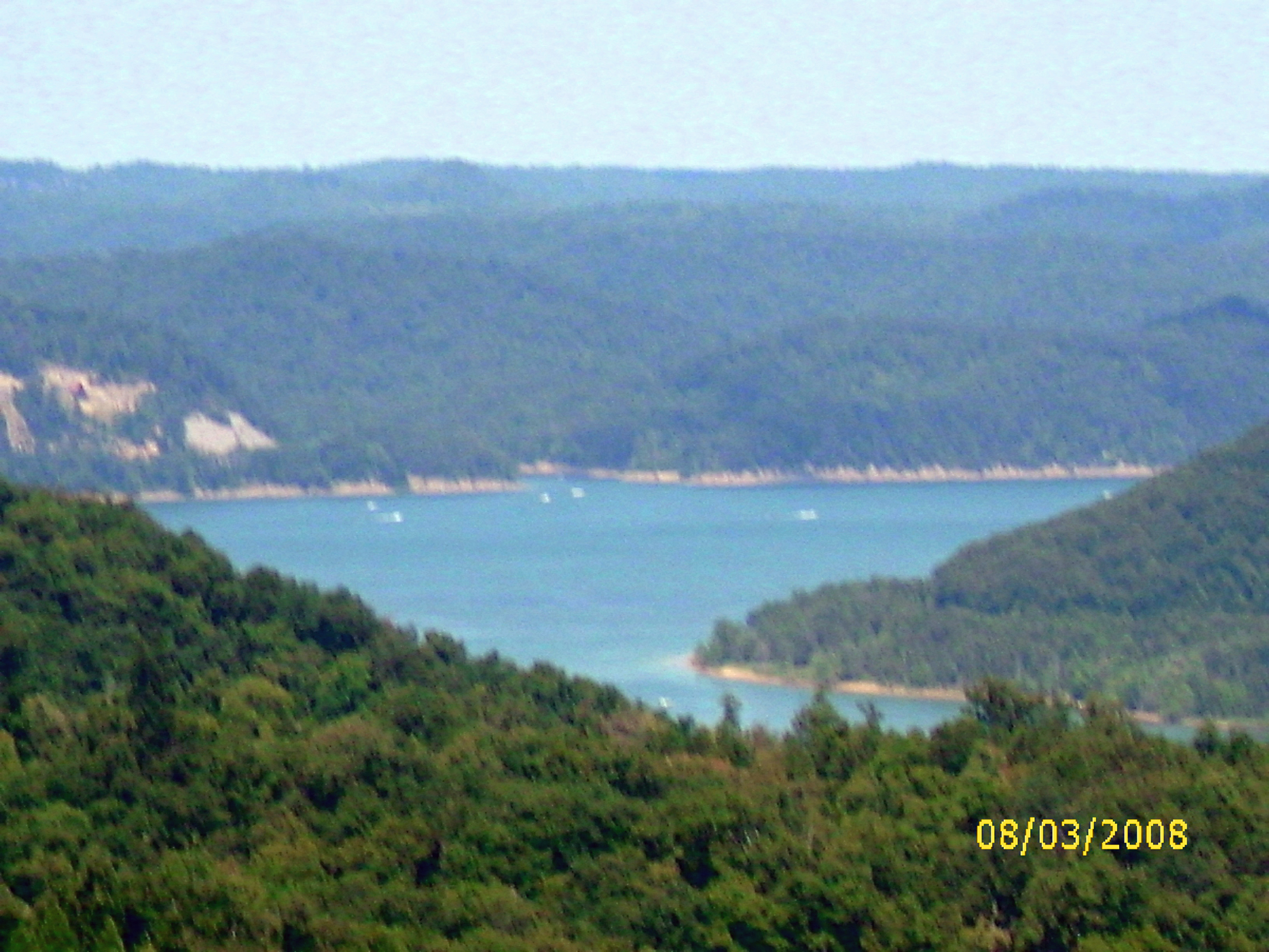
Another Panorama of the Lake

Cave Run Lake - Tater Knob Fire Tower
I Said Go

Cave Run Lake dam

Cassidy Estate View

View from Look Out Rock
view of the lake from the tower

Rodburn park fire panorama

Cave Run

Creation Falls 3, Daniel Boone National Forest, Wolfe Co, KY

A bad day at the lake is better than any good day at work.

Cave Run Lake
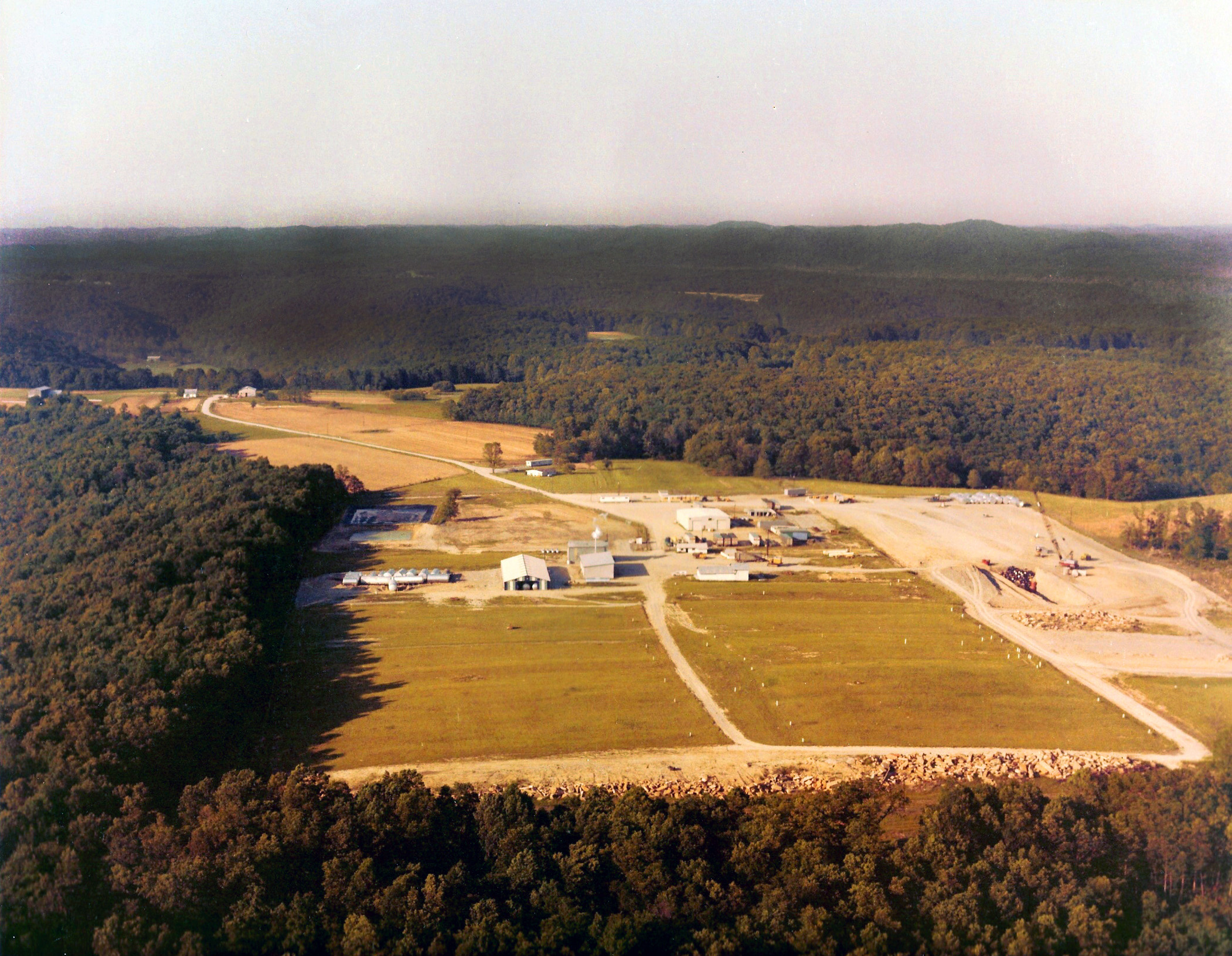
Maxey Flat Low Level Radioactive Waste Facility

Kodak 7240

The decent into Morehead off the Sheltowee Trace Trail . This one would have my brakes literally smoking.

Trudged thru 24 miles ~12 was deep mud. Swim time!

The decent into Morehead off the Sheltowee Trace Trail . This one would have my brakes literally smoking.

Mt. Lockegee Panorama

Mt. Lockegee, Clearfield, KY

zilpo overlook

Panorama from Zilpo overlook

Semi-palmated Sandpiper

Stone Lick Lake

Riser and lake
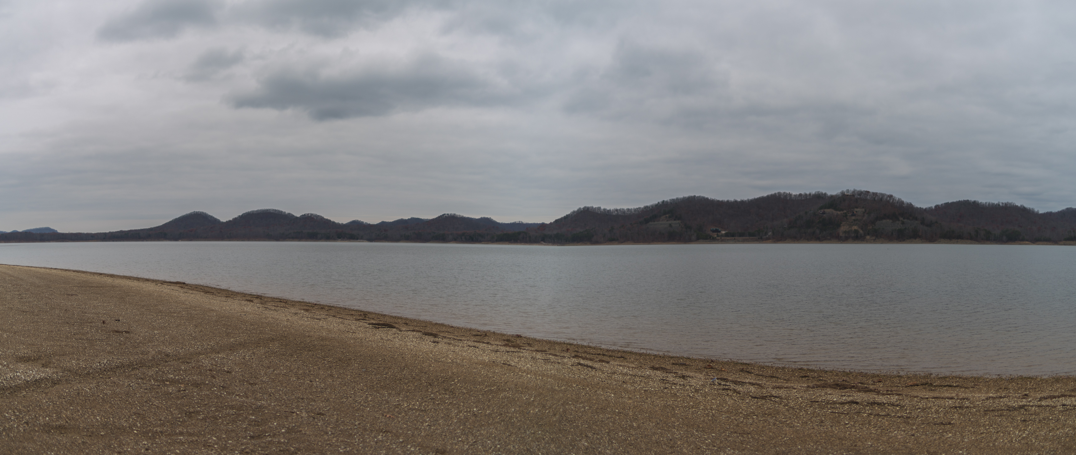
Zilpo beach in December

Stone Lick Lake
Topographic Map of Lakeview Heights, KY, USA
Find elevation by address:

Places in Lakeview Heights, KY, USA:
Places near Lakeview Heights, KY, USA:
Freestone Rd, Morehead, KY, USA
444 Forest Hills Dr
Rowan County
555 Viking Dr
555 Viking Dr
3980 Ky-32
Morehead
64 Nolin Ct
Morehead State University
10 Newcastle Ln
76 Limousine Ln
KY-, Hillsboro, KY, USA
E Main St, Morehead, KY, USA
Interstate 64
Shilo Drive
Crain Creek Road
Moores Ferry Rd, Salt Lick, KY, USA
1366 Lower Rock Lick Rd
2175 Johnson School Rd
Lakeview Heights, KY, USA
Recent Searches:
- Elevation of Corso Fratelli Cairoli, 35, Macerata MC, Italy
- Elevation of Tallevast Rd, Sarasota, FL, USA
- Elevation of 4th St E, Sonoma, CA, USA
- Elevation of Black Hollow Rd, Pennsdale, PA, USA
- Elevation of Oakland Ave, Williamsport, PA, USA
- Elevation of Pedrógão Grande, Portugal
- Elevation of Klee Dr, Martinsburg, WV, USA
- Elevation of Via Roma, Pieranica CR, Italy
- Elevation of Tavkvetili Mountain, Georgia
- Elevation of Hartfords Bluff Cir, Mt Pleasant, SC, USA