Elevation of Rowan County, KY, USA
Location: United States > Kentucky >
Longitude: -83.464355
Latitude: 38.177068
Elevation: 285m / 935feet
Barometric Pressure: 98KPa
Elevation Map:
Satellite Map:
Related Photos:

Engine Engine # 9

I Said Go
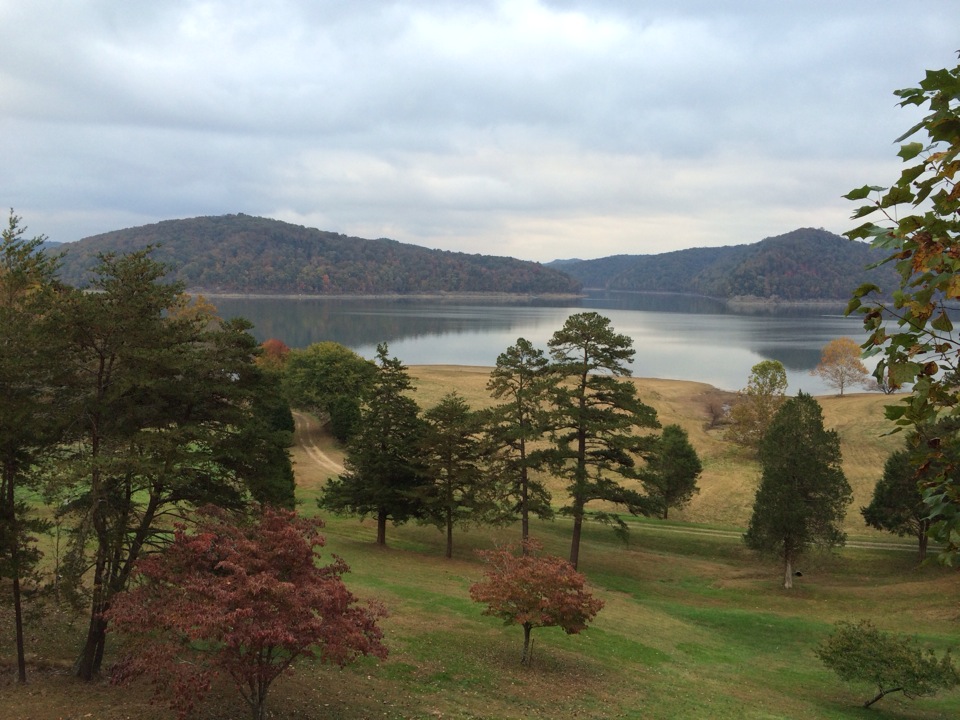
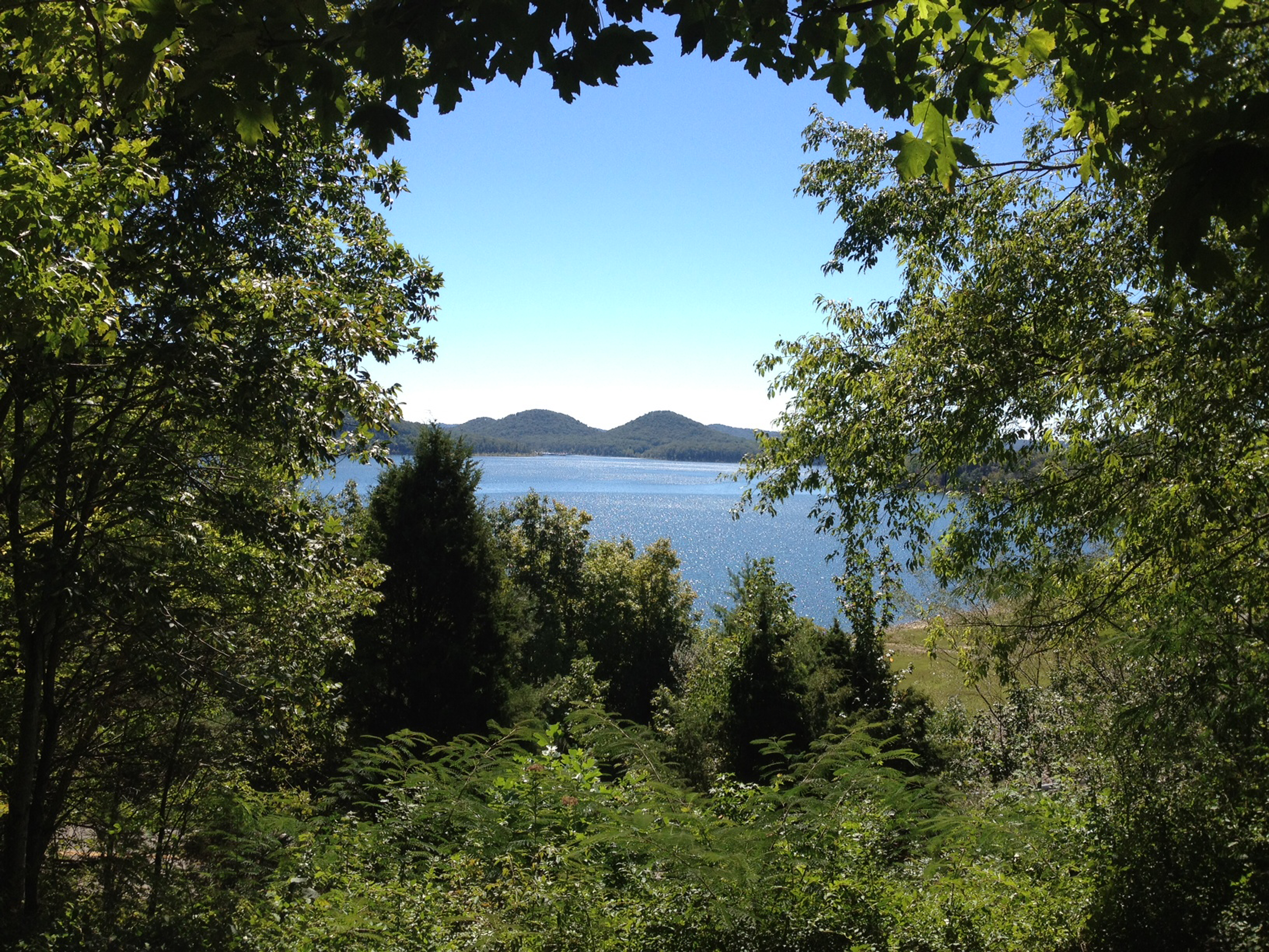
Cassidy Estate View
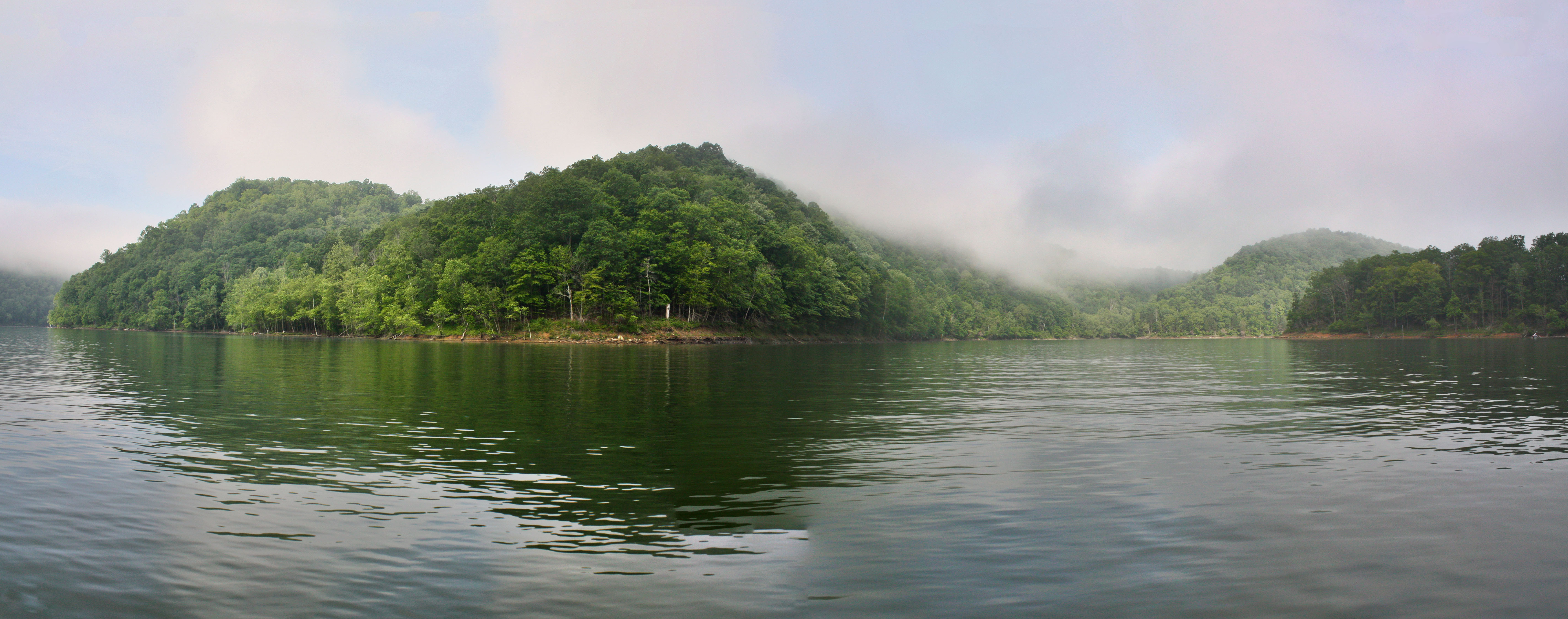
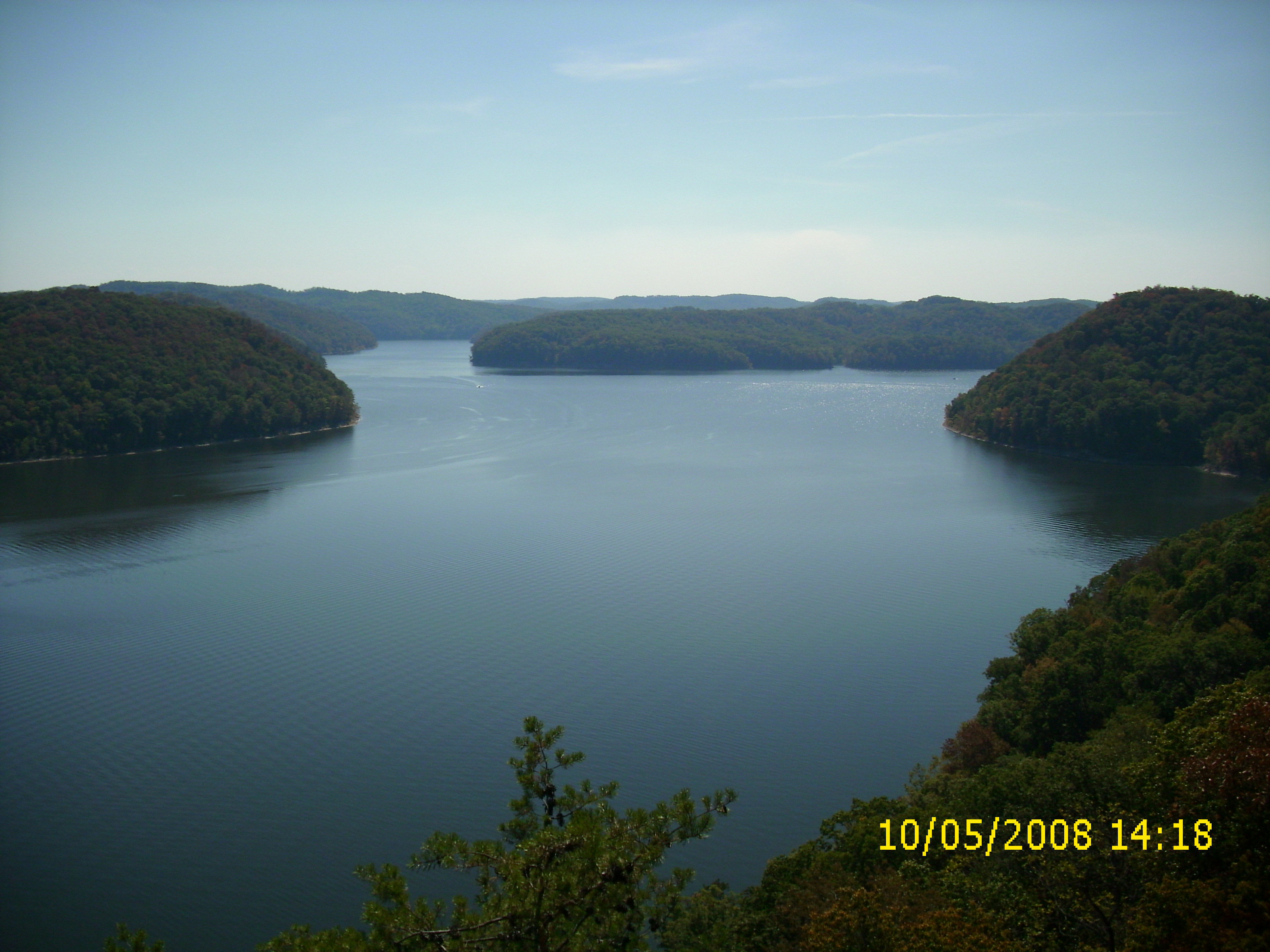
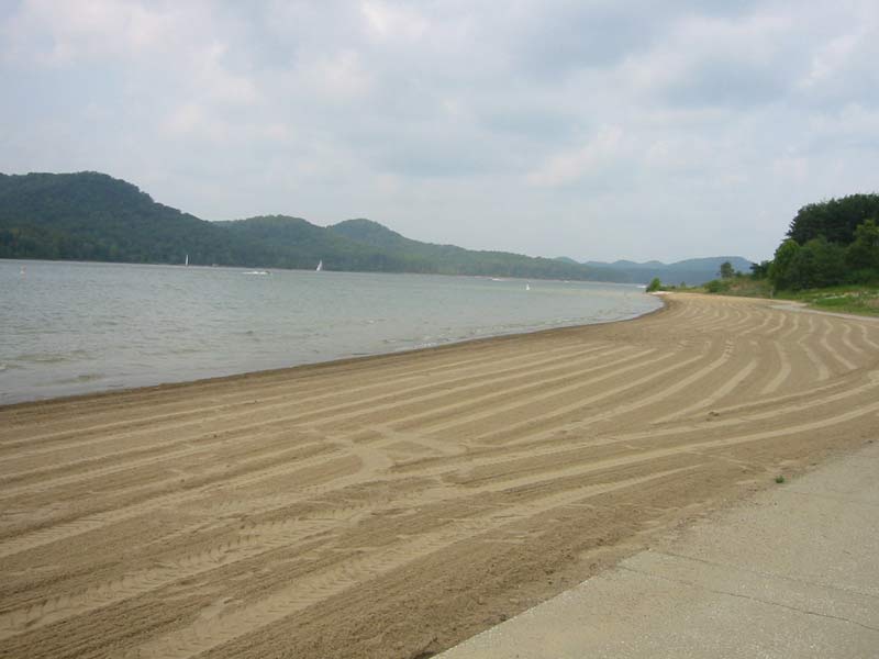
Another Panorama of the Lake
Cave Run Lake - Tater Knob Fire Tower
view of the lake from the tower

View from Look Out Rock

Trudged thru 24 miles ~12 was deep mud. Swim time!
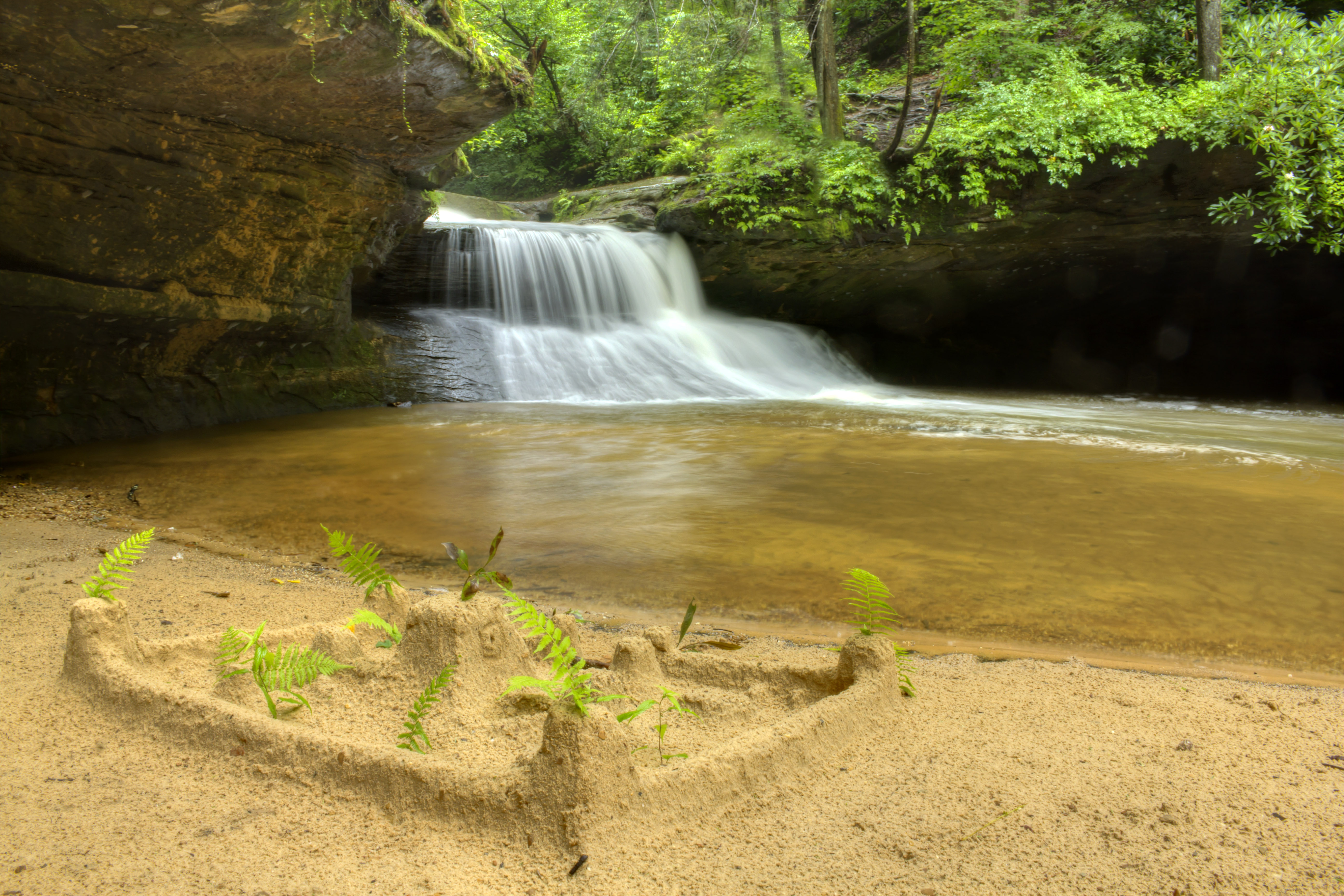
Creation Falls 3, Daniel Boone National Forest, Wolfe Co, KY
looking right

A bad day at the lake is better than any good day at work.

MVC-295F

Semi-palmated Sandpiper
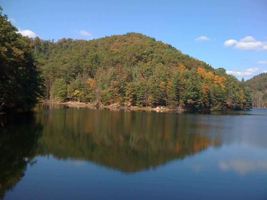
MSU Lake
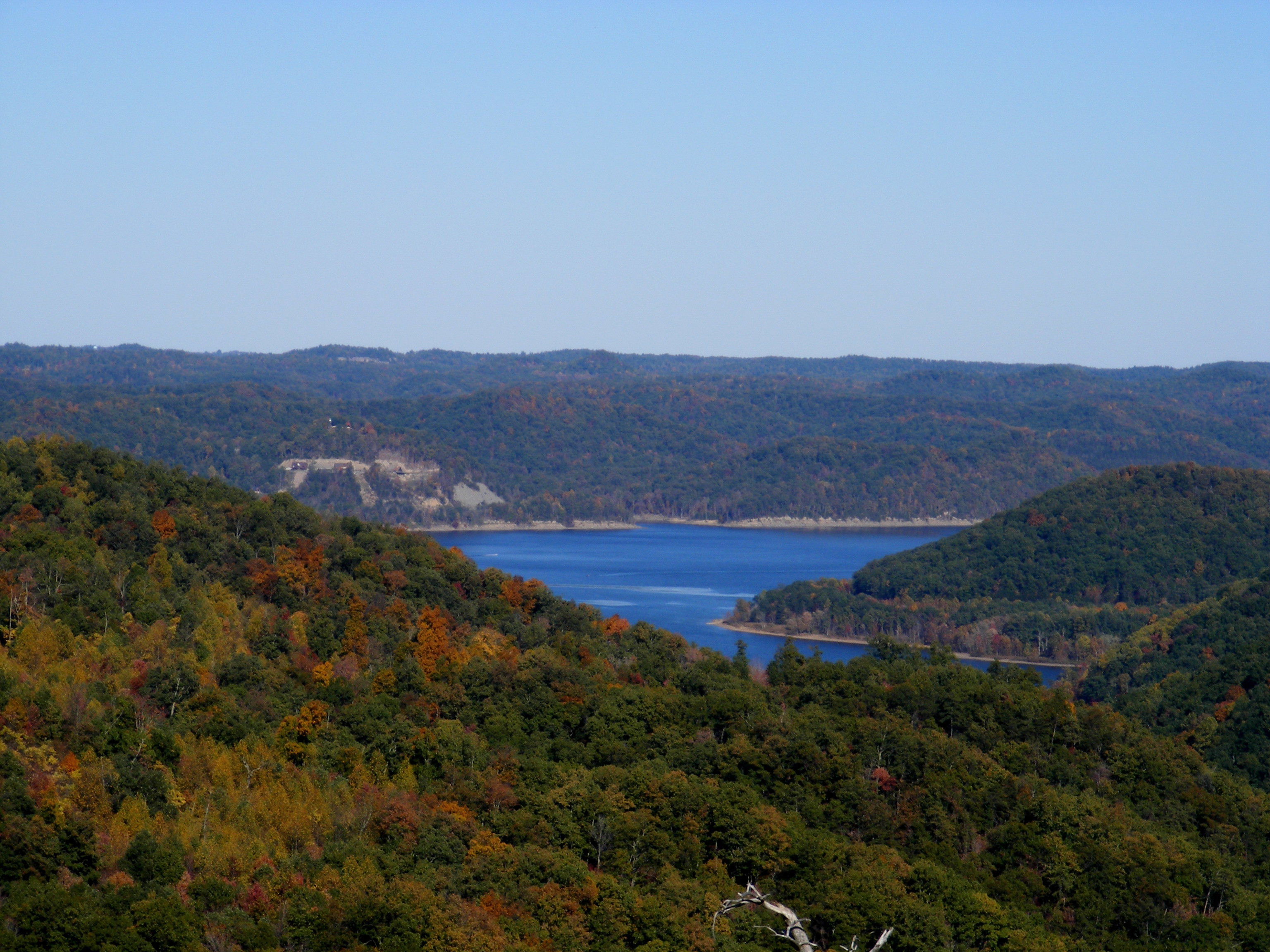
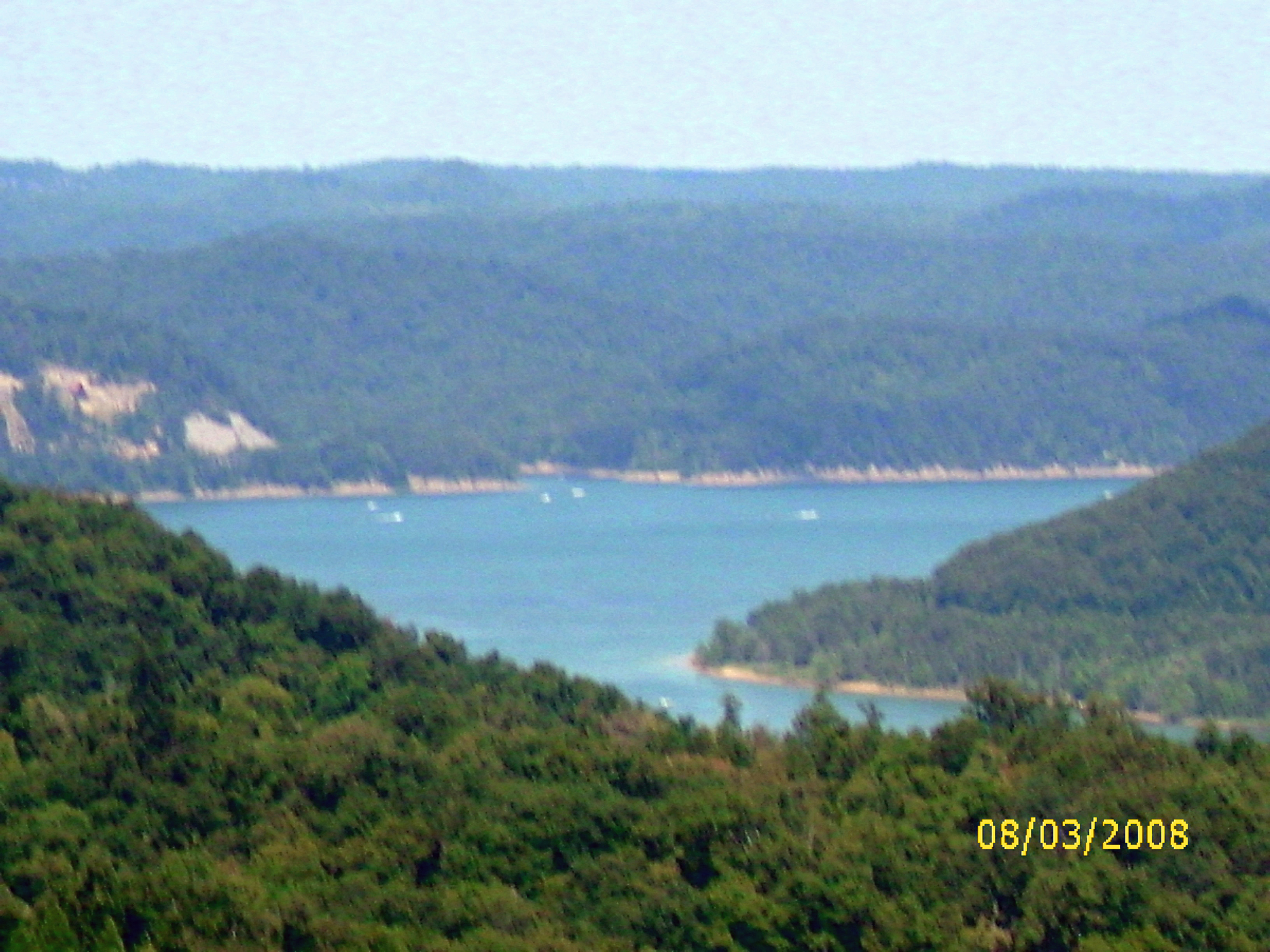
Cave Run Lake
110-1097_IMG

Mt. Lockegee Panorama
Topographic Map of Rowan County, KY, USA
Find elevation by address:

Places in Rowan County, KY, USA:
Places near Rowan County, KY, USA:
444 Forest Hills Dr
555 Viking Dr
555 Viking Dr
Morehead
Morehead State University
3980 Ky-32
Lakeview Heights
Freestone Rd, Morehead, KY, USA
E Main St, Morehead, KY, USA
64 Nolin Ct
10 Newcastle Ln
Shilo Drive
76 Limousine Ln
KY-, Hillsboro, KY, USA
Crain Creek Road
Lakeview Heights, KY, USA
Interstate 64
1366 Lower Rock Lick Rd
1260 Dry Branch Rd
1370 Dry Branch Rd
Recent Searches:
- Elevation of Corso Fratelli Cairoli, 35, Macerata MC, Italy
- Elevation of Tallevast Rd, Sarasota, FL, USA
- Elevation of 4th St E, Sonoma, CA, USA
- Elevation of Black Hollow Rd, Pennsdale, PA, USA
- Elevation of Oakland Ave, Williamsport, PA, USA
- Elevation of Pedrógão Grande, Portugal
- Elevation of Klee Dr, Martinsburg, WV, USA
- Elevation of Via Roma, Pieranica CR, Italy
- Elevation of Tavkvetili Mountain, Georgia
- Elevation of Hartfords Bluff Cir, Mt Pleasant, SC, USA