Elevation of 76 Limousine Ln, Morehead, KY, USA
Location: United States > Kentucky > Rowan County >
Longitude: -83.554065
Latitude: 38.2250115
Elevation: 304m / 997feet
Barometric Pressure: 98KPa
Elevation Map:
Satellite Map:
Related Photos:

Engine Engine # 9

I Said Go

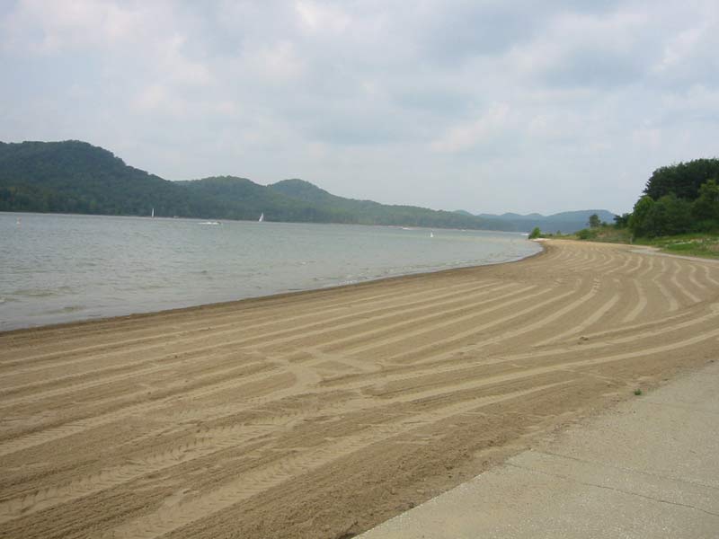
Cave Run Lake

Creation Falls 3, Daniel Boone National Forest, Wolfe Co, KY

Grange City Bridge 1

MVC-295F

Trudged thru 24 miles ~12 was deep mud. Swim time!

MSU Lake
110-1097_IMG

Mt. Lockegee Panorama

Mt. Lockegee, Clearfield, KY

Kodak 7240
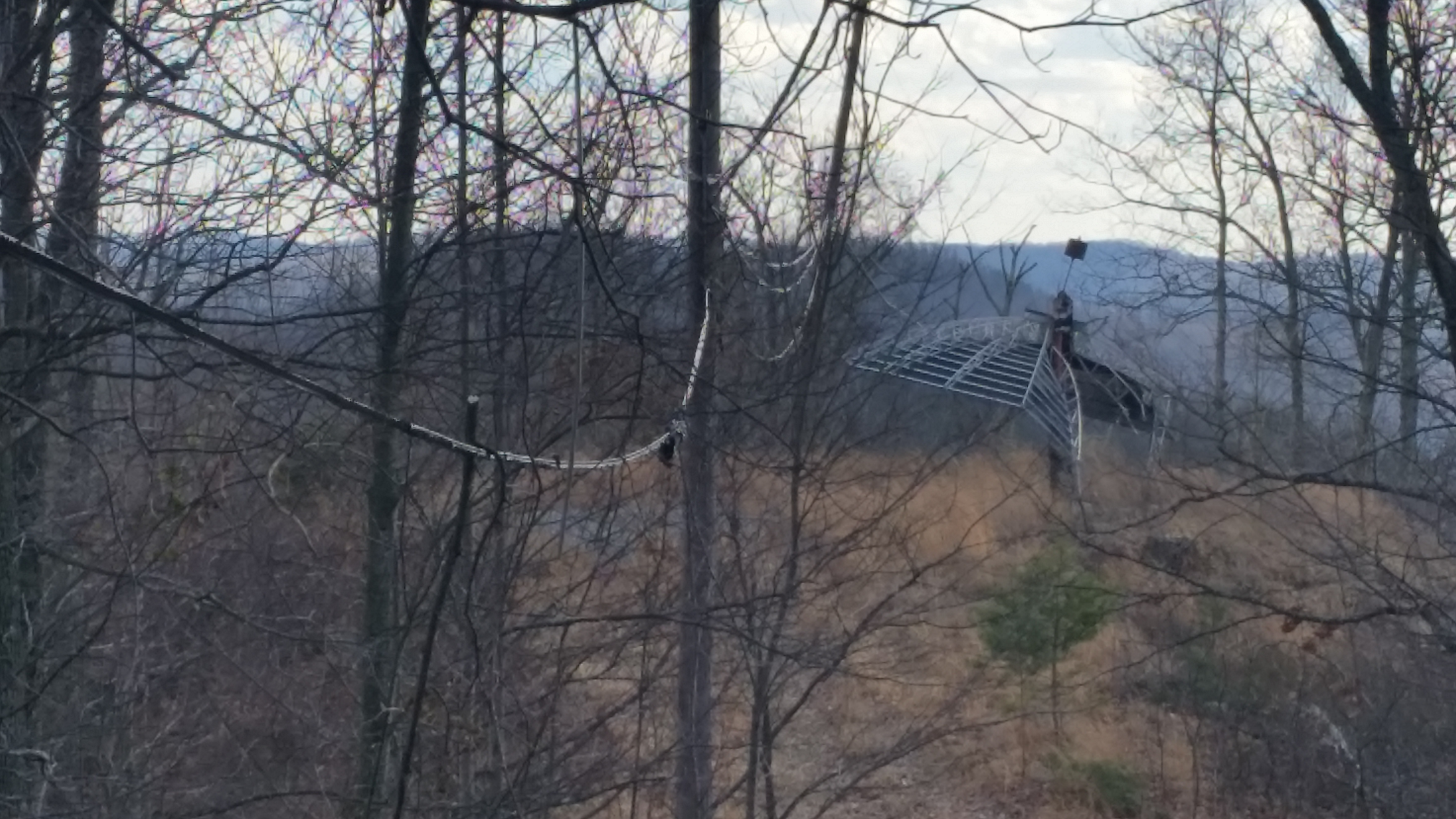
The decent into Morehead off the Sheltowee Trace Trail . This one would have my brakes literally smoking.

The decent into Morehead off the Sheltowee Trace Trail . This one would have my brakes literally smoking.
Topographic Map of 76 Limousine Ln, Morehead, KY, USA
Find elevation by address:

Places near 76 Limousine Ln, Morehead, KY, USA:
KY-, Hillsboro, KY, USA
10 Newcastle Ln
1366 Lower Rock Lick Rd
64 Nolin Ct
Crain Creek Road
3980 Ky-32
Shilo Drive
555 Viking Dr
555 Viking Dr
444 Forest Hills Dr
Freestone Rd, Morehead, KY, USA
Lakeview Heights
Interstate 64
Rowan County
2175 Johnson School Rd
Johnson School Road
Moores Ferry Rd, Salt Lick, KY, USA
Colfax Rd, Hillsboro, KY, USA
Hillsboro
KY-, Hillsboro, KY, USA
Recent Searches:
- Elevation of Corso Fratelli Cairoli, 35, Macerata MC, Italy
- Elevation of Tallevast Rd, Sarasota, FL, USA
- Elevation of 4th St E, Sonoma, CA, USA
- Elevation of Black Hollow Rd, Pennsdale, PA, USA
- Elevation of Oakland Ave, Williamsport, PA, USA
- Elevation of Pedrógão Grande, Portugal
- Elevation of Klee Dr, Martinsburg, WV, USA
- Elevation of Via Roma, Pieranica CR, Italy
- Elevation of Tavkvetili Mountain, Georgia
- Elevation of Hartfords Bluff Cir, Mt Pleasant, SC, USA