Elevation of Johnson School Rd, Hillsboro, KY, USA
Location: United States > Kentucky > Fleming County > Hillsboro >
Longitude: -83.6548298
Latitude: 38.2107695
Elevation: 249m / 817feet
Barometric Pressure: 0KPa
Related Photos:

20110715-RD-LSC-0521
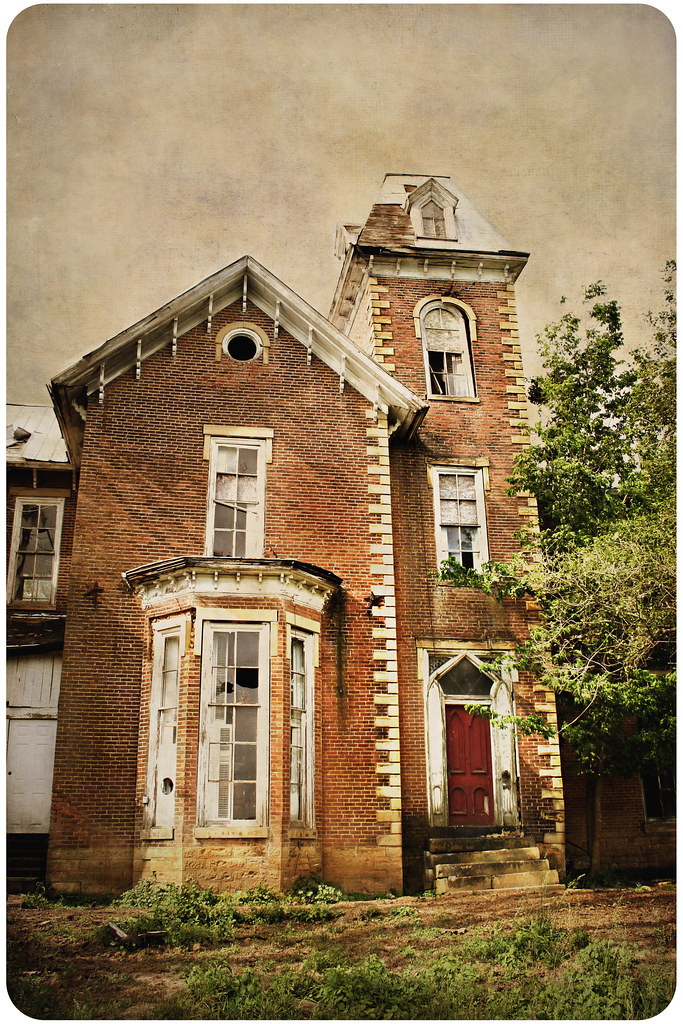
House of Cards
20110715-RD-LSC-0323
20110715-RD-LSC-0389

20110715-RD-LSC-0001
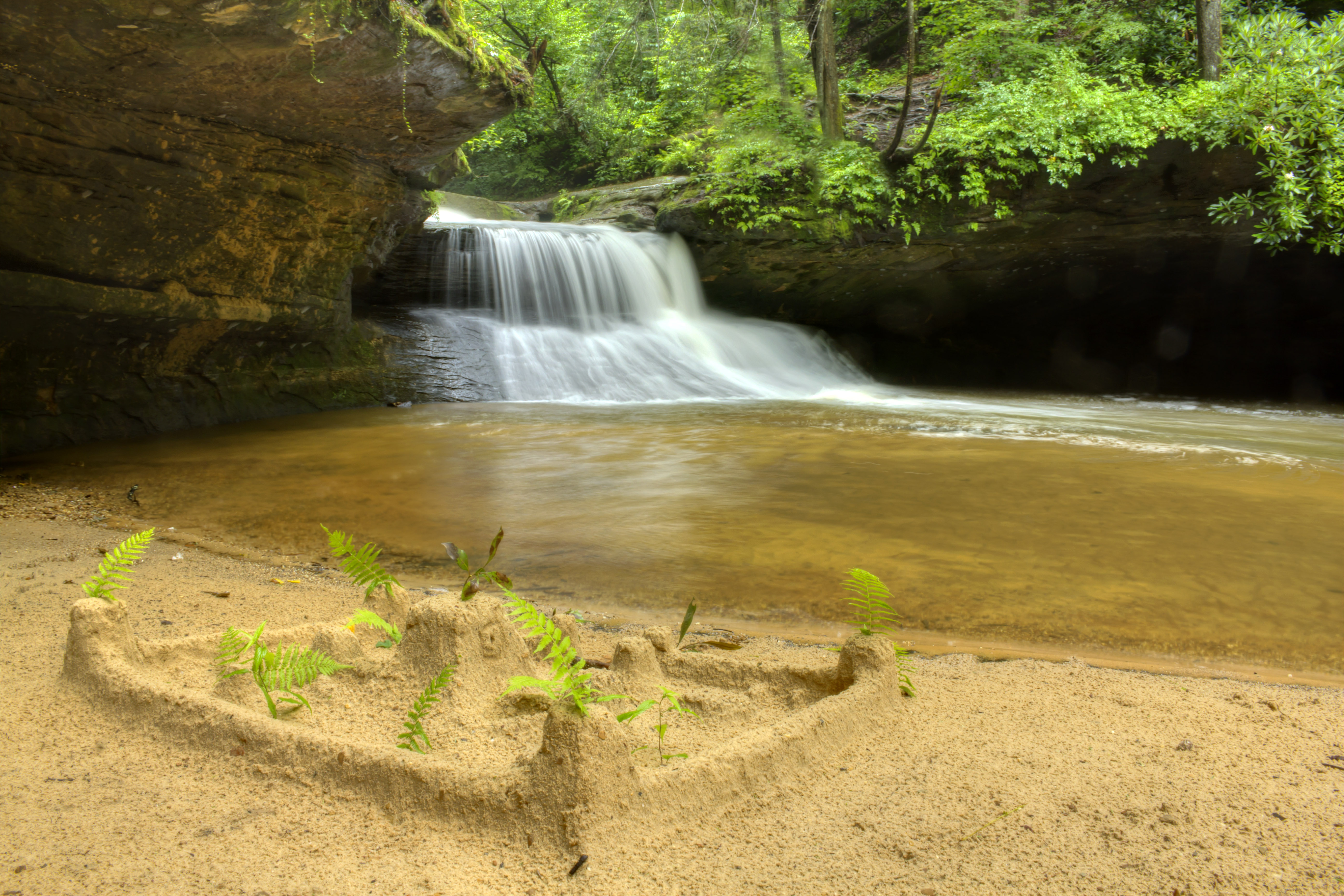
Creation Falls 3, Daniel Boone National Forest, Wolfe Co, KY
Fallin for You

One Dead, One Living

Grange City Bridge 1

Trudged thru 24 miles ~12 was deep mud. Swim time!
Cave Run Lake
Kodak 7240
There is a crook in my path
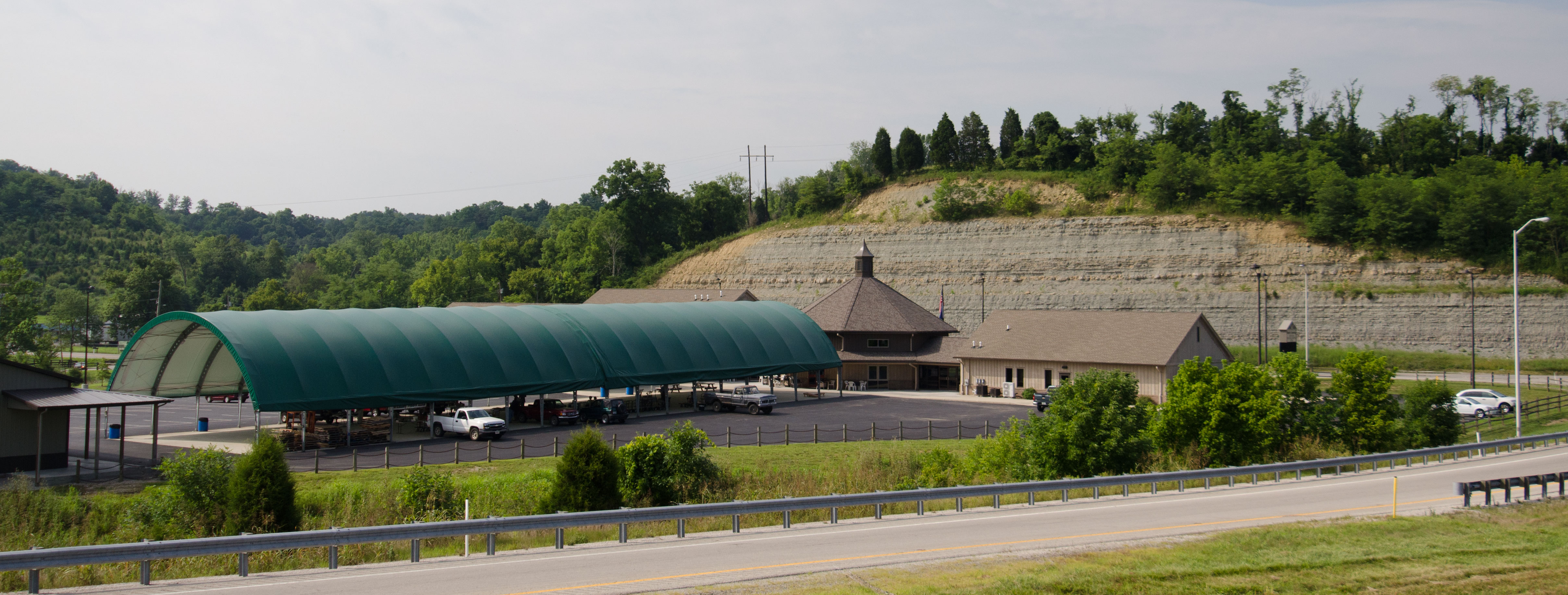
Mulch Plant

Semi-palmated Sandpiper

Morning of Independence
Topographic Map of Johnson School Rd, Hillsboro, KY, USA
Find elevation by address:

Places near Johnson School Rd, Hillsboro, KY, USA:
Johnson School Road
Colfax Rd, Hillsboro, KY, USA
1366 Lower Rock Lick Rd
Moores Ferry Rd, Salt Lick, KY, USA
Interstate 64
KY-, Hillsboro, KY, USA
Hillsboro
KY-, Hillsboro, KY, USA
76 Limousine Ln
10 Newcastle Ln
Crain Creek Road
Freestone Rd, Morehead, KY, USA
64 Nolin Ct
Lakeview Heights
3980 Ky-32
Shilo Drive
444 Forest Hills Dr
555 Viking Dr
555 Viking Dr
Rowan County
Recent Searches:
- Elevation map of Greenland, Greenland
- Elevation of Sullivan Hill, New York, New York, 10002, USA
- Elevation of Morehead Road, Withrow Downs, Charlotte, Mecklenburg County, North Carolina, 28262, USA
- Elevation of 2800, Morehead Road, Withrow Downs, Charlotte, Mecklenburg County, North Carolina, 28262, USA
- Elevation of Yangbi Yi Autonomous County, Yunnan, China
- Elevation of Pingpo, Yangbi Yi Autonomous County, Yunnan, China
- Elevation of Mount Malong, Pingpo, Yangbi Yi Autonomous County, Yunnan, China
- Elevation map of Yongping County, Yunnan, China
- Elevation of North 8th Street, Palatka, Putnam County, Florida, 32177, USA
- Elevation of 107, Big Apple Road, East Palatka, Putnam County, Florida, 32131, USA
- Elevation of Jiezi, Chongzhou City, Sichuan, China
- Elevation of Chongzhou City, Sichuan, China
- Elevation of Huaiyuan, Chongzhou City, Sichuan, China
- Elevation of Qingxia, Chengdu, Sichuan, China
- Elevation of Corso Fratelli Cairoli, 35, Macerata MC, Italy
- Elevation of Tallevast Rd, Sarasota, FL, USA
- Elevation of 4th St E, Sonoma, CA, USA
- Elevation of Black Hollow Rd, Pennsdale, PA, USA
- Elevation of Oakland Ave, Williamsport, PA, USA
- Elevation of Pedrógão Grande, Portugal