Elevation of Lakeland, LA, USA
Location: United States > Louisiana > Pointe Coupee Parish >
Longitude: -91.397333
Latitude: 30.6007442
Elevation: 9m / 30feet
Barometric Pressure: 0KPa
Related Photos:

dark view

Union Tank Car Geodesic Dome Interior 2
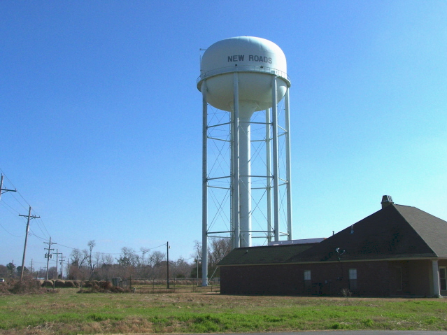
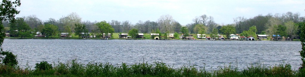
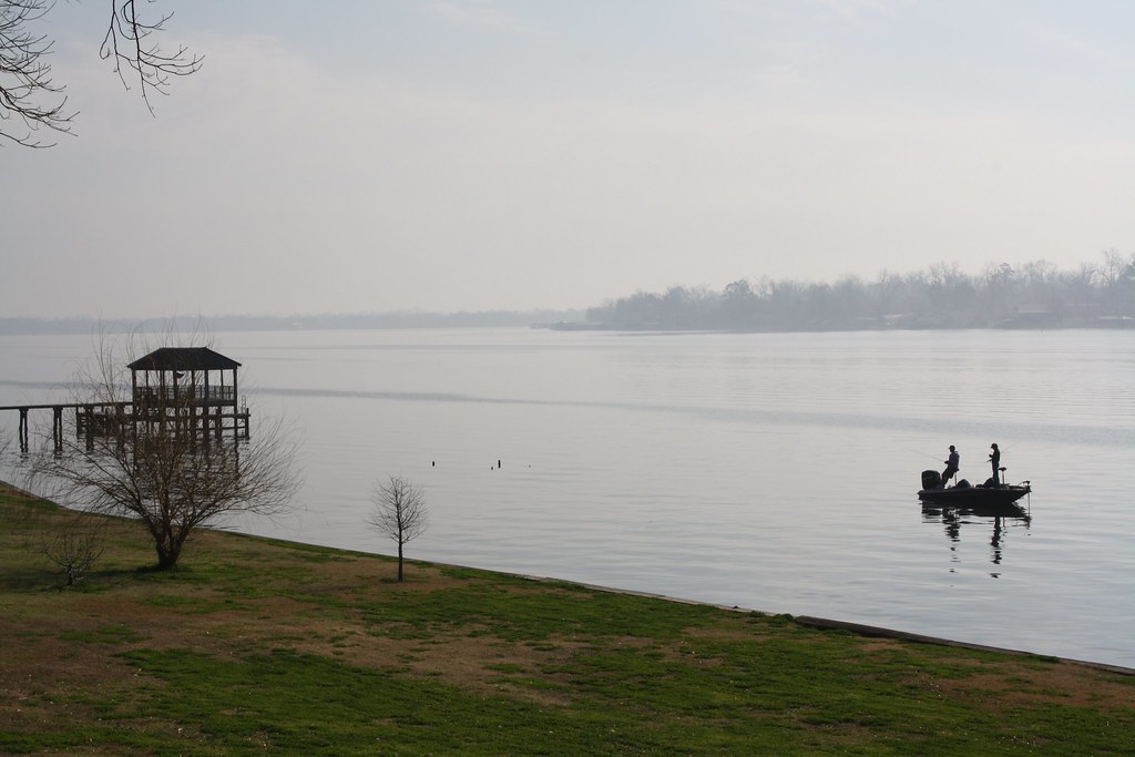
Pointe Coupee 04
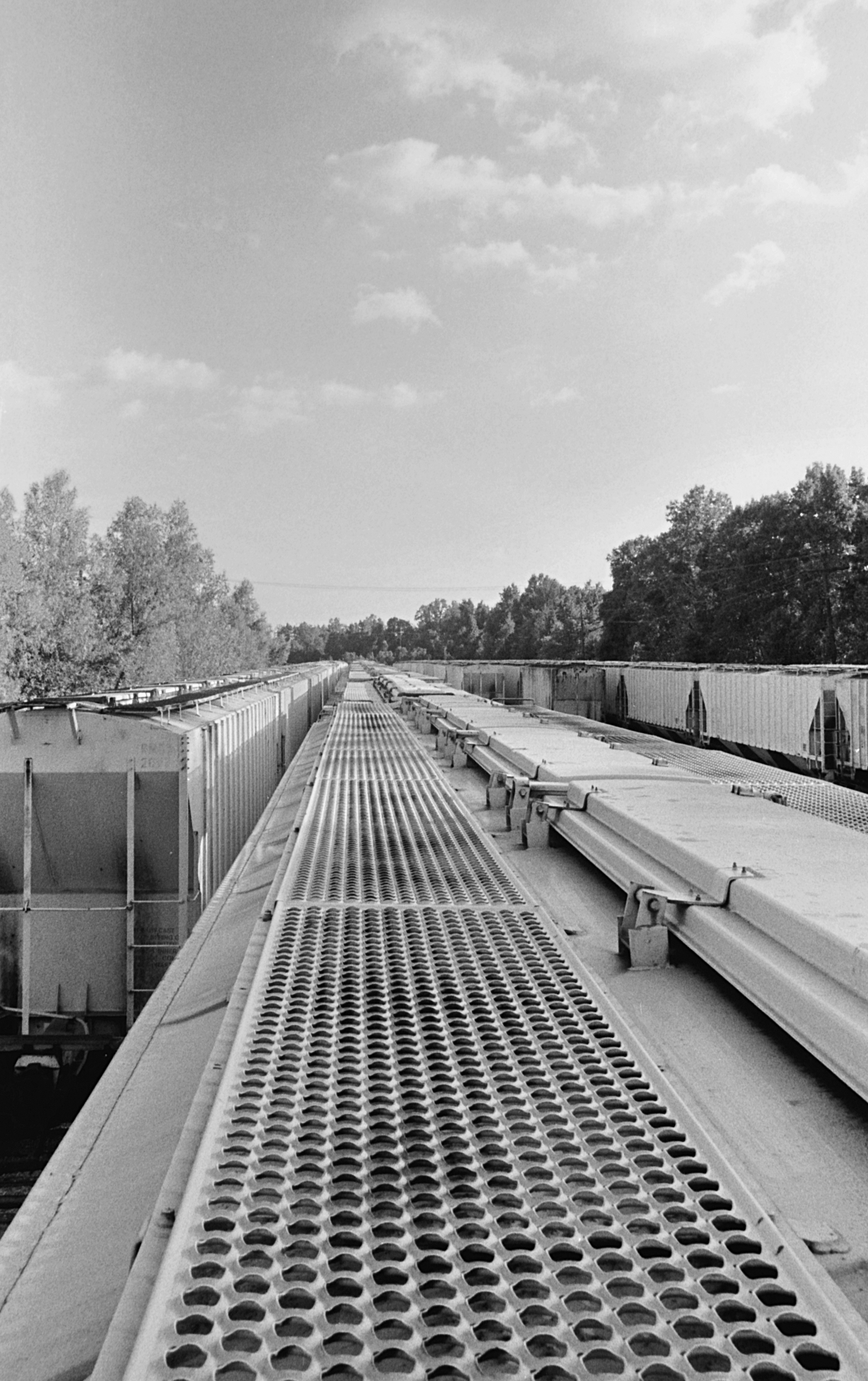
Riding the Stationary Rails

it was waiting for me...

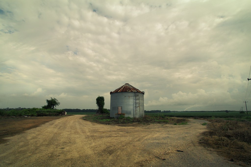
DECEMBER FIELD

Can you see the #rainbow?? #outside #cloudy #sky #green #trees #louisiana
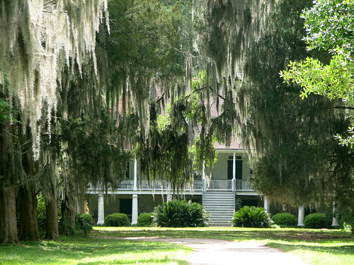
Parlange 1
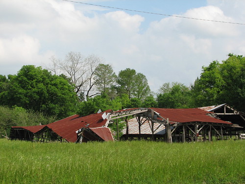
Oh, Barn
False River
along the River Road

0552-Port Hudson Area
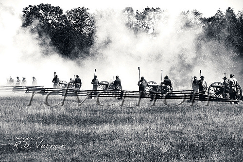
Confederate Artillery
lean-flight-11-19-2015-8524
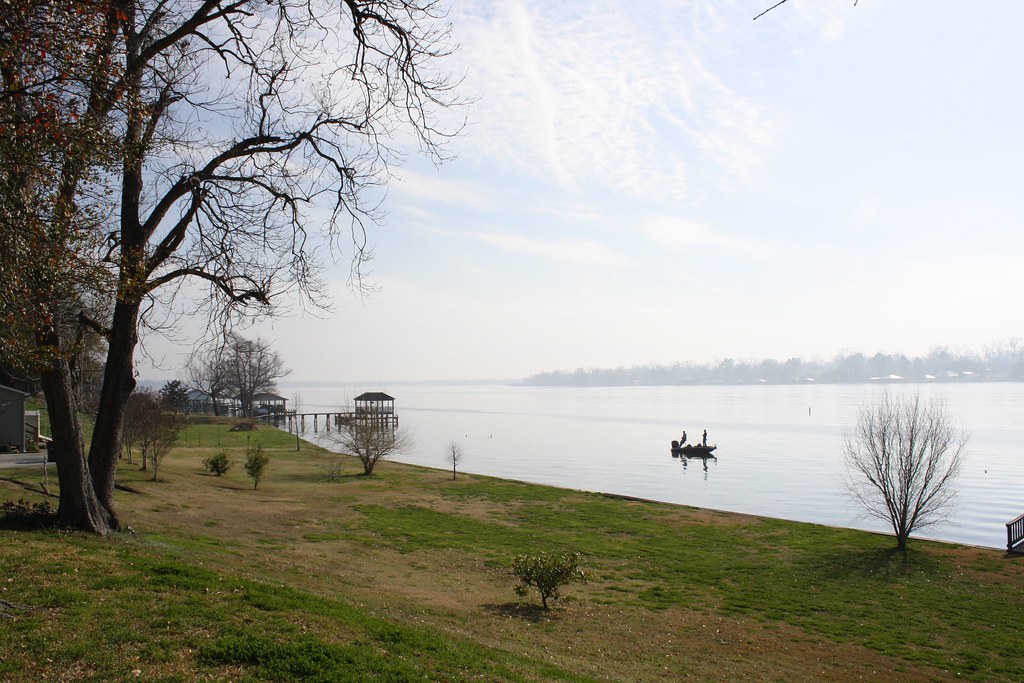
Fishing 1

cane's cane
Fishing 3

still standing

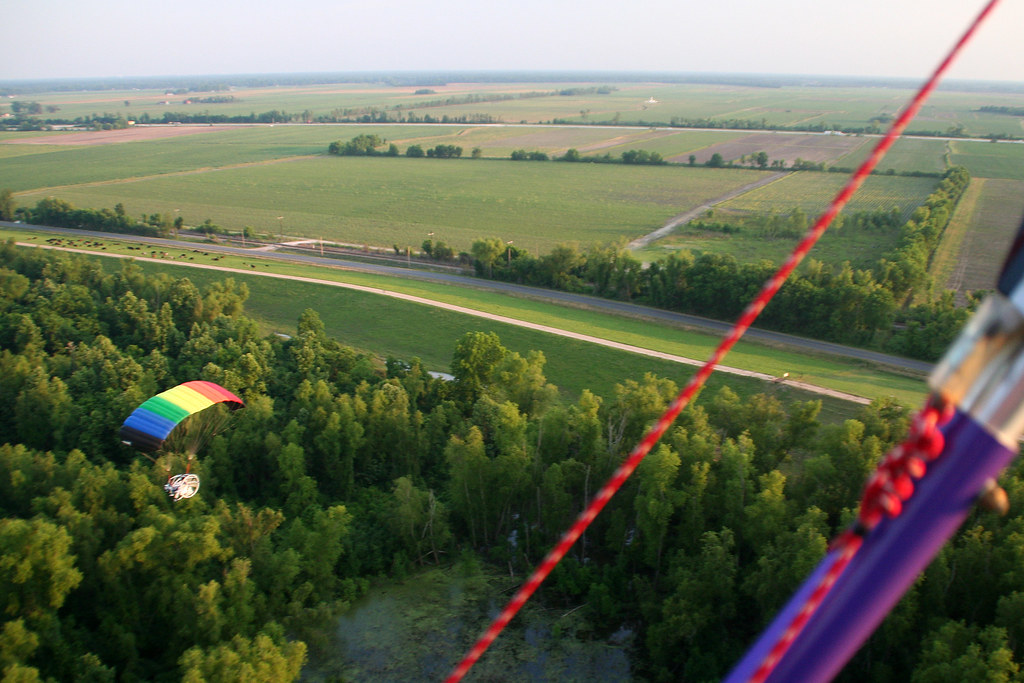
050907_poweredParachute_33.JPG
Outside the Fences
050907_poweredParachute_21.JPG
W. Irene Impoundments
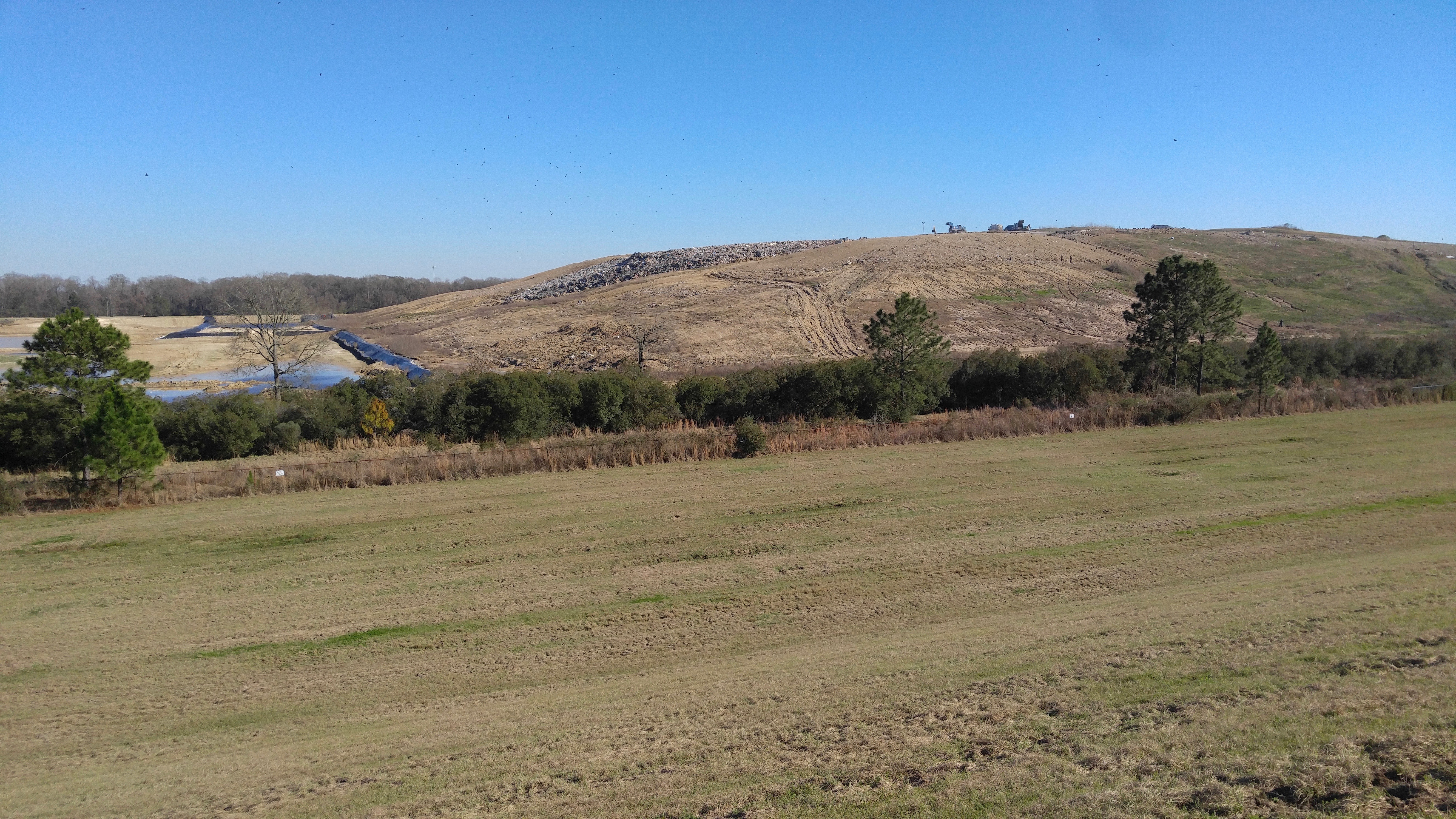
W. Irene Rd. impoundments

W. Irene Impoundments
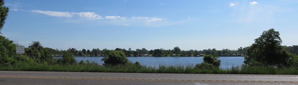
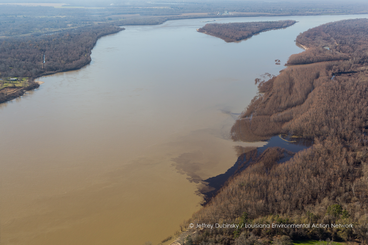
False River (Pointe Coupée Parish, Louisiana)
Topographic Map of Lakeland, LA, USA
Find elevation by address:

Places in Lakeland, LA, USA:
Places near Lakeland, LA, USA:
4, LA, USA
LA-, Glynn, LA, USA
Glynn
LA-, Erwinville, LA, USA
LA-, Jarreau, LA, USA
Port Hickey Rd, Zachary, LA, USA
W Port Hudson Plains Rd, Zachary, LA, USA
Samuels Rd, Zachary, LA, USA
7, LA, USA
Plains View Drive
231 Treakle Dr
221 Treakle Dr
22975 Elberta Ln
Treakle Lane
Plainsland Drive
25432 Renee Ct
25432 Renee Ct
25433 Renee Ct
23122 Elberta Ln
23142 Elberta Ln
Recent Searches:
- Elevation of Pasing, Munich, Bavaria, 81241, Germany
- Elevation of 24, Auburn Bay Crescent SE, Auburn Bay, Calgary, Alberta, T3M 0A6, Canada
- Elevation of Denver, 2314, Arapahoe Street, Five Points, Denver, Colorado, 80205, USA
- Elevation of Community of the Beatitudes, 2924, West 43rd Avenue, Sunnyside, Denver, Colorado, 80211, USA
- Elevation map of Litang County, Sichuan, China
- Elevation map of Madoi County, Qinghai, China
- Elevation of 3314, Ohio State Route 114, Payne, Paulding County, Ohio, 45880, USA
- Elevation of Sarahills Drive, Saratoga, Santa Clara County, California, 95070, USA
- Elevation of Town of Bombay, Franklin County, New York, USA
- Elevation of 9, Convent Lane, Center Moriches, Suffolk County, New York, 11934, USA
- Elevation of Saint Angelas Convent, 9, Convent Lane, Center Moriches, Suffolk County, New York, 11934, USA
- Elevation of 131st Street Southwest, Mukilteo, Snohomish County, Washington, 98275, USA
- Elevation of 304, Harrison Road, Naples, Cumberland County, Maine, 04055, USA
- Elevation of 2362, Timber Ridge Road, Harrisburg, Cabarrus County, North Carolina, 28075, USA
- Elevation of Ridge Road, Marshalltown, Marshall County, Iowa, 50158, USA
- Elevation of 2459, Misty Shadows Drive, Pigeon Forge, Sevier County, Tennessee, 37862, USA
- Elevation of 8043, Brightwater Way, Spring Hill, Williamson County, Tennessee, 37179, USA
- Elevation of Starkweather Road, San Luis, Costilla County, Colorado, 81152, USA
- Elevation of 5277, Woodside Drive, Baton Rouge, East Baton Rouge Parish, Louisiana, 70808, USA
- Elevation of 1139, Curtin Street, Shepherd Park Plaza, Houston, Harris County, Texas, 77018, USA