Elevation of 4, LA, USA
Location: United States > Louisiana > Pointe Coupee Parish >
Longitude: -91.375864
Latitude: 30.6012437
Elevation: 10m / 33feet
Barometric Pressure: 101KPa
Elevation Map:
Satellite Map:
Related Photos:
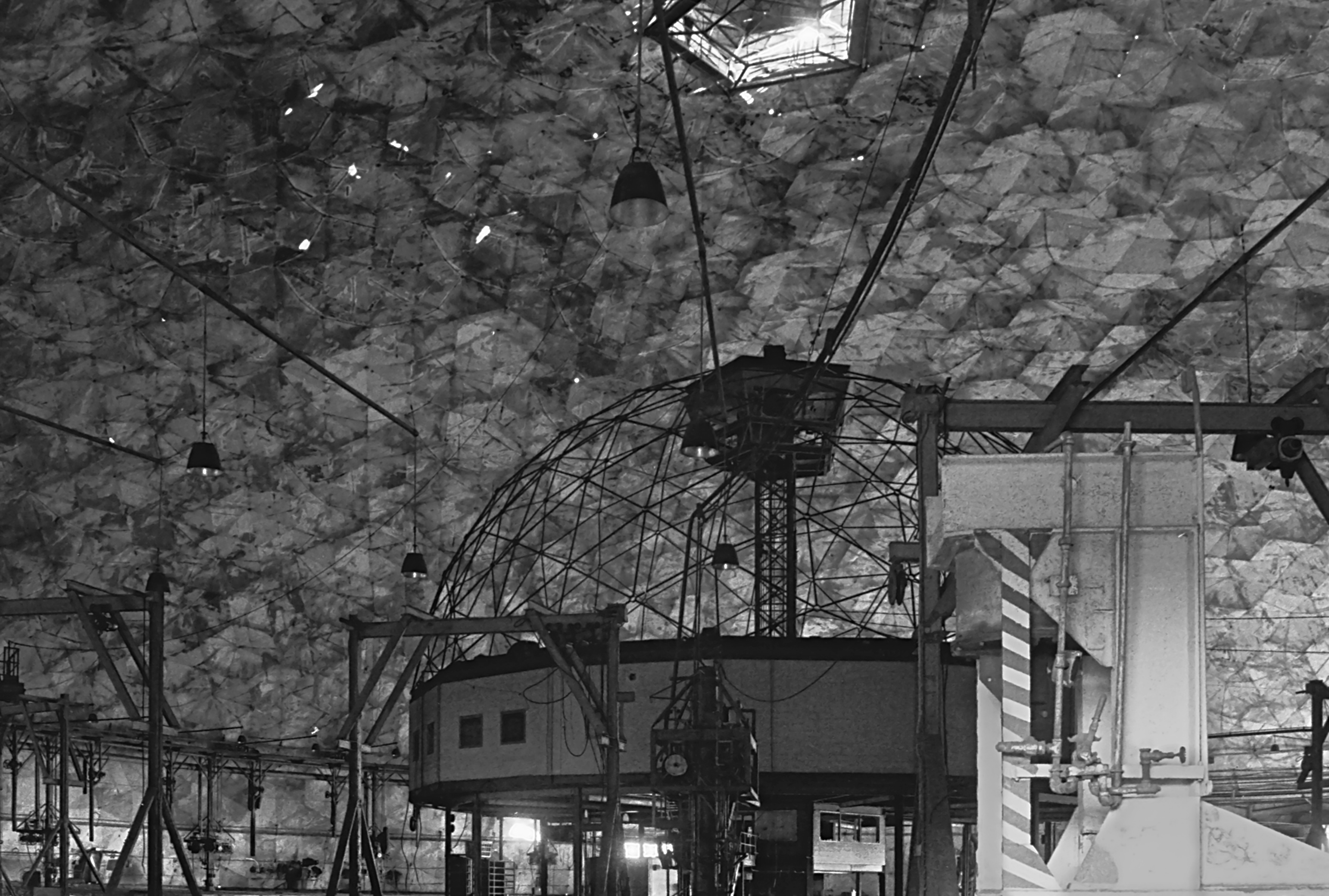
Union Tank Car Geodesic Dome Interior 2

dark view
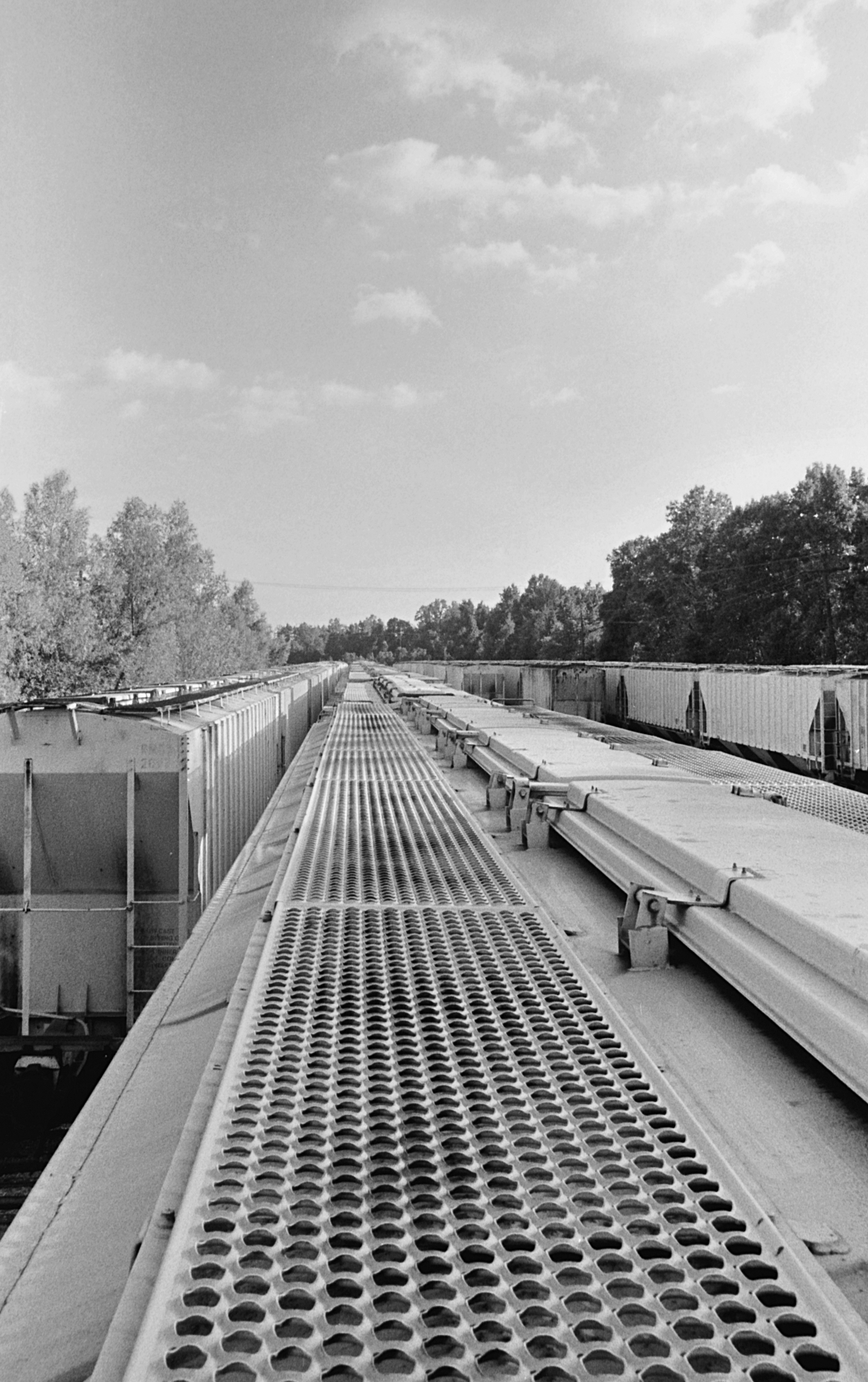
Riding the Stationary Rails
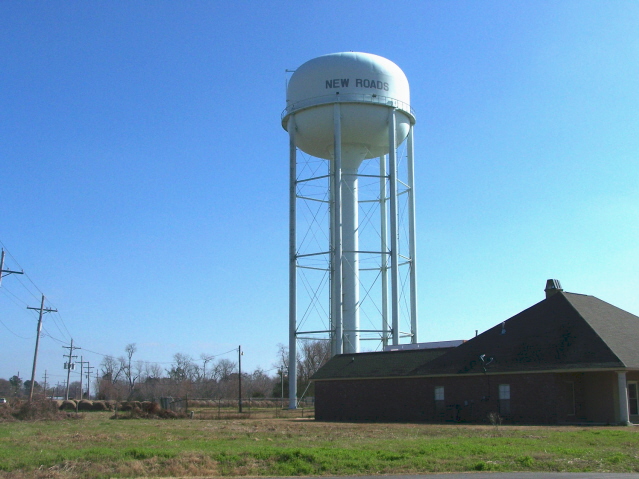
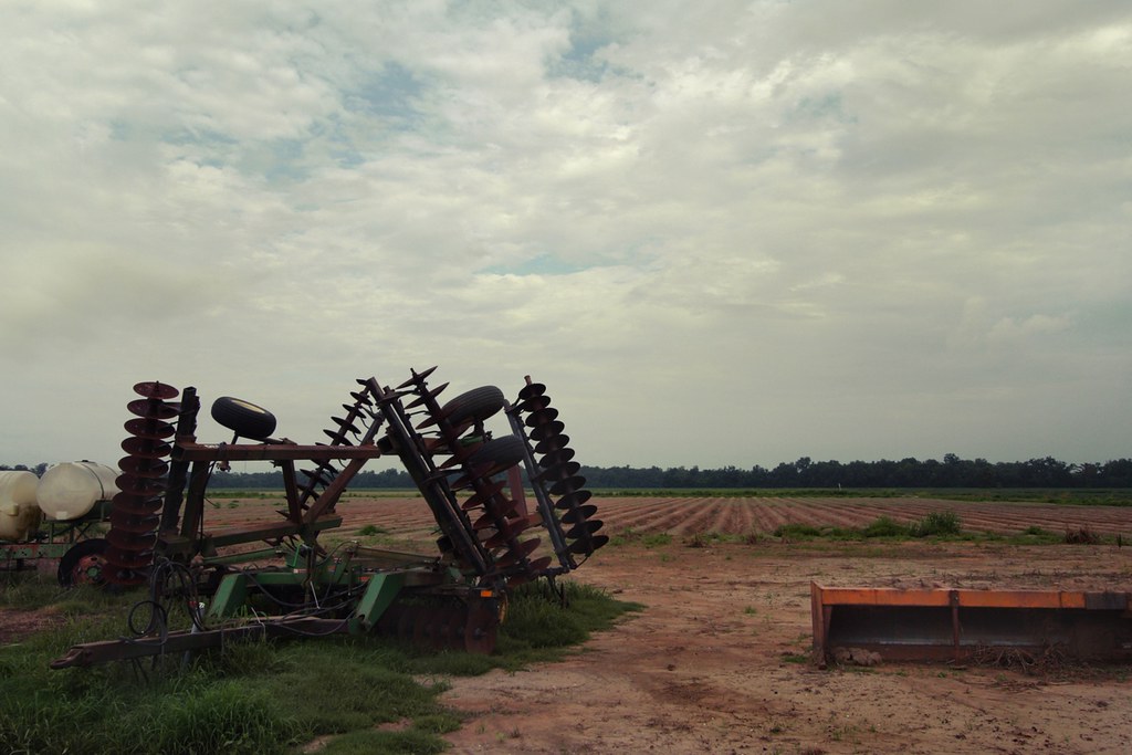
Pointe Coupee 04

it was waiting for me...

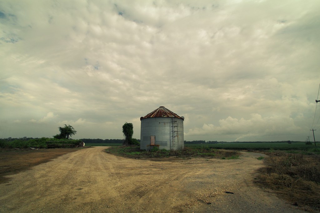
DECEMBER FIELD

Can you see the #rainbow?? #outside #cloudy #sky #green #trees #louisiana
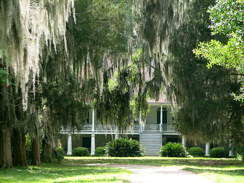
Parlange 1

fading history
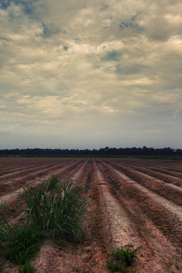
resting the fields

another sunset
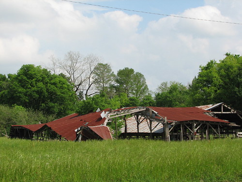
Oh, Barn
along the River Road
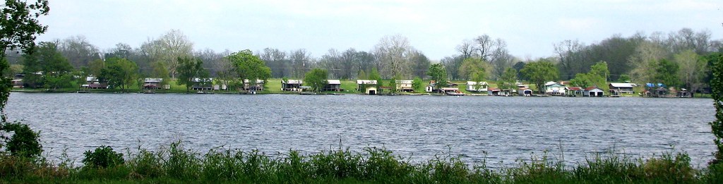
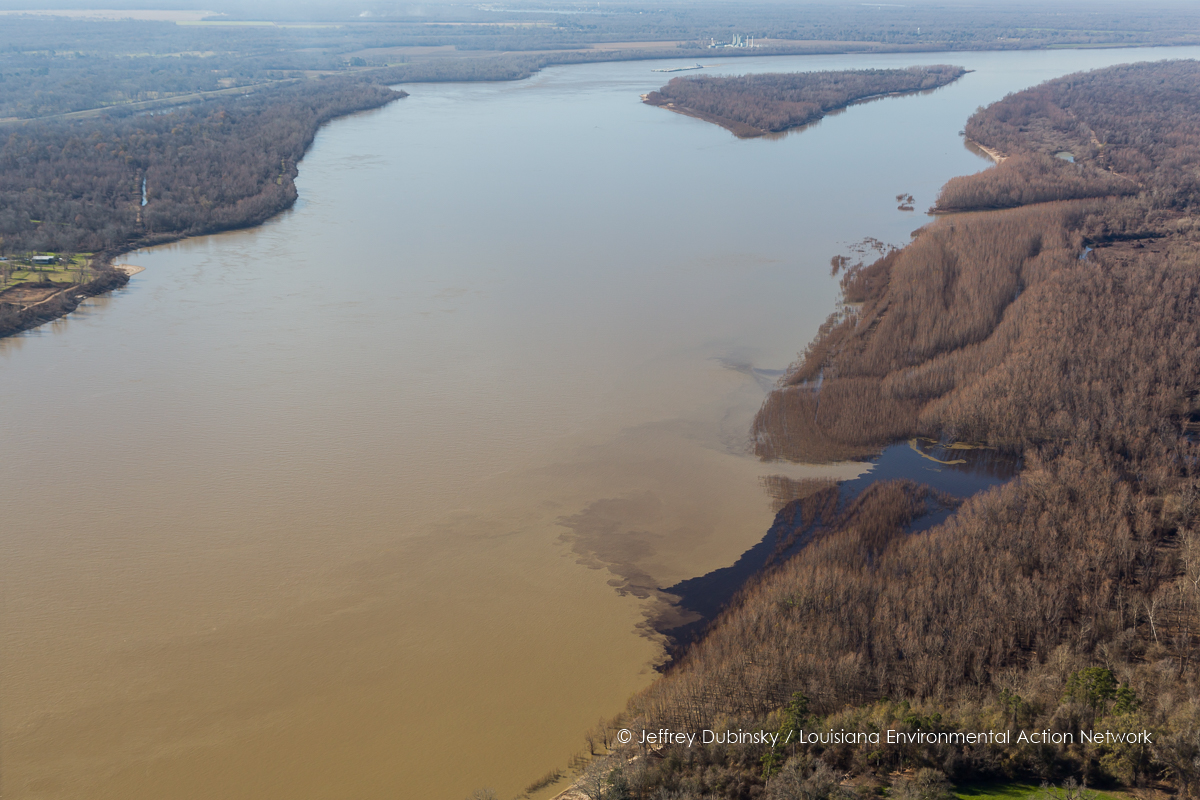
False River

0552-Port Hudson Area

Confederate Artillery
Louisiana sugarcane field
Port Hudson Woods, Louisiana.

lean-flight-11-19-2015-8487
lean-flight-11-19-2015-8524
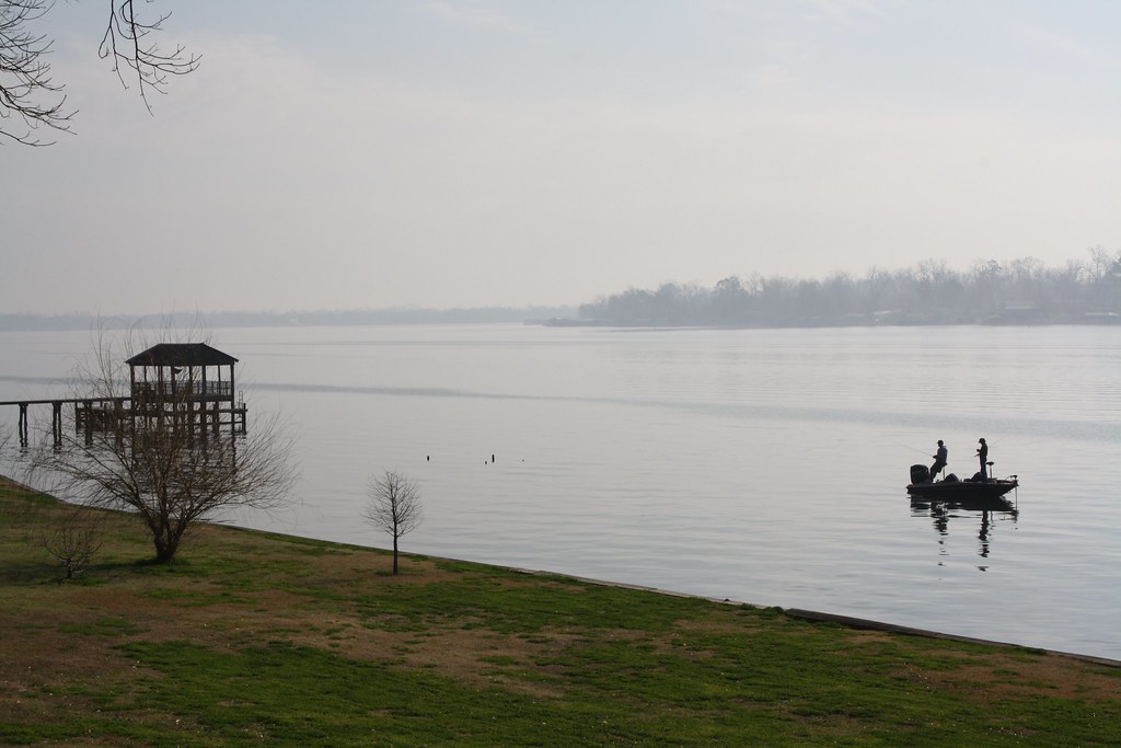
Fishing 1

cane's cane
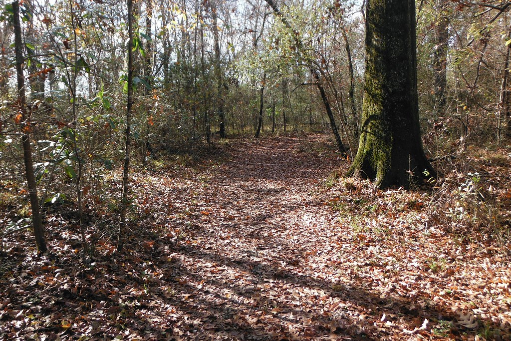
The Trail at Port Hudson, La.
Fishing 3

still standing
Topographic Map of 4, LA, USA
Find elevation by address:

Places in 4, LA, USA:
Places near 4, LA, USA:
Lakeland
LA-, Glynn, LA, USA
Glynn
LA-, Erwinville, LA, USA
LA-, Jarreau, LA, USA
Port Hickey Rd, Zachary, LA, USA
W Port Hudson Plains Rd, Zachary, LA, USA
Samuels Rd, Zachary, LA, USA
Plains View Drive
22975 Elberta Ln
231 Treakle Dr
221 Treakle Dr
Plainsland Drive
Treakle Lane
23122 Elberta Ln
23142 Elberta Ln
25432 Renee Ct
25432 Renee Ct
25433 Renee Ct
618 Plains-port Hudson Rd
Recent Searches:
- Elevation of Corso Fratelli Cairoli, 35, Macerata MC, Italy
- Elevation of Tallevast Rd, Sarasota, FL, USA
- Elevation of 4th St E, Sonoma, CA, USA
- Elevation of Black Hollow Rd, Pennsdale, PA, USA
- Elevation of Oakland Ave, Williamsport, PA, USA
- Elevation of Pedrógão Grande, Portugal
- Elevation of Klee Dr, Martinsburg, WV, USA
- Elevation of Via Roma, Pieranica CR, Italy
- Elevation of Tavkvetili Mountain, Georgia
- Elevation of Hartfords Bluff Cir, Mt Pleasant, SC, USA