Elevation of Glynn, LA, USA

Location: United States > Louisiana > Pointe Coupee Parish > >

Longitude: -91.355388

Latitude: 30.6265763

Elevation: 11m / 36feet

Barometric Pressure: 101KPa

Elevation Map:

elevation map of Glynn, LA, USA

Satellite Map:

Satellite map of Glynn, LA, USA

Related Photos:

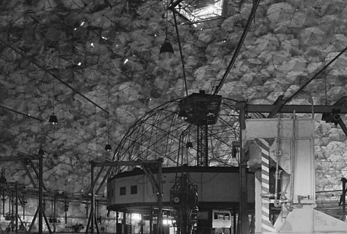
blackandwhite bw abandoned film train tmax interior batonrouge rails demolished geodesicdome rbuckminsterfuller razed buckydome derelictbuilding kansascitysouthernrailway synergetics oldandbeautiful uniontankcarmaintenancefacility tchoward
Union Tank Car Geodesic Dome Interior 2
plant texture lowlight topaz
dark view
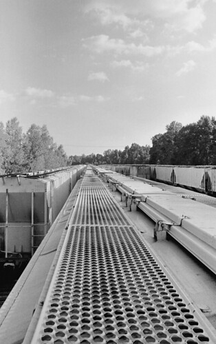
blackandwhite bw abandoned film train exterior tmax tracks batonrouge rails demolished rbuckminsterfuller razed kansascitysouthernrailway synergetics uniontankcarmaintenancefacility tchoward
Riding the Stationary Rails
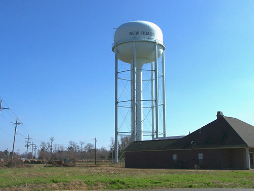
tower water loisiana newroads pointecoupee
Pointe Coupee 04
house abandoned rural landscape louisiana decay batonrouge baretrees ruraldecay 80mm mrgreenjeans gaylon canonef28135mmf3556isusm gaylonkeeling
it was waiting for me...
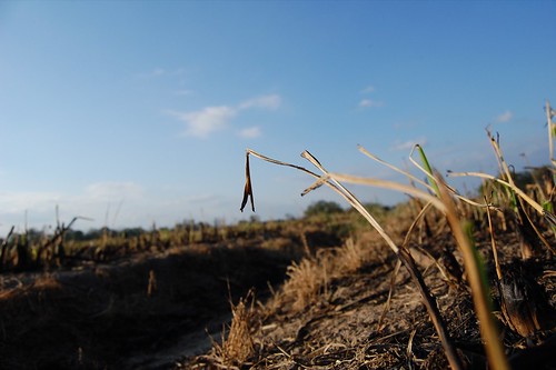
sunset field louisiana fields lakeland sugarcane decemeber
DECEMBER FIELD
square squareformat iphoneography instagramapp uploaded:by=instagram foursquare:venue=4d5d0f6f9895b1f77cc1eb0f
Can you see the #rainbow?? #outside #cloudy #sky #green #trees #louisiana
new house building home public buildings louisiana top plantation pointe 100 roads top100 2008 antebellum favorited tjean314 johnhanley coupee newroads parlange pointcoupee allphotoscopy20052015johnhanleyallrightsreservedcontactforpermissiontouse allphotoscopy20052016johnhanleyallrightsreservedcontactforpermissiontouse
Parlange 1
summer lines clouds rural landscape crossprocessed louisiana farming thesouth agriculture canonefs1022mmf3545usm 22mm mrgreenjeans gaylon sugarcanefield gaylonkeeling
resting the fields
another sunset
building abandoned public field grass barn louisiana pointe 2008 collapsed tjean314 johnhanley coupee pointcoupee allphotoscopy20052015johnhanleyallrightsreservedcontactforpermissiontouse allphotoscopy20052016johnhanleyallrightsreservedcontactforpermissiontouse
Oh, Barn
sky field clouds rural landscape crossprocessed louisiana farm silo thesouth agriculture 10mm canonefs1022mmf3545usm mrgreenjeans gaylon sugarcanefield storagebin gaylonkeeling
along the River Road
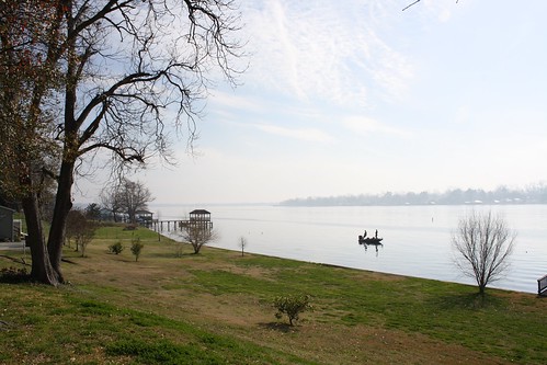
lake public water river louisiana pointe 2008 false oxbow tjean314 johnhanley coupee pointecoupee allphotoscopy20052015johnhanleyallrightsreservedcontactforpermissiontouse allphotoscopy20052016johnhanleyallrightsreservedcontactforpermissiontouse
False River
battlefields vicksburgcampaign vicksburgtrip
0552-Port Hudson Area
ferry louisiana mississippiriver canon5d saintfrancisville canonef28mmf18 bigcajunnd1000
Forty Three
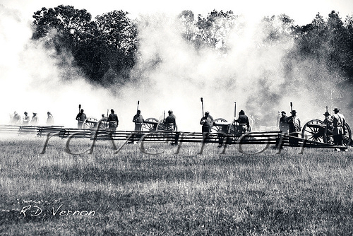
louisiana smoke battle confederate artillery reenactment cannons discharge porthudson eastfelicianaparish
Confederate Artillery
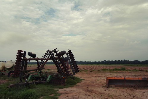
summer field rural louisiana south horticulture sugarcane 18mm farmmachinery canonefs1022mmf3545usm mrgreenjeans gaylon canefield discharrow gaylonkeeling graderbox fieldlandscapecloudsthe
Louisiana sugarcane field
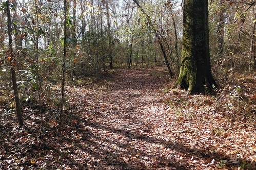
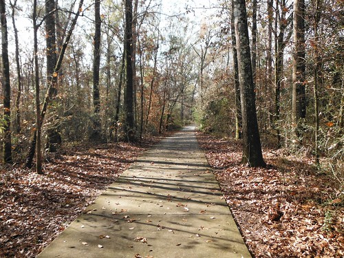
trees forest woods louisiana trail ilobsterit
Port Hudson Woods, Louisiana.
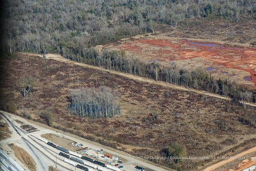
louisiana unitedstates batonrouge cypress clearcut deforestation
lean-flight-11-19-2015-8487
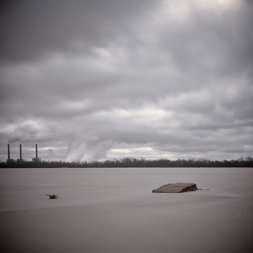
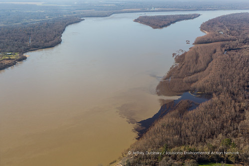
river louisiana unitedstates pollution outfall papermill georgiapacific erwinville
lean-flight-11-19-2015-8524
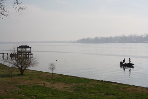
public shore johnhanley allphotoscopy20052015johnhanleyallrightsreservedcontactforpermissiontouse allphotoscopy20052016johnhanleyallrightsreservedcontactforpermissiontouse
Fishing 1
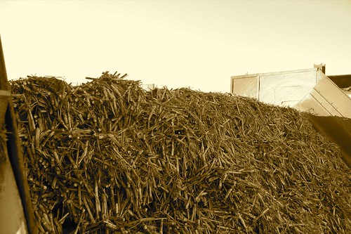
cane's cane
trees forest woods louisiana trail ilobsterit
The Trail at Port Hudson, La.
public johnhanley allphotoscopy20052015johnhanleyallrightsreservedcontactforpermissiontouse allphotoscopy20052016johnhanleyallrightsreservedcontactforpermissiontouse
Fishing 3
still standing