Elevation of Lagodekhi, Georgia
Location: Georgia > Kakheti >
Longitude: 46.2781308
Latitude: 41.8186298
Elevation: 431m / 1414feet
Barometric Pressure: 96KPa
Elevation Map:
Satellite Map:
Related Photos:
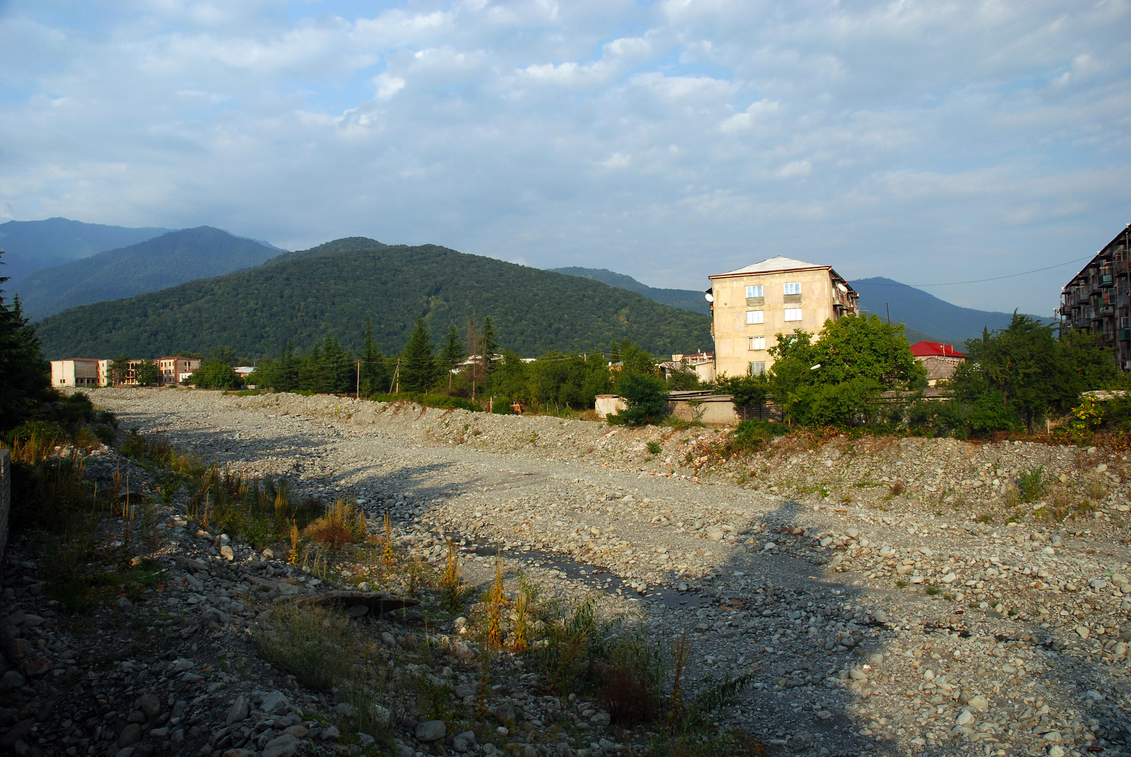
Lagodekhi, view easterly to Caucasus foothills
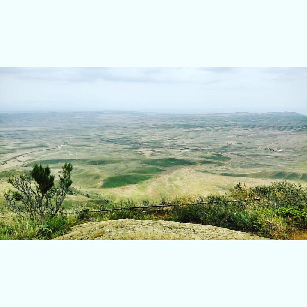
Hilltop. #vscocam #landscape #travel #georgia
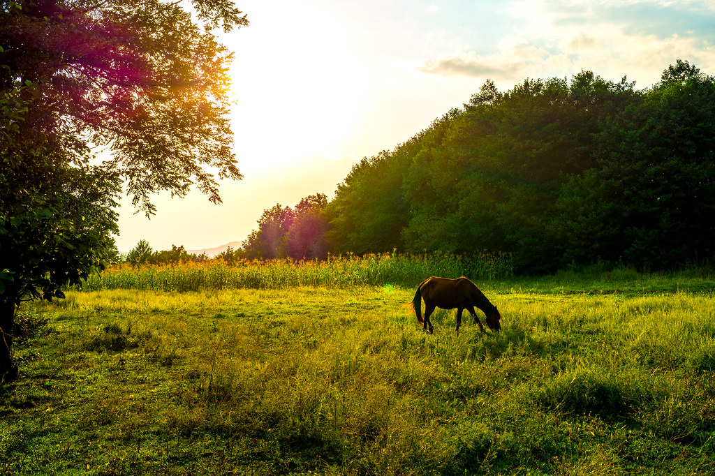
Ein Pferd auf der Weide

IMG_3734 (Kopie)

IMG_3704 (Kopie)

IMG_3724 (Kopie)

#tianshan #china

IMG_3577 (Kopie)
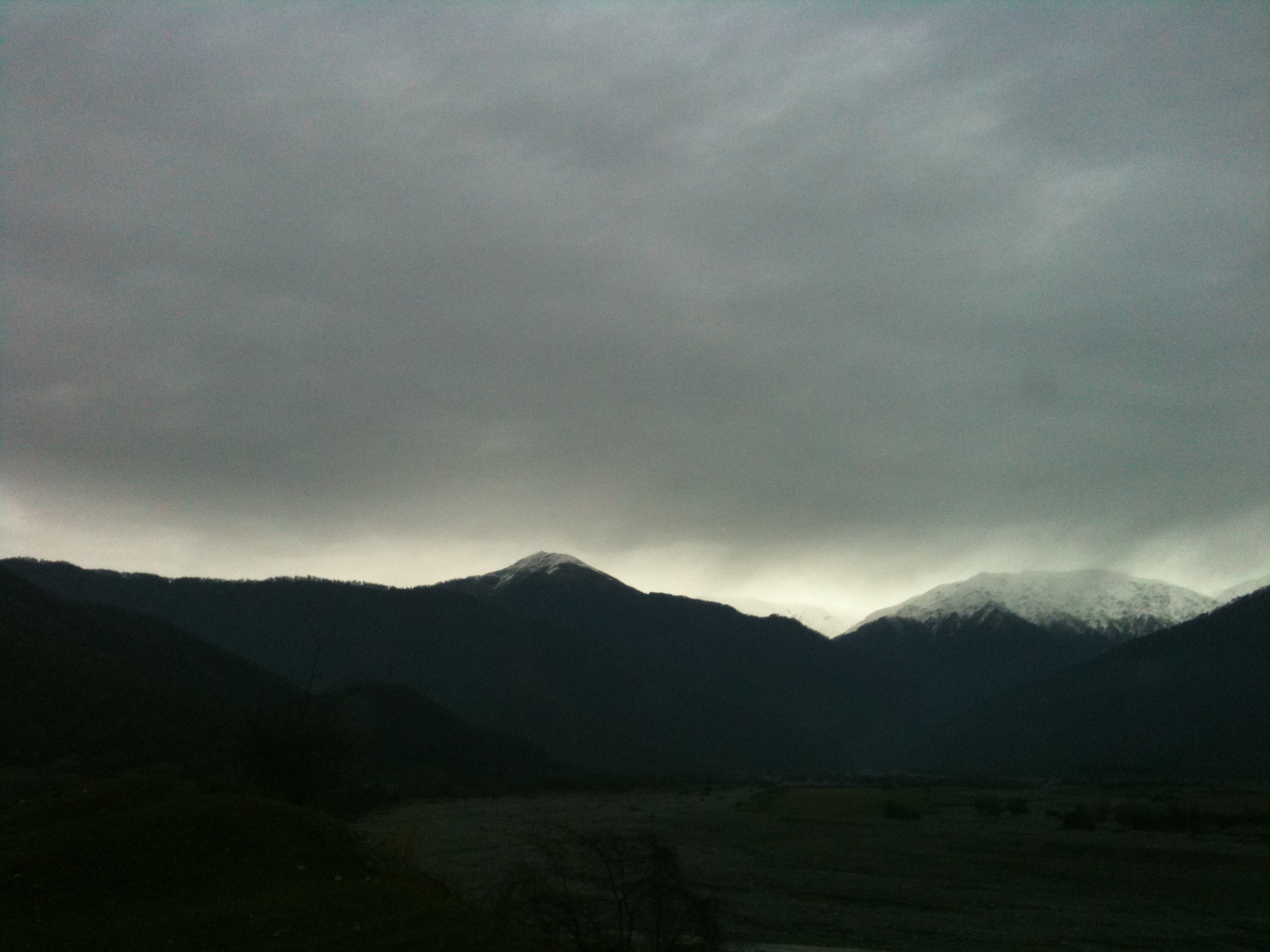
What a start of a day..

IMG_3733 (Kopie)
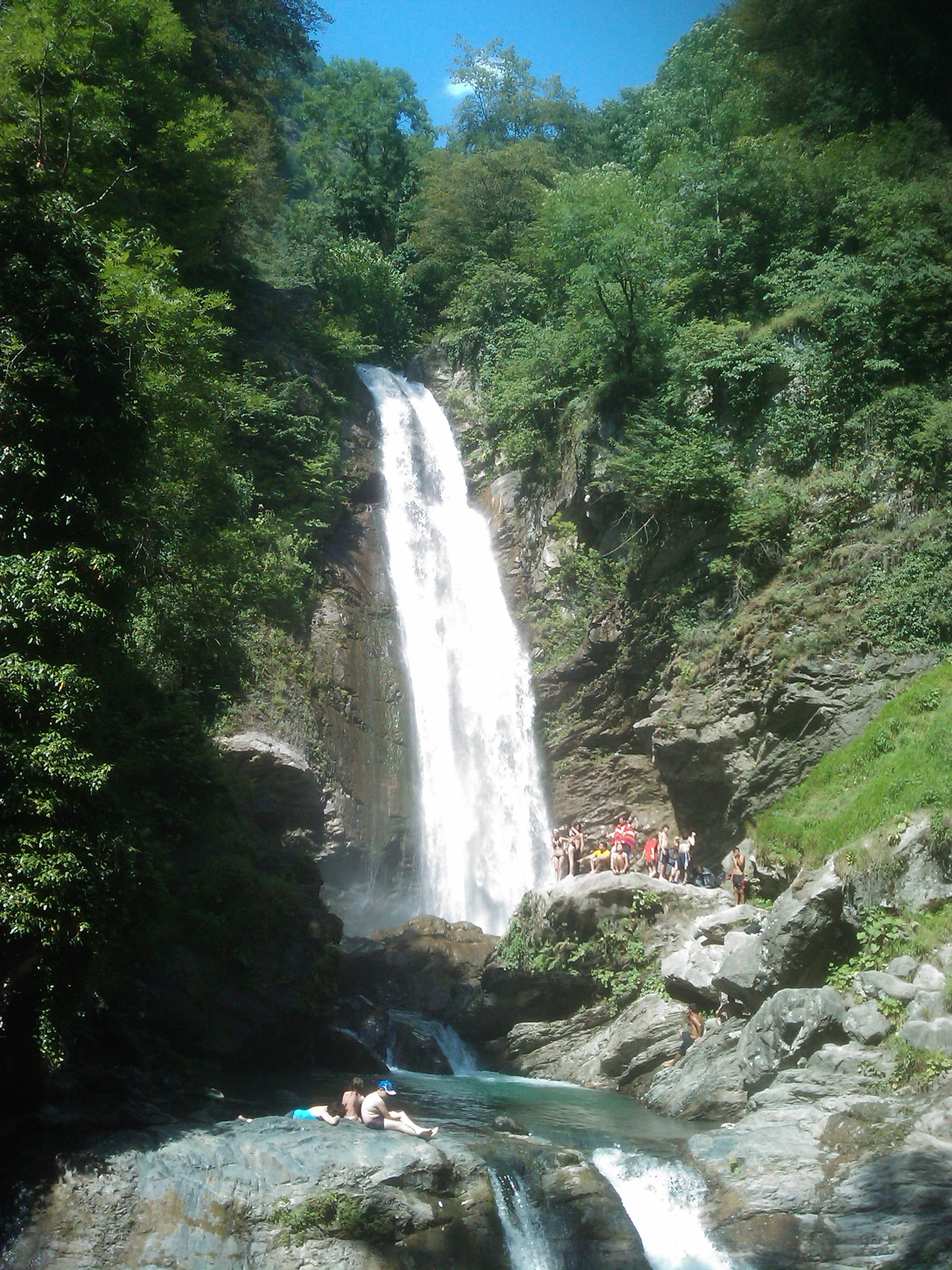
Lagodekhi national park (waterfall) 1
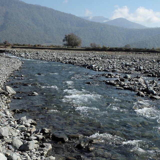
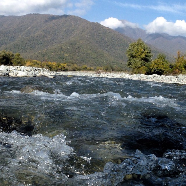
We had a good day at the Kabali river
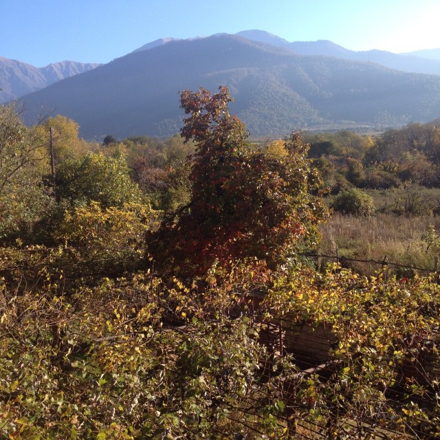
#kakheti #georgia
A morning of light
L1030230 (1)

IMG_3673 (Kopie)

IMG_3699 (Kopie)

pizap.com15346072550457

IMG_3697 (Kopie)

IMG_3697 (Kopie)
Topographic Map of Lagodekhi, Georgia
Find elevation by address:

Places near Lagodekhi, Georgia:
Sighnaghi
Tsuntinsky District
Kvareli
Chalaubani
Nekresi
Kakheti
Tsinandali
Badiauri
Lopota Lake
Lopota Lake Resort & Spa
Napareuli
Telavi
Kakheti
Alaverdi Monastery
Sagarejo
Alvani Inn
Udabno
Kvemo Alvani
Davit Gareji Monastery
Sartichala
Recent Searches:
- Elevation of Corso Fratelli Cairoli, 35, Macerata MC, Italy
- Elevation of Tallevast Rd, Sarasota, FL, USA
- Elevation of 4th St E, Sonoma, CA, USA
- Elevation of Black Hollow Rd, Pennsdale, PA, USA
- Elevation of Oakland Ave, Williamsport, PA, USA
- Elevation of Pedrógão Grande, Portugal
- Elevation of Klee Dr, Martinsburg, WV, USA
- Elevation of Via Roma, Pieranica CR, Italy
- Elevation of Tavkvetili Mountain, Georgia
- Elevation of Hartfords Bluff Cir, Mt Pleasant, SC, USA