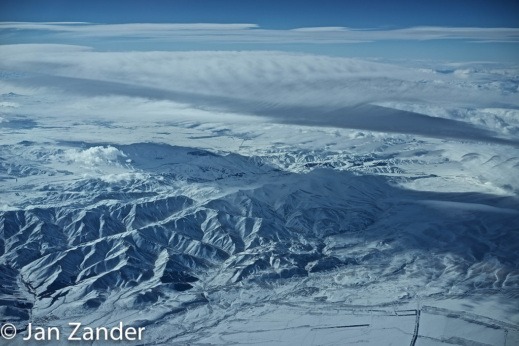
Elevation of Badiauri, Georgia
Location: Georgia >
Longitude: 45.5503012
Latitude: 41.6491802
Elevation: 551m / 1808feet
Barometric Pressure: 95KPa
Elevation Map:
Satellite Map:
Related Photos:
20160908-_D8H0400
20160908-_D8H0401
20160908-_D8H0398
20160908-_D8H0404

sun goes down..

Bakuriani Valley
Caucasus.jpg
Topographic Map of Badiauri, Georgia
Find elevation by address:

Places near Badiauri, Georgia:
Kakheti
Udabno
Sagarejo
Tsinandali
Chalaubani
Davit Gareji Monastery
Telavi
Kakheti
Sighnaghi
Sartichala
Nekresi
Napareuli
Kvareli
Lopota Lake
Lopota Lake Resort & Spa
Alaverdi Monastery
Kvemo Alvani
Alvani Inn
Sasadilo
Gardabani
Recent Searches:
- Elevation of Corso Fratelli Cairoli, 35, Macerata MC, Italy
- Elevation of Tallevast Rd, Sarasota, FL, USA
- Elevation of 4th St E, Sonoma, CA, USA
- Elevation of Black Hollow Rd, Pennsdale, PA, USA
- Elevation of Oakland Ave, Williamsport, PA, USA
- Elevation of Pedrógão Grande, Portugal
- Elevation of Klee Dr, Martinsburg, WV, USA
- Elevation of Via Roma, Pieranica CR, Italy
- Elevation of Tavkvetili Mountain, Georgia
- Elevation of Hartfords Bluff Cir, Mt Pleasant, SC, USA