Elevation of Sagarejo, Georgia
Location: Georgia >
Longitude: 45.3350791
Latitude: 41.725392
Elevation: 695m / 2280feet
Barometric Pressure: 93KPa
Elevation Map:
Satellite Map:
Related Photos:

with care and love
Forest road in the fog

VSCO cam.

VSCO cam.

Landscape near Davit Gareja

how wine should be
20160908-_D8H0400
1311xx trip in Tbilisi Georgia 10
20160908-_D8H0401
20160908-_D8H0398
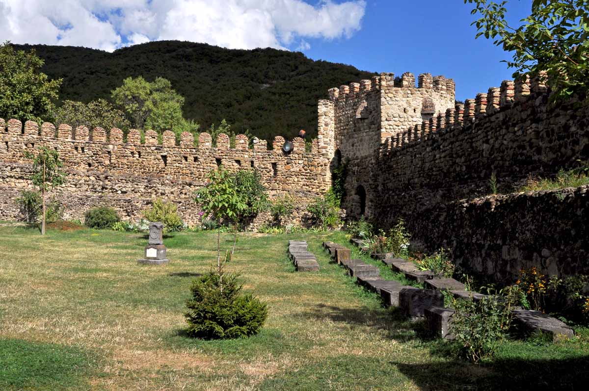
Ninotsminda chatnhedral in Sagarejo (Kakheti region, Georgia)
20160908-_D8H0404
L1030259 (1)
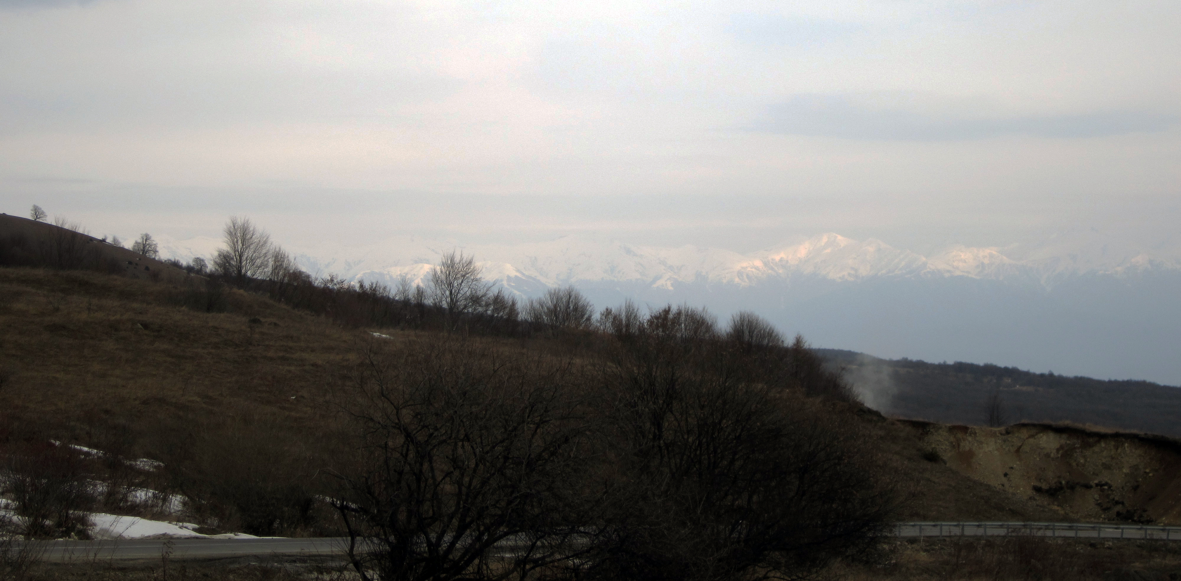
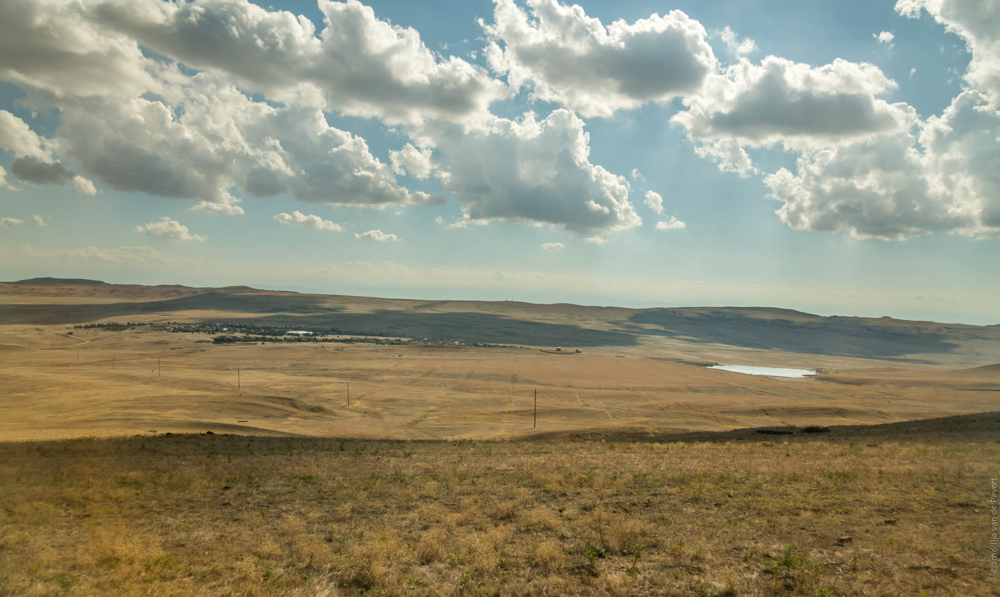
looking northward from the "new" telavi road
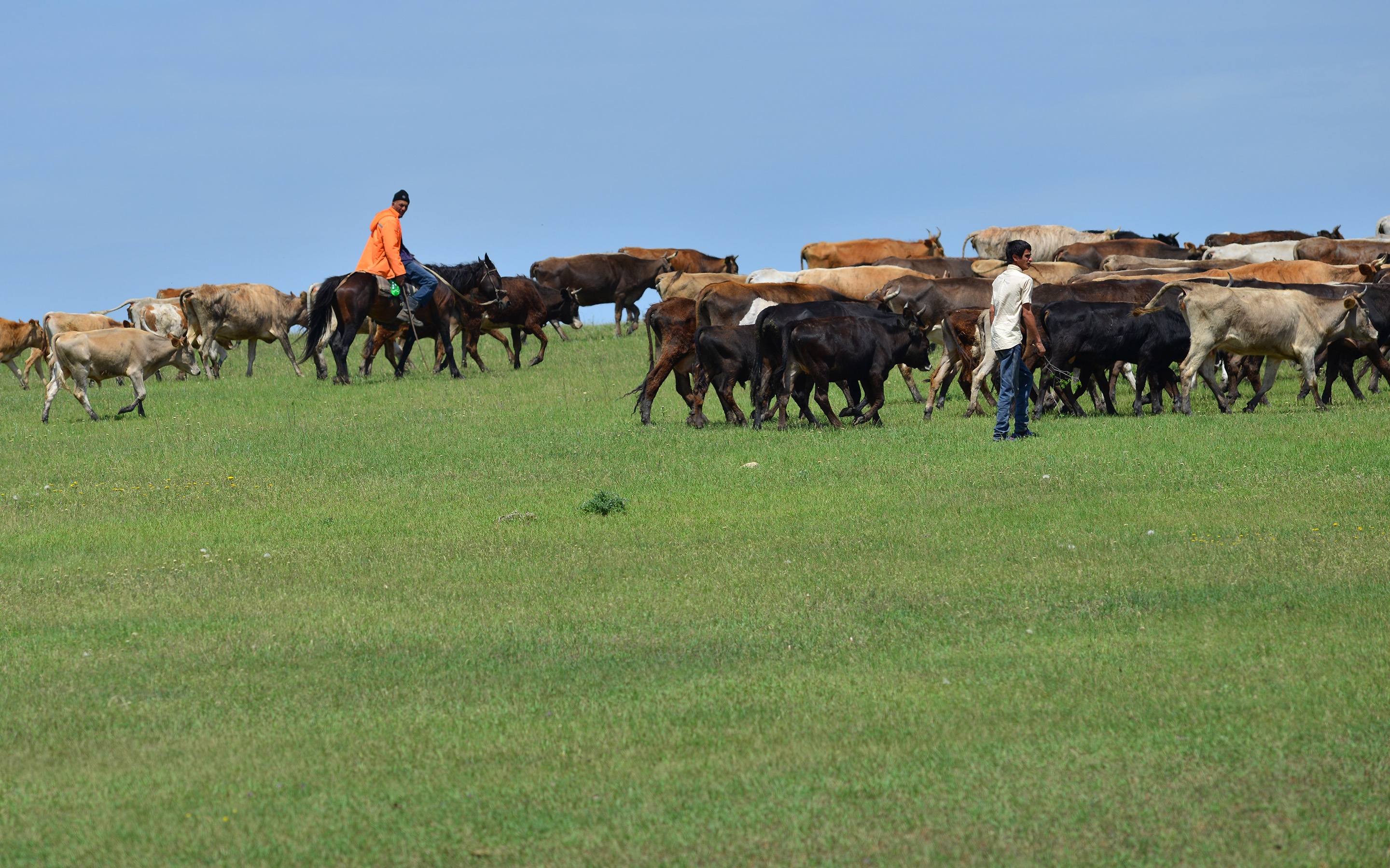
Cowherds 1
1311xx trip in Tbilisi Georgia 09

#2015 #georgia #davitgareji #azerbaijan #jzdtravel #jzdt #travel #travelgram #artystycznapodroz #wanderlust #landscape #vscocam #vsco #საქართველო
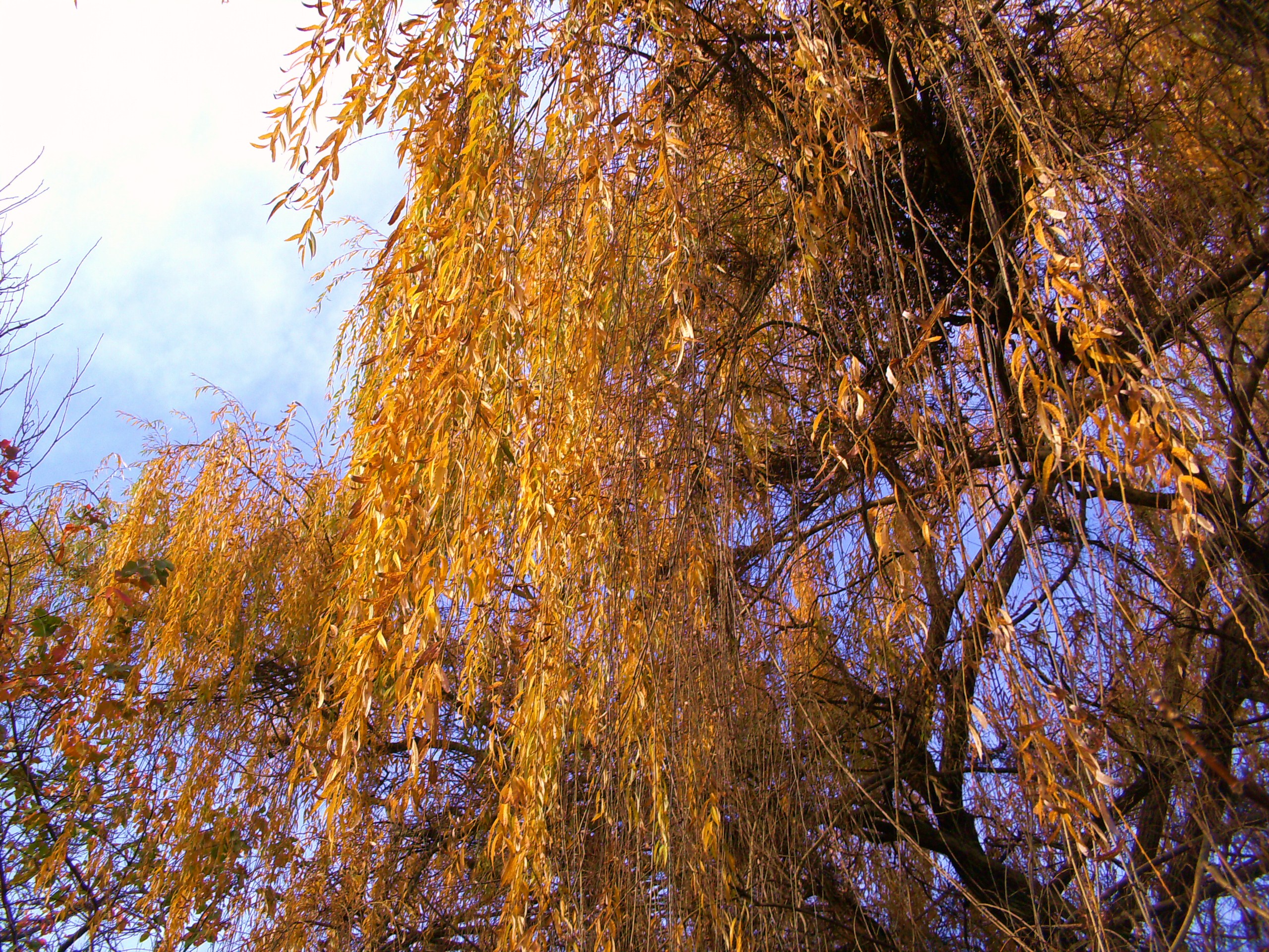
willow-tree
Topographic Map of Sagarejo, Georgia
Find elevation by address:

Places near Sagarejo, Georgia:
Sartichala
Udabno
Badiauri
Kakheti
Telavi
Sasadilo
Davit Gareji Monastery
Tsinandali
Alaverdi Monastery
Vaziani Military Air Base
Kvemo Alvani
Alvani Inn
Rustavi
Napareuli
Gardabani
Kakheti
Lopota Lake Resort & Spa
Lopota Lake
Chalaubani
Nekresi
Recent Searches:
- Elevation of Corso Fratelli Cairoli, 35, Macerata MC, Italy
- Elevation of Tallevast Rd, Sarasota, FL, USA
- Elevation of 4th St E, Sonoma, CA, USA
- Elevation of Black Hollow Rd, Pennsdale, PA, USA
- Elevation of Oakland Ave, Williamsport, PA, USA
- Elevation of Pedrógão Grande, Portugal
- Elevation of Klee Dr, Martinsburg, WV, USA
- Elevation of Via Roma, Pieranica CR, Italy
- Elevation of Tavkvetili Mountain, Georgia
- Elevation of Hartfords Bluff Cir, Mt Pleasant, SC, USA