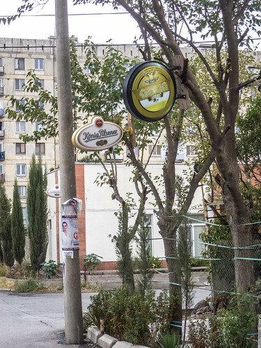
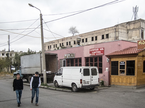
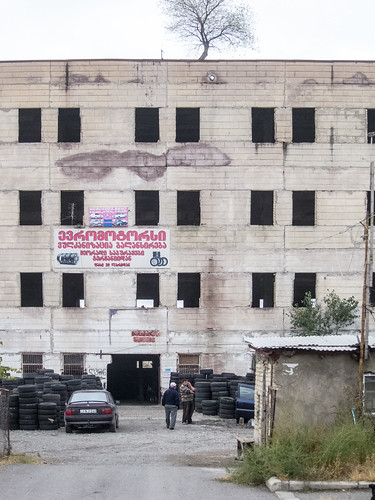
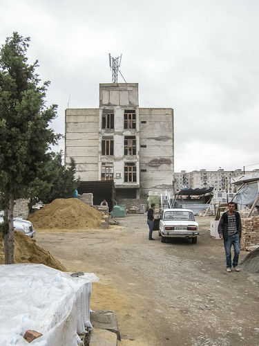
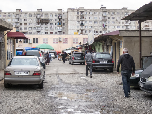
Elevation of Rustavi, Georgia
Location: Georgia > Kvemo Kartli >
Longitude: 45.0430369
Latitude: 41.5225612
Elevation: 324m / 1063feet
Barometric Pressure: 97KPa
Related Photos:
Topographic Map of Rustavi, Georgia
Find elevation by address:

Places near Rustavi, Georgia:
Gardabani
Vaziani Military Air Base
Sartichala
Udabno
Davit Gareji Monastery
Sagarejo
Sasadilo
Badiauri
Kakheti
Telavi
Alaverdi Monastery
Yenokavan
Kvemo Alvani
Alvani Inn
Ijevan
Tsinandali
Kakheti
Napareuli
Tavush Province
Lopota Lake Resort & Spa
Recent Searches:
- Elevation of Corso Fratelli Cairoli, 35, Macerata MC, Italy
- Elevation of Tallevast Rd, Sarasota, FL, USA
- Elevation of 4th St E, Sonoma, CA, USA
- Elevation of Black Hollow Rd, Pennsdale, PA, USA
- Elevation of Oakland Ave, Williamsport, PA, USA
- Elevation of Pedrógão Grande, Portugal
- Elevation of Klee Dr, Martinsburg, WV, USA
- Elevation of Via Roma, Pieranica CR, Italy
- Elevation of Tavkvetili Mountain, Georgia
- Elevation of Hartfords Bluff Cir, Mt Pleasant, SC, USA
