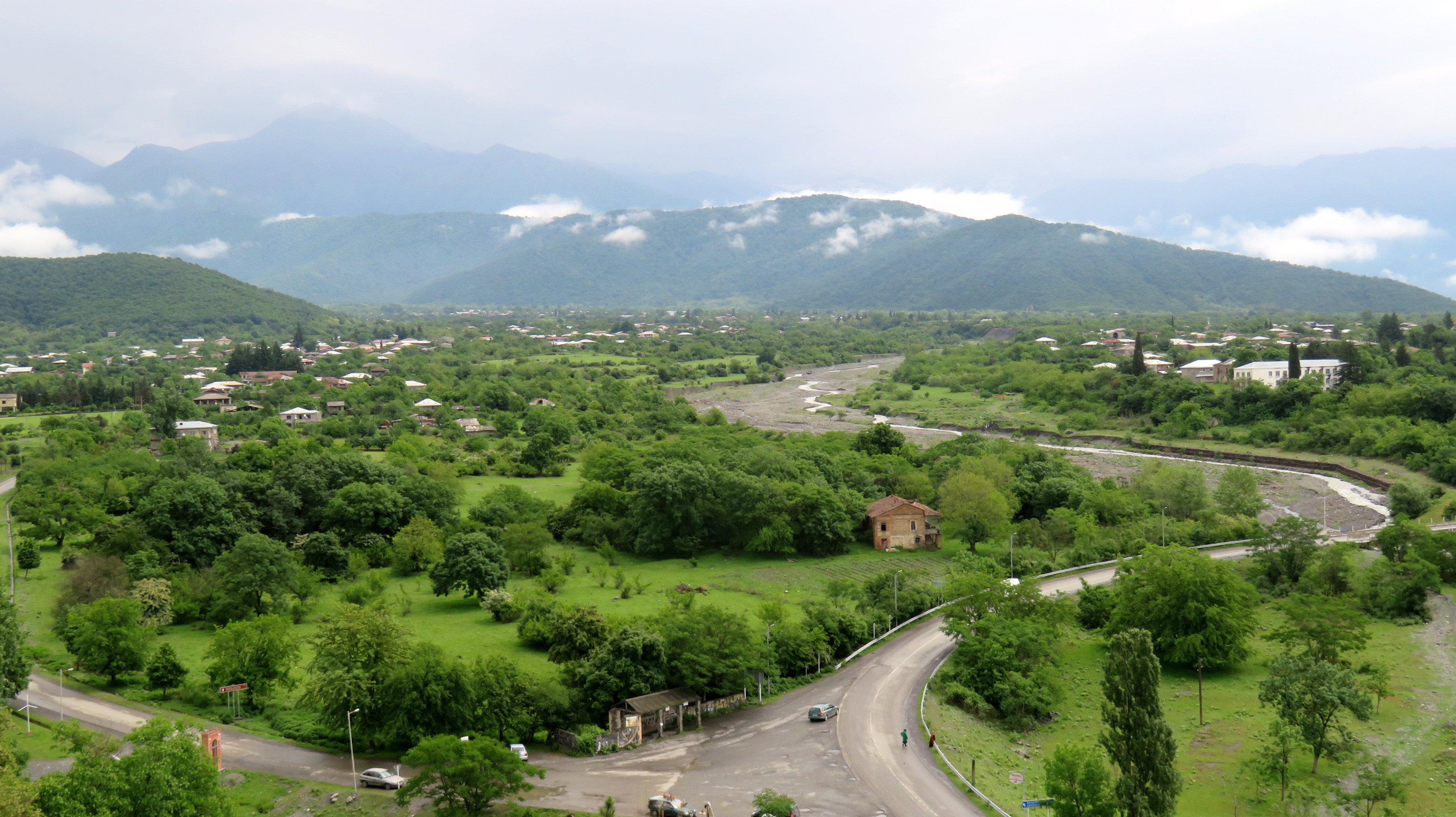
Elevation of Kvareli, Georgia
Location: Georgia >
Longitude: 45.8147918
Latitude: 41.9483514
Elevation: 416m / 1365feet
Barometric Pressure: 96KPa
Elevation Map:
Satellite Map:
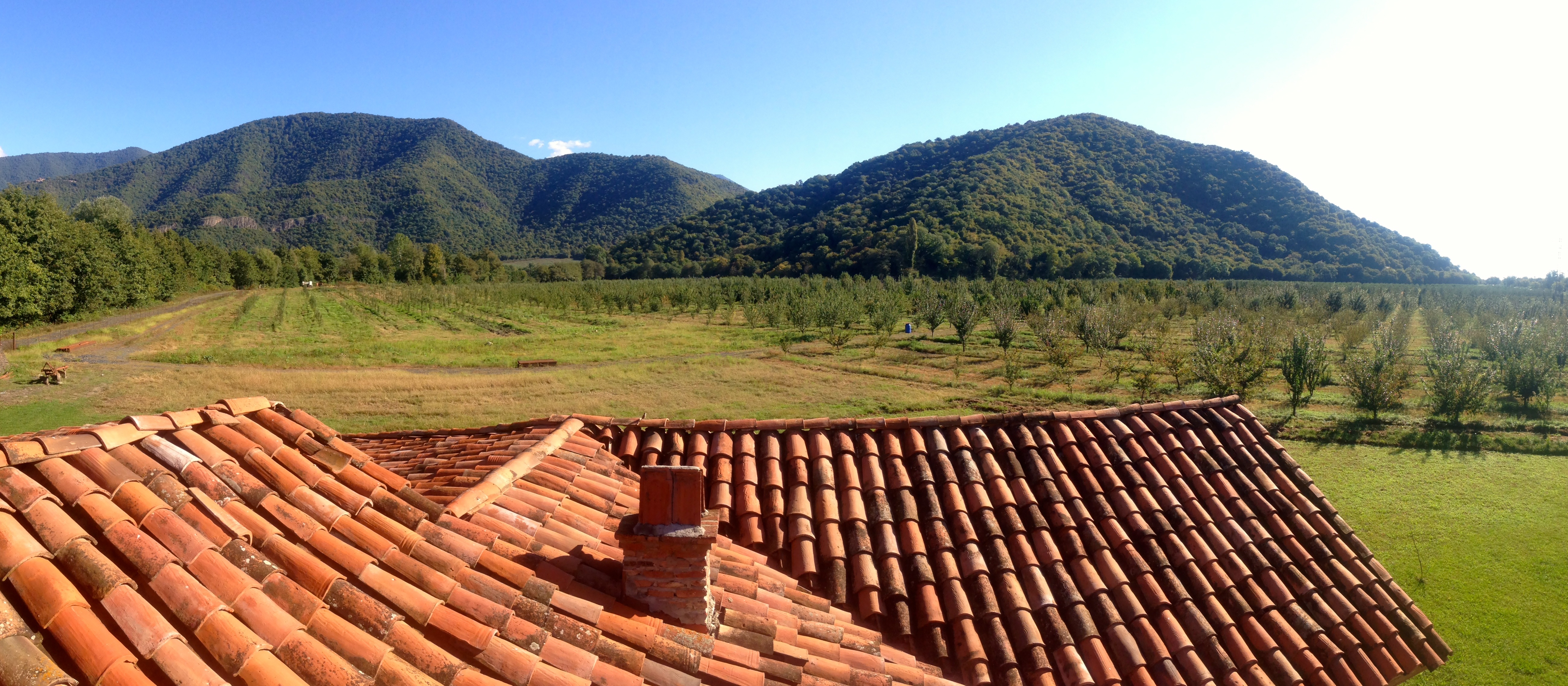
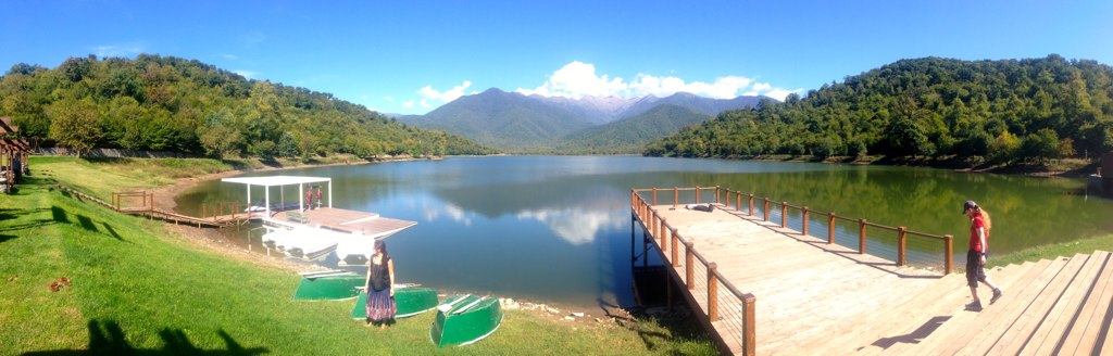
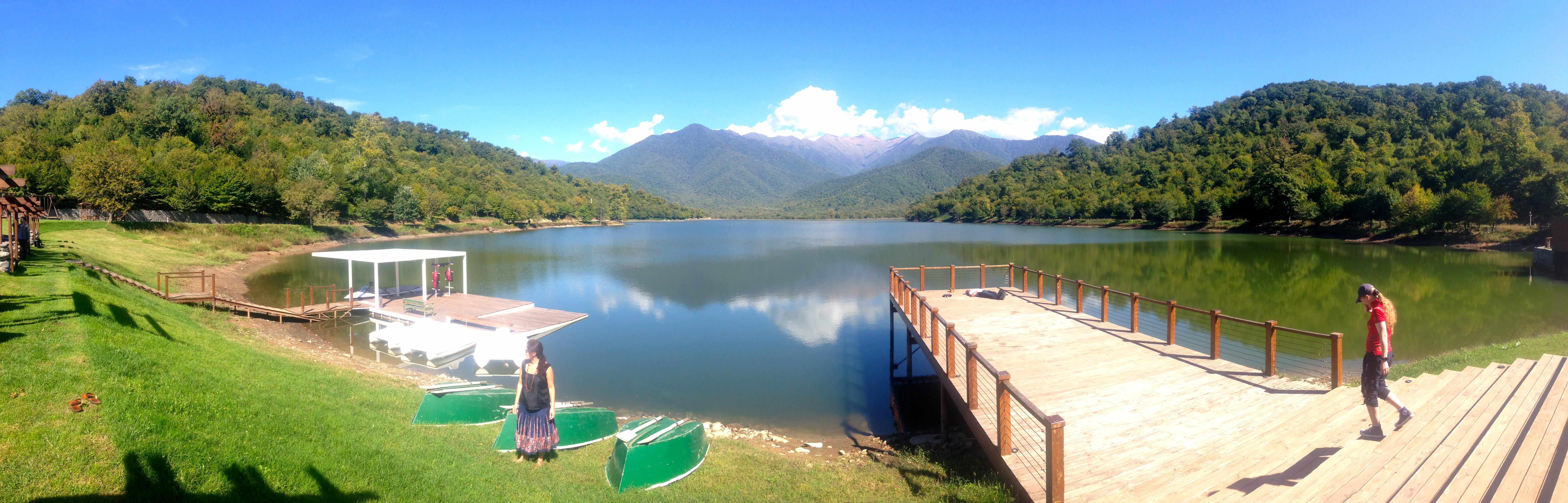
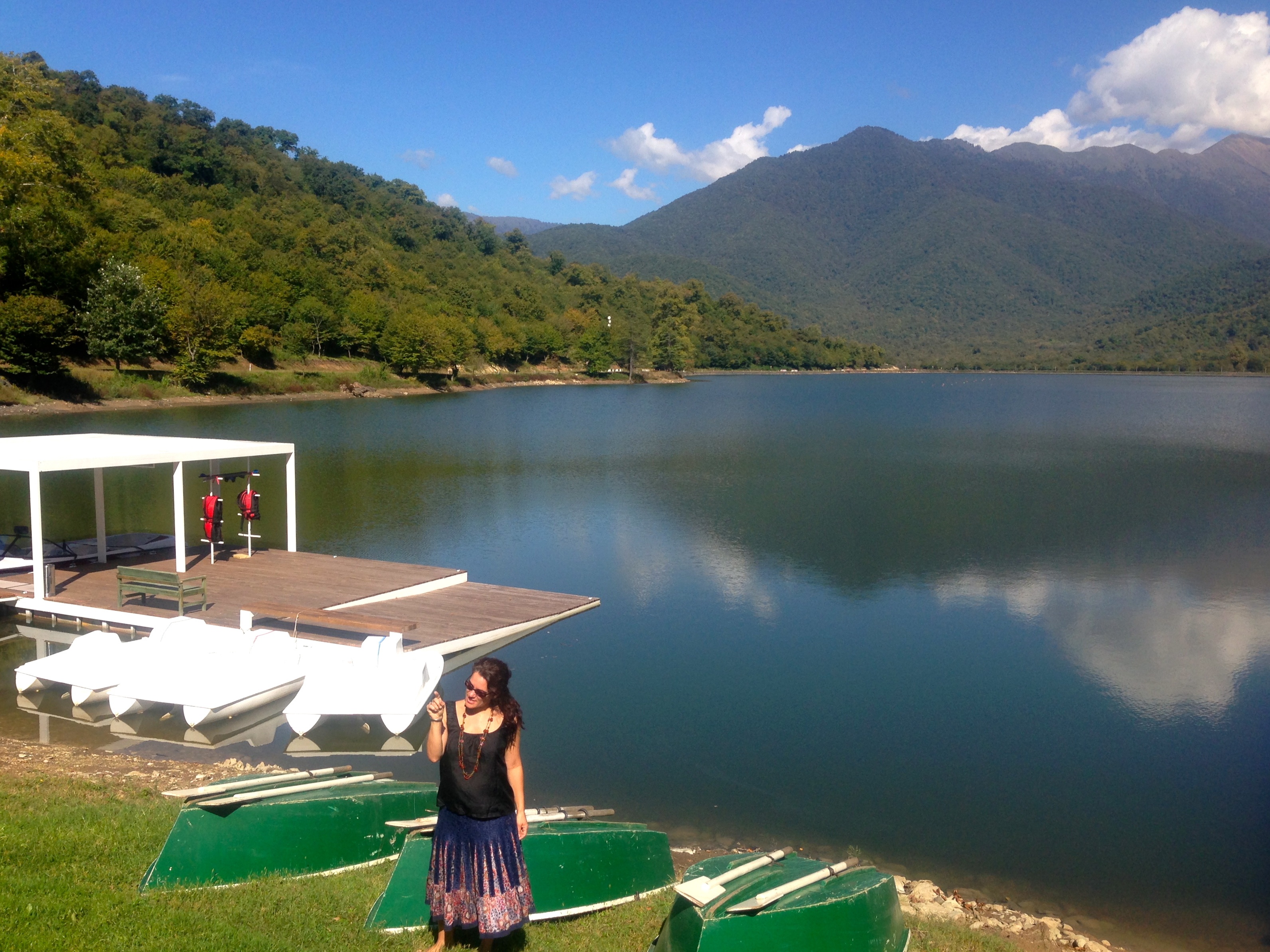
Related Photos:
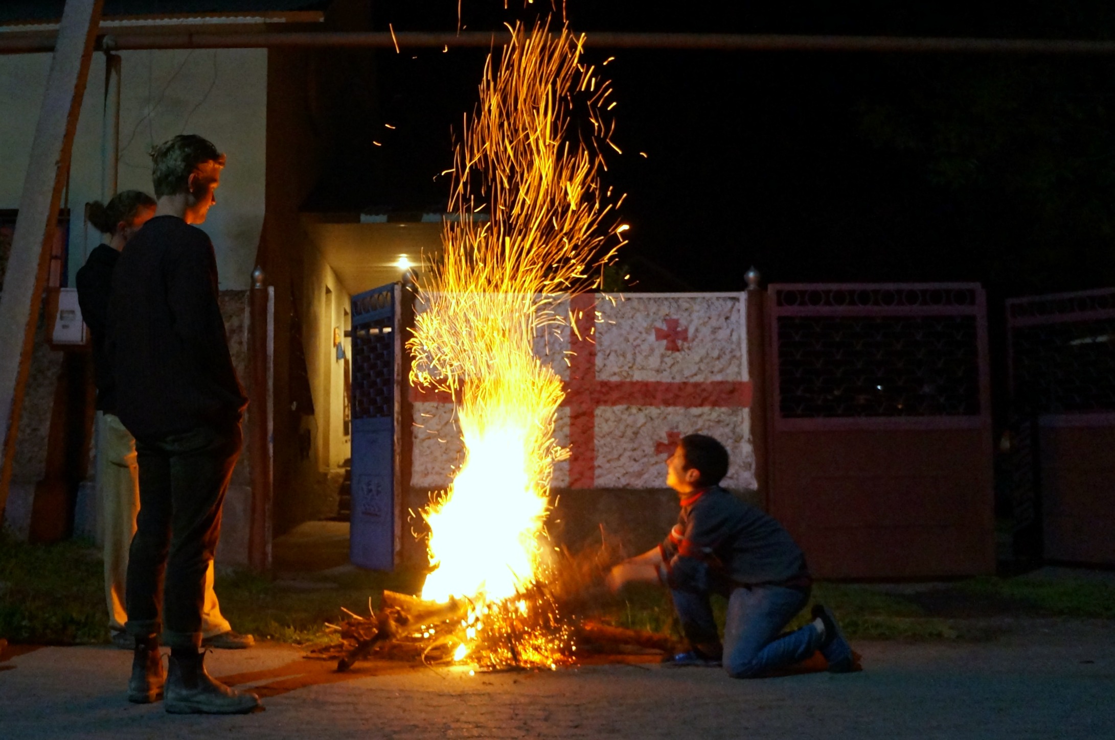
Getting Ready for Easter - Georgia 2

2017-052008Q
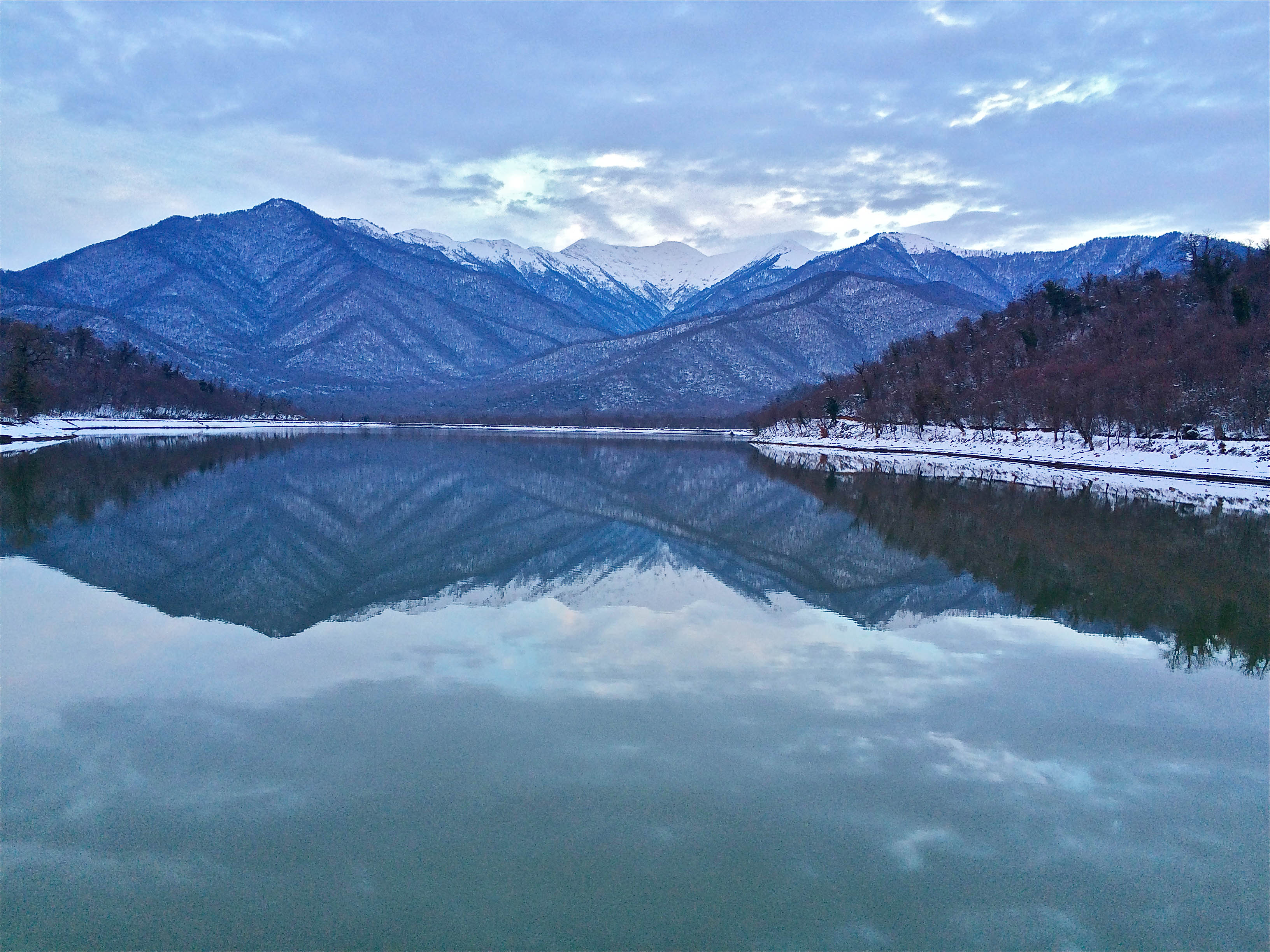
Lake Kvareli in winter
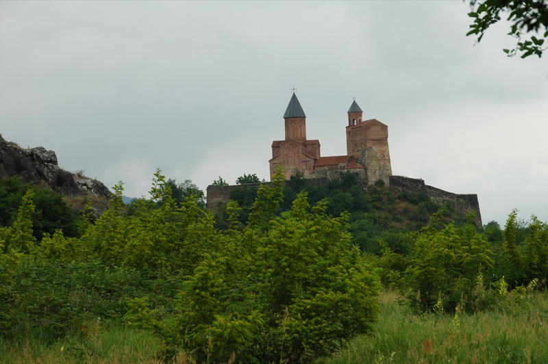
Gremi Citadel and Church on a Hill - Kakheti, Georgia
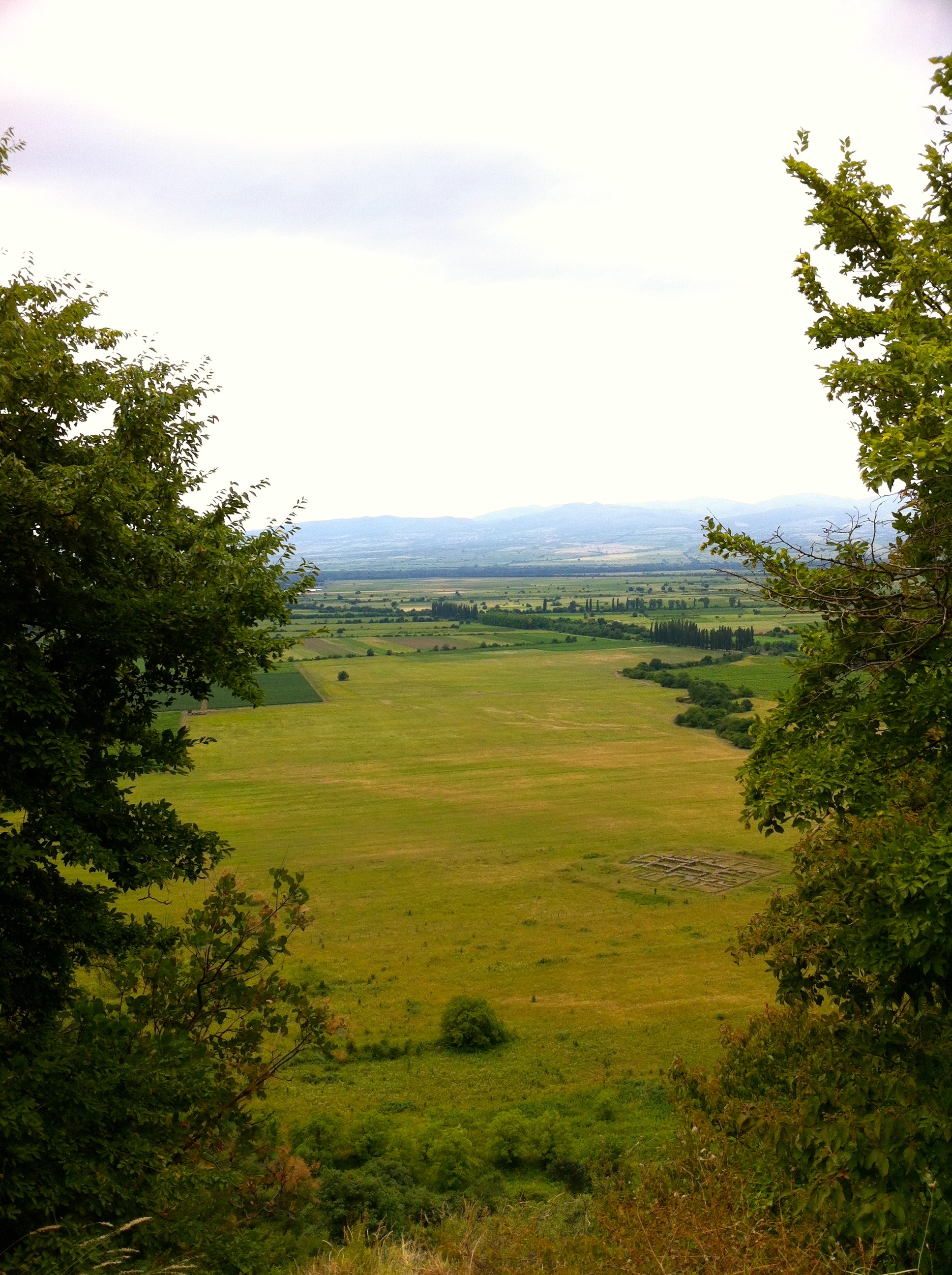
Вид на знаменитую Алазанскую долину, Грузия. Август 2013 // View to famous Alasan valley, Georgia. August 2013
2017-052008U
Good view but….tired~
20160606_Georgia_7059 sRGB
20090923-monastere perche
Georgie_Armenie-161

DJI_0032.JPG
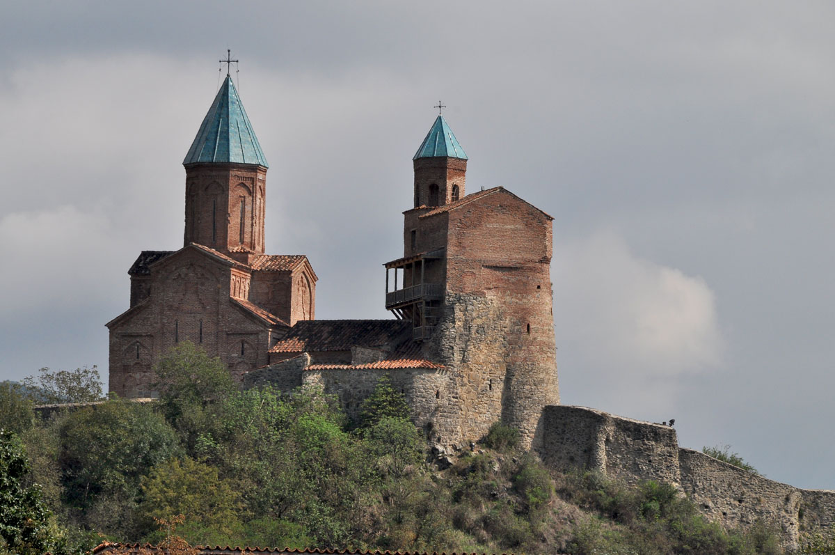
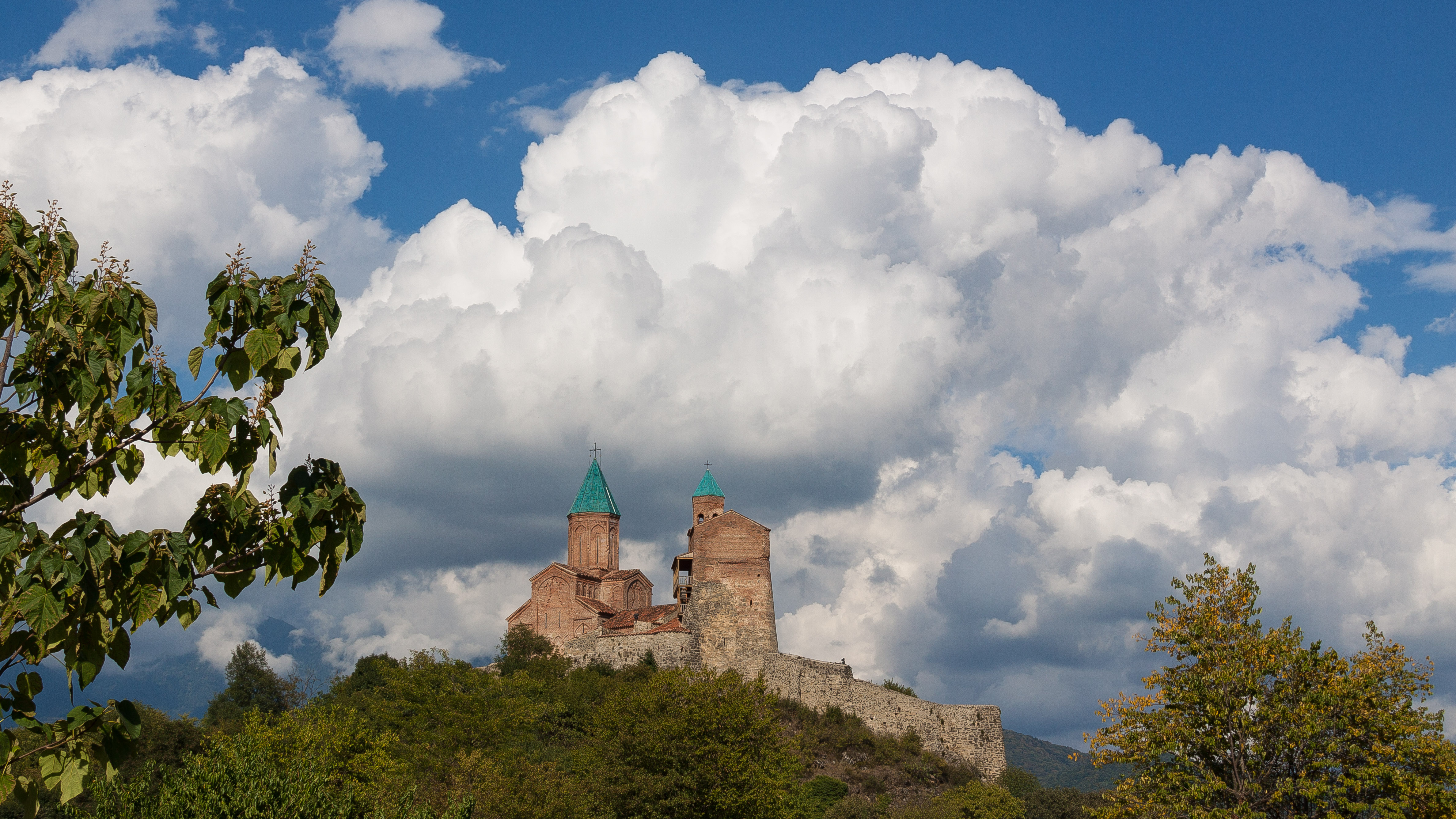
Fortress Gremi (Kakheti region, Georgia)

Garden Hotel

Taekwondo inside a river!

Garden Hotel
Museum of Chavchavadze in Kvareli (Kakheti region, Georgia)
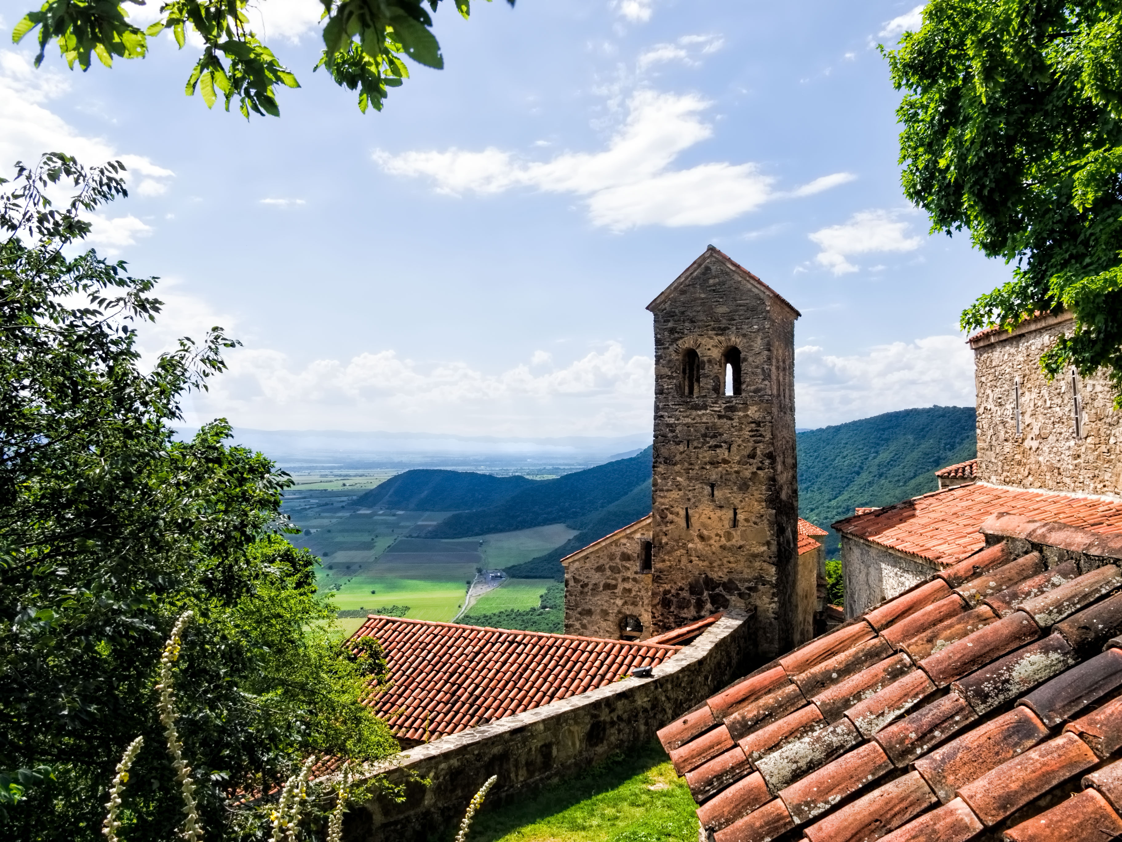
Nekresi Monastery (Kakheti region, Georgia)
Garden Hotel

Kvareli Lake $ Hotel

Kvareli Lake $ Hotel
Kvareli Lake $ Hotel

Kvareli Lake $ Hotel
Kvareli Lake $ Hotel

Kvareli Lake $ Hotel
Kvareli Lake $ Hotel

Kvareli Lake $ Hotel
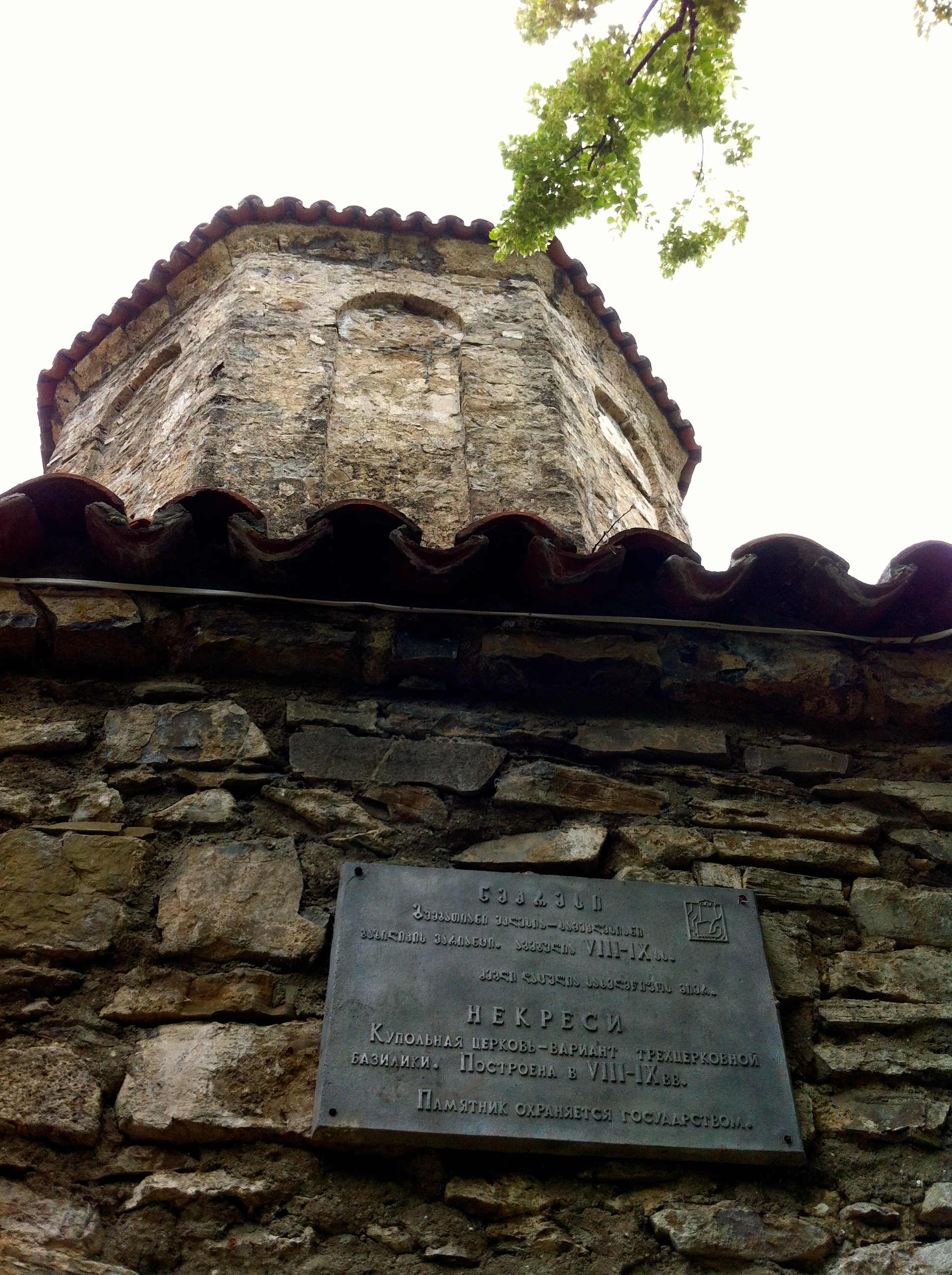
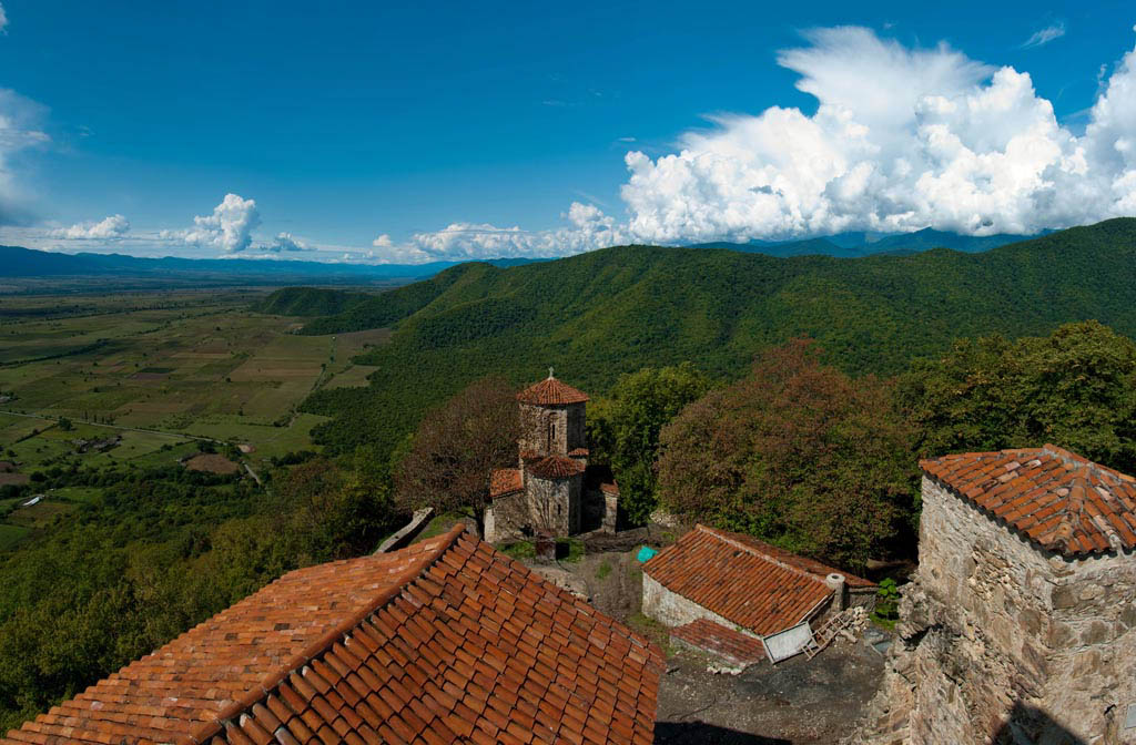
Nekresi Monastry
Topographic Map of Kvareli, Georgia
Find elevation by address:

Places near Kvareli, Georgia:
Nekresi
Tsinandali
Tsuntinsky District
Lopota Lake
Lopota Lake Resort & Spa
Chalaubani
Napareuli
Kakheti
Telavi
Kakheti
Sighnaghi
Badiauri
Alaverdi Monastery
Alvani Inn
Kvemo Alvani
Lagodekhi
Sagarejo
Udabno
Davit Gareji Monastery
Sasadilo
Recent Searches:
- Elevation of Corso Fratelli Cairoli, 35, Macerata MC, Italy
- Elevation of Tallevast Rd, Sarasota, FL, USA
- Elevation of 4th St E, Sonoma, CA, USA
- Elevation of Black Hollow Rd, Pennsdale, PA, USA
- Elevation of Oakland Ave, Williamsport, PA, USA
- Elevation of Pedrógão Grande, Portugal
- Elevation of Klee Dr, Martinsburg, WV, USA
- Elevation of Via Roma, Pieranica CR, Italy
- Elevation of Tavkvetili Mountain, Georgia
- Elevation of Hartfords Bluff Cir, Mt Pleasant, SC, USA