Elevation of Kuri Village, Nepal
Location: Nepal > Central Region > Bagmati >
Longitude: 86.0319253
Latitude: 27.7473318
Elevation: 3365m / 11040feet
Barometric Pressure: 67KPa
Elevation Map:
Satellite Map:
Related Photos:
Good morning Charikot - once the mist clears, we should have an awesome view of the mountains #awesomenepal #dontforgetnepal #michaelallangrant
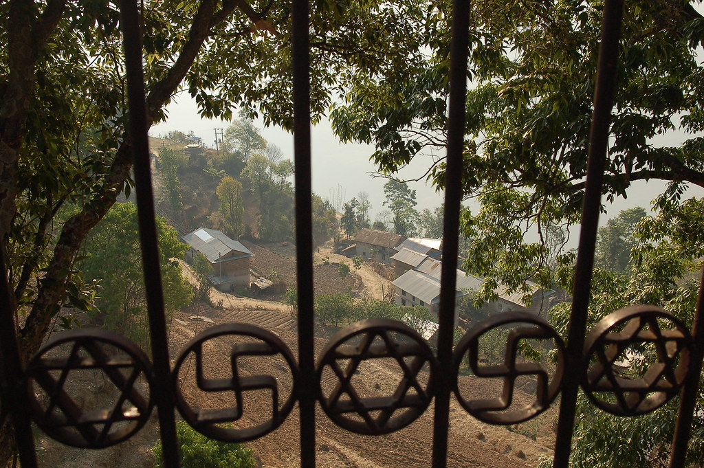
View from Hindu temple in Dolakha
Barabise, Nepal

Trishuls in thin air

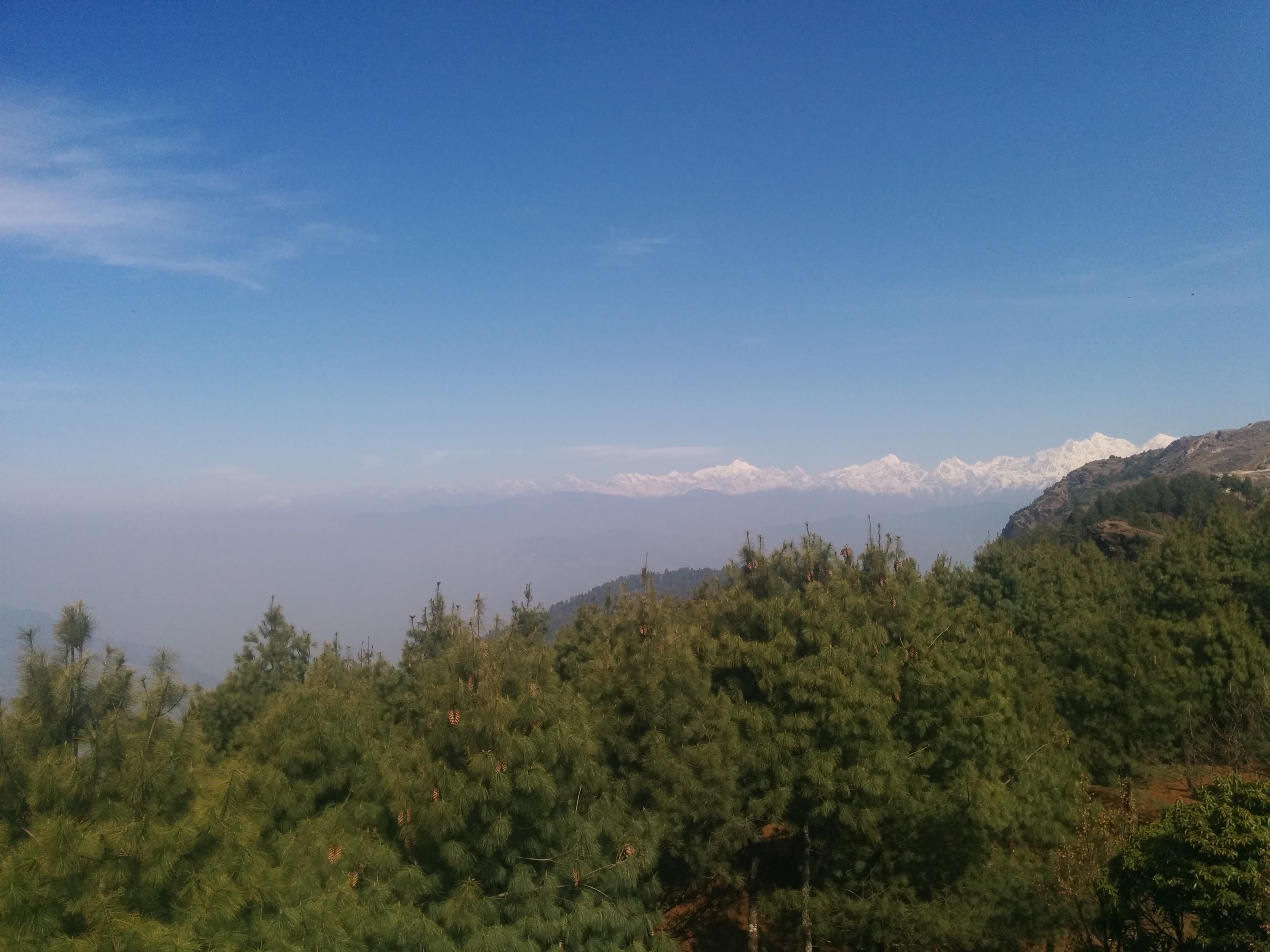
Himalaya Mountains
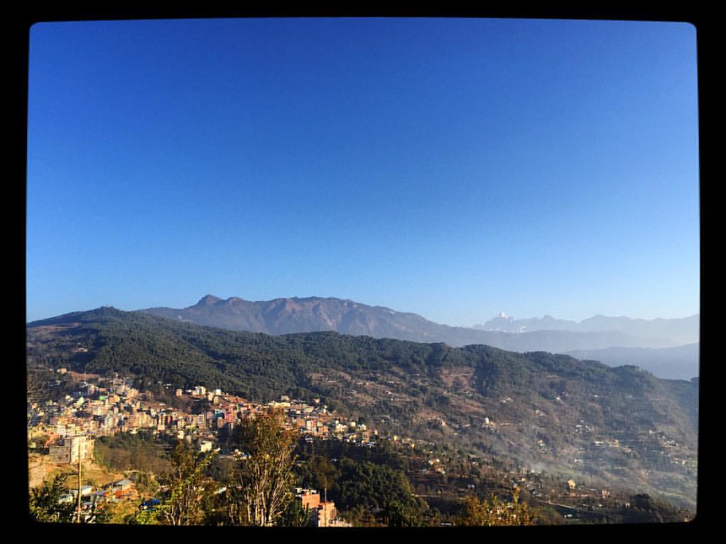
Charikot Bazaar as seen from the Bhimsen Temple area
Nepal September 2013
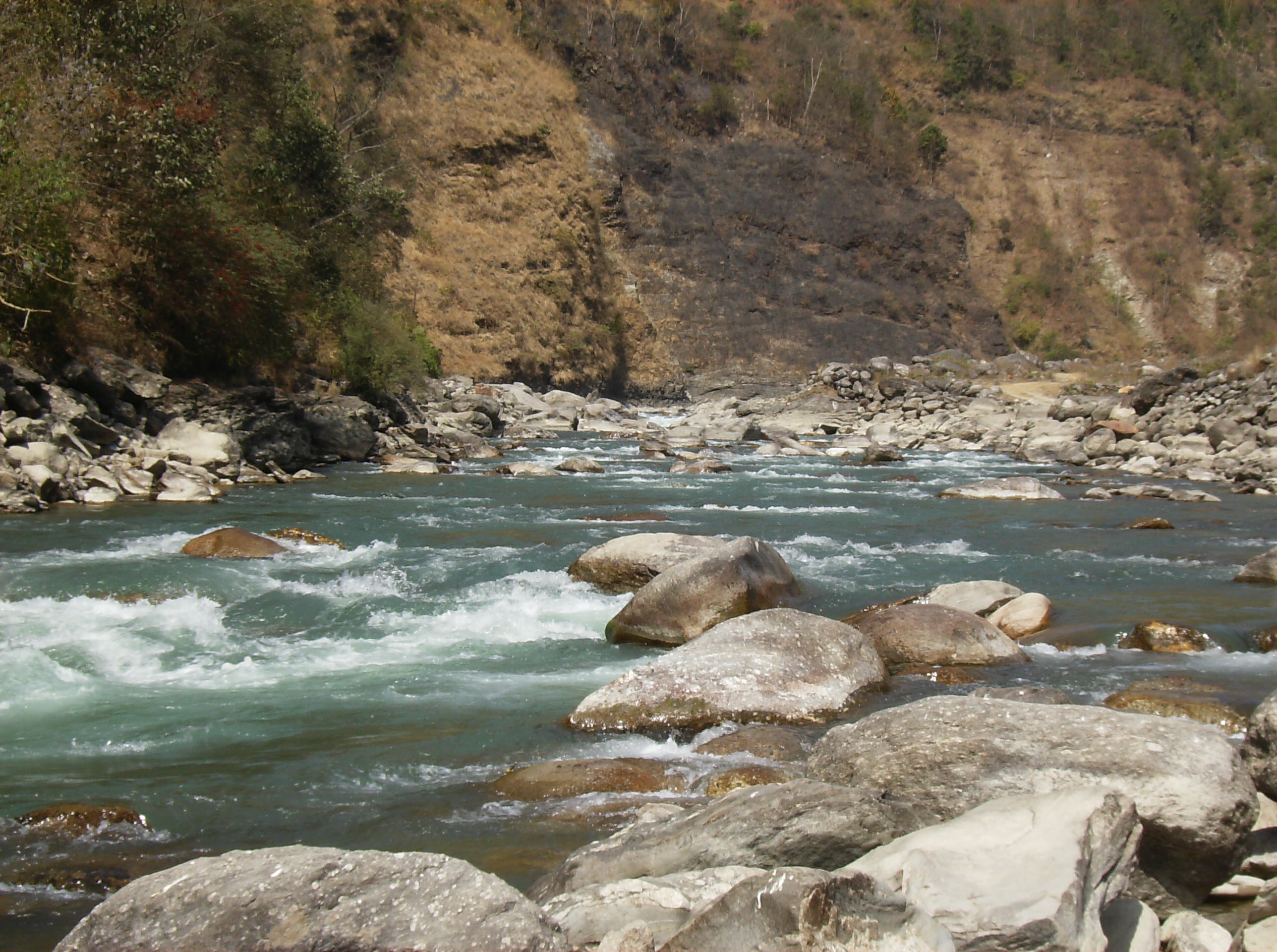
Calm Bhote Kosi river in winter

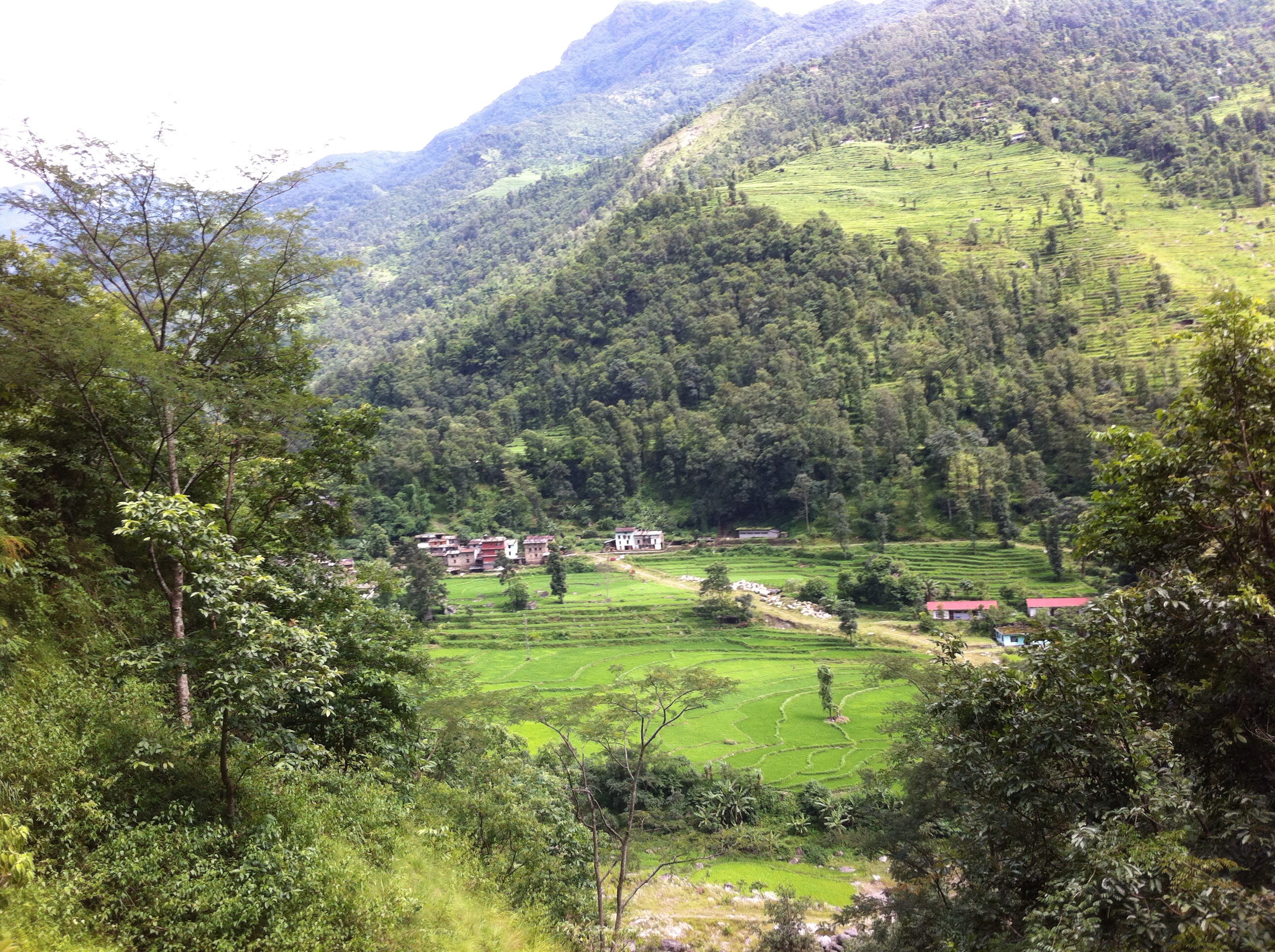
The demonstration farm of ISARD in Budepa
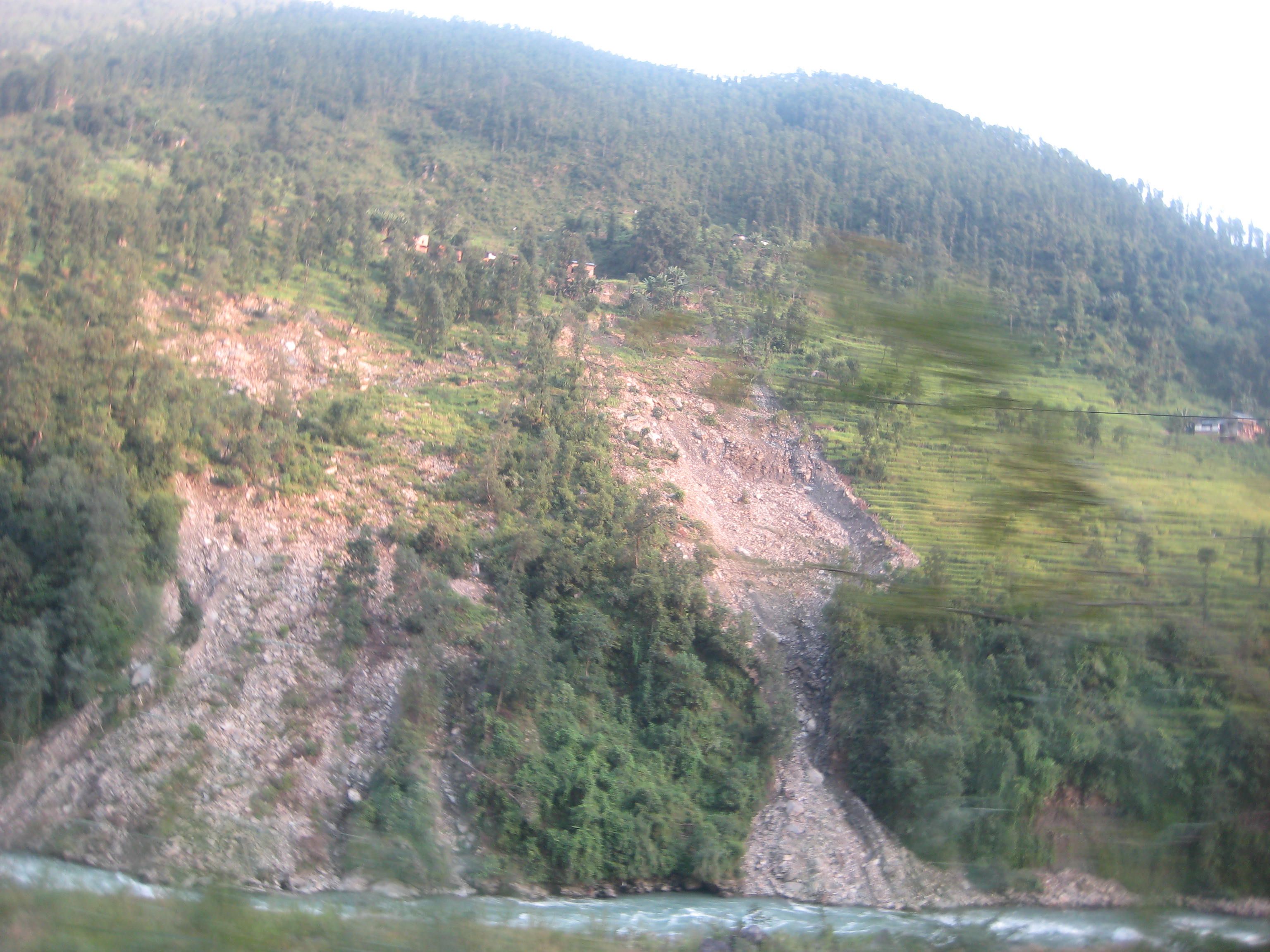
2009 landslide in Dawi
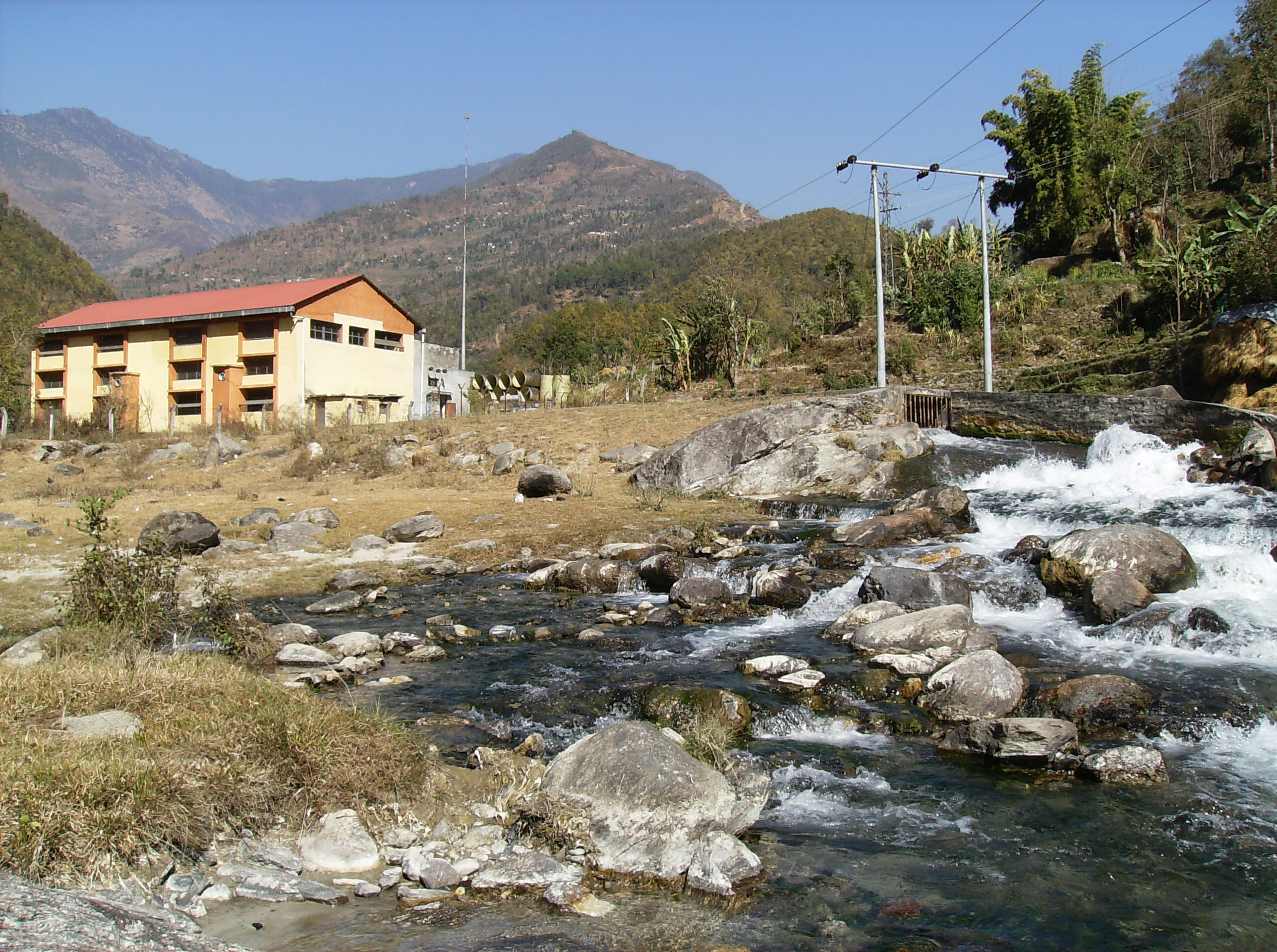
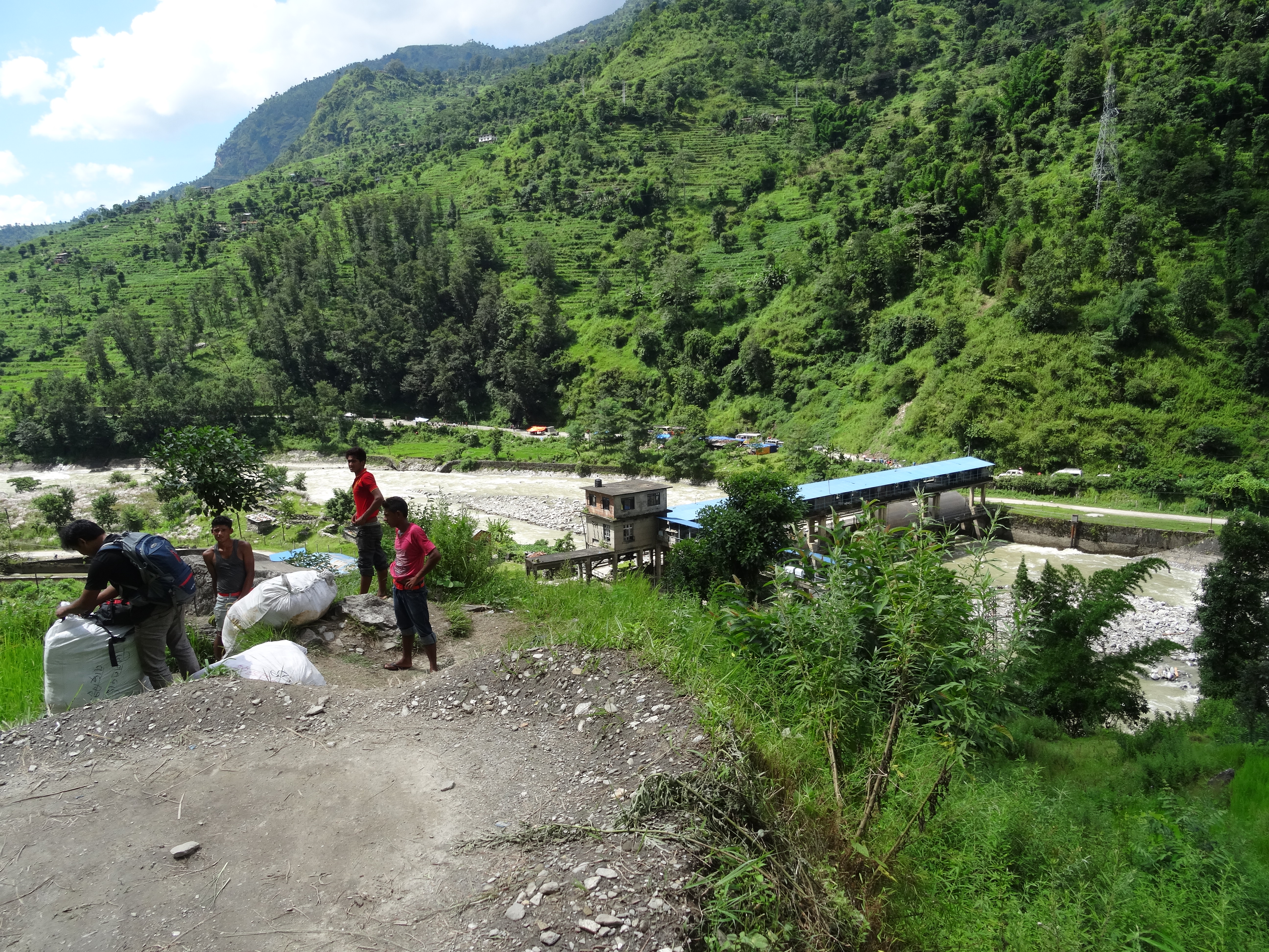
Hydro plant where Sunkoshi and Bhote Kosi meet
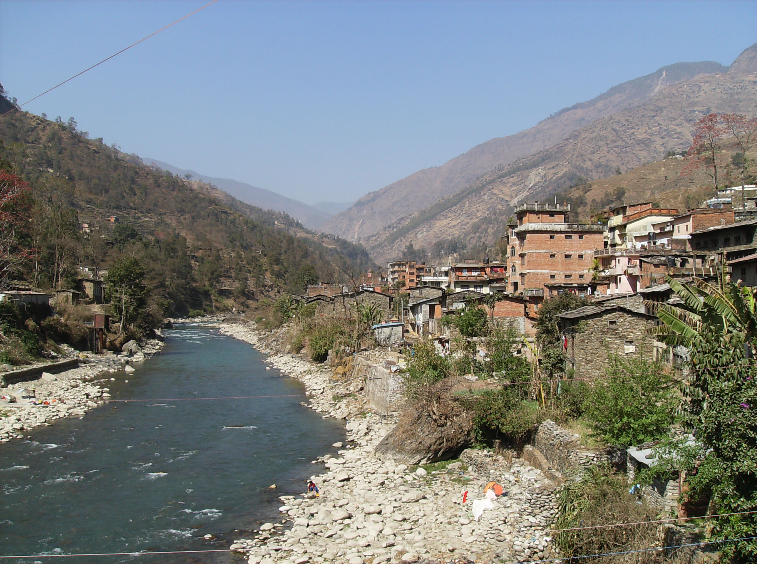
Barhabise, the nearby bigger town
2016-03-17 09.44.40

2012-01-15-07-34-07-Эверест_028
201509.0917.Nepal.Kharidhunga
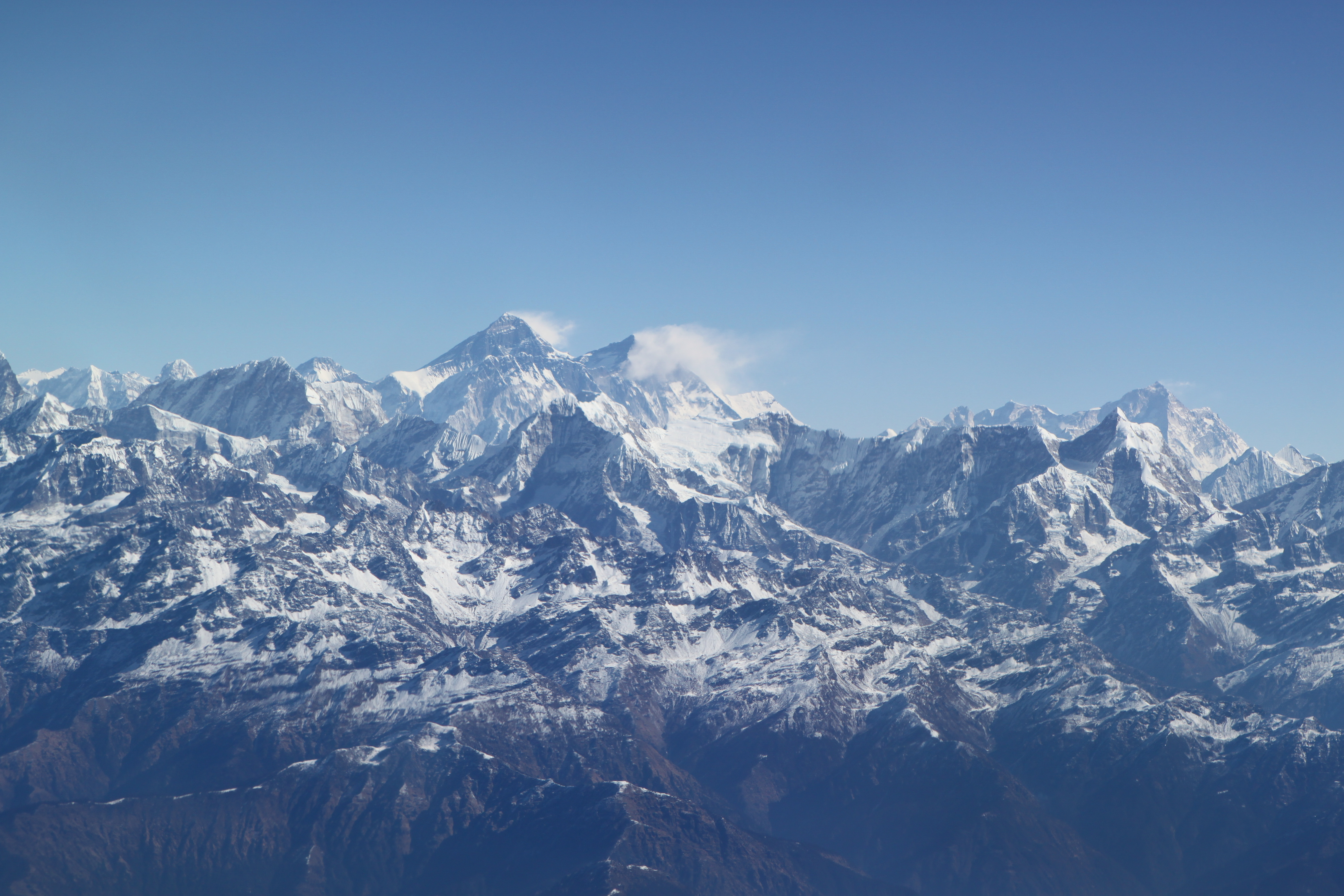
2012-01-15-07-33-59-Эверест_027
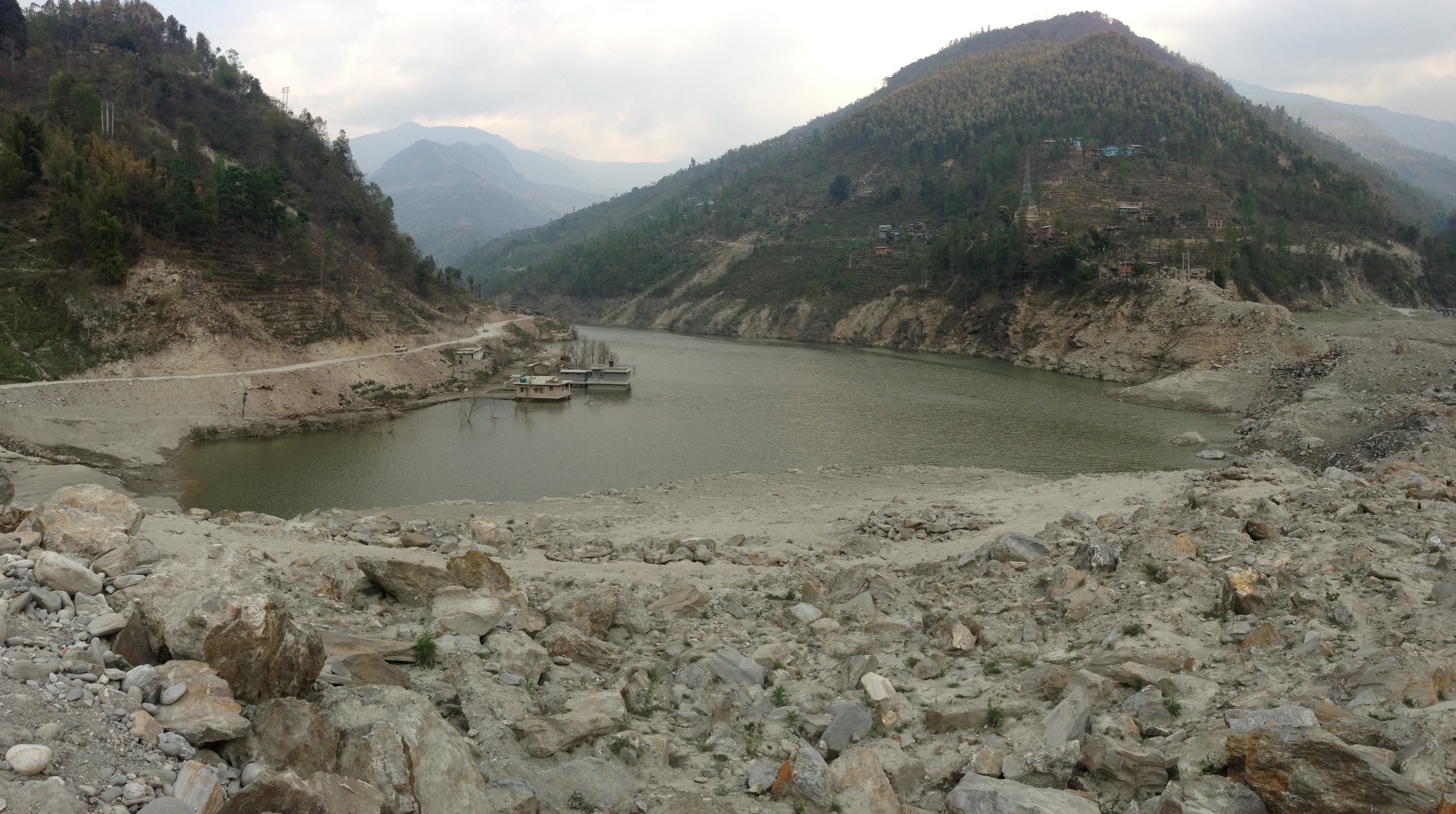
Ponding effect created due to Jure landslide in August 2014 in the Sun Koshi River
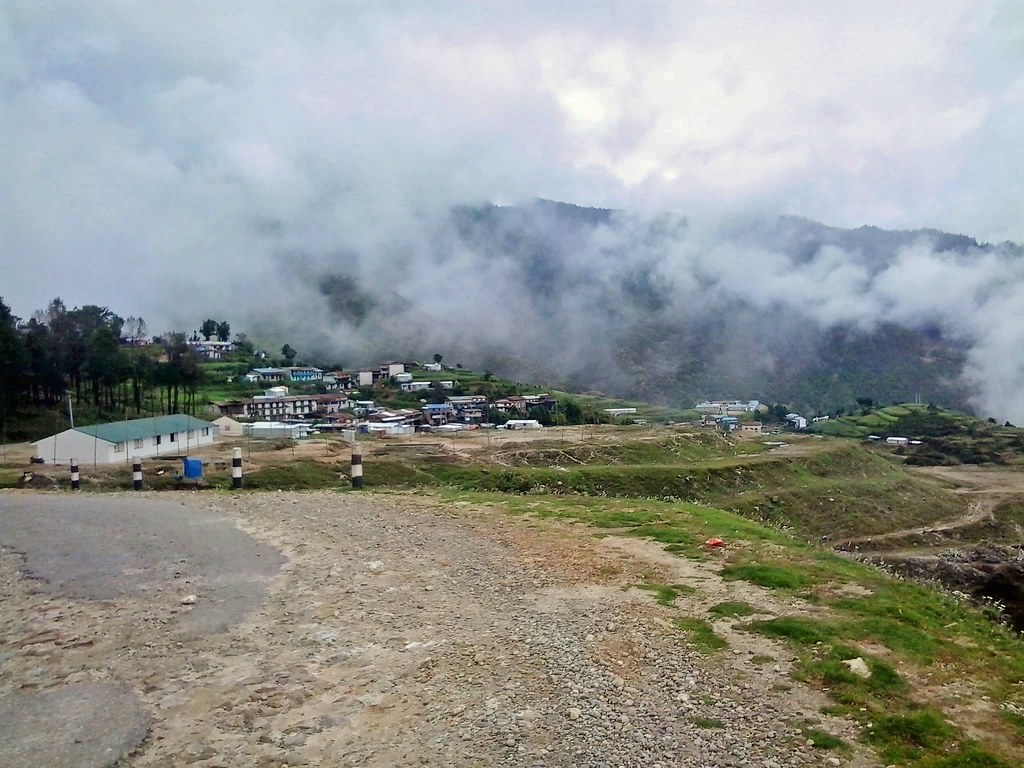
Nepal_Ziel der Wanderung eine Bushaltestelle_2061
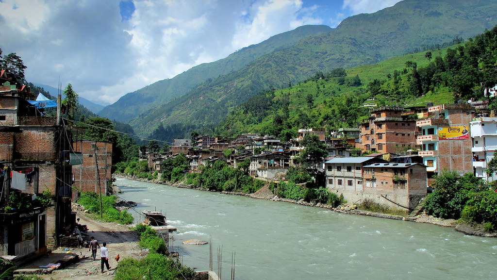
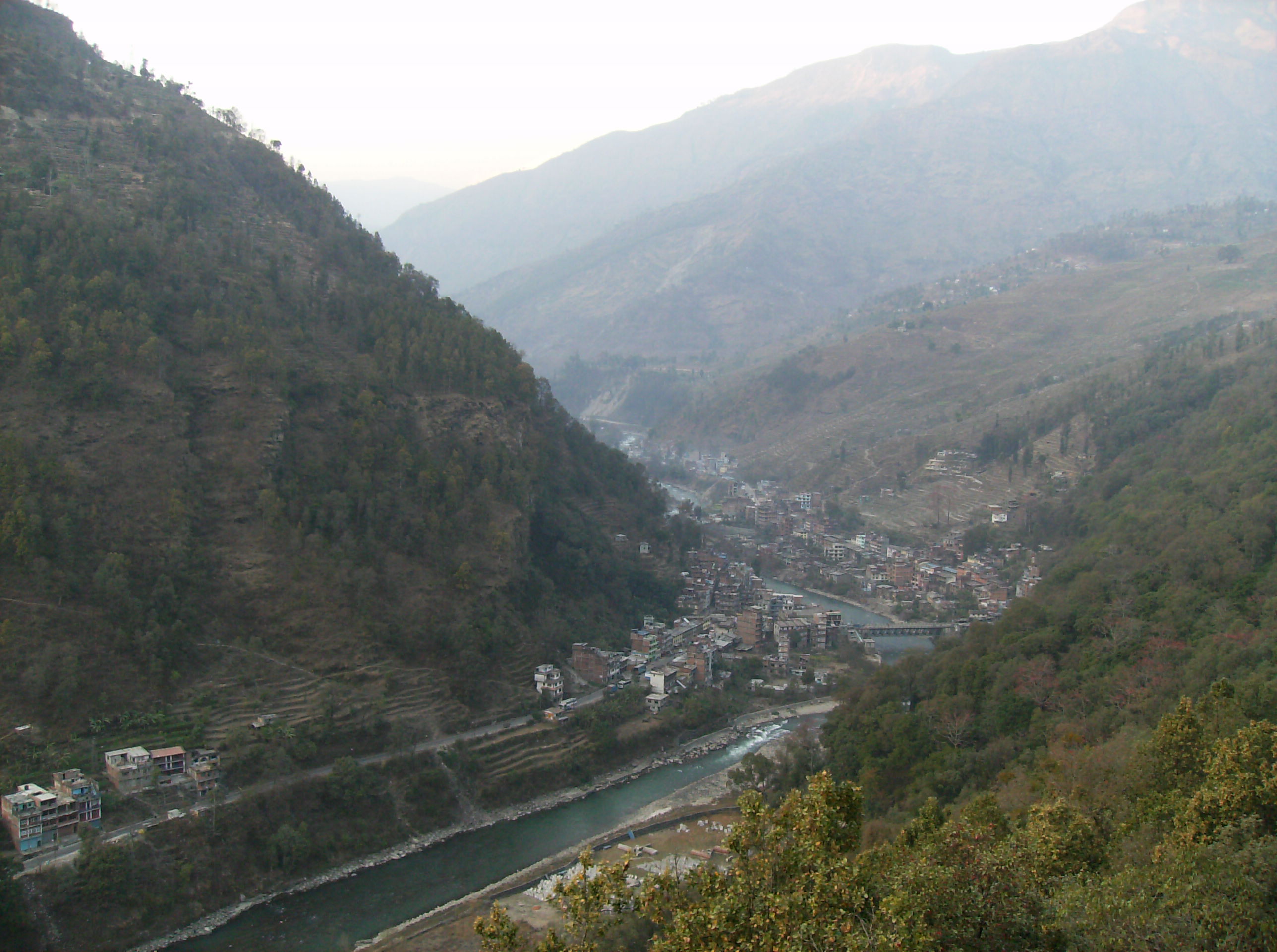
Barabhise and Bhote Kosi river
Topographic Map of Kuri Village, Nepal
Find elevation by address:

Places in Kuri Village, Nepal:
Places near Kuri Village, Nepal:
Kalinchok
Kalinchowk Bhagawati Temple
Ghorthali
Bhimeshwor Municipality
The Garden Palace Hotel
Sailung Village Hotel
Bahrabise
Dolakha
Dhunge Bazar
Dudhpokhari
The Last Resort
Gongar Bailey Bridge
Kodari
Jiri
Melung
Zhangmuzhen
Doramba
Tatopani
Khadadevi
Lamabagar
Recent Searches:
- Elevation of Corso Fratelli Cairoli, 35, Macerata MC, Italy
- Elevation of Tallevast Rd, Sarasota, FL, USA
- Elevation of 4th St E, Sonoma, CA, USA
- Elevation of Black Hollow Rd, Pennsdale, PA, USA
- Elevation of Oakland Ave, Williamsport, PA, USA
- Elevation of Pedrógão Grande, Portugal
- Elevation of Klee Dr, Martinsburg, WV, USA
- Elevation of Via Roma, Pieranica CR, Italy
- Elevation of Tavkvetili Mountain, Georgia
- Elevation of Hartfords Bluff Cir, Mt Pleasant, SC, USA