Elevation of Bhimeshwor Municipality, Nepal
Location: Nepal > Central Region > Janakpur >
Longitude: 86.0427626
Latitude: 27.6693233
Elevation: 2051m / 6729feet
Barometric Pressure: 79KPa
Elevation Map:
Satellite Map:
Related Photos:

View from Hindu temple in Dolakha

Good morning Charikot - once the mist clears, we should have an awesome view of the mountains #awesomenepal #dontforgetnepal #michaelallangrant

Charikot Bazaar as seen from the Bhimsen Temple area
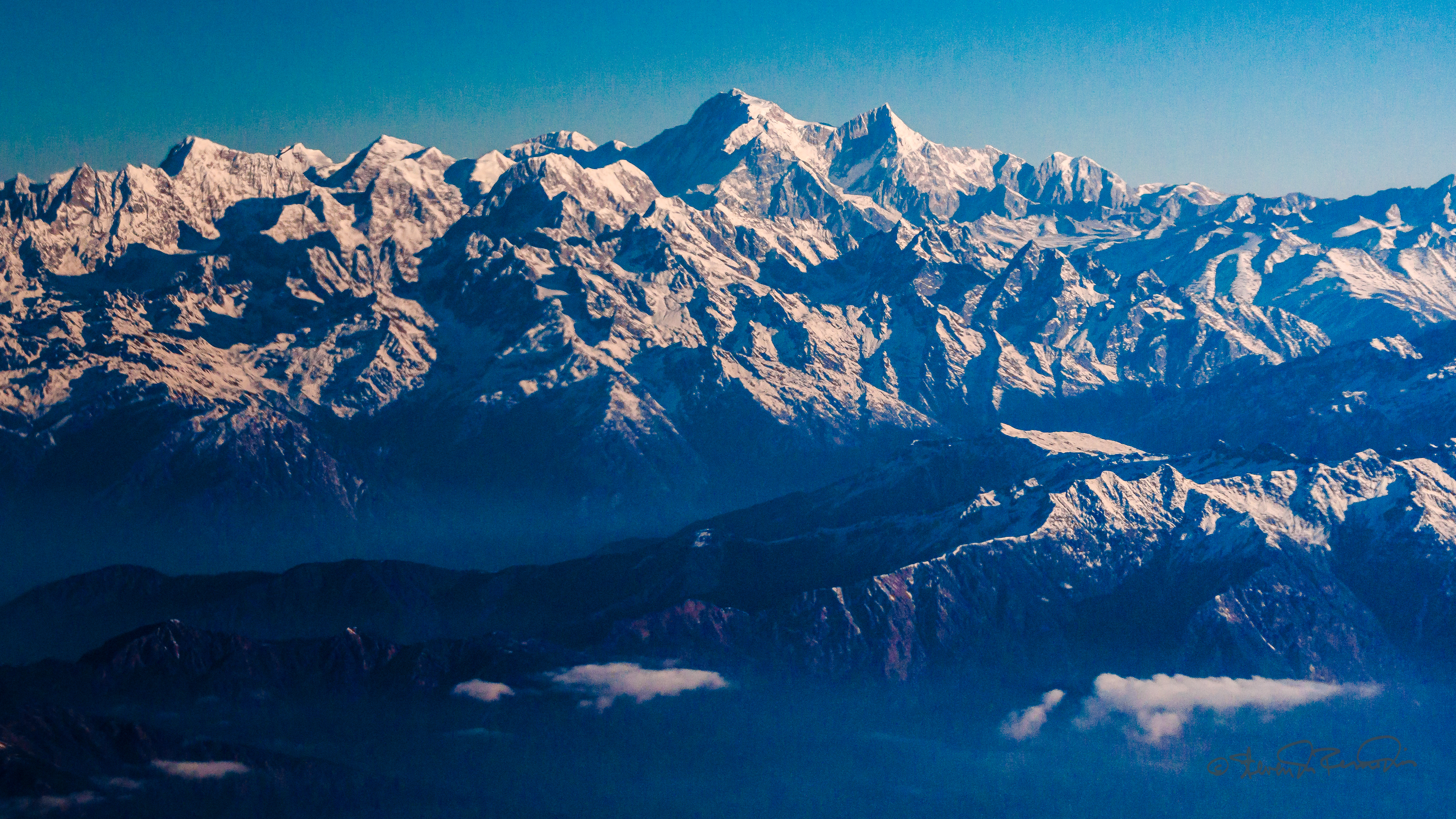
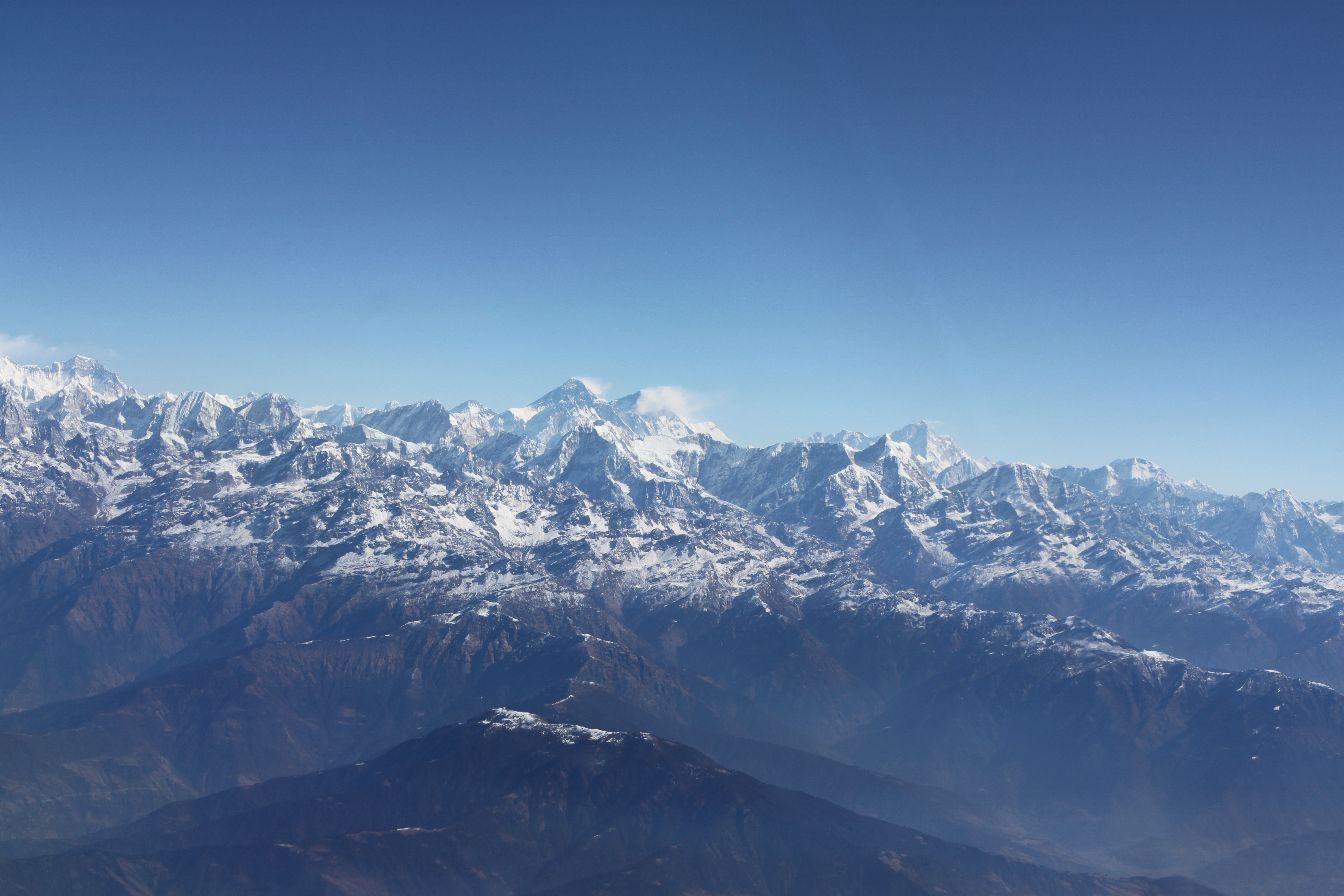
Himalaya Mountains

2012-01-15-07-33-59-Эверест_027

Trishuls in thin air

20090712-1

2016-03-17 09.44.40

Blick in Richtung tibetische Hochebene

Peak of Horseshoe Mountain, Nepal.
2012-01-15-07-34-07-Эверест_028

2012-10-17 08-32-07
Topographic Map of Bhimeshwor Municipality, Nepal
Find elevation by address:

Places near Bhimeshwor Municipality, Nepal:
The Garden Palace Hotel
Sailung Village Hotel
Kuri Village
Kalinchok
Kalinchowk Bhagawati Temple
Dhunge Bazar
Dudhpokhari
Ghorthali
Melung
Dolakha
Bahrabise
Doramba
Jiri
Khadadevi
Gongar Bailey Bridge
Khadadevi Mandir
The Last Resort
Shivalaya
Manthali
Kodari
Recent Searches:
- Elevation of Corso Fratelli Cairoli, 35, Macerata MC, Italy
- Elevation of Tallevast Rd, Sarasota, FL, USA
- Elevation of 4th St E, Sonoma, CA, USA
- Elevation of Black Hollow Rd, Pennsdale, PA, USA
- Elevation of Oakland Ave, Williamsport, PA, USA
- Elevation of Pedrógão Grande, Portugal
- Elevation of Klee Dr, Martinsburg, WV, USA
- Elevation of Via Roma, Pieranica CR, Italy
- Elevation of Tavkvetili Mountain, Georgia
- Elevation of Hartfords Bluff Cir, Mt Pleasant, SC, USA