Elevation map of Dolakha, Nepal
Location: Nepal > Central Region > Janakpur >
Longitude: 86.1751759
Latitude: 27.7784288
Elevation: 2089m / 6854feet
Barometric Pressure: 79KPa
Elevation Map:
Satellite Map:
Related Photos:

Trishuls in thin air
Its gonna get ugly
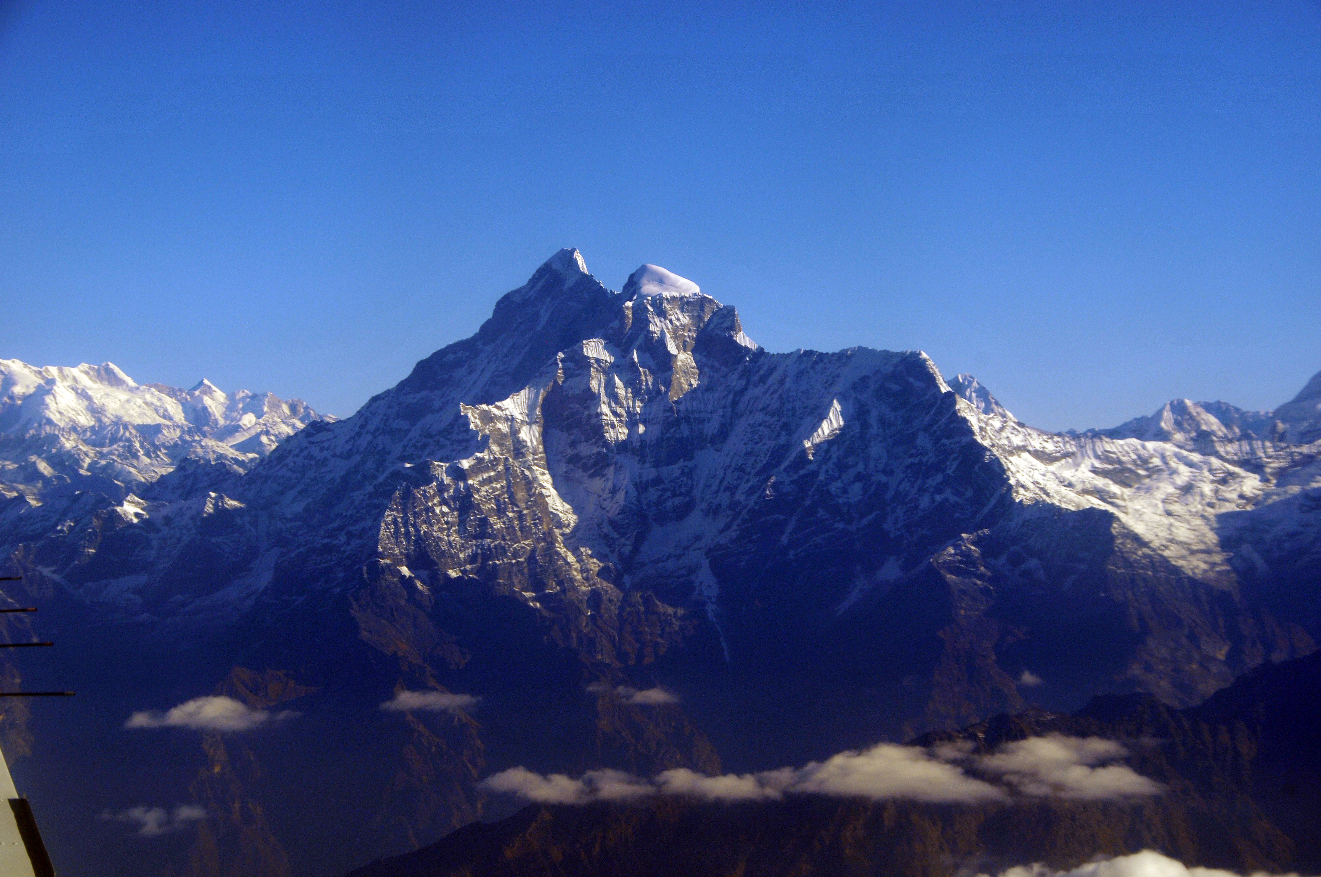
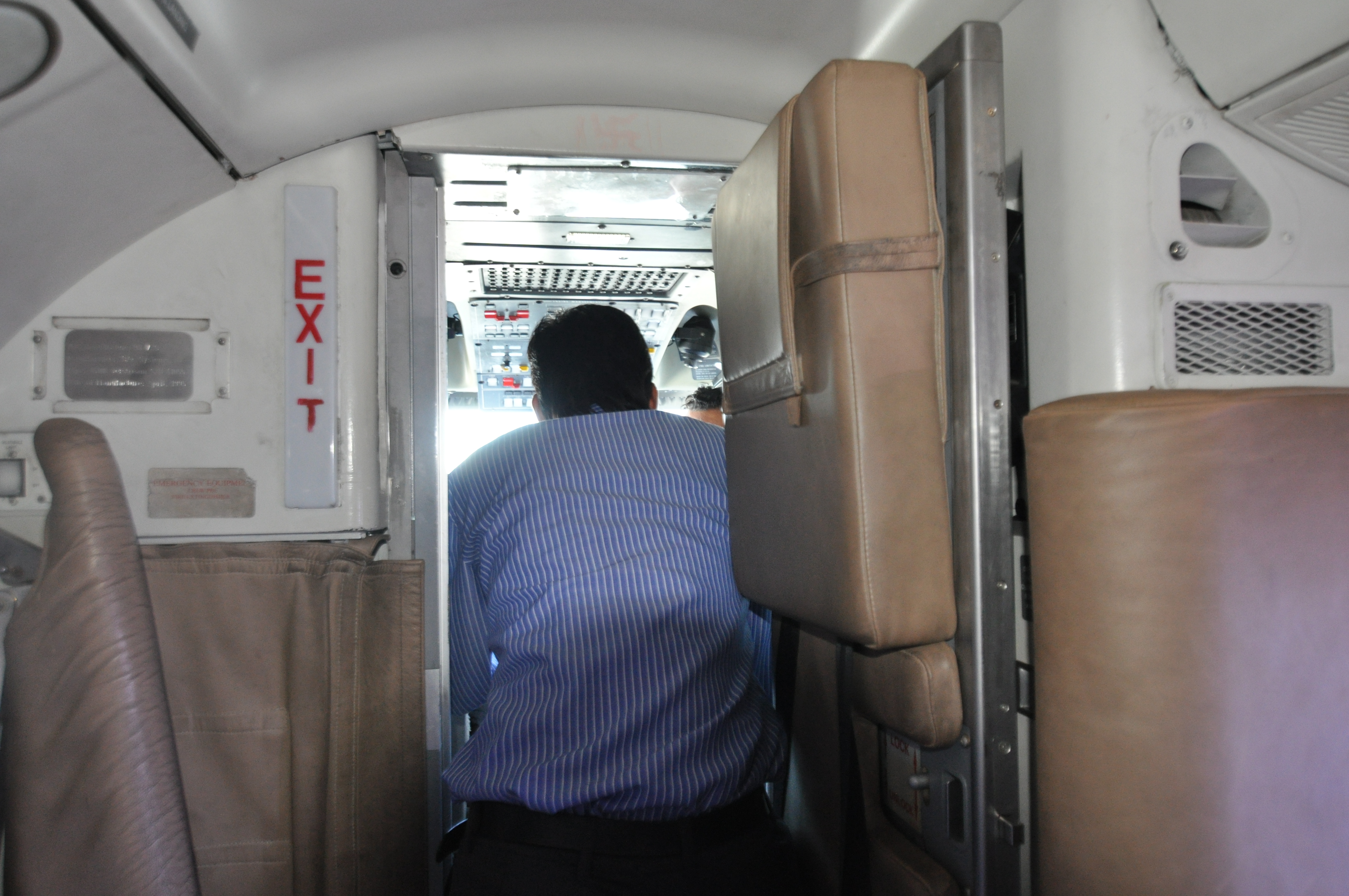
Himalaya aus dem Flugzeug 2
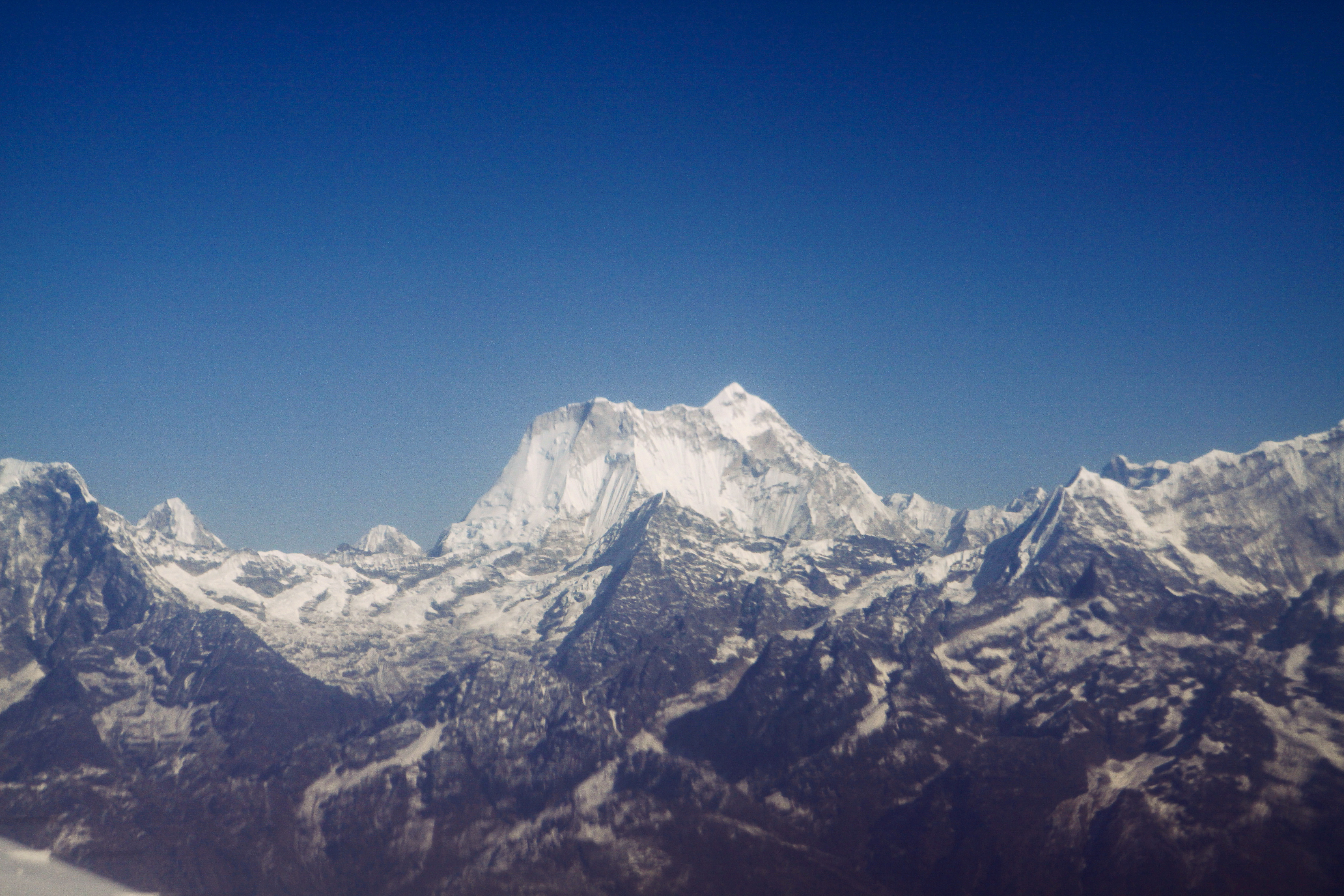
2012-01-15-07-46-53-Эверест_041
nature..
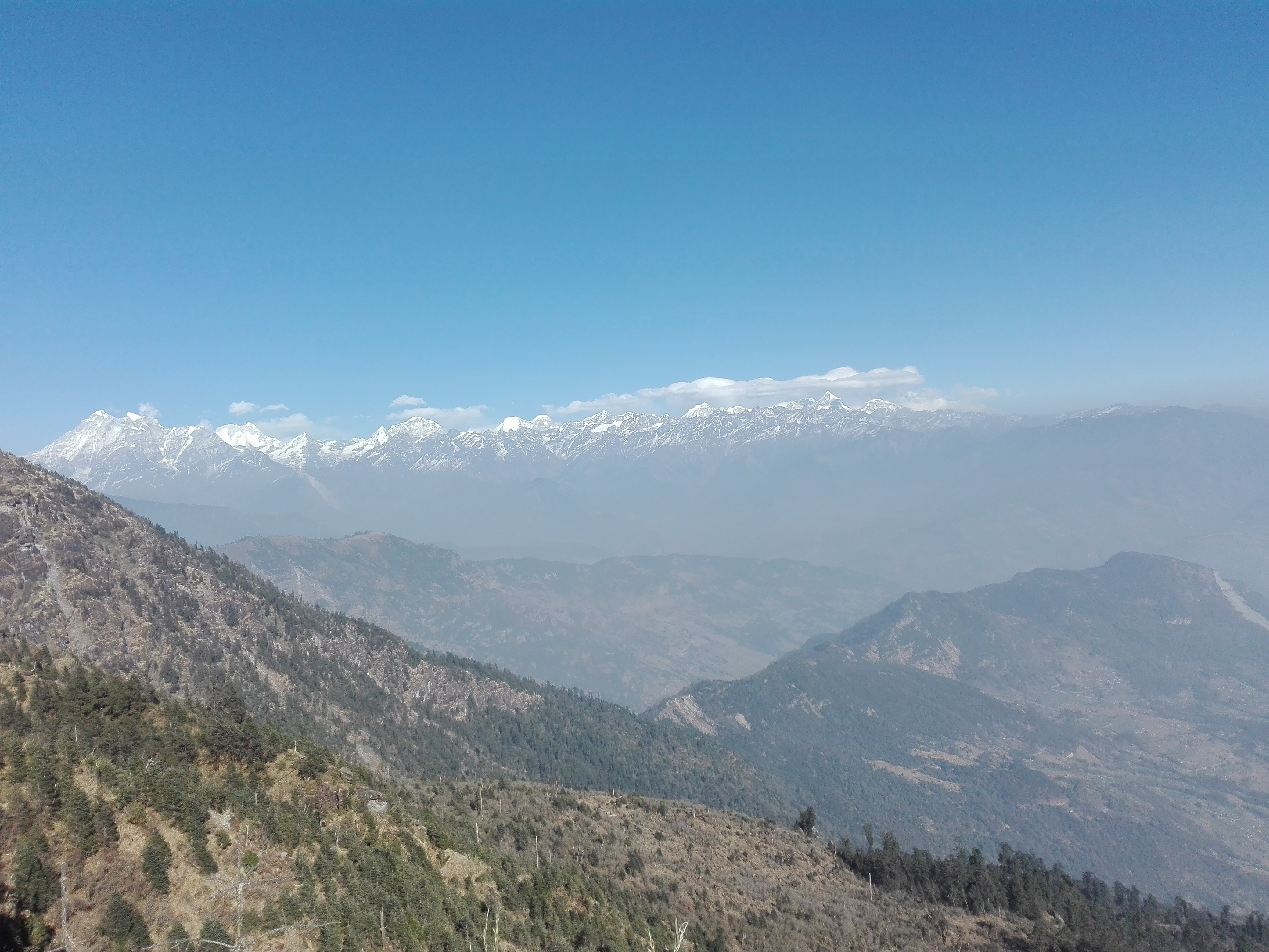
Nepal 140
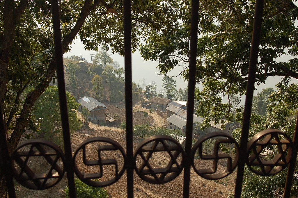
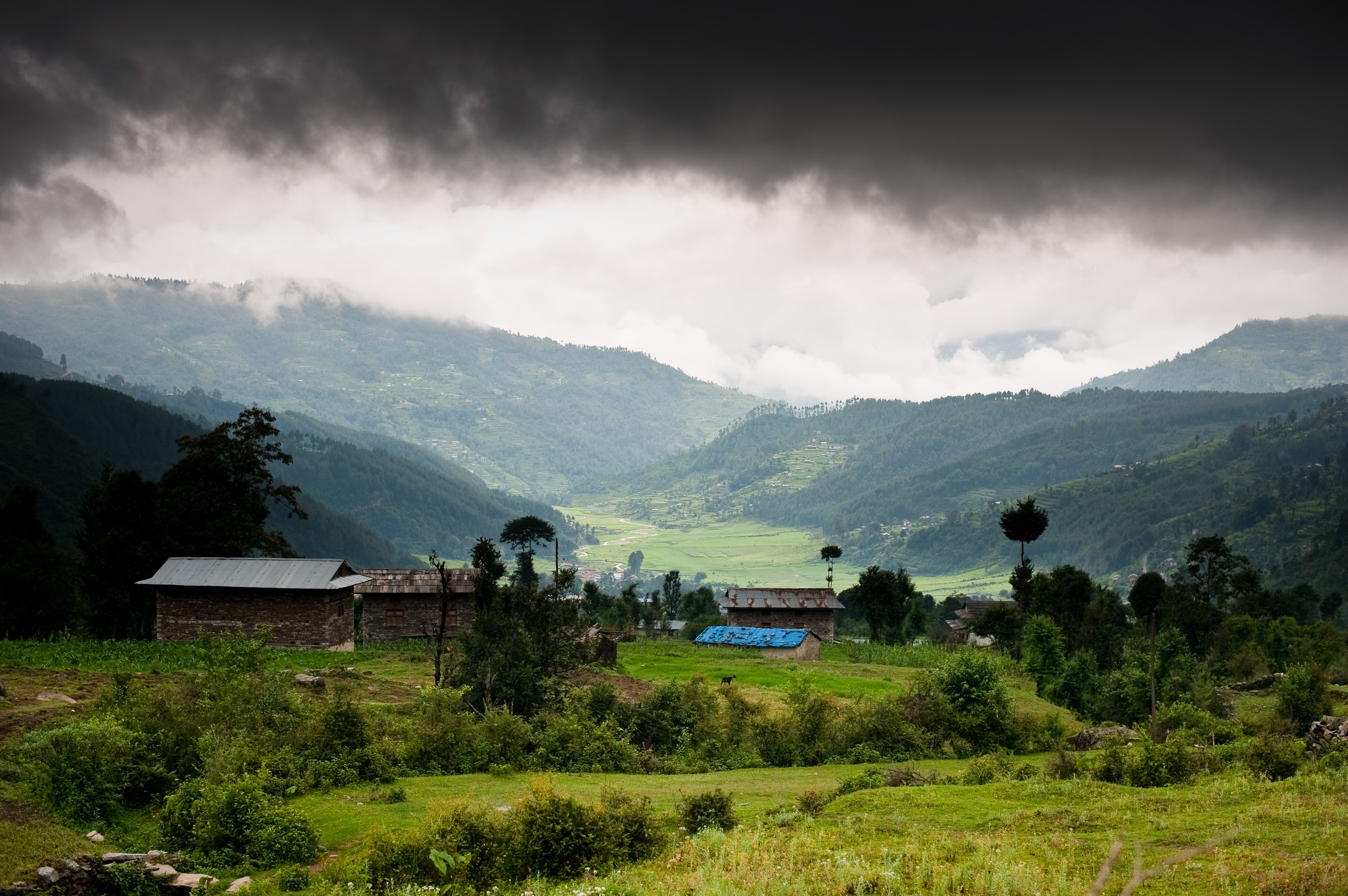
View from Hindu temple in Dolakha
Topographic Map of Dolakha, Nepal
Find elevation by address:

Places near Dolakha, Nepal:
Gongar Bailey Bridge
Kalinchowk Bhagawati Temple
Kalinchok
Kuri Village
Jiri
Bhimeshwor Municipality
Sailung Village Hotel
Ghorthali
The Garden Palace Hotel
Unnamed Road
Shivalaya
Lamabagar
Gauri Sankar
Bahrabise
Bhandar
Dhunge Bazar
Zhangmuzhen
Melung
Kodari
Dudhpokhari
Recent Searches:
- Elevation of Corso Fratelli Cairoli, 35, Macerata MC, Italy
- Elevation of Tallevast Rd, Sarasota, FL, USA
- Elevation of 4th St E, Sonoma, CA, USA
- Elevation of Black Hollow Rd, Pennsdale, PA, USA
- Elevation of Oakland Ave, Williamsport, PA, USA
- Elevation of Pedrógão Grande, Portugal
- Elevation of Klee Dr, Martinsburg, WV, USA
- Elevation of Via Roma, Pieranica CR, Italy
- Elevation of Tavkvetili Mountain, Georgia
- Elevation of Hartfords Bluff Cir, Mt Pleasant, SC, USA