Elevation of Doramba, Nepal
Location: Nepal > Central Region > Janakpur >
Longitude: 85.9355648
Latitude: 27.5197676
Elevation: 2181m / 7155feet
Barometric Pressure: 78KPa
Elevation Map:
Satellite Map:
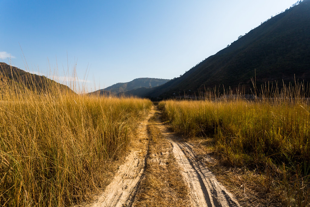
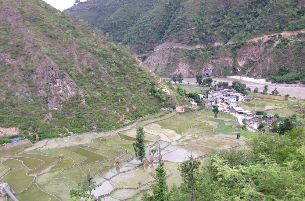
Related Photos:
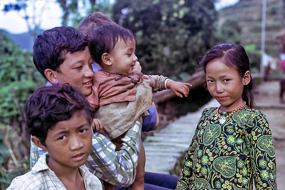
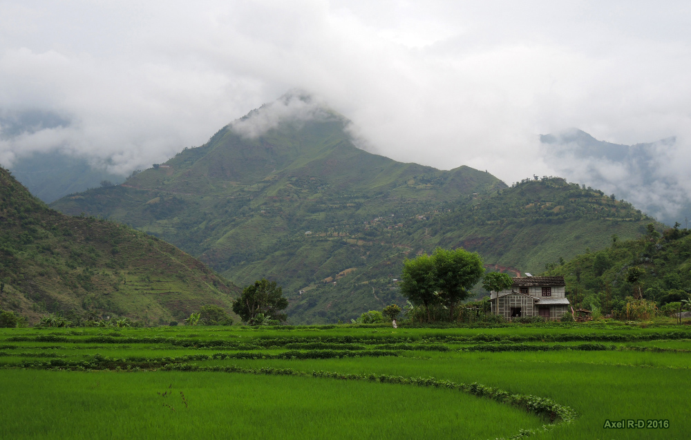
Lisankhu Children 1973
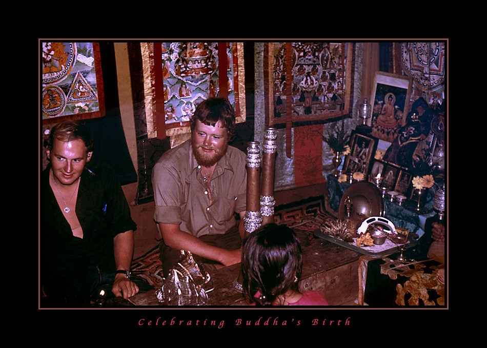
Celebrating Buddha's Birth
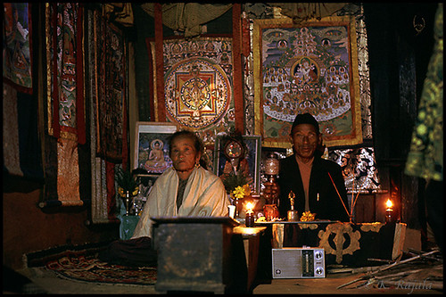
Lisankhu Celebration
BP Highway H06 near Rakathum Nepal 23 februari 2018
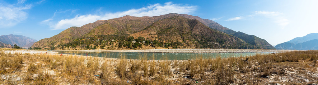
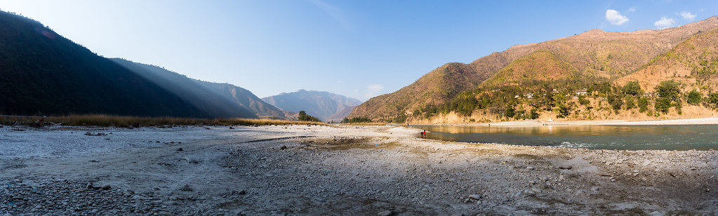
Sindhuli road - Nepal
Blick in Richtung tibetische Hochebene

One of the best road in Nepal, B.P Highway.
Operation Orion 2016
Operation Orion 2016
Operation Orion 2016

Sindhuli road - Nepal

2012-10-17 08-32-07

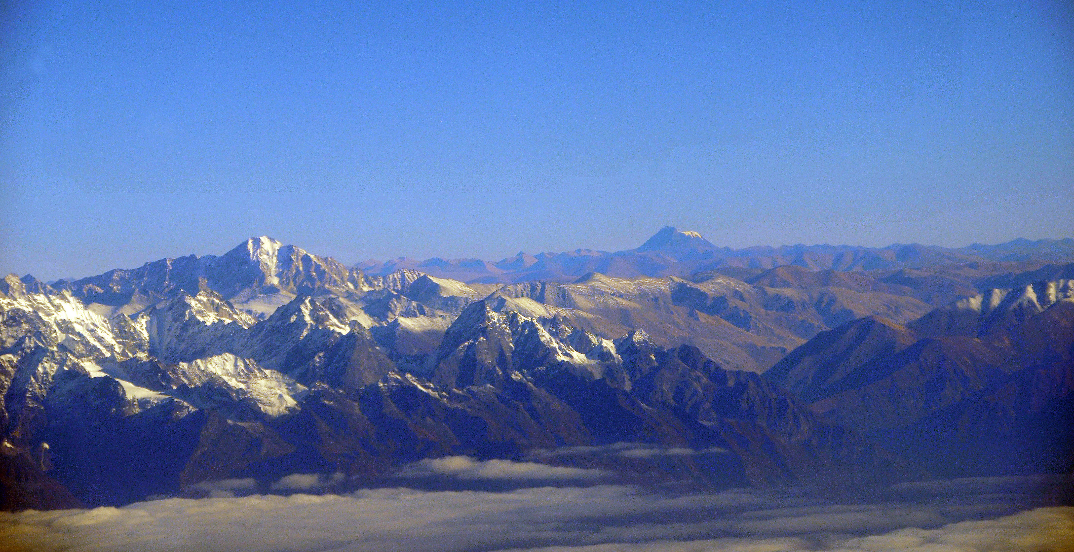
Himalaya Mountains
Visit by AP to Panchakanya primary school, Ramechhap district, July 25-28

2012-01-15-07-34-07-Эверест_028
Topographic Map of Doramba, Nepal
Find elevation by address:

Places near Doramba, Nepal:
Khadadevi
Khadadevi Mandir
Dudhpokhari
Dhunge Bazar
Melung
The Garden Palace Hotel
Sailung Village Hotel
Manthali
Bhimeshwor Municipality
Majhuwa
Bhadrakali
Kuri Village
Kalinchok
Kalinchowk Bhagawati Temple
Ramechhap
Ramechhap
Sindhuli
Ghorthali
Bahrabise
Jiri
Recent Searches:
- Elevation of Corso Fratelli Cairoli, 35, Macerata MC, Italy
- Elevation of Tallevast Rd, Sarasota, FL, USA
- Elevation of 4th St E, Sonoma, CA, USA
- Elevation of Black Hollow Rd, Pennsdale, PA, USA
- Elevation of Oakland Ave, Williamsport, PA, USA
- Elevation of Pedrógão Grande, Portugal
- Elevation of Klee Dr, Martinsburg, WV, USA
- Elevation of Via Roma, Pieranica CR, Italy
- Elevation of Tavkvetili Mountain, Georgia
- Elevation of Hartfords Bluff Cir, Mt Pleasant, SC, USA