Elevation map of Sindhuli, Nepal
Location: Nepal > Central Region > Janakpur >
Longitude: 85.971322
Latitude: 27.2568824
Elevation: 1273m / 4176feet
Barometric Pressure: 87KPa
Elevation Map:
Satellite Map:
Related Photos:
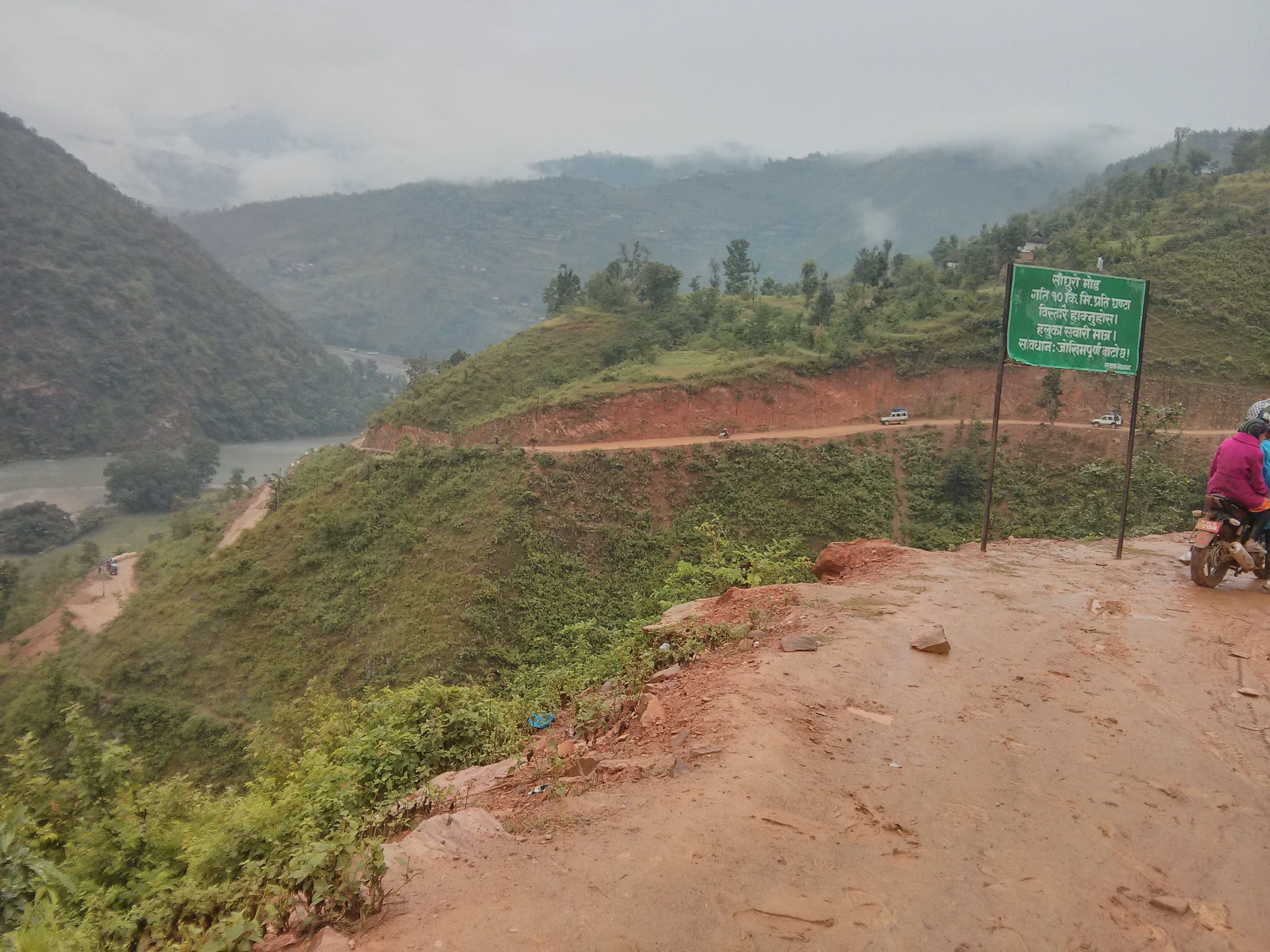
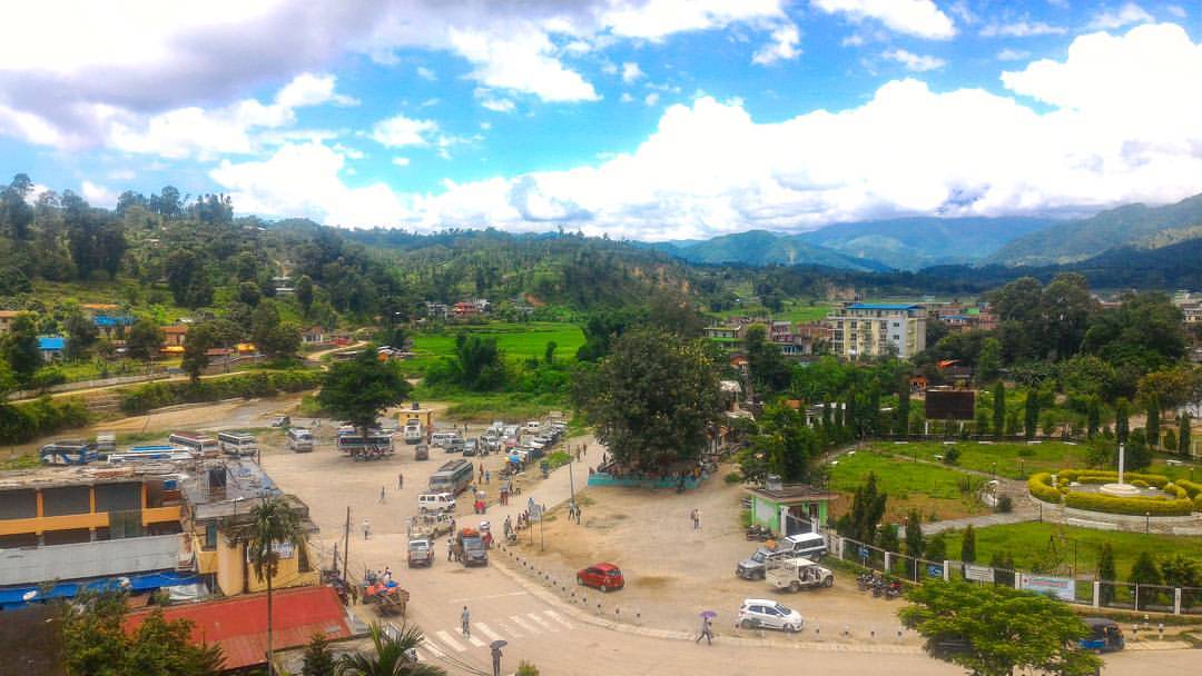
#Sky, #Green and #Houses... A visit to Sindhuli made me wish that the valley remain green for long and not be covered in concrete... Will it be fulfilled? #InstaNepal #NepalTravels

MJ1_8089.jpg
MJ1_8088.jpg
MJ1_8087.jpg
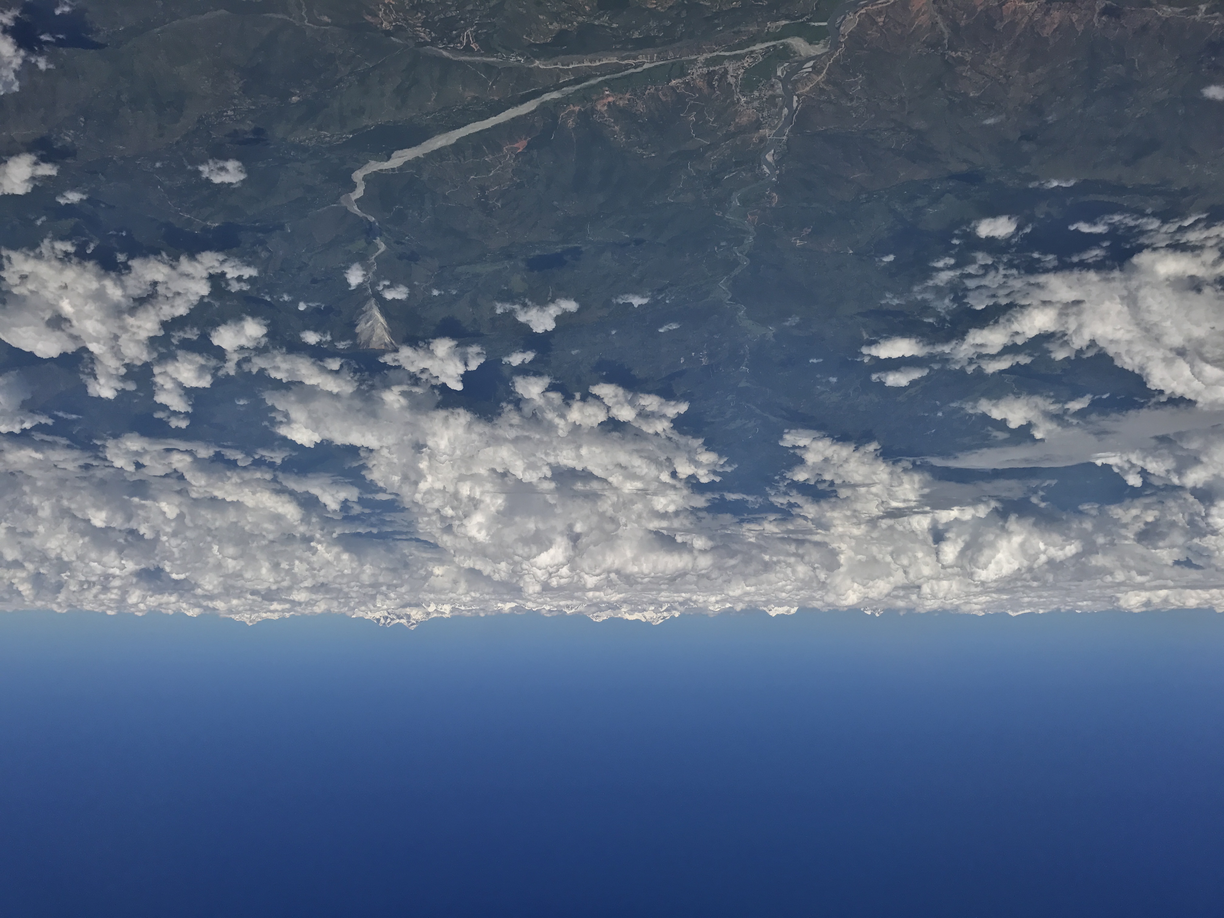
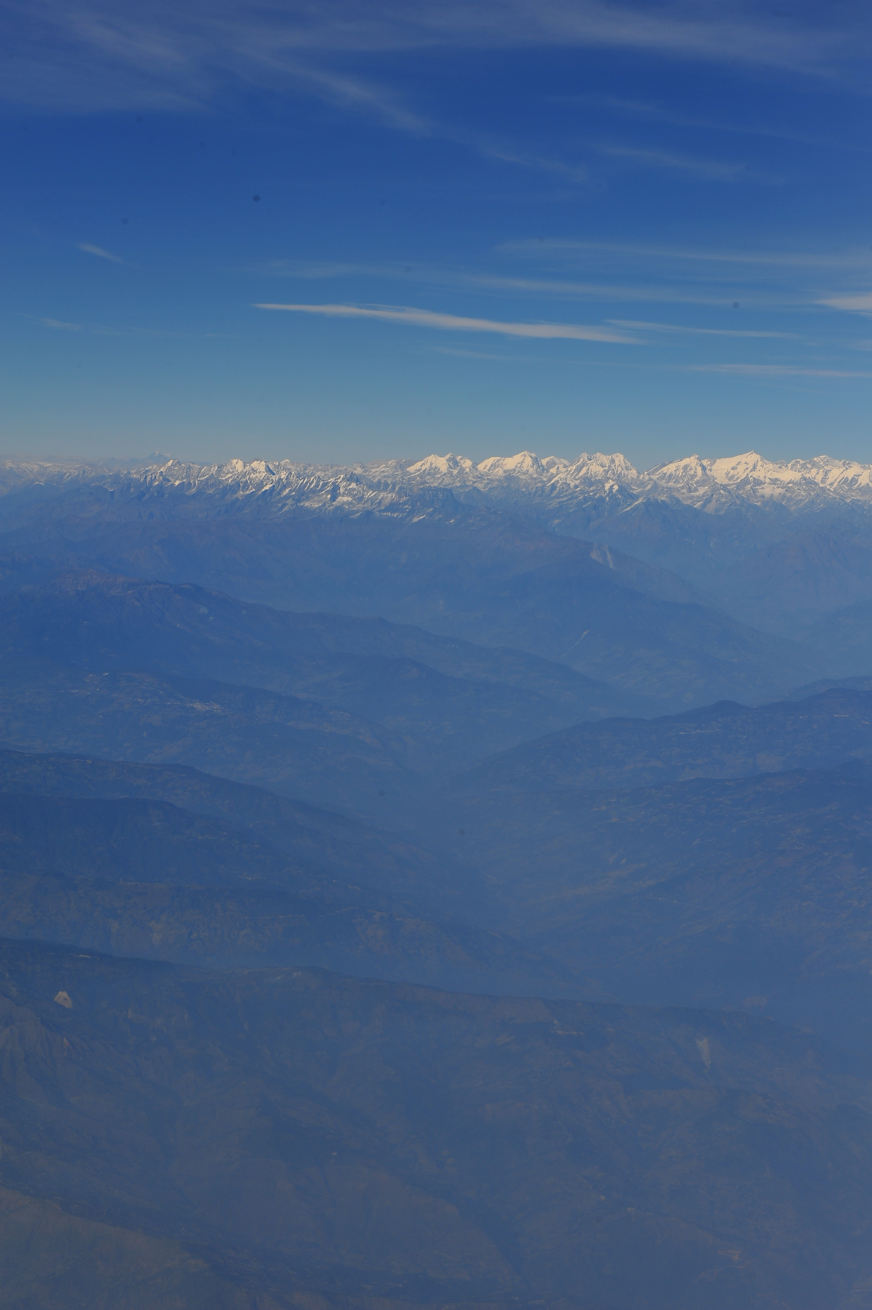
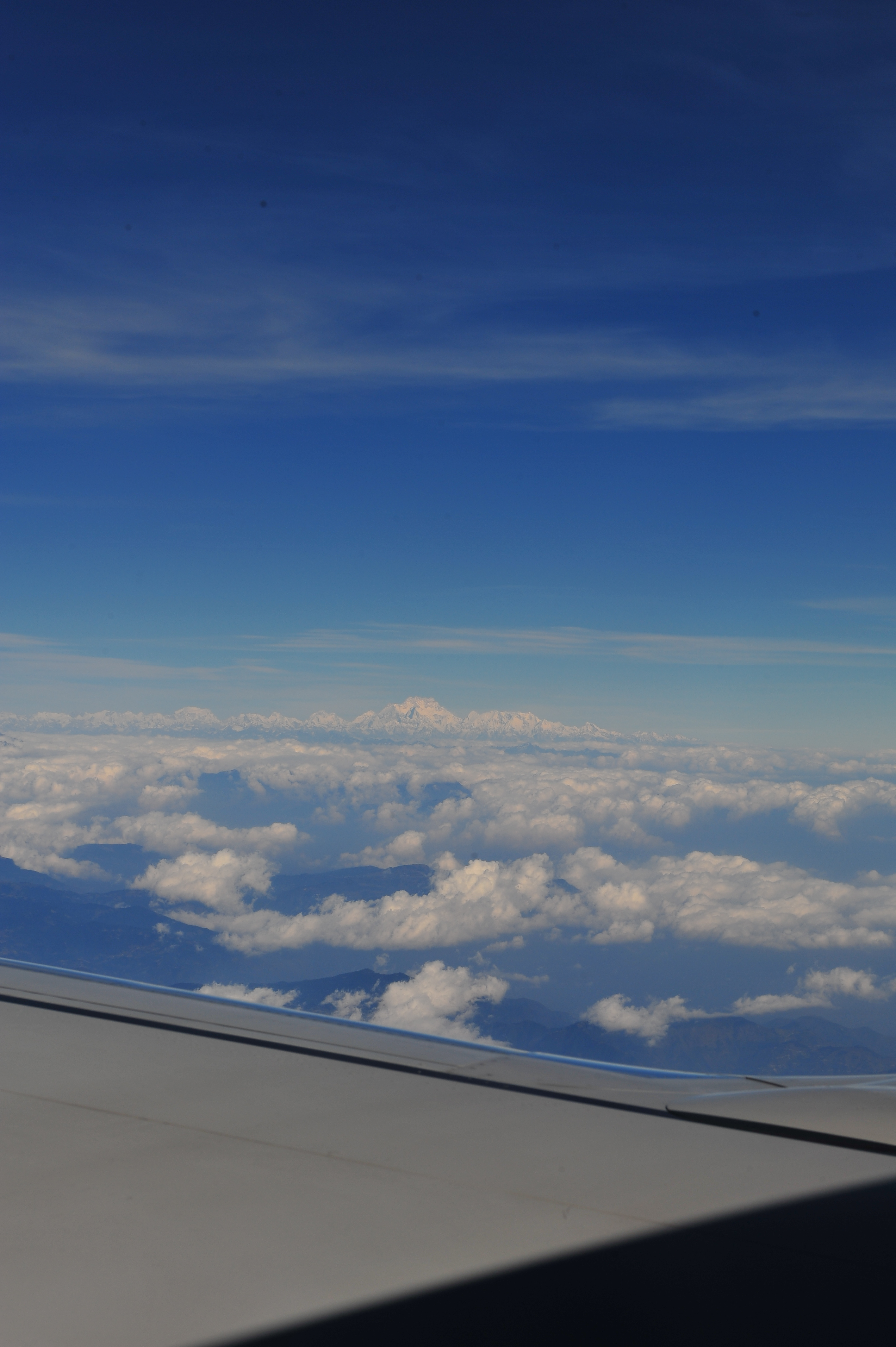
Mt. Everest and neighbors, again
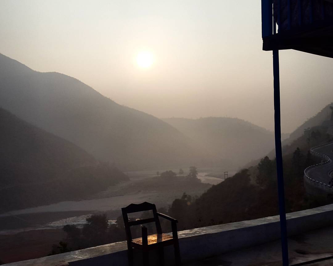
Slept outside in the #himalayas, this was when the #morninghasbroken ... GOOD MORNING WORLD! Follow me around the world! Www.55000km.com #cyclingdutch #amazing #people #thankyou #Nepal

Broken car
Topographic Map of Sindhuli, Nepal
Find elevation by address:

Places near Sindhuli, Nepal:
Bhadrakali
Janakpur
Kamalamai Nagarpalika
Majhuwa
Ranichuri
Kamalamai
Ramechhap
Dadiguranshe
Manthali
Ramechhap
Khadadevi Mandir
Ranibas
Khadadevi
Bardibas
Bahuntilpung
Doramba
Melung
Singhadevi
Dhunge Bazar
Dudhpokhari
Recent Searches:
- Elevation of Corso Fratelli Cairoli, 35, Macerata MC, Italy
- Elevation of Tallevast Rd, Sarasota, FL, USA
- Elevation of 4th St E, Sonoma, CA, USA
- Elevation of Black Hollow Rd, Pennsdale, PA, USA
- Elevation of Oakland Ave, Williamsport, PA, USA
- Elevation of Pedrógão Grande, Portugal
- Elevation of Klee Dr, Martinsburg, WV, USA
- Elevation of Via Roma, Pieranica CR, Italy
- Elevation of Tavkvetili Mountain, Georgia
- Elevation of Hartfords Bluff Cir, Mt Pleasant, SC, USA