Elevation of Bahuntilpung, Nepal
Location: Nepal > Central Region > Janakpur >
Longitude: 86.2
Latitude: 27.15
Elevation: 1383m / 4537feet
Barometric Pressure: 86KPa
Elevation Map:
Satellite Map:
Related Photos:

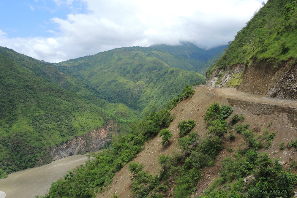
Sunkoshi river

Sunkoshi river

Sindhuli Road - Nepal

Sindhuli Road - Nepal
Sunkoshi river
Topographic Map of Bahuntilpung, Nepal
Find elevation by address:

Places near Bahuntilpung, Nepal:
Singhadevi
Ramechhap
Janakpur
Ghurmi
Ranibas
Ramechhap
Toksel
Ranichuri
Mulkharka
Rasuwa
Sindhuli
Katari
Manthali
Okhaldhunga
Kamalamai Nagarpalika
Kamalamai
Majhuwa
Bhadrakali
Siddhicharan
Bardibas
Recent Searches:
- Elevation of Corso Fratelli Cairoli, 35, Macerata MC, Italy
- Elevation of Tallevast Rd, Sarasota, FL, USA
- Elevation of 4th St E, Sonoma, CA, USA
- Elevation of Black Hollow Rd, Pennsdale, PA, USA
- Elevation of Oakland Ave, Williamsport, PA, USA
- Elevation of Pedrógão Grande, Portugal
- Elevation of Klee Dr, Martinsburg, WV, USA
- Elevation of Via Roma, Pieranica CR, Italy
- Elevation of Tavkvetili Mountain, Georgia
- Elevation of Hartfords Bluff Cir, Mt Pleasant, SC, USA