Elevation map of Koochiching County, MN, USA
Location: United States > Minnesota >
Longitude: -93.648322
Latitude: 48.1816012
Elevation: 378m / 1240feet
Barometric Pressure: 97KPa
Elevation Map:
Satellite Map:
Related Photos:
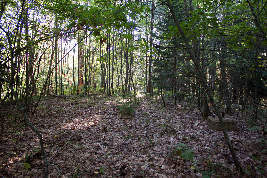
IMG_2887 Day Lake

Big Falls

Big Falls and trestle

another shot of Big Falls
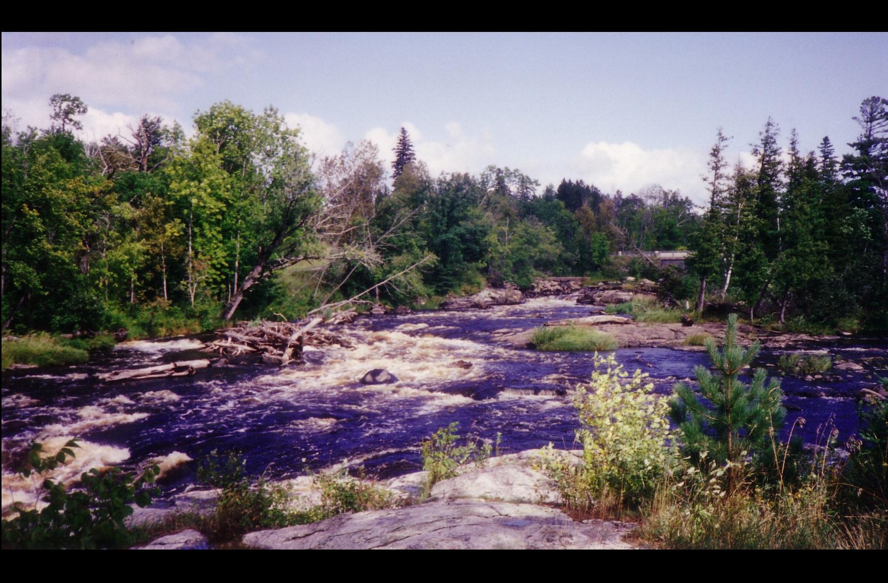
Big Fork R- Grand Falls MN 4

Big Falls MN

looking at Big Falls

Grunwald Access on map

Andrew Graefe
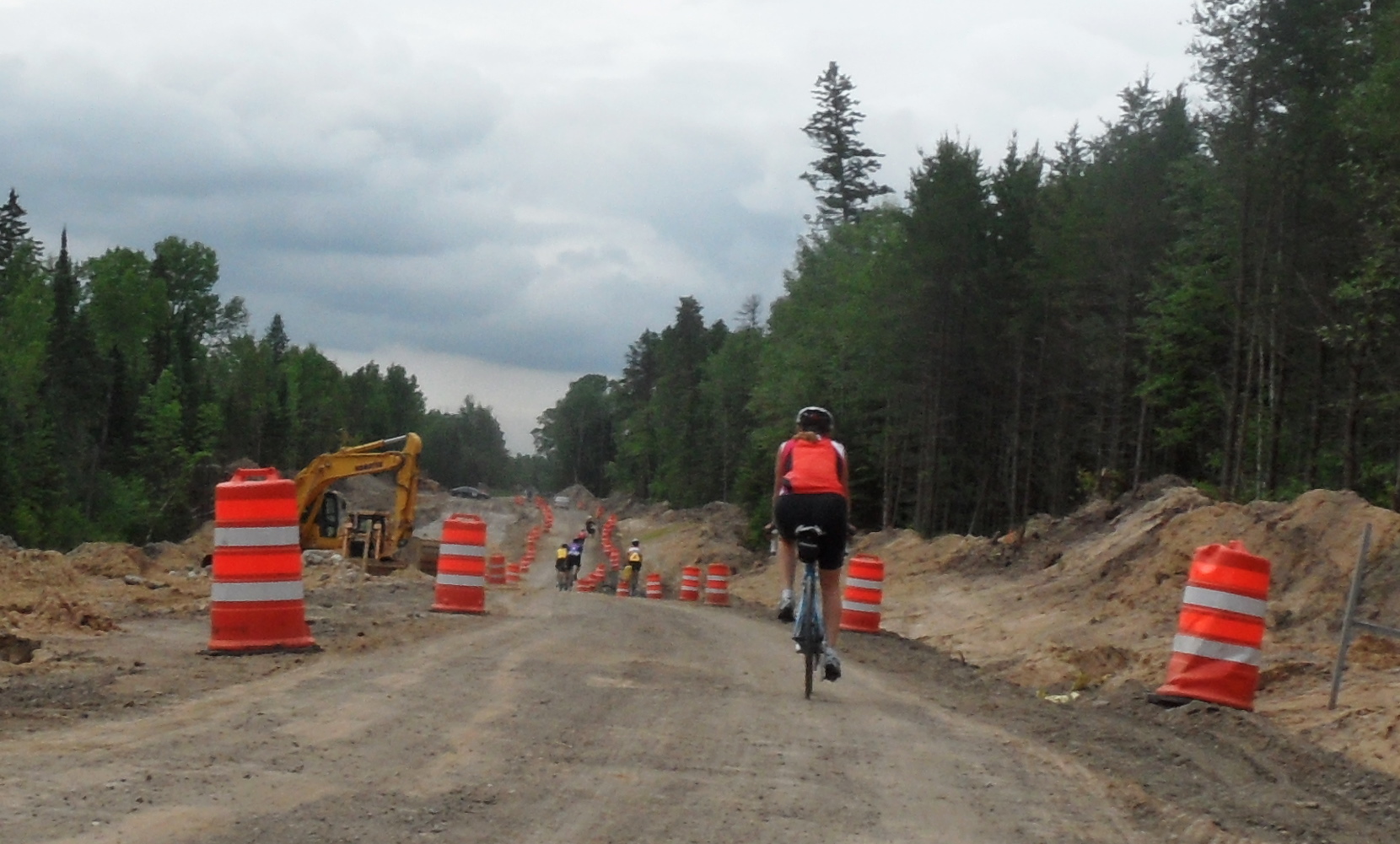
SAM_2103 (1)construction
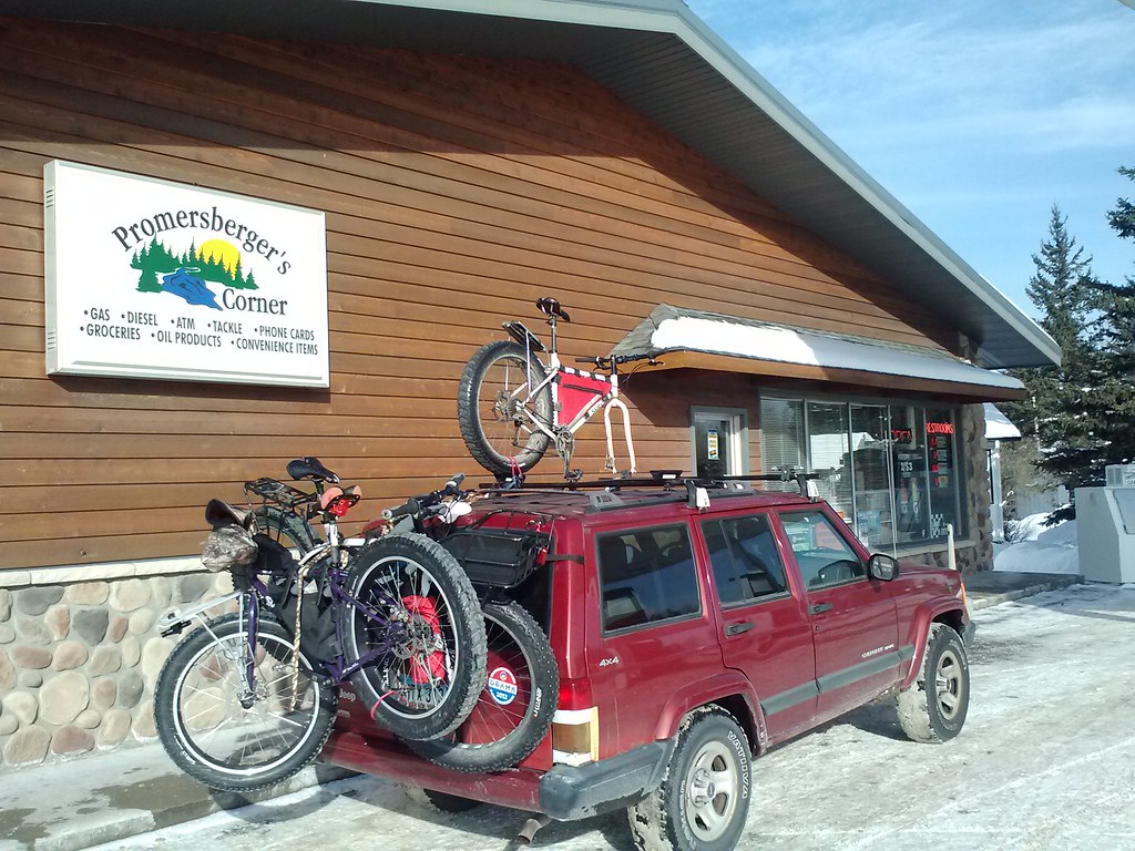
2013-01-27 11.22.28
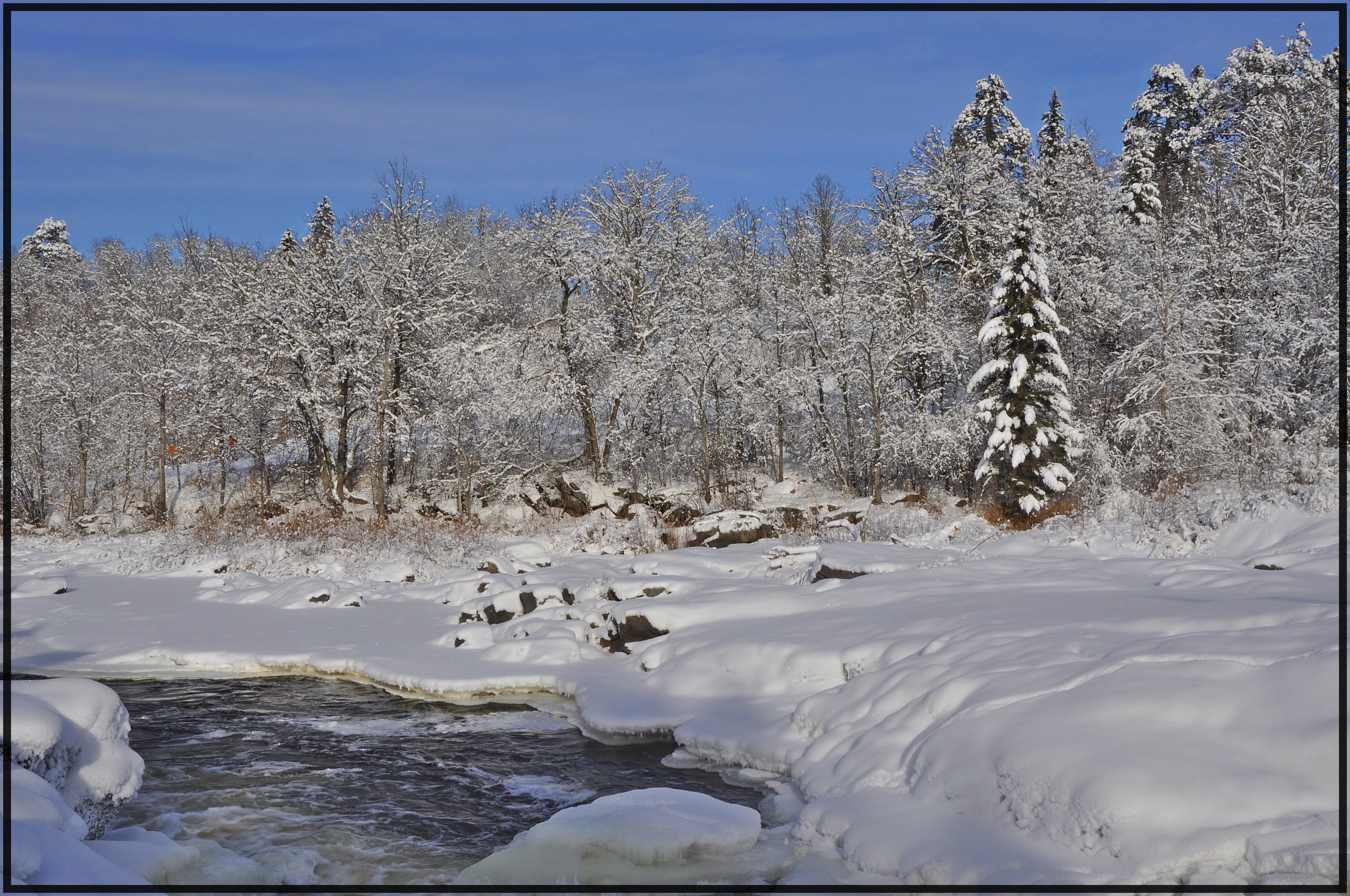
Big Falls Rapids

Big Falls
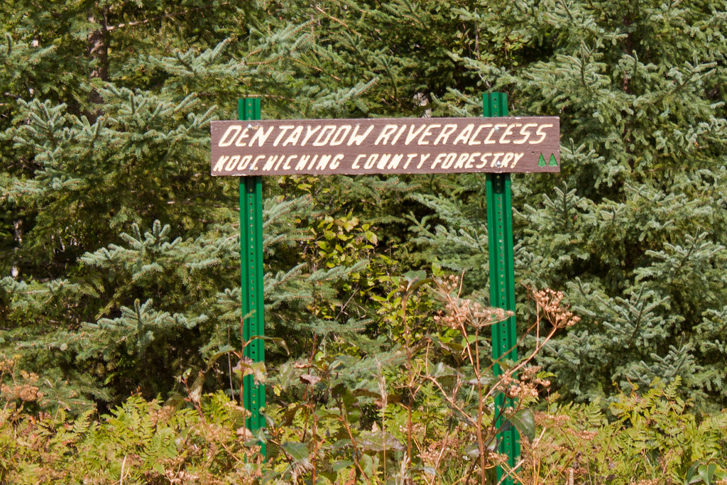
IMG_3057 Dentaybow
IMG_3055 Dentaybow
IMG_2975 Big Falls
IMG_294 Plum Creek9
IMG_2935 Stokes
IMG_2930 Stokes
IMG_2885 Day Lake

KornerKIng video
Topographic Map of Koochiching County, MN, USA
Find elevation by address:

Places in Koochiching County, MN, USA:
South Koochiching
Big Falls
Co Rd, Loman, MN, USA
Co Rd, International Falls, MN, USA
W Co Rd 17, Mizpah, MN, USA
4th St, International Falls, MN, USA
Main St, Littlefork, MN, USA
Pleasant St, Mizpah, MN, USA
Little Fork River
Rainy Lake
Littlefork
Places near Koochiching County, MN, USA:
South Koochiching
2nd St NW, Big Falls, MN, USA
Big Falls
Littlefork Baptist Church
Littlefork
Main St, Littlefork, MN, USA
Little Fork River
Deer Rd, Margie, MN, USA
Effie
MN-1, Effie, MN, USA
Effie
County Road 236
Old School Road
Rainy Lake
Co Rd 27, Northome, MN, USA
Alberton
County Road 106
Emo
1148 Trans-canada Hwy
811 6th St
Recent Searches:
- Elevation of Corso Fratelli Cairoli, 35, Macerata MC, Italy
- Elevation of Tallevast Rd, Sarasota, FL, USA
- Elevation of 4th St E, Sonoma, CA, USA
- Elevation of Black Hollow Rd, Pennsdale, PA, USA
- Elevation of Oakland Ave, Williamsport, PA, USA
- Elevation of Pedrógão Grande, Portugal
- Elevation of Klee Dr, Martinsburg, WV, USA
- Elevation of Via Roma, Pieranica CR, Italy
- Elevation of Tavkvetili Mountain, Georgia
- Elevation of Hartfords Bluff Cir, Mt Pleasant, SC, USA