Elevation of Deer Rd, Margie, MN, USA
Location: United States > Minnesota > Koochiching County > South Koochiching >
Longitude: -93.939686
Latitude: 48.095323
Elevation: 387m / 1270feet
Barometric Pressure: 97KPa
Elevation Map:
Satellite Map:
Related Photos:
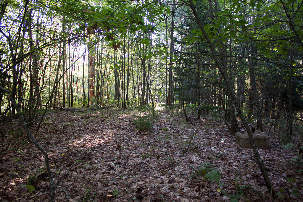
IMG_2887 Day Lake

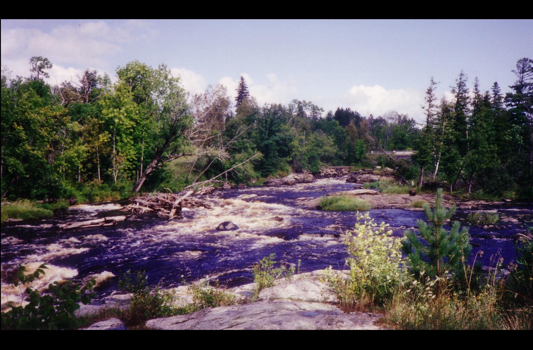
Big Falls

Big Falls and trestle

another shot of Big Falls

looking at Big Falls

Grunwald Access on map

Renka a Mirka
2013-01-27 11.22.28
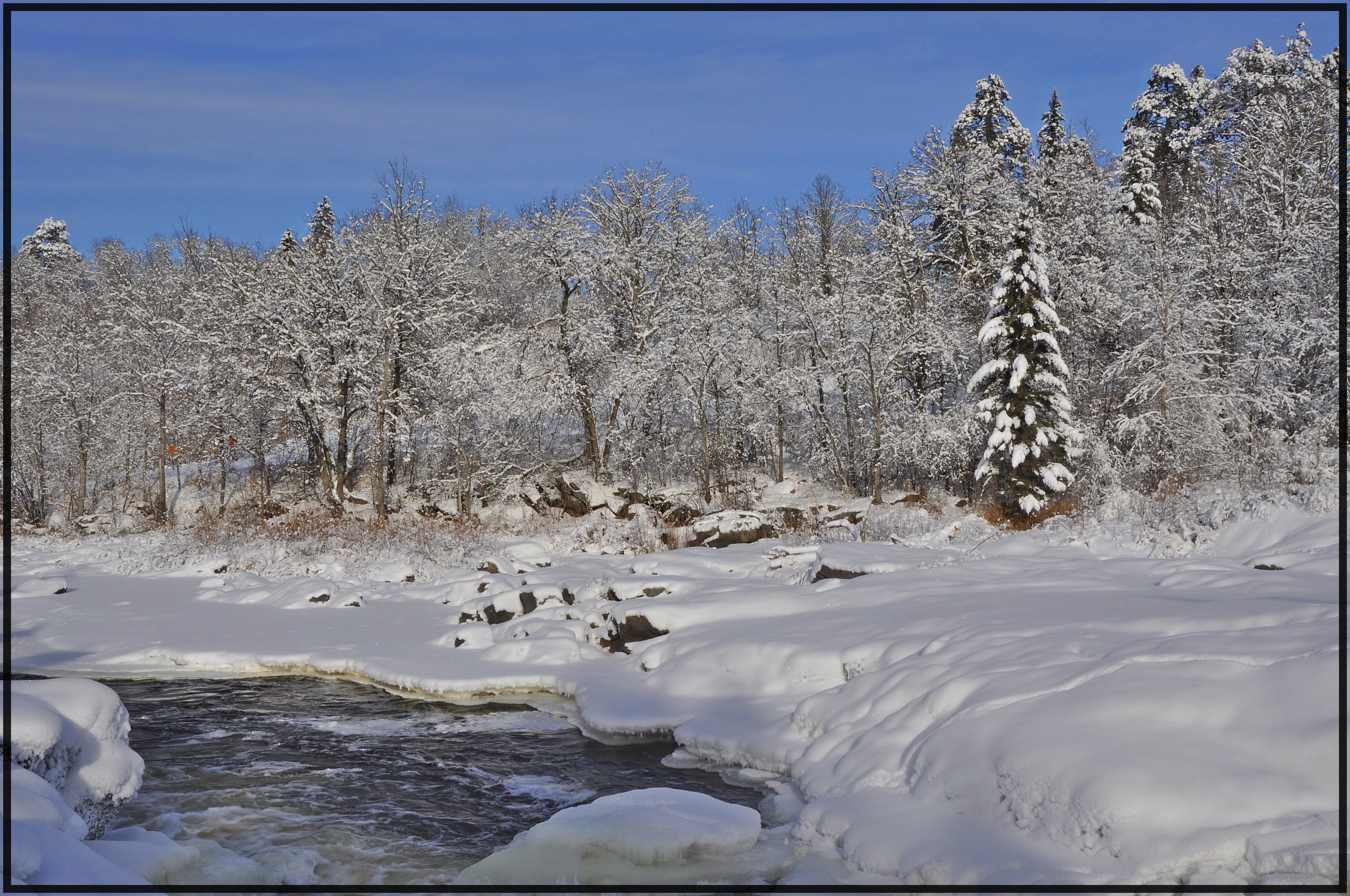
Big Falls Rapids

Big Falls
IMG_2975 Big Falls
IMG_294 Plum Creek9
IMG_2935 Stokes
IMG_2930 Stokes
IMG_2885 Day Lake

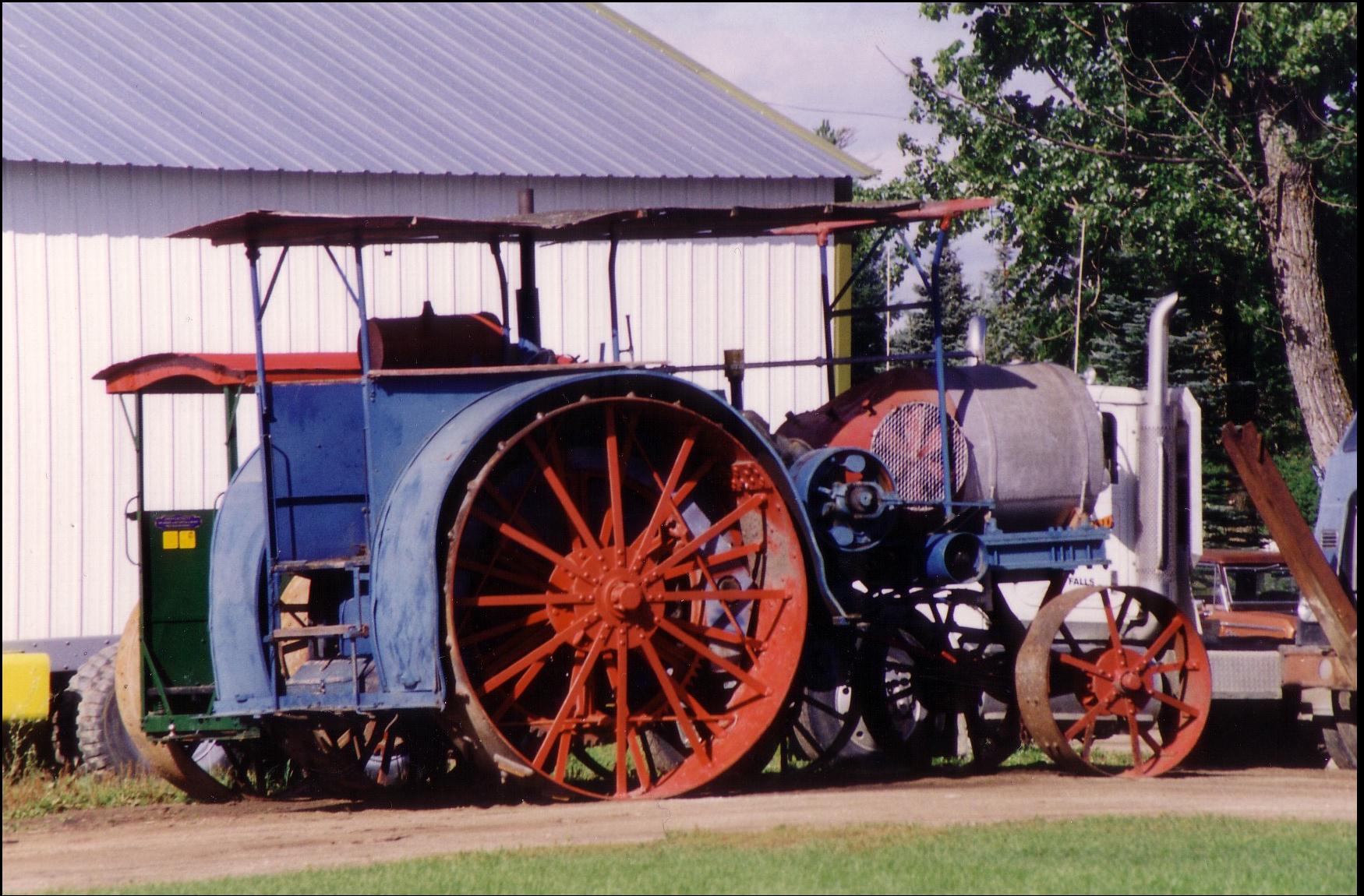
KornerKIng video
Big Fork R- Grand Falls MN 4
Big Falls MN
Topographic Map of Deer Rd, Margie, MN, USA
Find elevation by address:

Places near Deer Rd, Margie, MN, USA:
Big Falls
2nd St NW, Big Falls, MN, USA
Co Rd 27, Northome, MN, USA
South Koochiching
Jackson Rd, Wirt, MN, USA
Koochiching County
Pleasant St, Mizpah, MN, USA
County Road 236
Effie
MN-1, Effie, MN, USA
Effie
Co Rd, Loman, MN, USA
Littlefork Baptist Church
Littlefork
Main St, Littlefork, MN, USA
Little Fork River
Emo
Emo
Old School Road
Alberton
Recent Searches:
- Elevation of Corso Fratelli Cairoli, 35, Macerata MC, Italy
- Elevation of Tallevast Rd, Sarasota, FL, USA
- Elevation of 4th St E, Sonoma, CA, USA
- Elevation of Black Hollow Rd, Pennsdale, PA, USA
- Elevation of Oakland Ave, Williamsport, PA, USA
- Elevation of Pedrógão Grande, Portugal
- Elevation of Klee Dr, Martinsburg, WV, USA
- Elevation of Via Roma, Pieranica CR, Italy
- Elevation of Tavkvetili Mountain, Georgia
- Elevation of Hartfords Bluff Cir, Mt Pleasant, SC, USA