Elevation of Little Fork River, Minnesota, USA
Location: United States > Minnesota > Koochiching County >
Longitude: -93.411865
Latitude: 48.1211516
Elevation: 350m / 1148feet
Barometric Pressure: 97KPa
Elevation Map:
Satellite Map:
Related Photos:

Nehalennia irene

Sarracenia purpurea

Betula pumila

Larix laricina

Drosera anglica

Drosera anglica

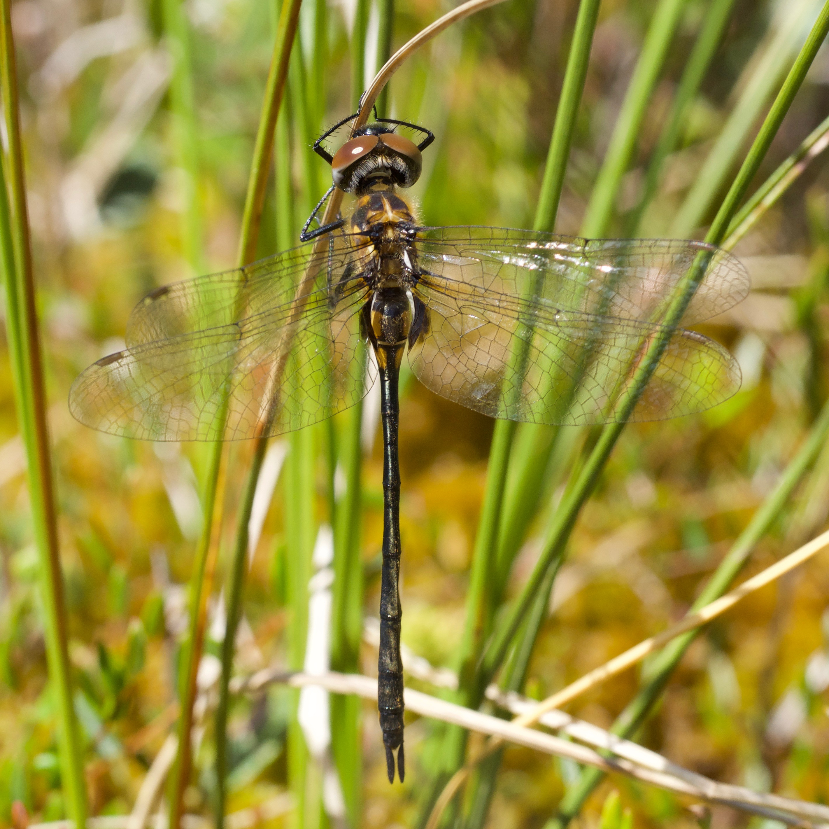
Somatochlora franklini

Somatochlora franklini
Somatochlora franklini

Somatochlora franklini

Somatochlora walshii

Somatochlora walshii

Aeshna canadensis

Aeshna canadensis

Araneus marmoreus

Cingilia catenaria

Cingilia catenaria

Cingilia catenaria

Libellula quadrimaculata

Leucorrhinia hudsonica

Leucorrhinia hudsonica
Topographic Map of Little Fork River, Minnesota, USA
Find elevation by address:

Places near Little Fork River, Minnesota, USA:
Koochiching County
South Koochiching
Littlefork
Main St, Littlefork, MN, USA
Littlefork Baptist Church
Effie
Rainy Lake
MN-1, Effie, MN, USA
Effie
County Road 236
2nd St NW, Big Falls, MN, USA
Big Falls
Willow River Rd, Orr, MN, USA
Old School Road
County Road 106
Cook, MN, USA
811 6th St
Sturgeon River
4th St, International Falls, MN, USA
International Falls
Recent Searches:
- Elevation of Corso Fratelli Cairoli, 35, Macerata MC, Italy
- Elevation of Tallevast Rd, Sarasota, FL, USA
- Elevation of 4th St E, Sonoma, CA, USA
- Elevation of Black Hollow Rd, Pennsdale, PA, USA
- Elevation of Oakland Ave, Williamsport, PA, USA
- Elevation of Pedrógão Grande, Portugal
- Elevation of Klee Dr, Martinsburg, WV, USA
- Elevation of Via Roma, Pieranica CR, Italy
- Elevation of Tavkvetili Mountain, Georgia
- Elevation of Hartfords Bluff Cir, Mt Pleasant, SC, USA