Elevation of Kent Rd, Kent, CT, USA
| Latitude | 41.688737 |
|---|---|
| Longitude | -73.5047827 |
| Elevation | 108m / 354feet |
| Barometric Pressure | 1000KPa |
Related Photos:
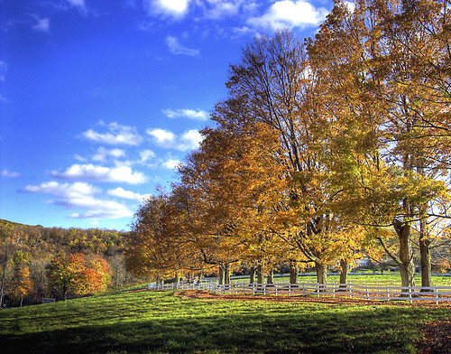
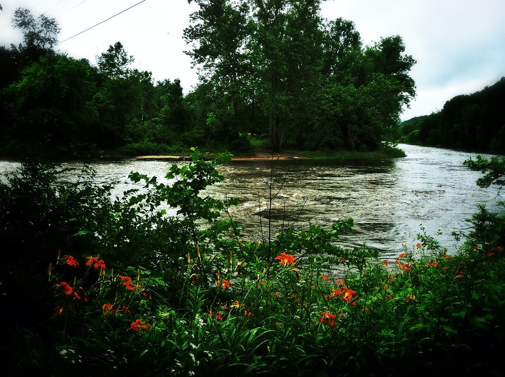
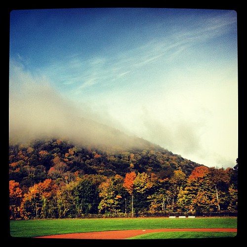
Autumn.
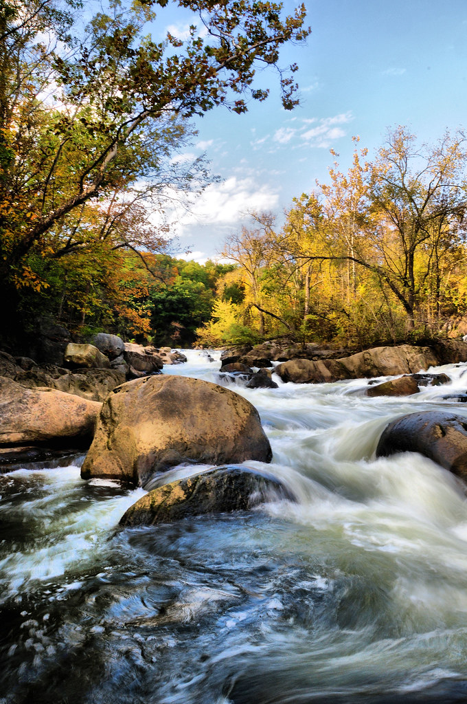
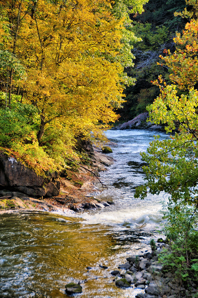
The Stream in Fall
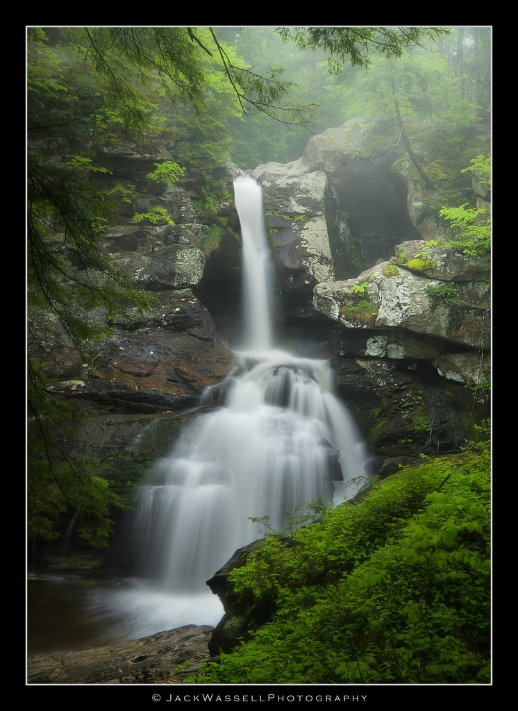
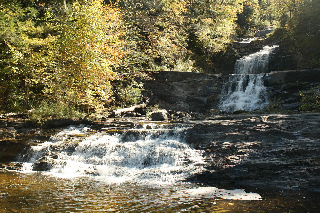
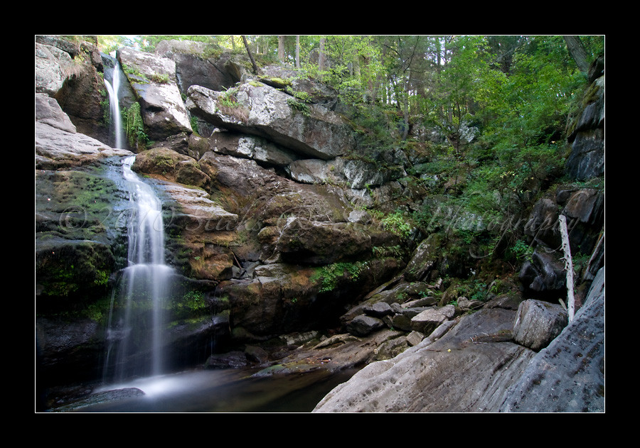
Kent Upper Falls
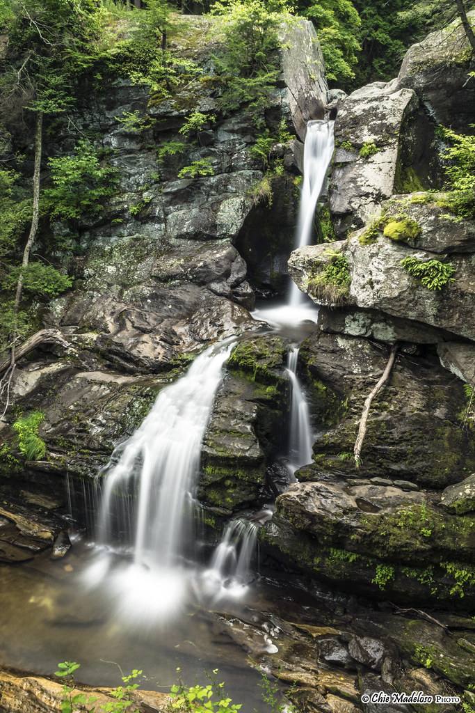
Kent Falls | Kent Falls State Park

The view from here
Kent Falls

Kent Falls
Upstream 1

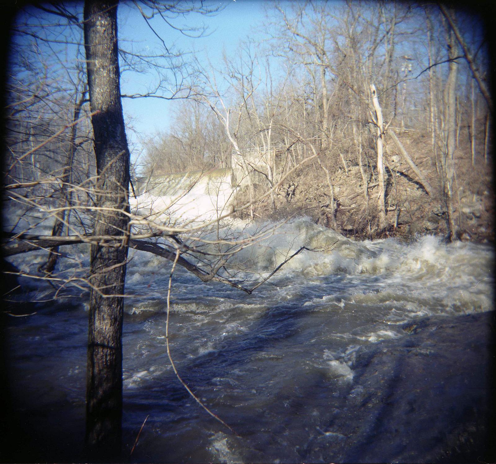
Racing stream
Upstream 2

Maples in snow storm
Camera Roll-147
Bulls Bridge V

old woman
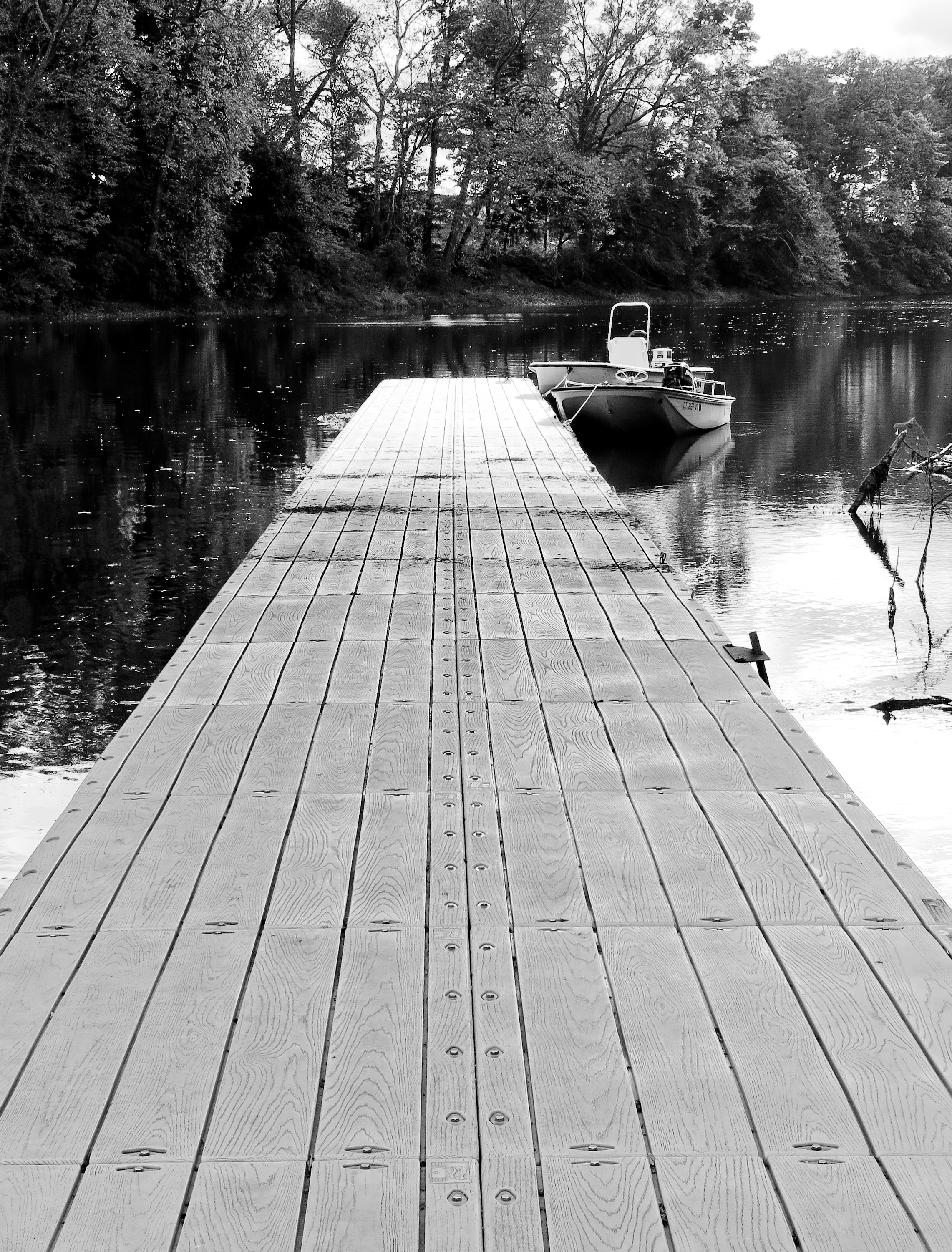
Docked Boats
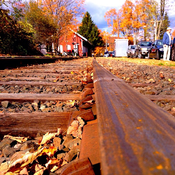
A view from the bridge, er, railroad tracks.

Inside Dover Stone Church 2
kent-falls-park-8131
Camera Roll-2845 River Rd
Wassaic view and sculpture

South 1st View

Falling Down

Entrance to Dover Stone Church

Down Stream

Kent Falls
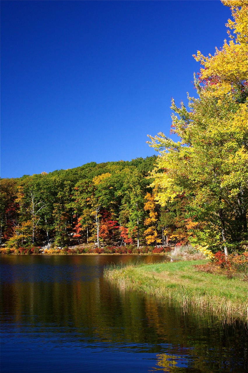
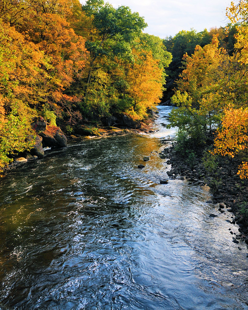
Kent - Fall colors

Kent Falls SP - Kent, CT

Future hay

Kent Falls SP - Kent, CT
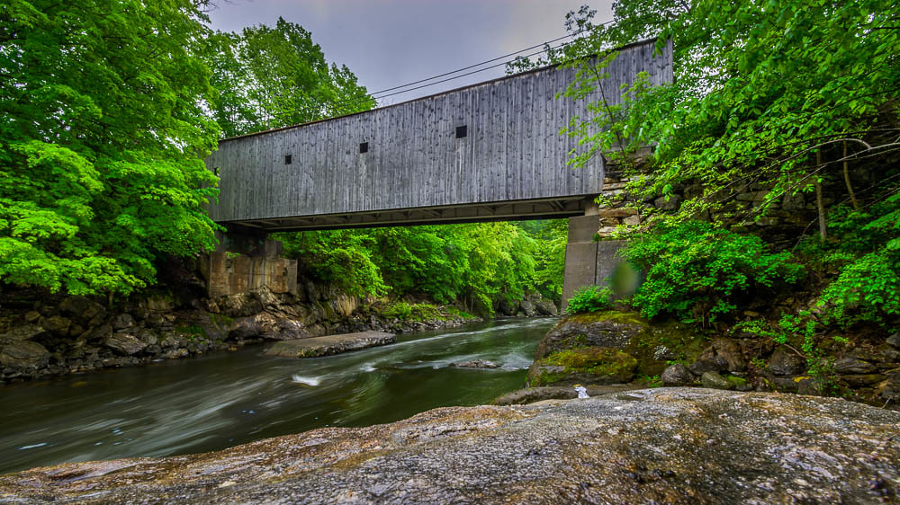
Bull's Bridge

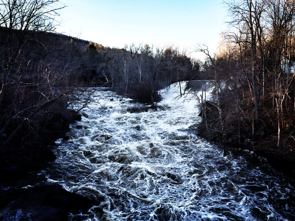
Connecticut Water Falls
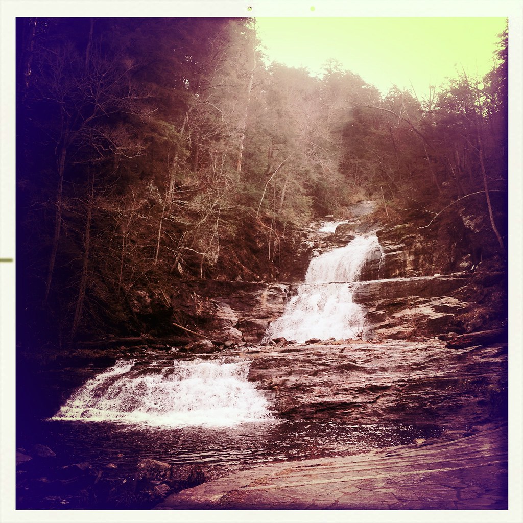
Kent Falls

Kent Falls SP - Kent, CT
Kent.

Kent #vscocam
Topographic Map of Kent Rd, Kent, CT, USA
Find elevation by address:
Places near Kent Rd, Kent, CT, USA:
US-7, South Kent, CT, USA
28 Berkshire Rd
16 Angel Vista Dr
South Main Street
Kent
Tenmile River
Old Rte 22, Dover Plains, NY, USA
81 Cricket Hill Rd
23 Fuller Mountain Rd
83 Fuller Mountain Rd
5 McCarthy Rd, Dover Plains, NY, USA
Dover
Dover Plains
32 Reimer Ave
160 Holsapple Rd
6 Kent Rd, Wassaic, NY, USA
Clark Hill Road
Amenia
14 Keeler Rd, Sharon, CT, USA
290 Hammond Hill Rd
Recent Searches:
- Elevation of 104, Chancery Road, Middletown Township, Bucks County, Pennsylvania, 19047, USA
- Elevation of 1212, Cypress Lane, Dayton, Liberty County, Texas, 77535, USA
- Elevation map of Central Hungary, Hungary
- Elevation map of Pest, Central Hungary, Hungary
- Elevation of Pilisszentkereszt, Pest, Central Hungary, Hungary
- Elevation of Dharamkot Tahsil, Punjab, India
- Elevation of Bhinder Khurd, Dharamkot Tahsil, Punjab, India
- Elevation of 2881, Chabot Drive, San Bruno, San Mateo County, California, 94066, USA
- Elevation of 10370, West 107th Circle, Westminster, Jefferson County, Colorado, 80021, USA
- Elevation of 611, Roman Road, Old Ford, Bow, London, England, E3 2RW, United Kingdom
- Elevation of 116, Beartown Road, Underhill, Chittenden County, Vermont, 05489, USA
- Elevation of Window Rock, Colfax County, New Mexico, 87714, USA
- Elevation of 4807, Rosecroft Street, Kempsville Gardens, Virginia Beach, Virginia, 23464, USA
- Elevation map of Matawinie, Quebec, Canada
- Elevation of Sainte-Émélie-de-l'Énergie, Matawinie, Quebec, Canada
- Elevation of Rue du Pont, Sainte-Émélie-de-l'Énergie, Matawinie, Quebec, J0K2K0, Canada
- Elevation of 8, Rue de Bécancour, Blainville, Thérèse-De Blainville, Quebec, J7B1N2, Canada
- Elevation of Wilmot Court North, 163, University Avenue West, Northdale, Waterloo, Region of Waterloo, Ontario, N2L6B6, Canada
- Elevation map of Panamá Province, Panama
- Elevation of Balboa, Panamá Province, Panama