Elevation of Old Rte 22, Dover Plains, NY, USA
Location: United States > New York > Dutchess County > Dover > Dover Plains >
Longitude: -73.559858
Latitude: 41.661083
Elevation: 119m / 390feet
Barometric Pressure: 100KPa
Elevation Map:
Satellite Map:
Related Photos:
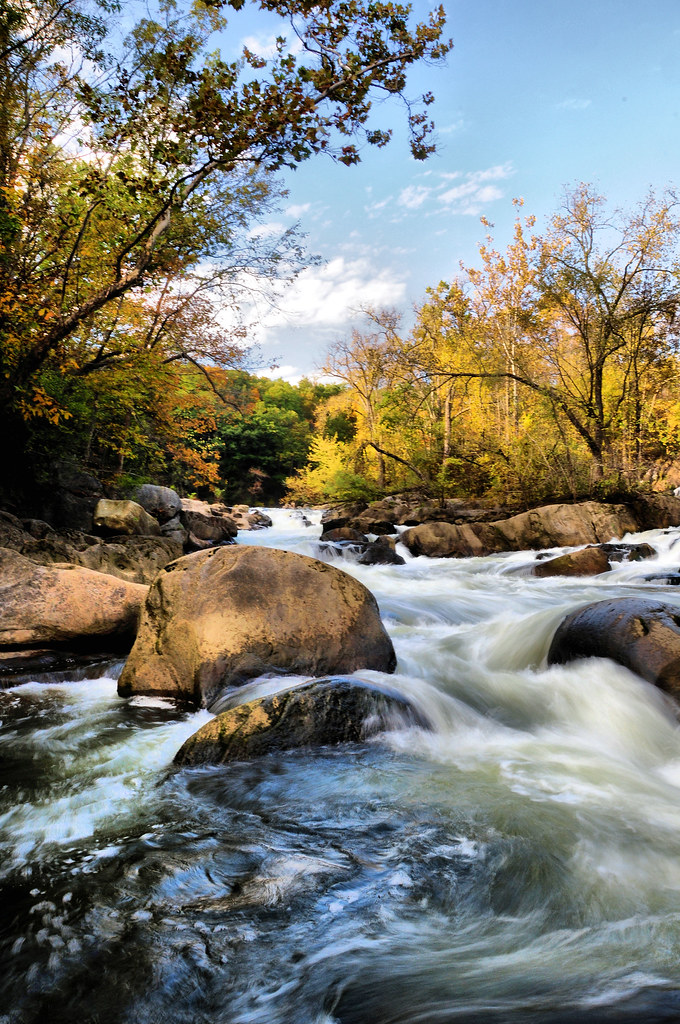
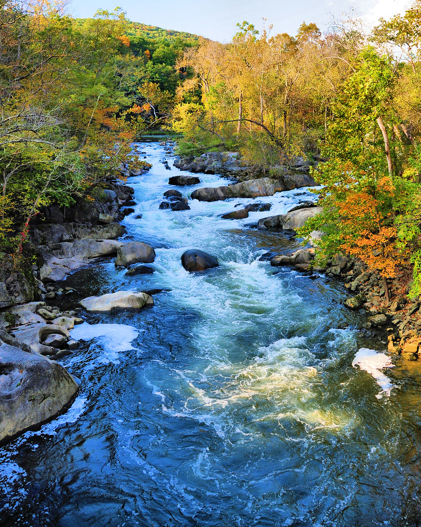
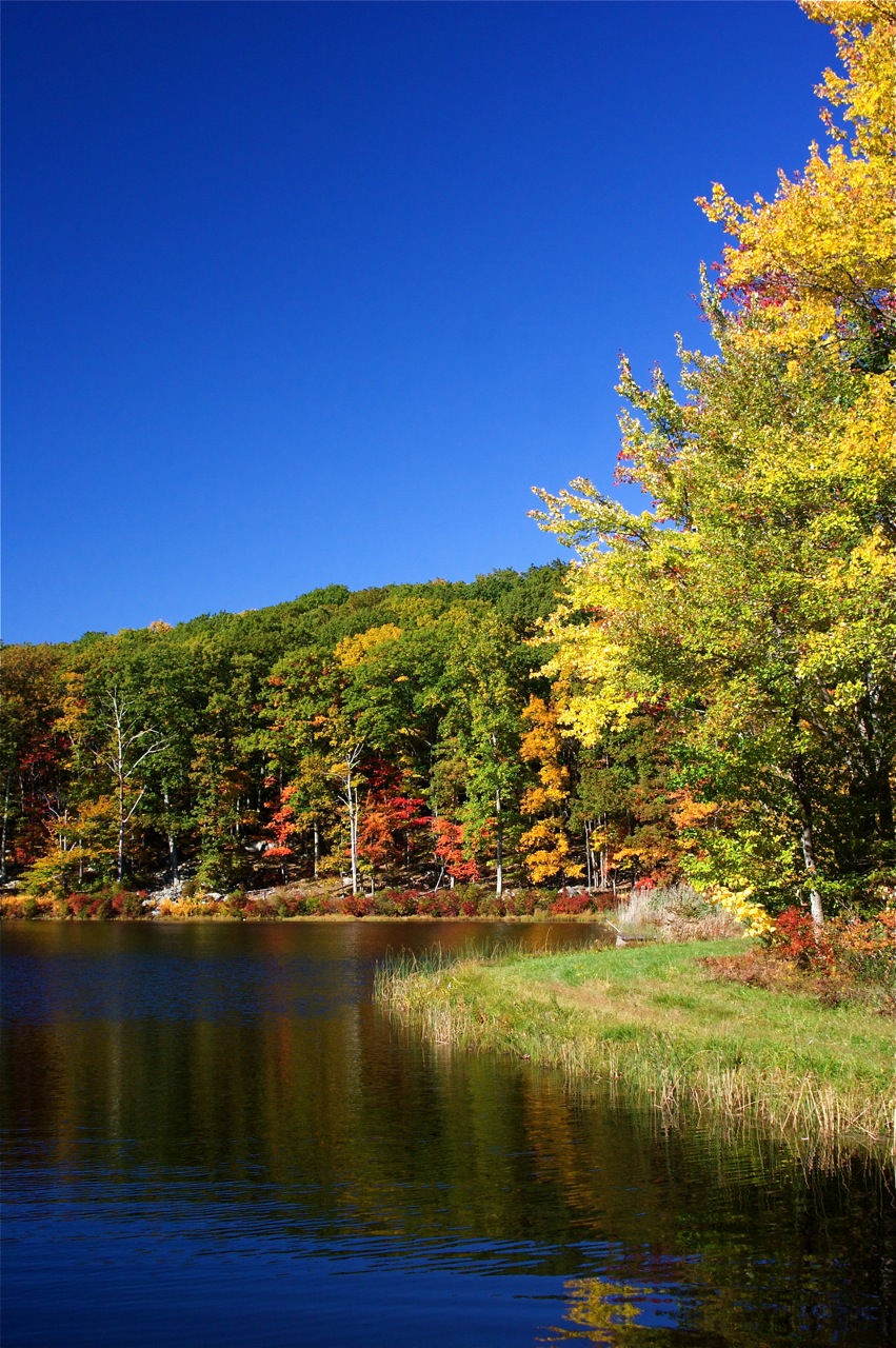
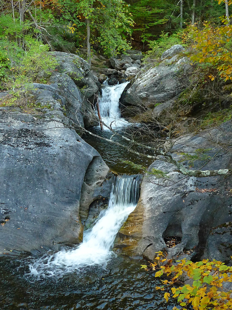
The Stream in Fall
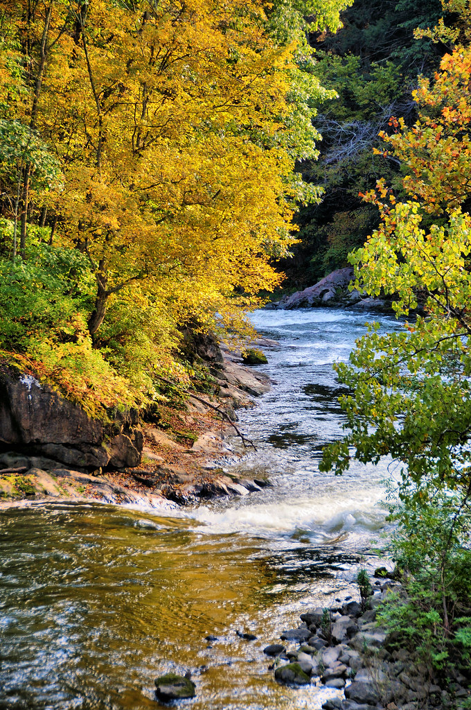
Upstream 1
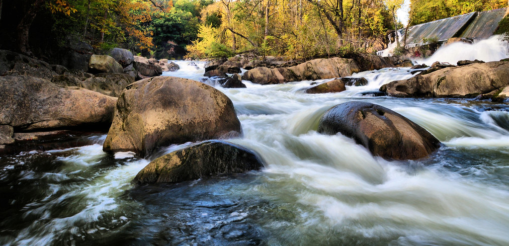
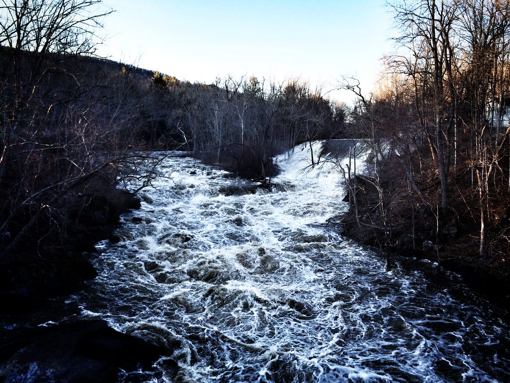
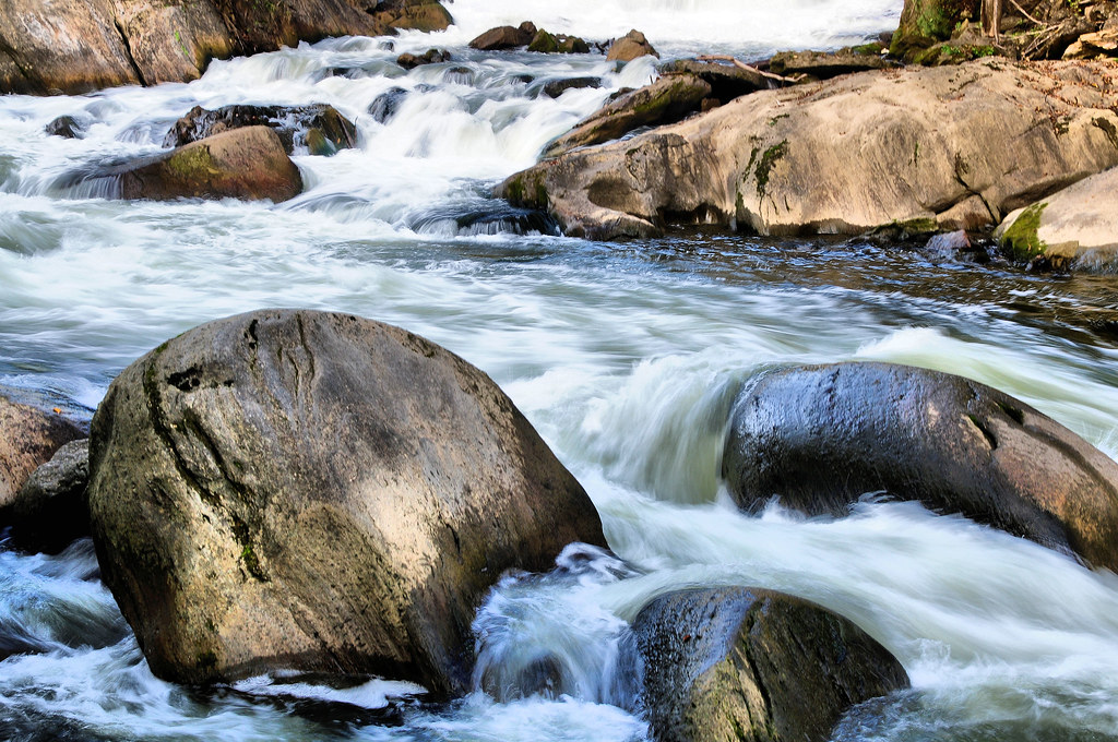
Racing stream
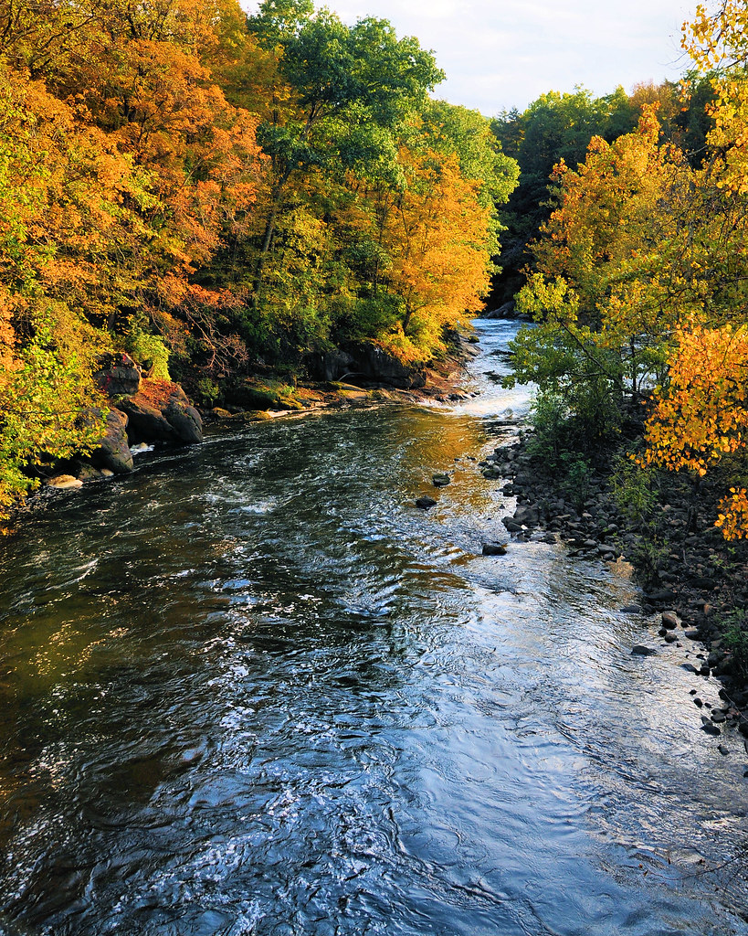
Upstream 2
Camera Roll-147
Bulls Bridge V
Docked Boats
Camera Roll-2845 River Rd
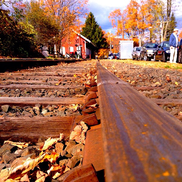
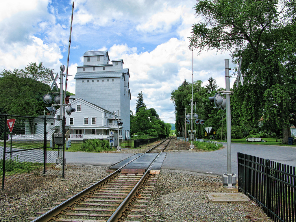
A view from the bridge, er, railroad tracks.

South 1st View

Caskill View
Camera Roll-3260

Wassaic View
Mountain Stream

More View
Housatonic River I
Back to the Future
Around the Rocks
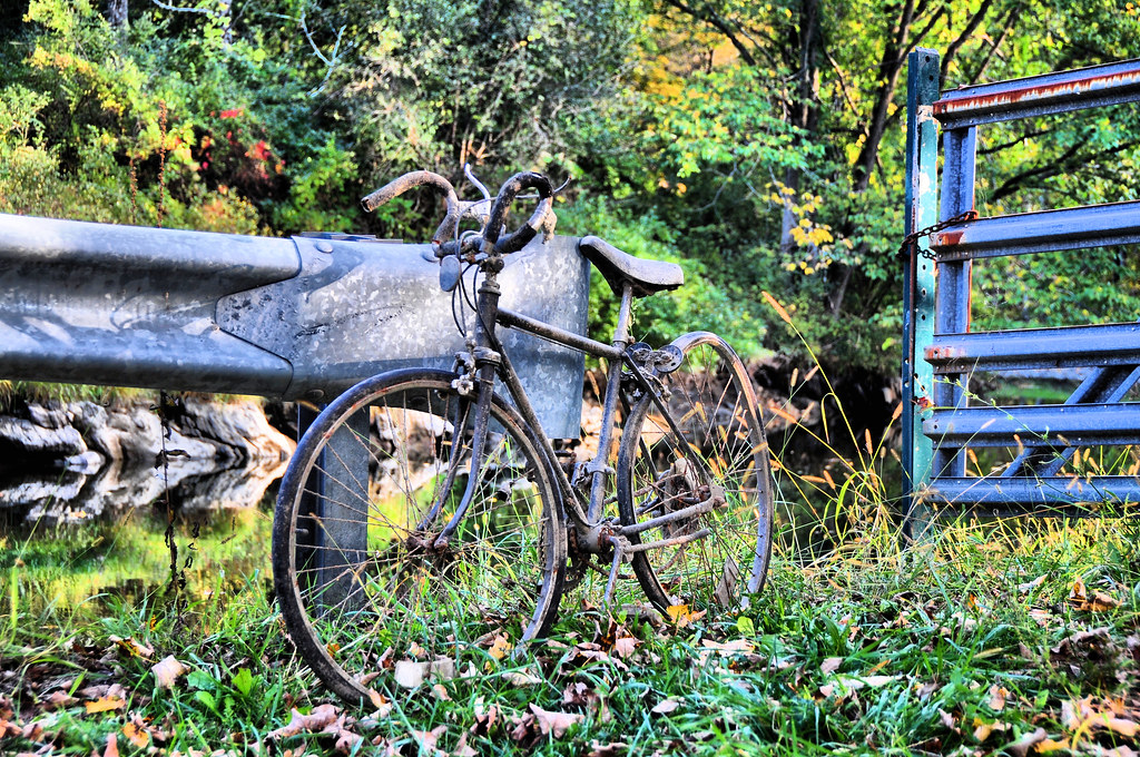
Forgotten Bike

Harlem Valley Psychiatric Center

Vulture View

the Matt Siren Cornmaze at Barton Orchards
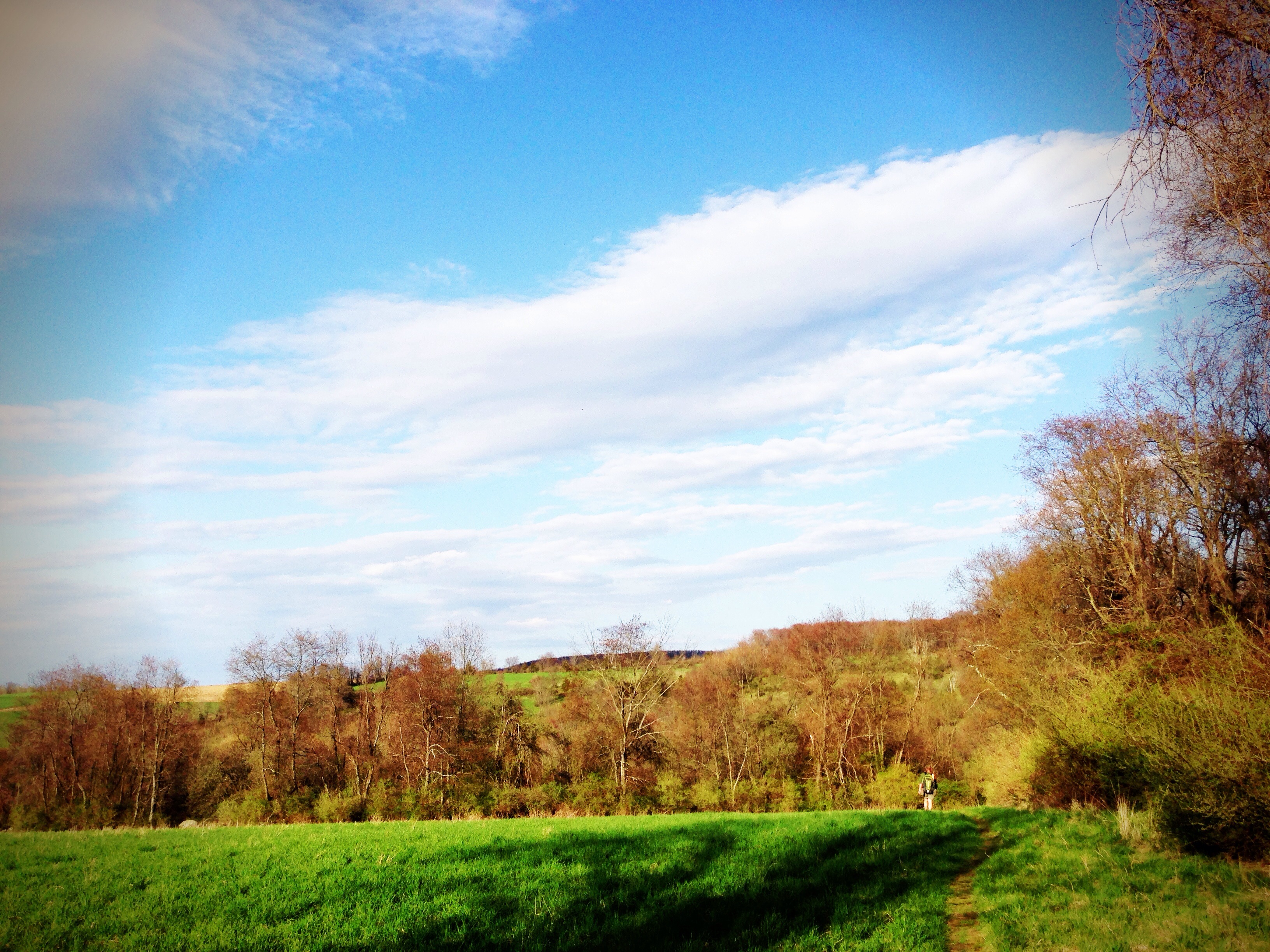
App trail

The boardwalk
Kent - Fall colors
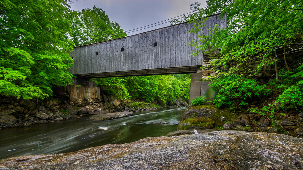
Bull's Bridge
Kent.

Kent #vscocam
Hilltop Pond

Bulls Bridge Interior
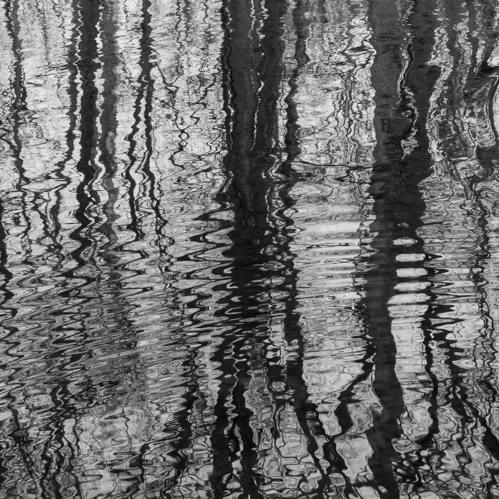
Tree reflections distorted by ripples
Camera Roll-8

Beefy Bouncers

Afternoon by the river

2013-05-25 10.30.31
2013-05-25 11.26.12
a walk in the woods near sunset
Camera Roll-3427
Kent Falls, Kent, CT
Topographic Map of Old Rte 22, Dover Plains, NY, USA
Find elevation by address:

Places near Old Rte 22, Dover Plains, NY, USA:
81 Cricket Hill Rd
Dover
US-7, South Kent, CT, USA
Tenmile River
231 Kent Rd
28 Berkshire Rd
5 McCarthy Rd, Dover Plains, NY, USA
160 Holsapple Rd
Dover Plains
32 Reimer Ave
16 Angel Vista Dr
South Main Street
Kent
290 Hammond Hill Rd
300 Hammond Hill Rd
300 Hammond Hill Rd
Hammond Hill Road
280 Hammond Hill Rd
200 Hammond Hill Rd
260 Hammond Hill Rd
Recent Searches:
- Elevation of Corso Fratelli Cairoli, 35, Macerata MC, Italy
- Elevation of Tallevast Rd, Sarasota, FL, USA
- Elevation of 4th St E, Sonoma, CA, USA
- Elevation of Black Hollow Rd, Pennsdale, PA, USA
- Elevation of Oakland Ave, Williamsport, PA, USA
- Elevation of Pedrógão Grande, Portugal
- Elevation of Klee Dr, Martinsburg, WV, USA
- Elevation of Via Roma, Pieranica CR, Italy
- Elevation of Tavkvetili Mountain, Georgia
- Elevation of Hartfords Bluff Cir, Mt Pleasant, SC, USA