Elevation of Dover Plains, NY, USA
Location: United States > New York > Dutchess County > Dover >
Longitude: -73.576515
Latitude: 41.7412051
Elevation: 122m / 400feet
Barometric Pressure: 100KPa
Elevation Map:
Satellite Map:
Related Photos:

return to fall...
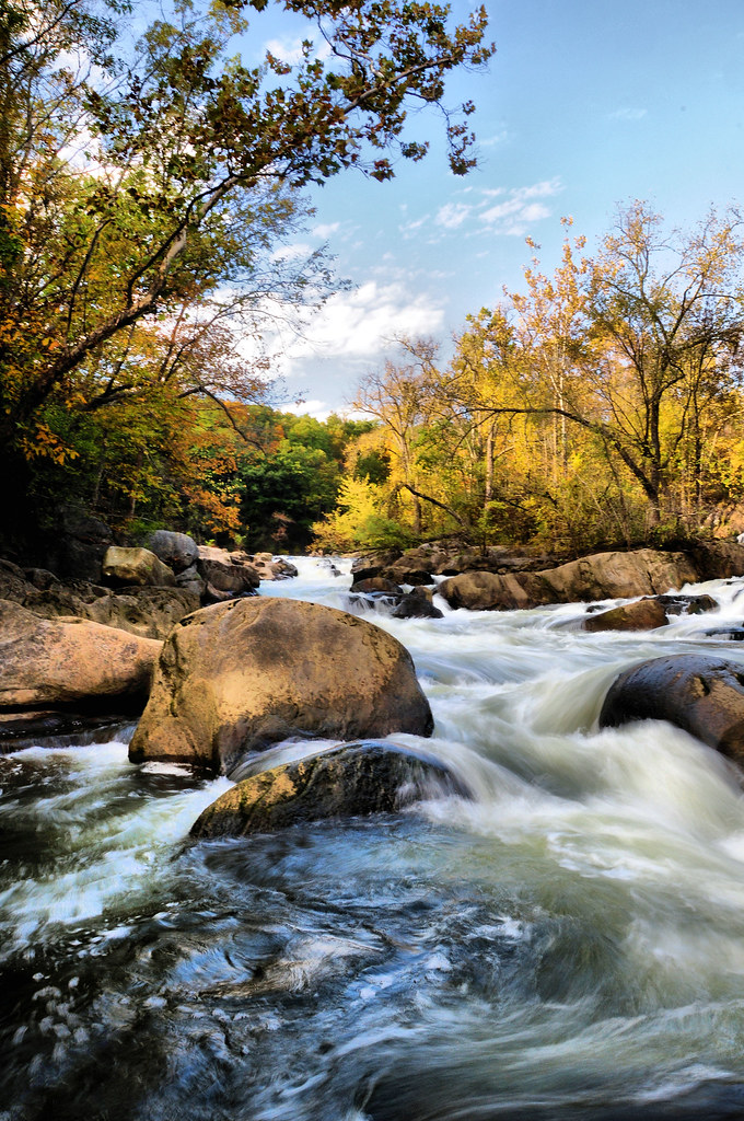
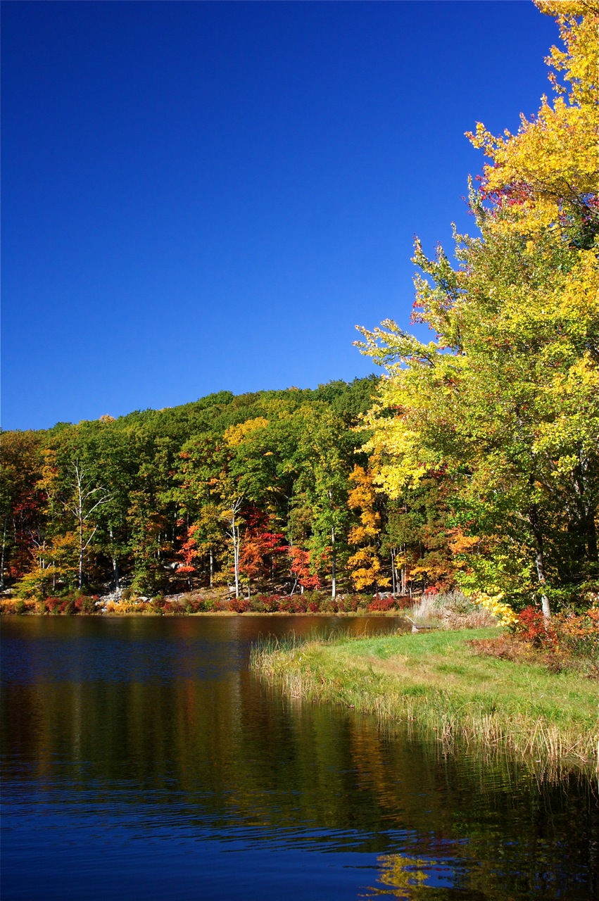
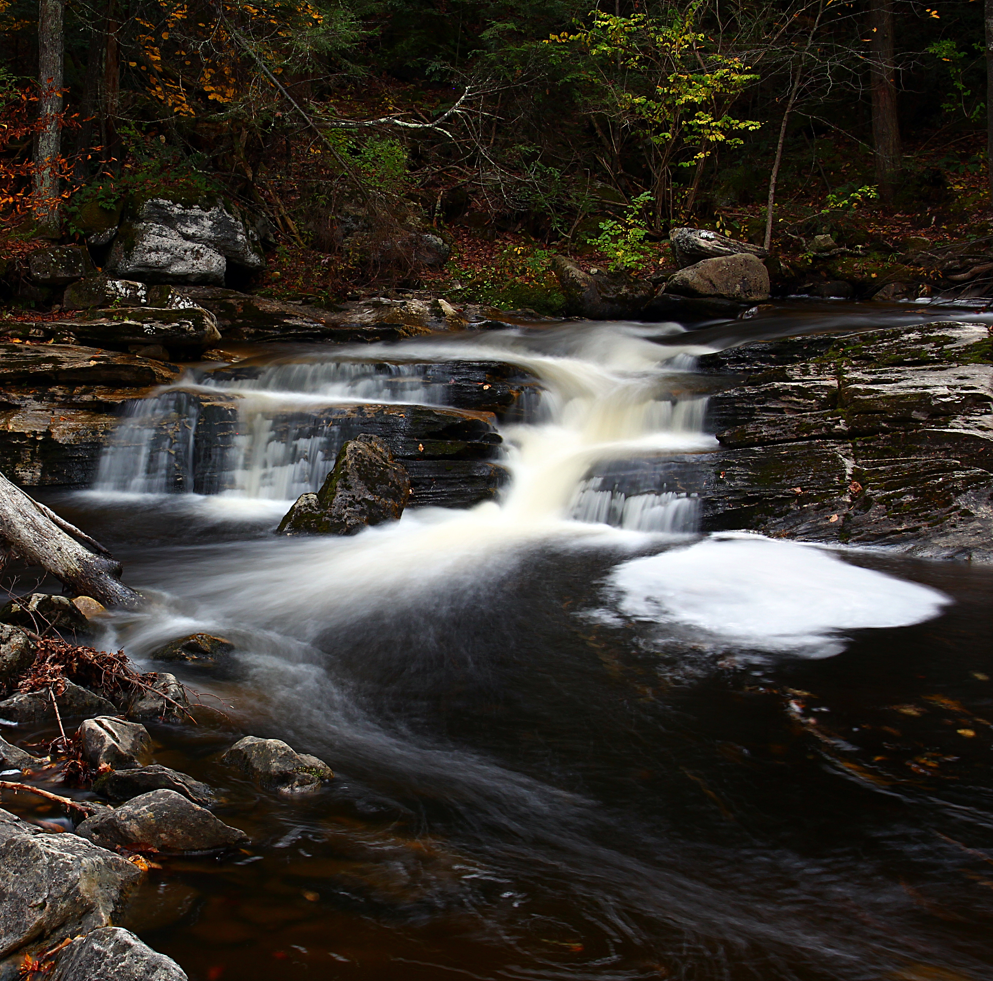
The Stream in Fall
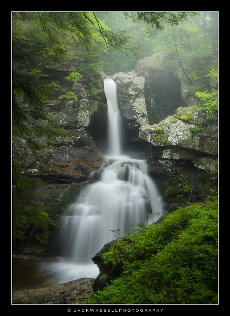
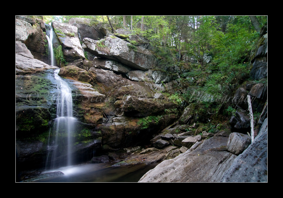
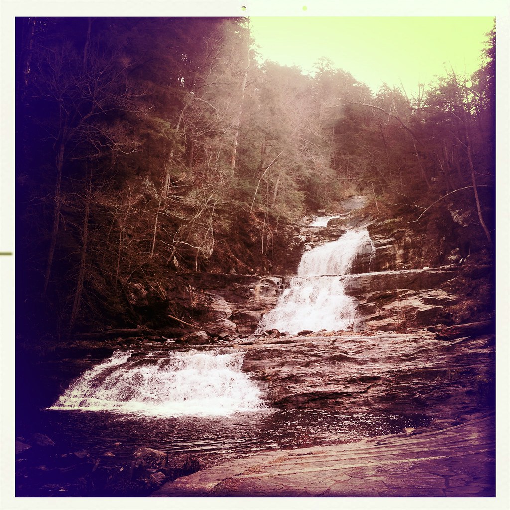
Kent Upper Falls
Kent Falls | Kent Falls State Park

Kent Falls
Upstream 1
Kent Falls
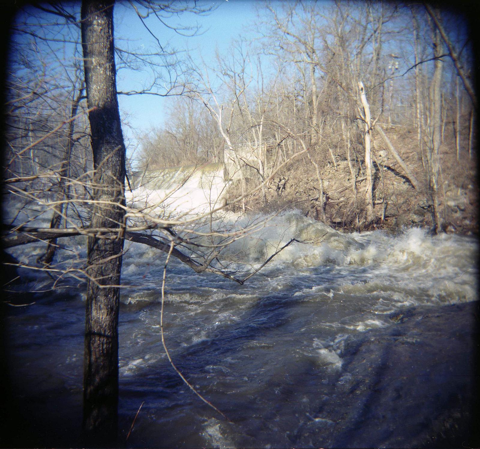
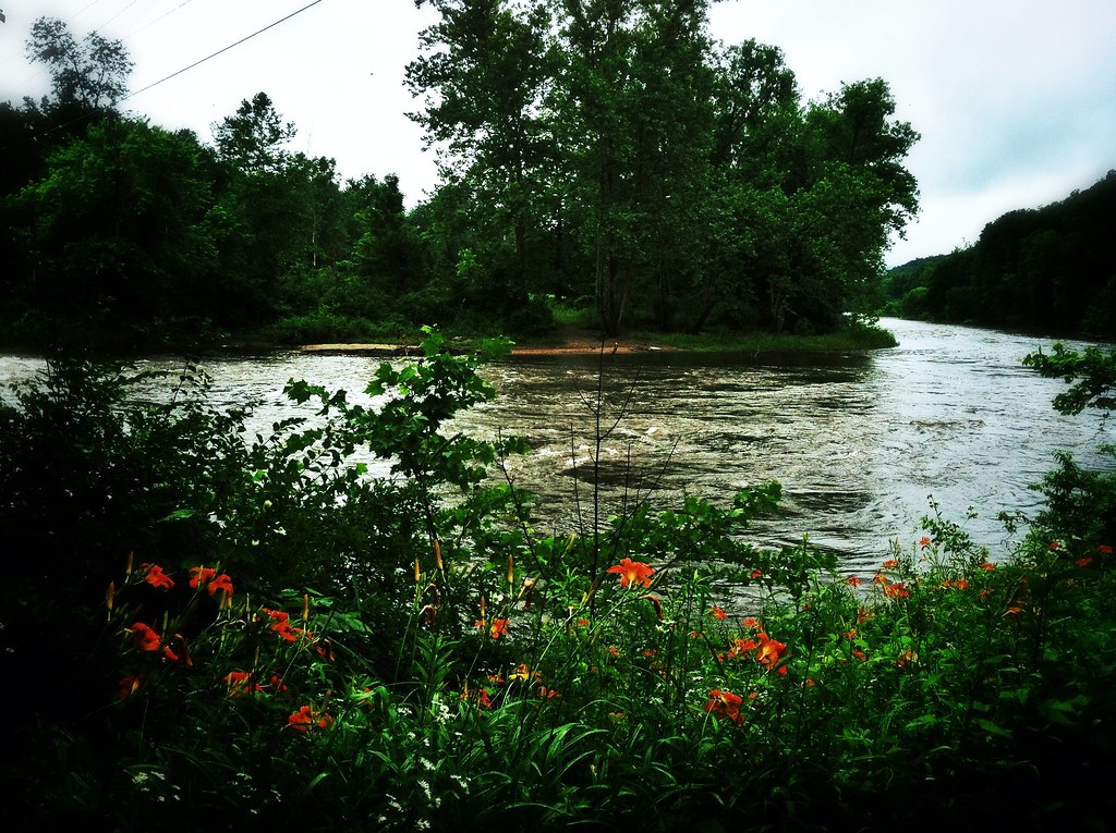
Racing stream
Upstream 2
Camera Roll-147
Bulls Bridge V
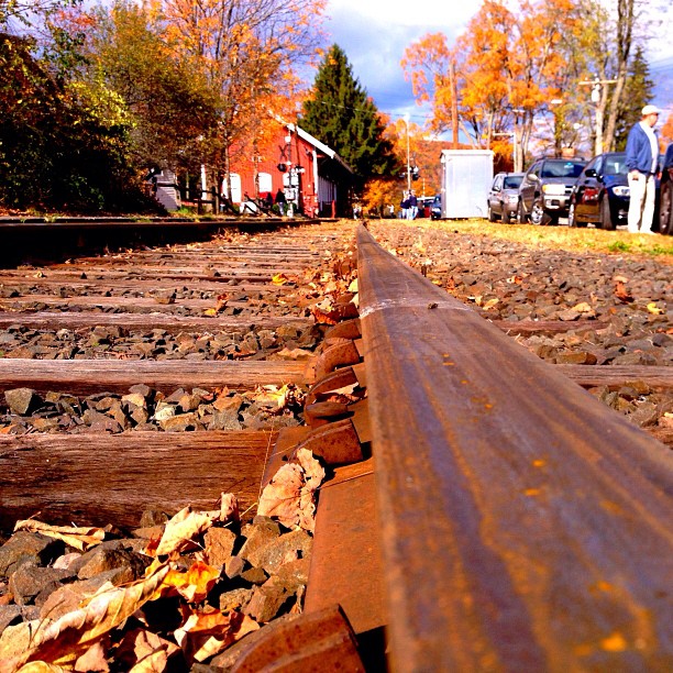
A view from the bridge, er, railroad tracks.
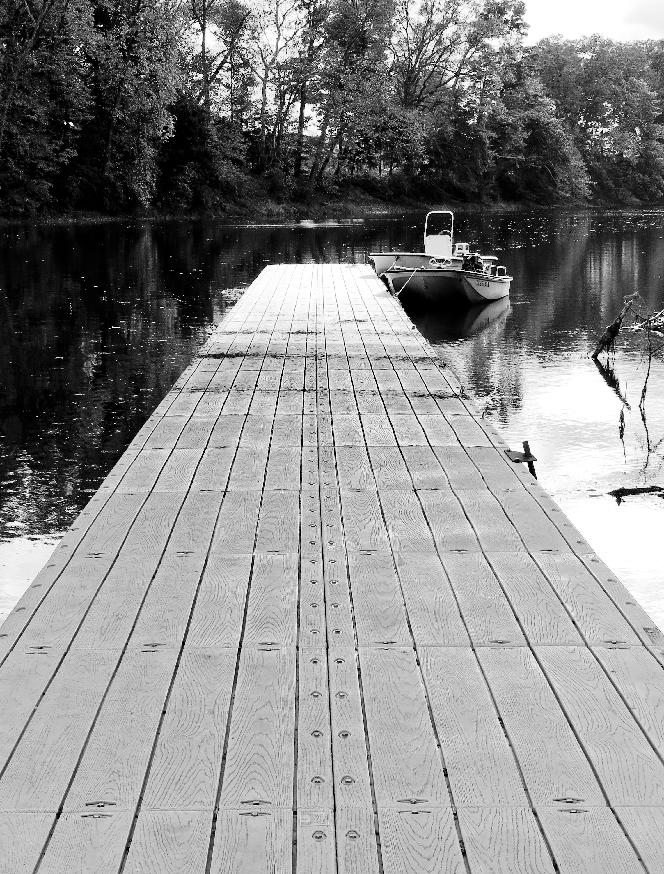
Docked Boats
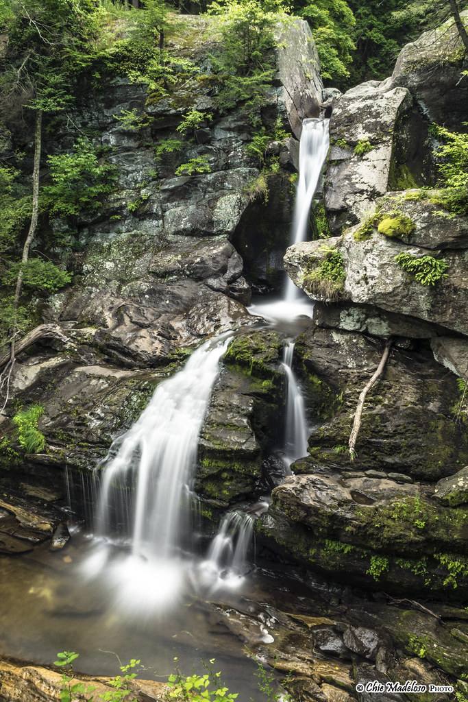
kent-falls-park-8131
Camera Roll-2845 River Rd

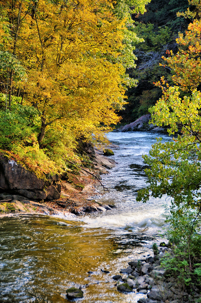
South 1st View
Camera Roll-3260
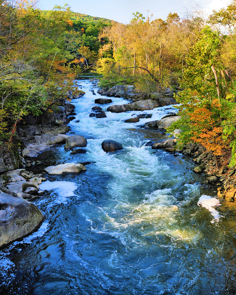
Mountain Stream

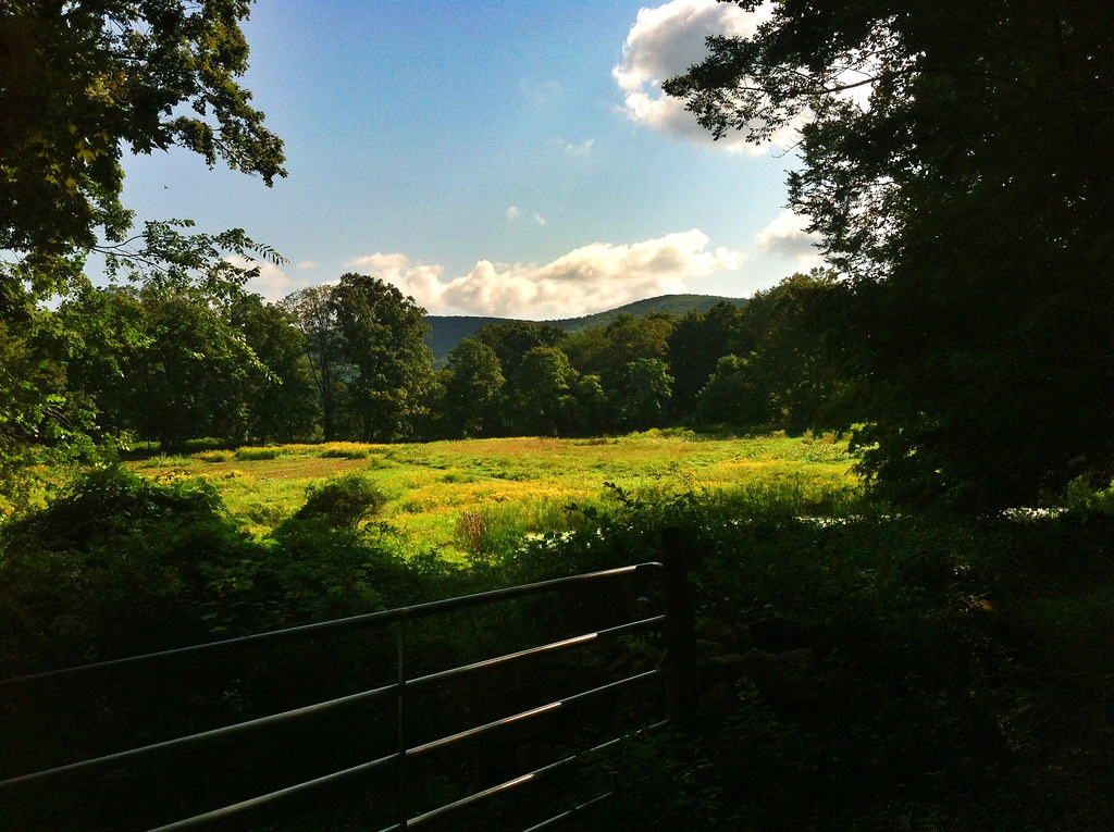
The View

More View
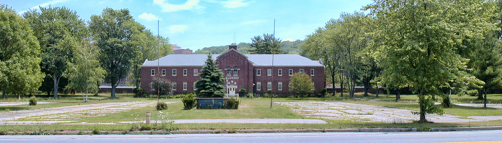
Harlem Valley Psychiatric Center

Kent Falls
Kent - Fall colors

Kent Falls SP - Kent, CT
Kent.

Kent Falls SP - Kent, CT
Kent Falls

Kent Falls SP - Kent, CT
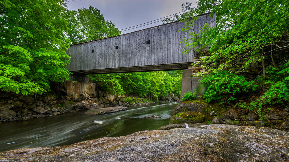
Bull's Bridge

Connecticut Water Falls

Kent #vscocam
Kent Falls State Park, Cornwall Bridge, CT 06754

As many as you want
Mario and Luigi
Hilltop Pond
Water Water Everywhere
Topographic Map of Dover Plains, NY, USA
Find elevation by address:

Places in Dover Plains, NY, USA:
5 McCarthy Rd, Dover Plains, NY, USA
Old Rte 22, Dover Plains, NY, USA
Butts Hollow Road
Tenmile River
Hammond Hill Road
Places near Dover Plains, NY, USA:
32 Reimer Ave
5 McCarthy Rd, Dover Plains, NY, USA
290 Hammond Hill Rd
350 Hammond Hill Rd
300 Hammond Hill Rd
300 Hammond Hill Rd
320 Hammond Hill Rd
320 Hammond Hill Rd
320 Hammond Hill Rd
320 Hammond Hill Rd
280 Hammond Hill Rd
160 Holsapple Rd
200 Hammond Hill Rd
260 Hammond Hill Rd
Tenmile River
Dover
Hammond Hill Road
Butts Hollow Road
144 Butts Hollow Rd
10 Hammond Hill Rd
Recent Searches:
- Elevation of Corso Fratelli Cairoli, 35, Macerata MC, Italy
- Elevation of Tallevast Rd, Sarasota, FL, USA
- Elevation of 4th St E, Sonoma, CA, USA
- Elevation of Black Hollow Rd, Pennsdale, PA, USA
- Elevation of Oakland Ave, Williamsport, PA, USA
- Elevation of Pedrógão Grande, Portugal
- Elevation of Klee Dr, Martinsburg, WV, USA
- Elevation of Via Roma, Pieranica CR, Italy
- Elevation of Tavkvetili Mountain, Georgia
- Elevation of Hartfords Bluff Cir, Mt Pleasant, SC, USA