Elevation of Kennedy Peak, Arizona, USA
Location: United States > Arizona > Willcox >
Longitude: -110.30591
Latitude: 32.6364586
Elevation: -10000m / -32808feet
Barometric Pressure: 295KPa
Elevation Map:
Satellite Map:
Related Photos:
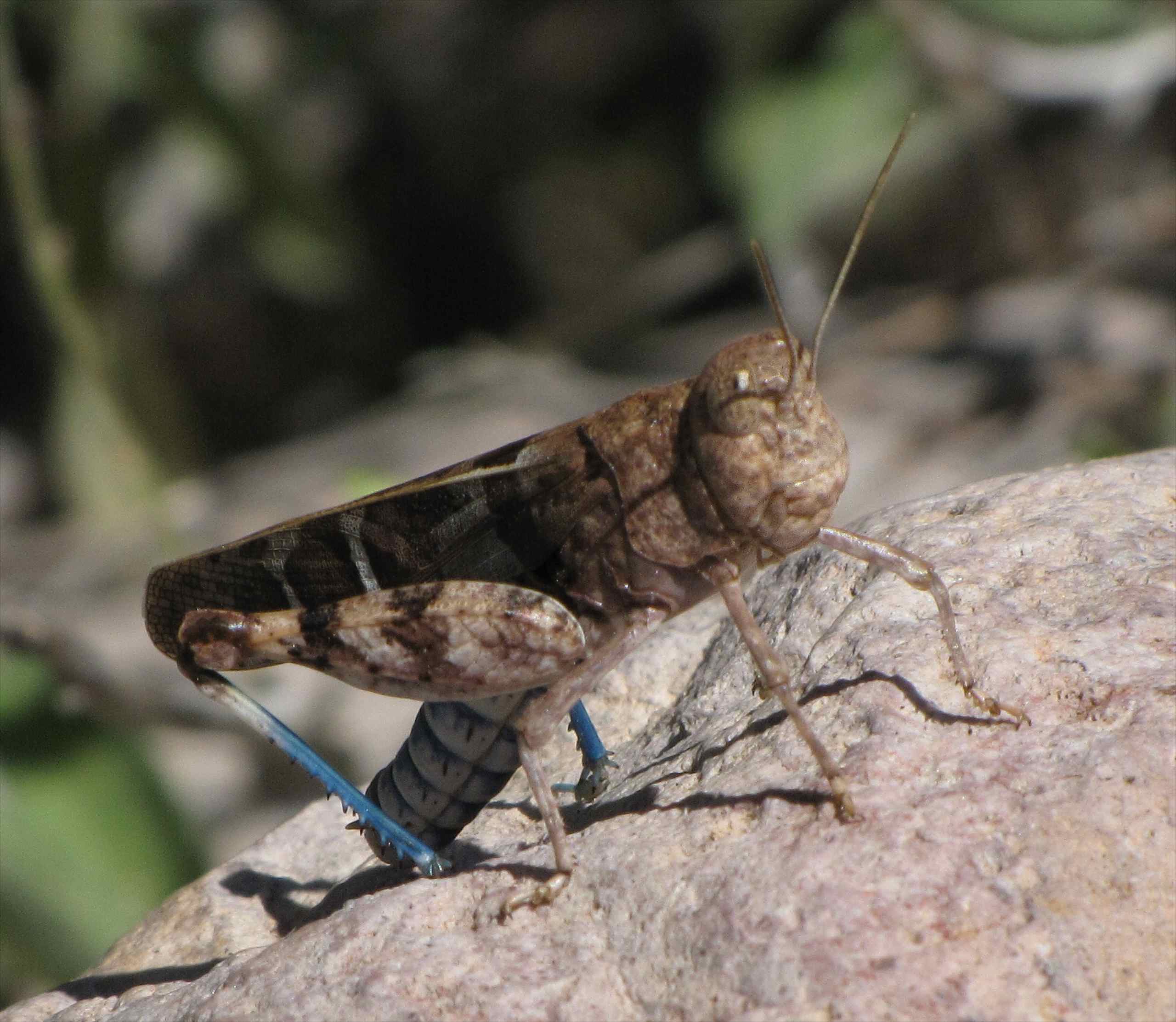
Saussure's Blue-winged Grasshopper (Leprus intermedius) - another view; upper Kielberg Canyon Galiuro Mountains, SE of San Manuel, AZ

View up
Gompa view from 16-to-One Mine
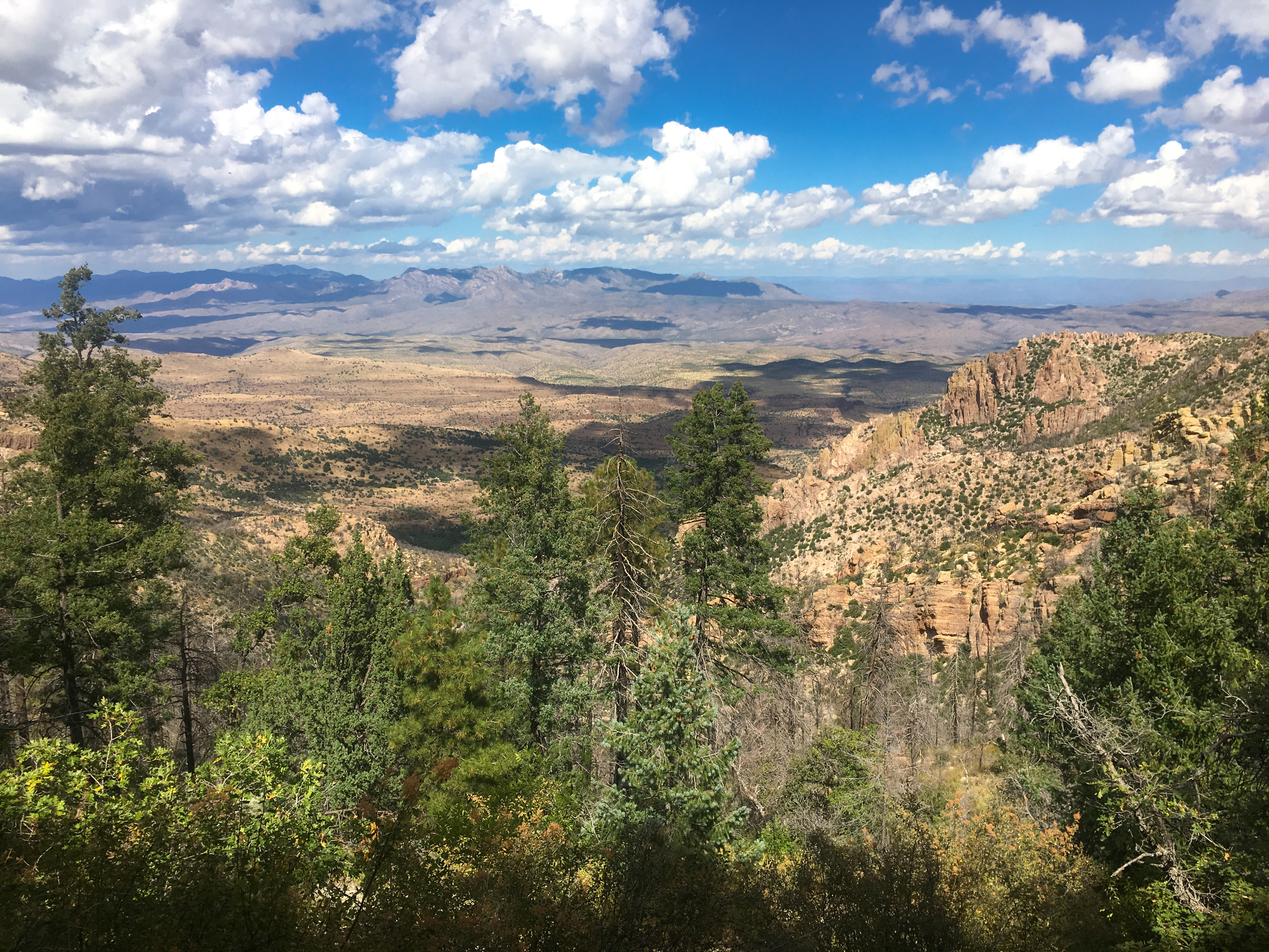
East Divide Trail view

Small wash N of Kielberg Canyon, San Pedro River Valley, AZ

Fields of Mexican Poppies; above Cement Dam Canyon, N of Kielberg Canyon, SE of San Manuel, AZ
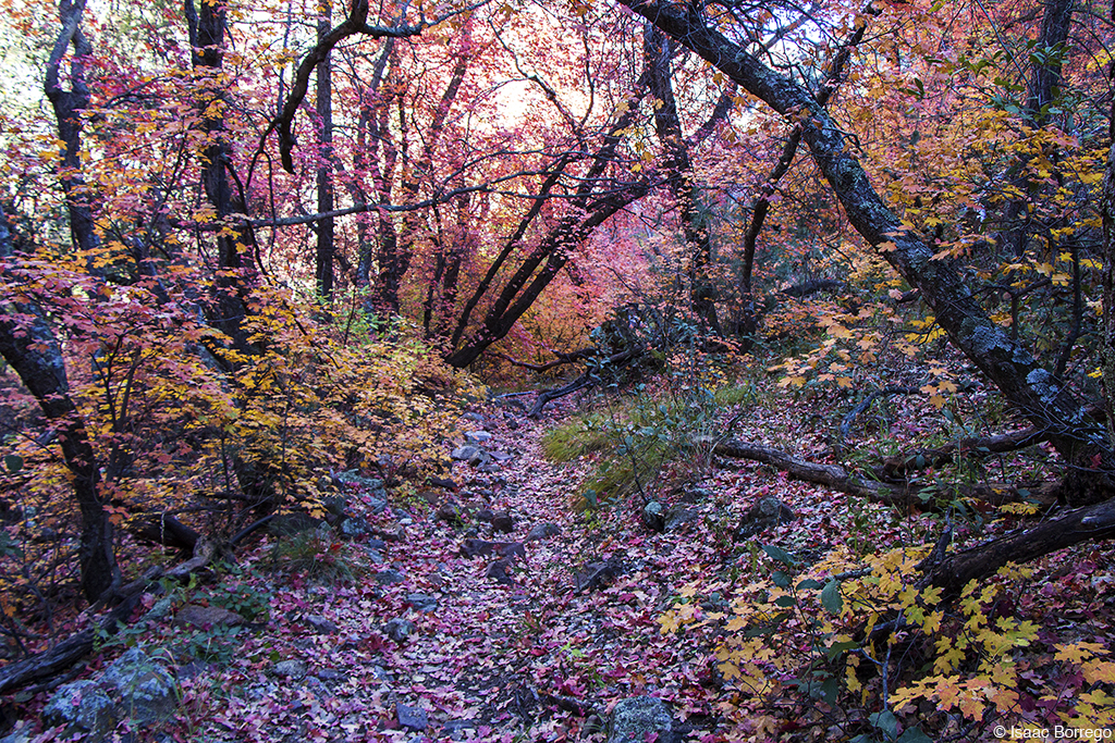
Fairy Tale Landscape

Shindagger Agave (Agave schottii) - Galiuro Mountains. There's lots of these here!

Sonoran Desert Vegetation - Schoenholzer Canyon, Galiuro Mountains, E of San Manuel, AZ

Enriqueta in upper Schoenholzer Canyon, Galiuro Mountains, Arizona
Small side canyon, San Pedro River Valley, AZ

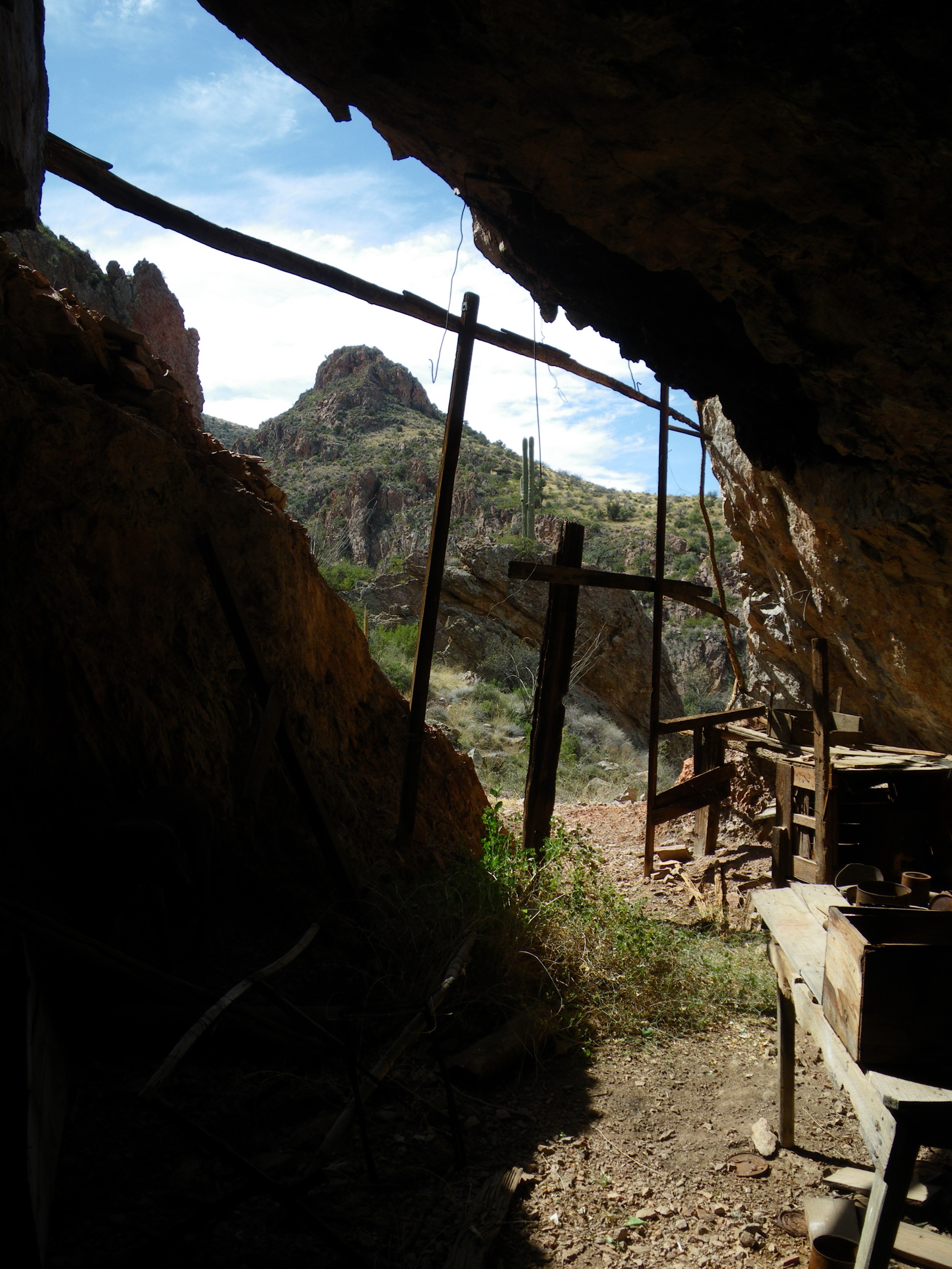
Petroglyphs; small cave in the Galiuro Mountains, AZ

N side of Horse Camp Spring Canyon, Galiuro Mountains

Petroglyphs; small cave in the Galiuro Mountains, AZ

Petroglyphs; small cave in the Galiuro Mountains, AZ
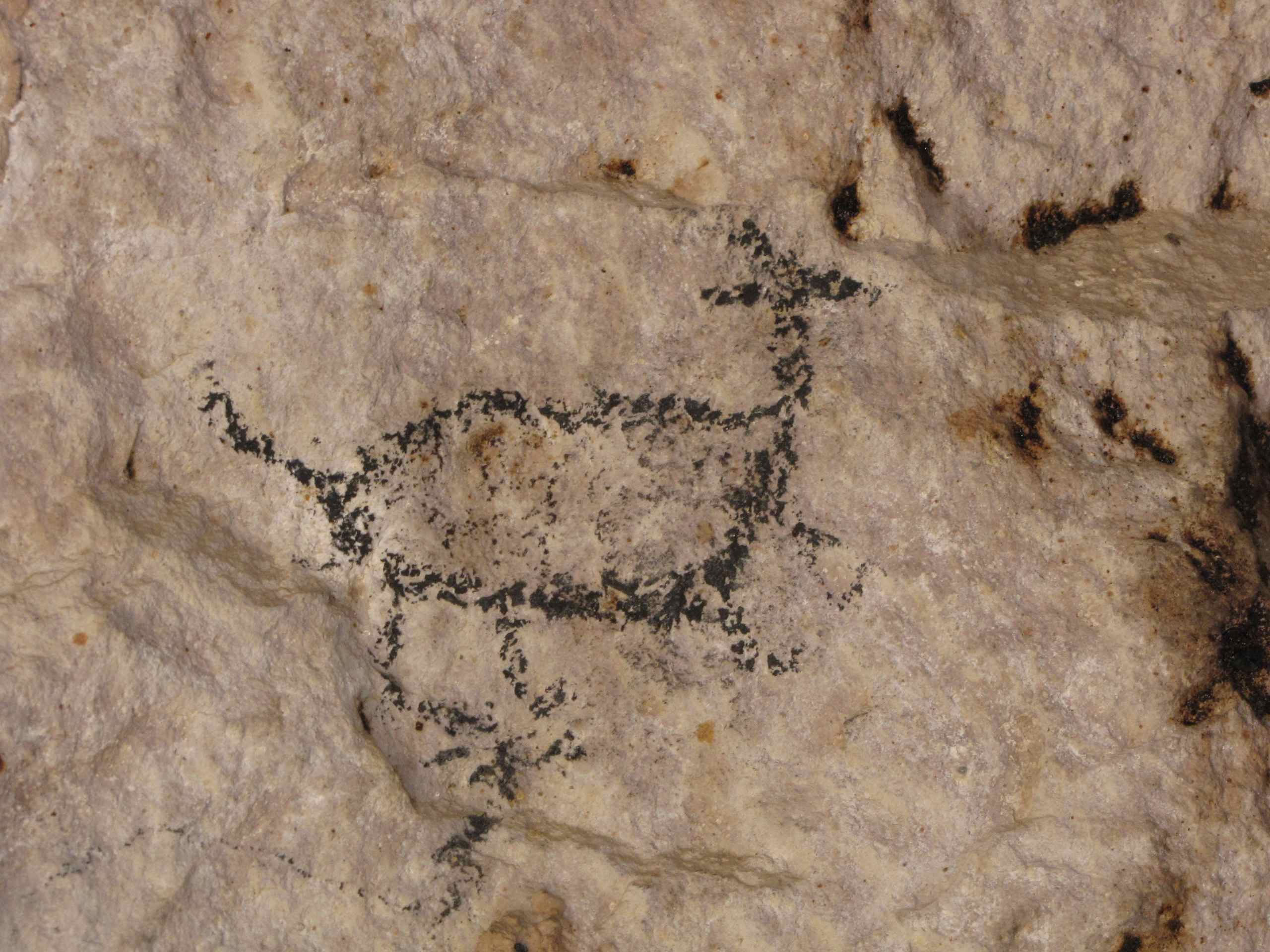
Petroglyphs; small cave in the Galiuro Mountains, AZ

Robust or Pink-flowered Hedgehog Cactus (Echinocereus fasciculatus) dried up on cliff wall

Pools in canyon above Cienega Wash, S of Rhodes Peak, Galiuro Mountains, Coronado NF, E of San Manuel, AZ
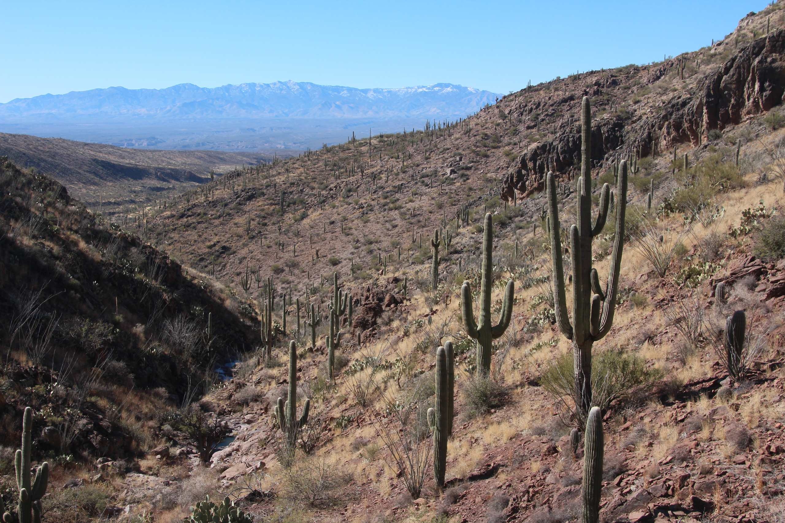
Upper Kielberg Canyon; Galiuro Mountains, AZ

Saguaros as the sun goes down - Upper Kielberg Canyon; Galiuro Mountains, AZ

Saguaros as the sun goes down - Upper Kielberg Canyon; Galiuro Mountains, SE of San Manuel, AZ

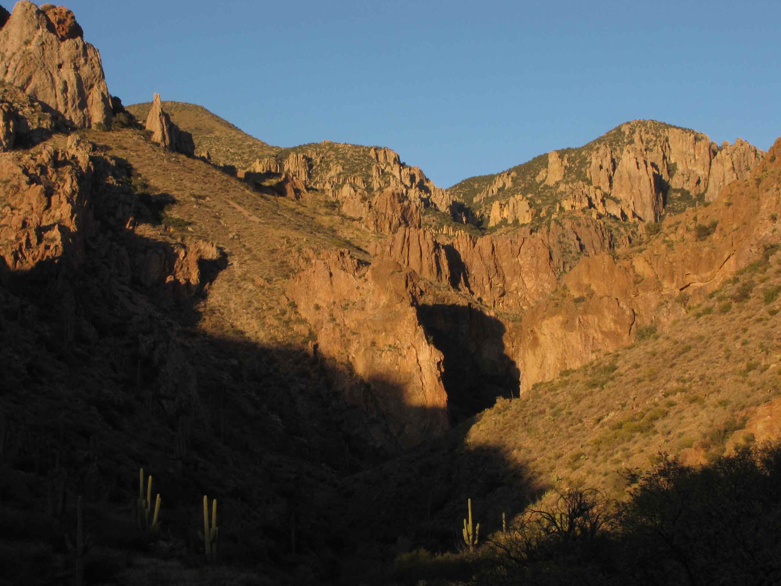
The gateway in Upper Kielberg Canyon; Galiuro Mountains, AZ
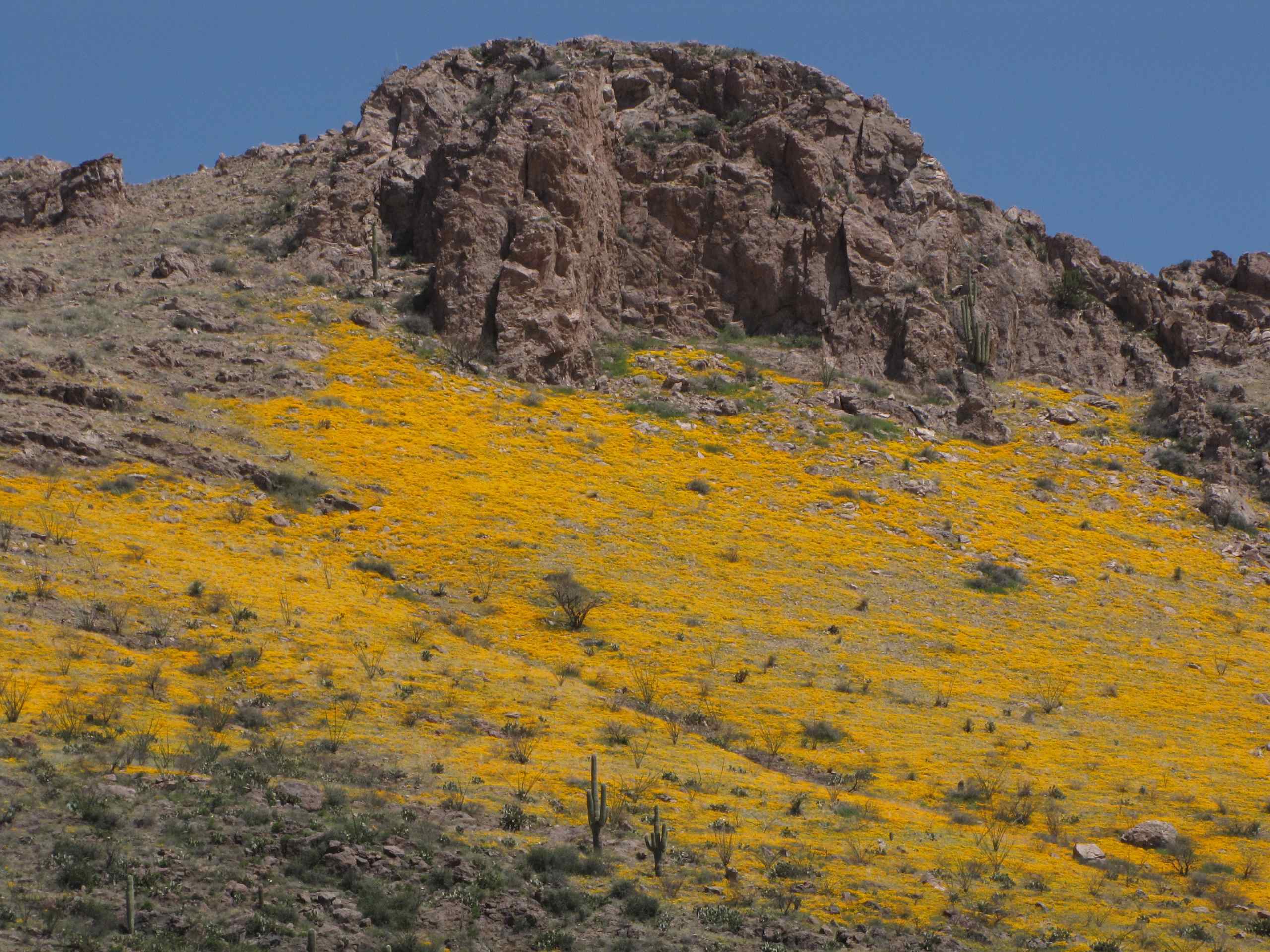
Galiuro Mountains with yellow patches of Mexican Poppies; above Cement Dam Canyon, N of Kielberg Canyon, SE of San Manuel, AZ
Topographic Map of Kennedy Peak, Arizona, USA
Find elevation by address:

Places near Kennedy Peak, Arizona, USA:
Bassett Peak
Sunset Loop Rd, Willcox, AZ, USA
Klondyke
Klondyke Rd, Willcox, AZ, USA
16755 Redington Rd
16701 N San Pedro River Rd
16001 Redington Rd
406 S Ave B
San Manuel
603 W 4th Ave
620 W 3rd Ave
905 W 3rd Ave
86160 E Bentwood St
Main St, Mammoth, AZ, USA
Mammoth
North Redington Road
North Redington Road
North Redington Road
North Redington Road
North Redington Road
Recent Searches:
- Elevation of Corso Fratelli Cairoli, 35, Macerata MC, Italy
- Elevation of Tallevast Rd, Sarasota, FL, USA
- Elevation of 4th St E, Sonoma, CA, USA
- Elevation of Black Hollow Rd, Pennsdale, PA, USA
- Elevation of Oakland Ave, Williamsport, PA, USA
- Elevation of Pedrógão Grande, Portugal
- Elevation of Klee Dr, Martinsburg, WV, USA
- Elevation of Via Roma, Pieranica CR, Italy
- Elevation of Tavkvetili Mountain, Georgia
- Elevation of Hartfords Bluff Cir, Mt Pleasant, SC, USA