Elevation of Klondyke, AZ, USA
Location: United States > Arizona > Graham County >
Longitude: -110.33231
Latitude: 32.8353435
Elevation: 1058m / 3471feet
Barometric Pressure: 89KPa
Elevation Map:
Satellite Map:
Related Photos:

View of "The Castle" (also known as the Sibley Mansion) and surrounding area, SE Arizona

What a View

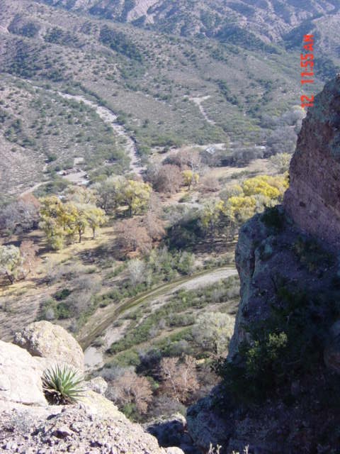
View looking NW down canyon
view of creek from ledge

View of Chimney top 2
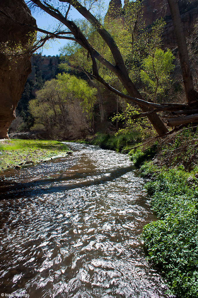
Aravaipa Creek

Walls of Stone

Bill aerial target near chimney

Holdout and Black Rock Canyons

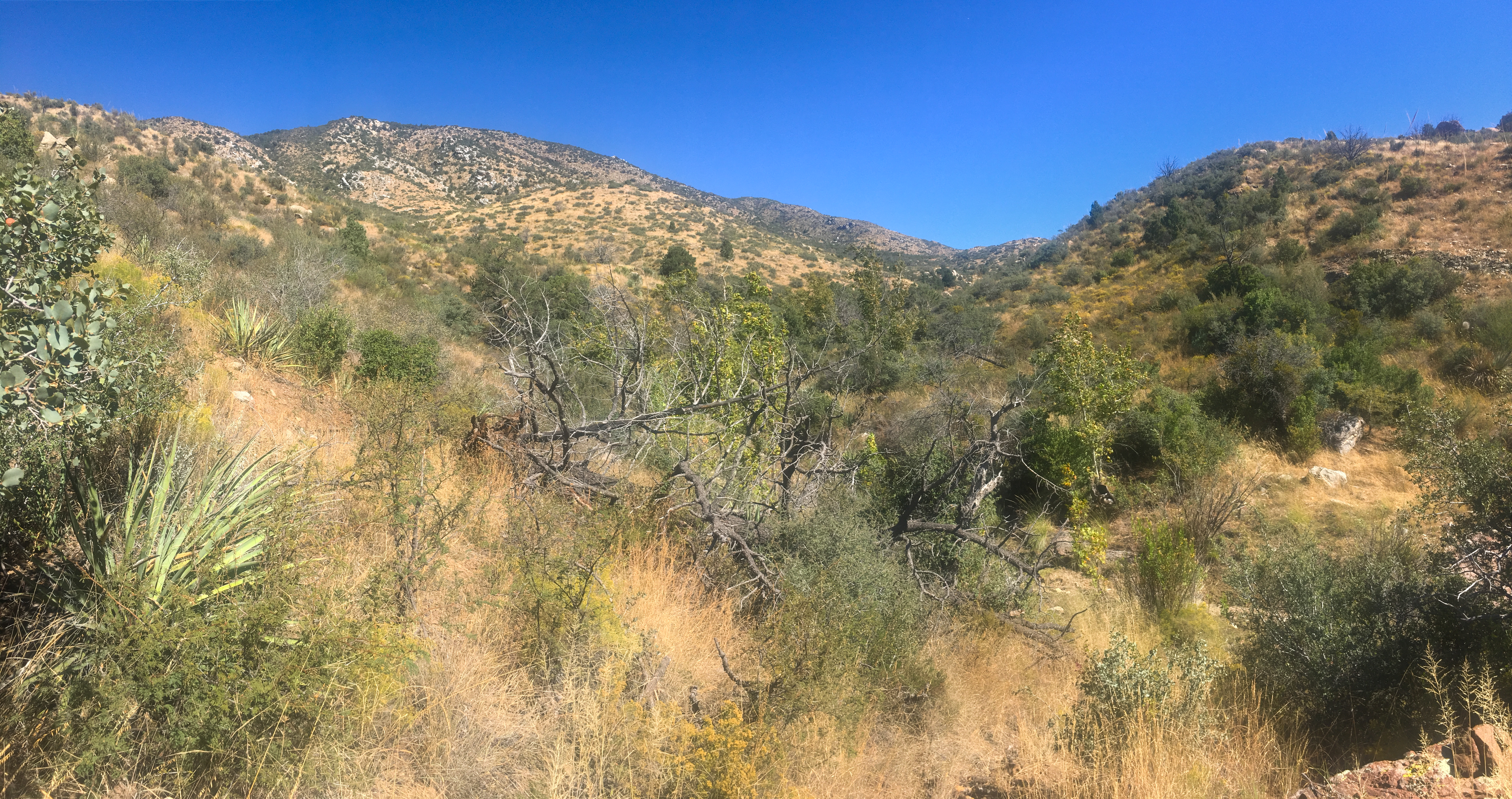
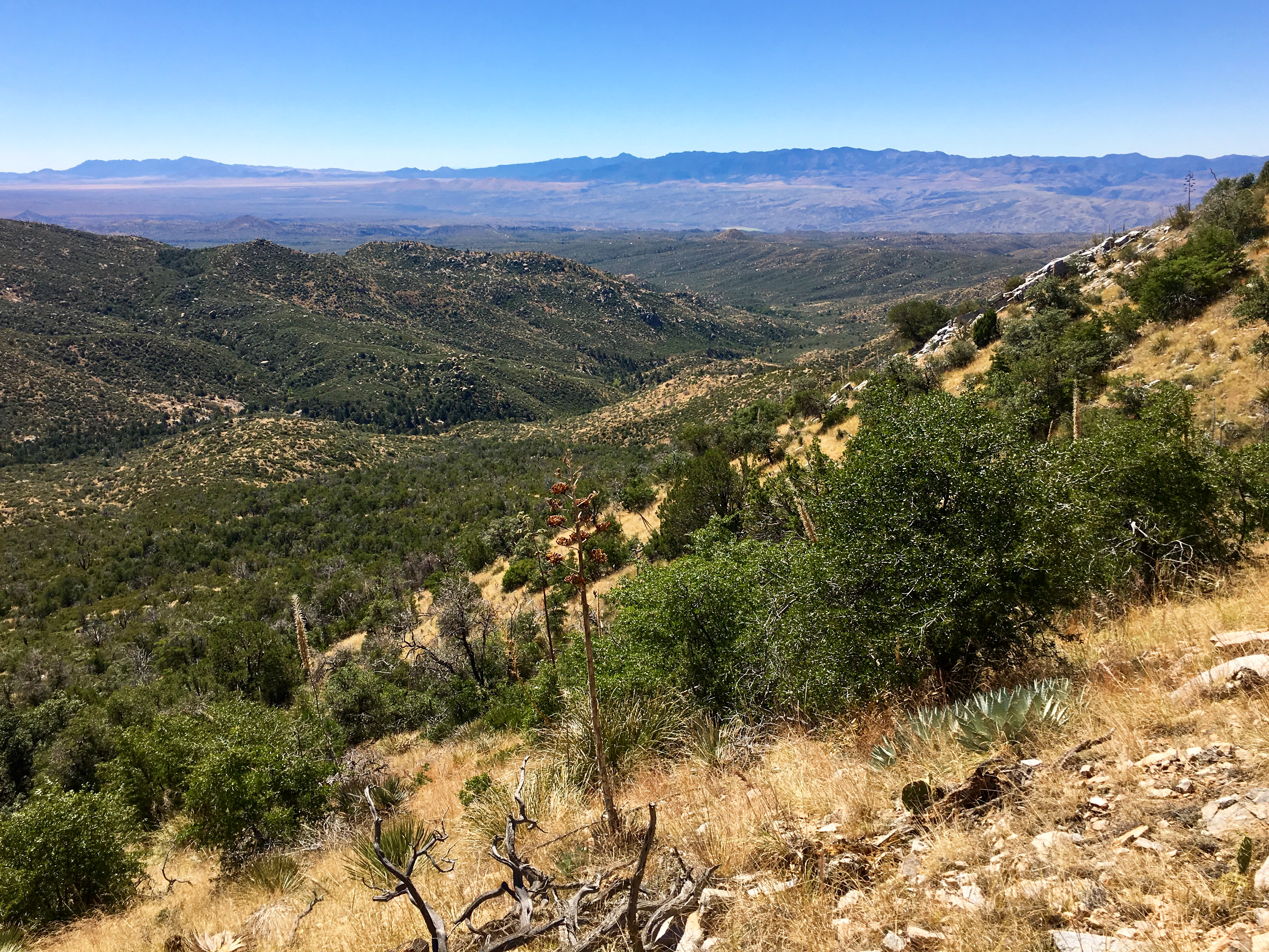
multi-range pano from Cottonwood Trail

large panorama of the Pinalenos, Winchesters, and Galiuros from the Cottonwood Trail in the Santa Teresa Mountains.

another panorama of the Pinalenos, Winchesters, and Galiuros from the Cottonwood Trail in the Santa Teresa Mountains.

yet another panorama of the Pinalenos, Winchesters, and Galiuros from the Cottonwood Trail in the Santa Teresa Mountains.

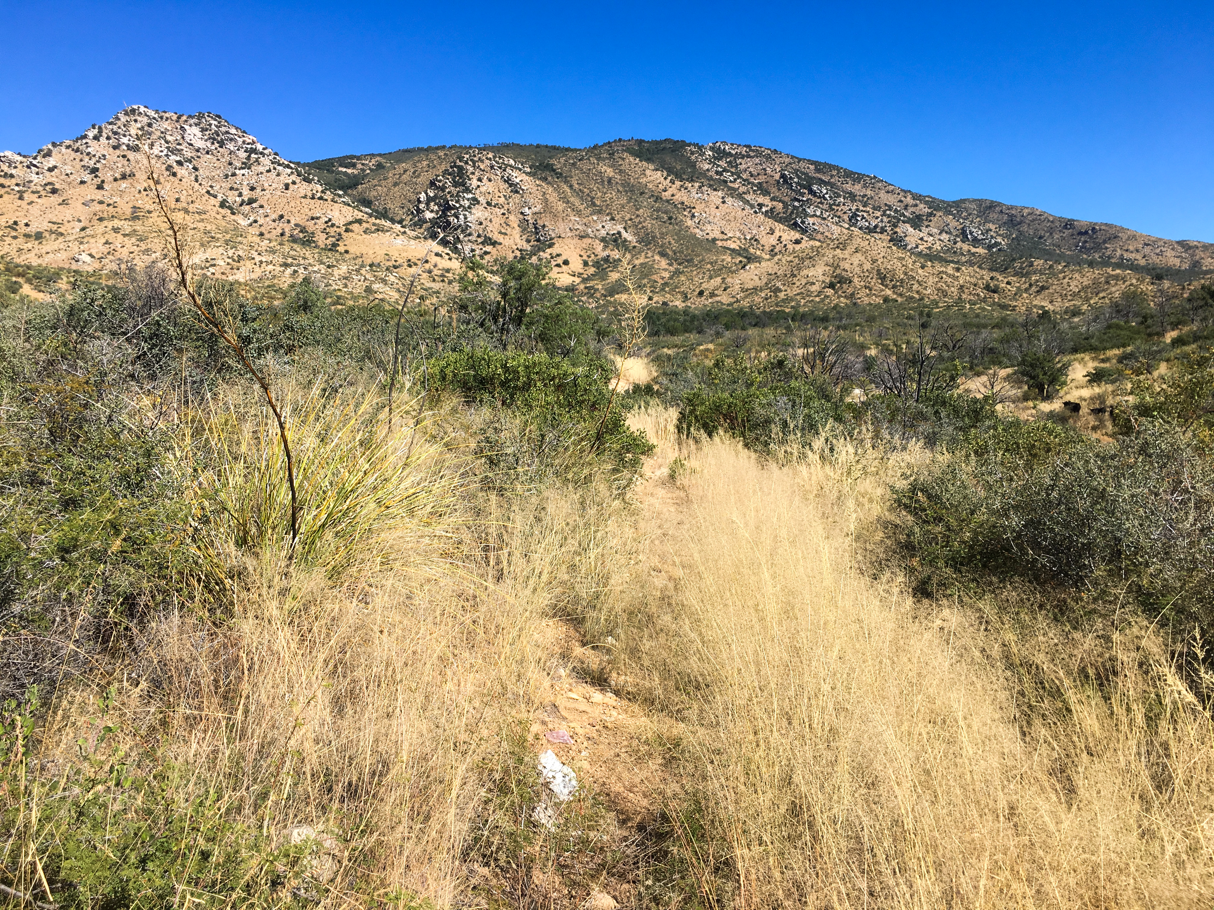
Cottonwood Mountain Trail

fun rocks around Holdout Canyon, Santa Teresa Wilderness
Cottonwood Mountain from near Sand Tank

Holdout and Black Rock Canyons from near Cottonwood Mountain
Cottonwood Mountain from near the trailhead

looking south from the Cottonwood Mountain trail towards the Winchesters and Galiuros
The Winchester Mountains and Galiuro Mountains from the Cottonwood Trail in the Santa Teresa Mountains

pines at the saddle on the way to Cottonwood Mountain
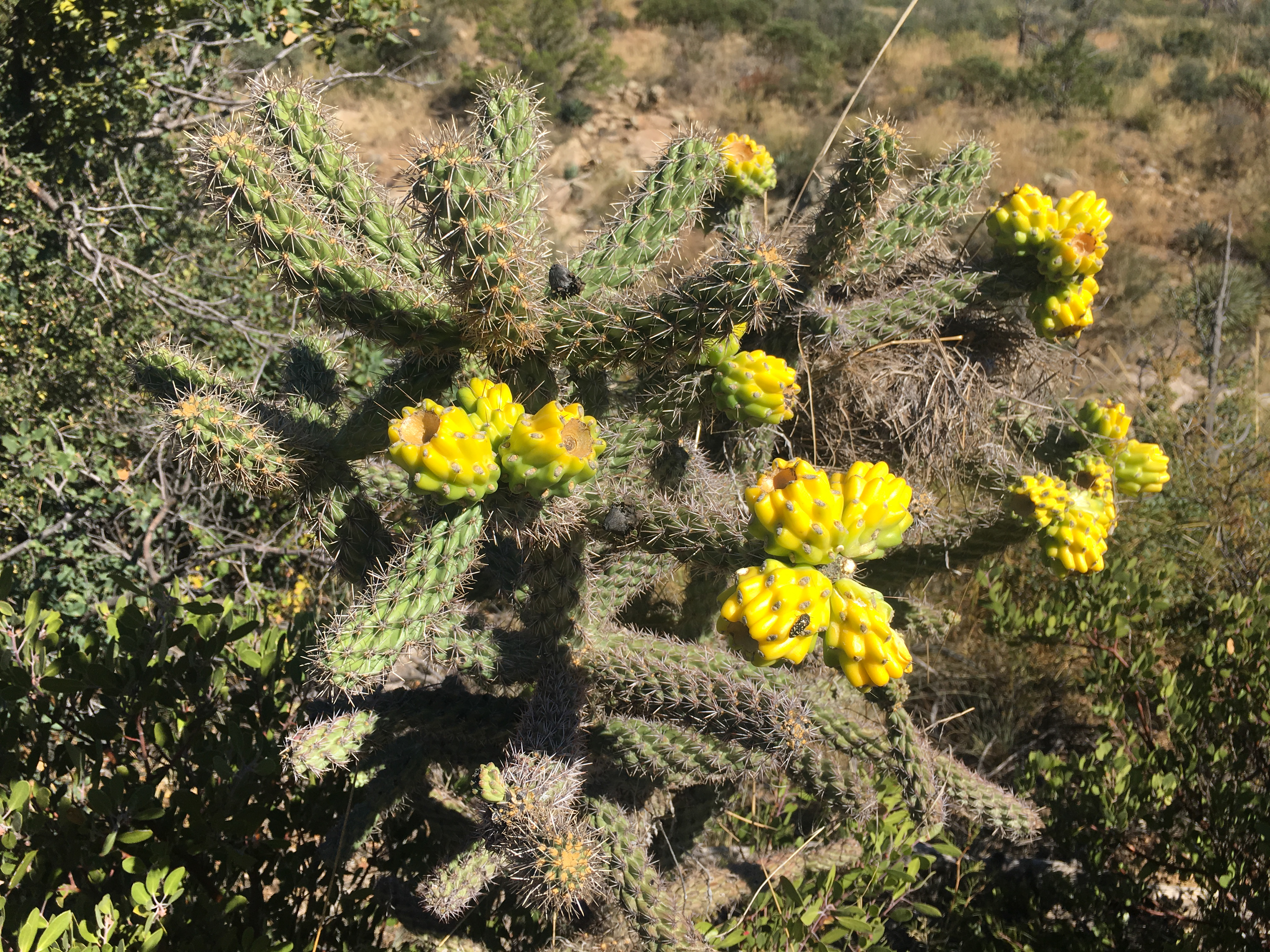
fun cactus along the Cottonwood Mountain trail
Topographic Map of Klondyke, AZ, USA
Find elevation by address:

Places near Klondyke, AZ, USA:
Klondyke Rd, Willcox, AZ, USA
Kennedy Peak
E Lewis Ranch Rd, Winkelman, AZ, USA
88965 E Aravaipa Rd
Main St, Mammoth, AZ, USA
Mammoth
Bassett Peak
Sunset Loop Rd, Willcox, AZ, USA
86160 E Bentwood St
16755 Redington Rd
16701 N San Pedro River Rd
16001 Redington Rd
406 S Ave B
San Manuel
North Redington Road
North Redington Road
North Redington Road
North Redington Road
North Redington Road
603 W 4th Ave
Recent Searches:
- Elevation of Corso Fratelli Cairoli, 35, Macerata MC, Italy
- Elevation of Tallevast Rd, Sarasota, FL, USA
- Elevation of 4th St E, Sonoma, CA, USA
- Elevation of Black Hollow Rd, Pennsdale, PA, USA
- Elevation of Oakland Ave, Williamsport, PA, USA
- Elevation of Pedrógão Grande, Portugal
- Elevation of Klee Dr, Martinsburg, WV, USA
- Elevation of Via Roma, Pieranica CR, Italy
- Elevation of Tavkvetili Mountain, Georgia
- Elevation of Hartfords Bluff Cir, Mt Pleasant, SC, USA