Elevation map of Kagera Region, Tanzania
Location: Tanzania >
Longitude: 31.2626366
Latitude: -2.3751124
Elevation: 1199m / 3934feet
Barometric Pressure: 88KPa
Elevation Map:
Satellite Map:
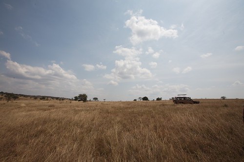
Related Photos:
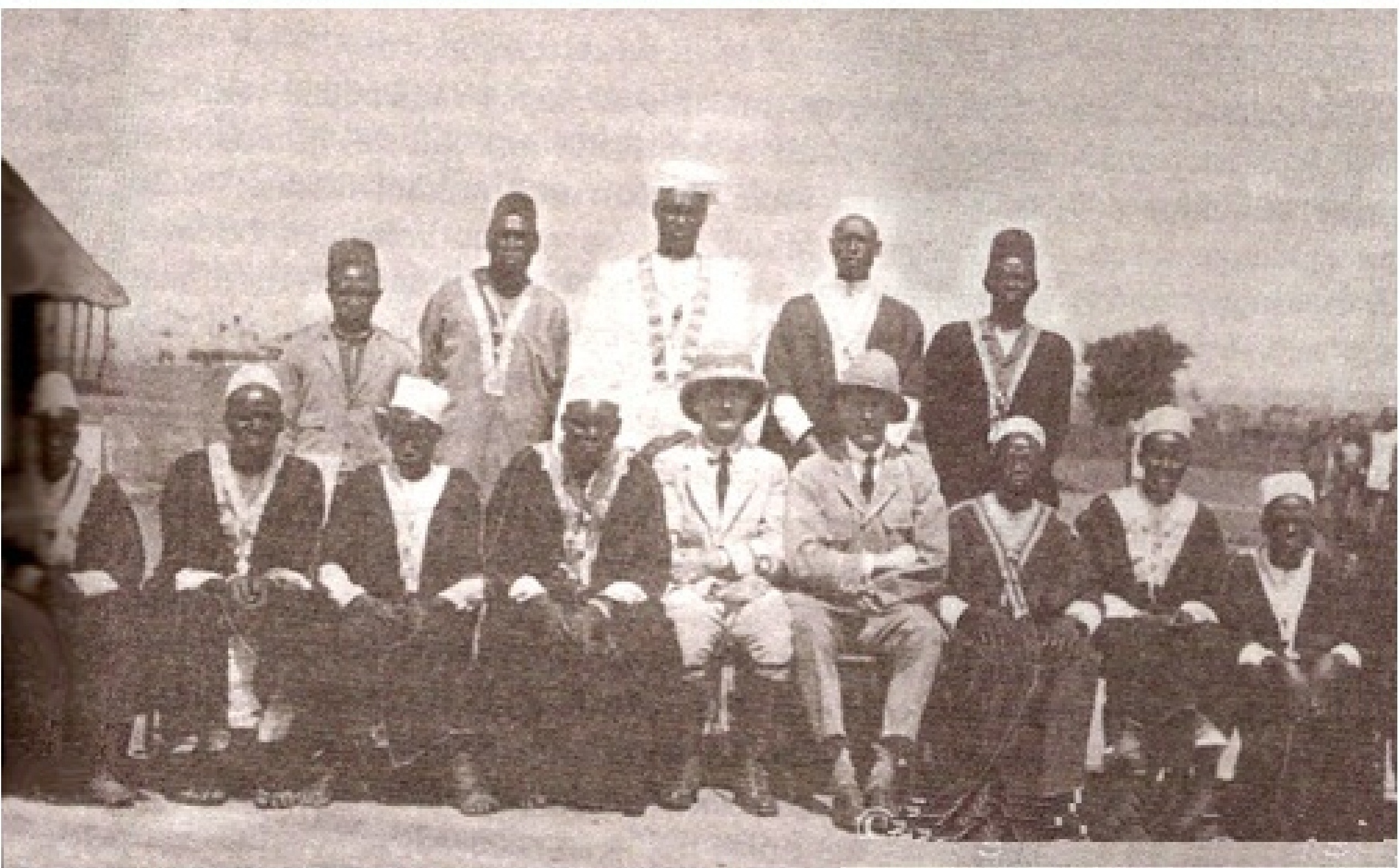
opi 1918

Image from page 436 of "In wildest Africa : the record of a hunting and exploration trip through Uganda, Victoria Nyanza, the Kilimanjaro region and British East Africa, with an account of an ascent of the snowfields of Mount Kibo, in East Central Africa,
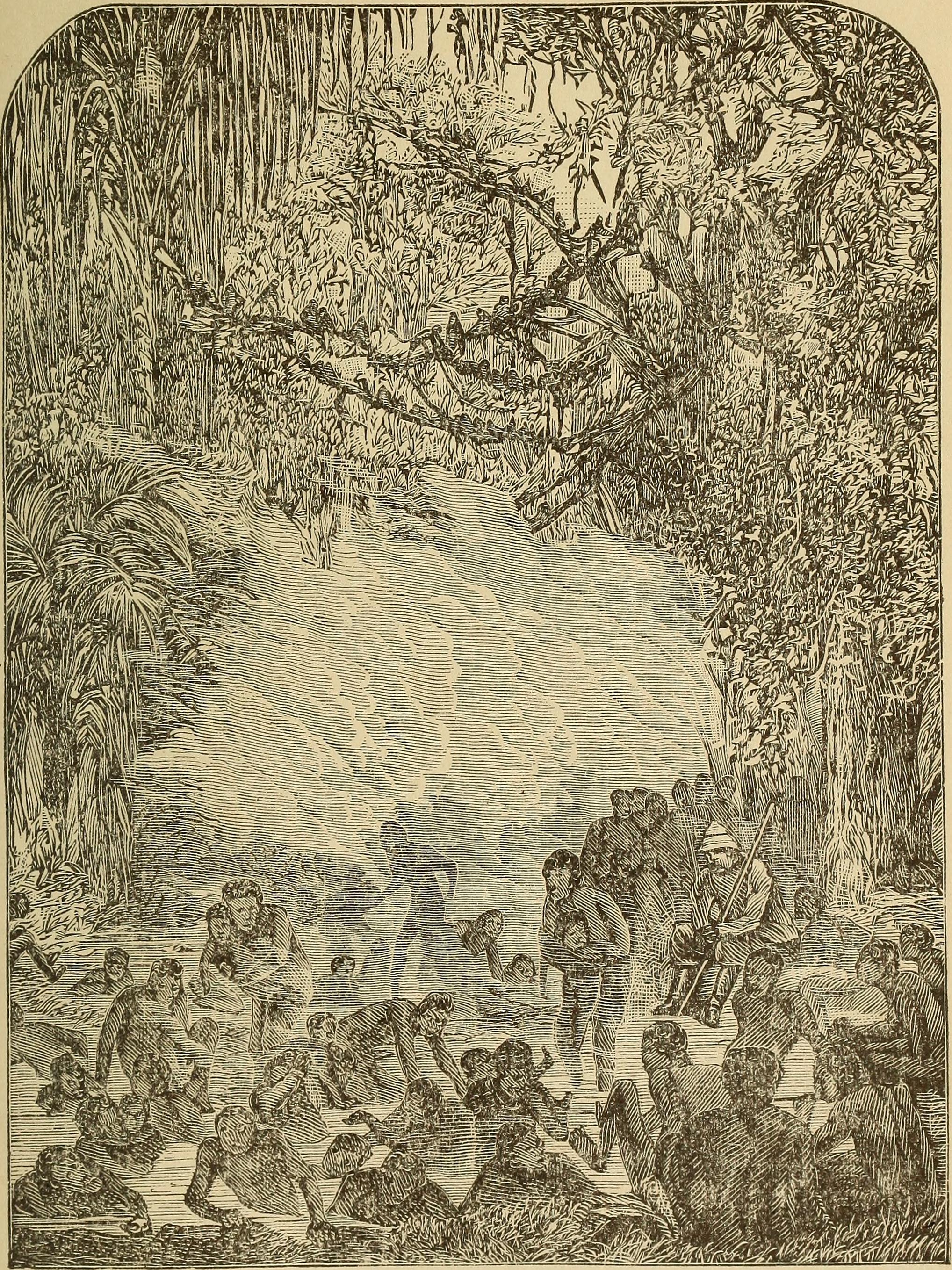
Image from page 488 of "Daring deeds in the tropics. A thrilling narrative of remarkable adventures, terrible experiences, amazing achievements and important discoveries of great travelers in southern climes" (1894)
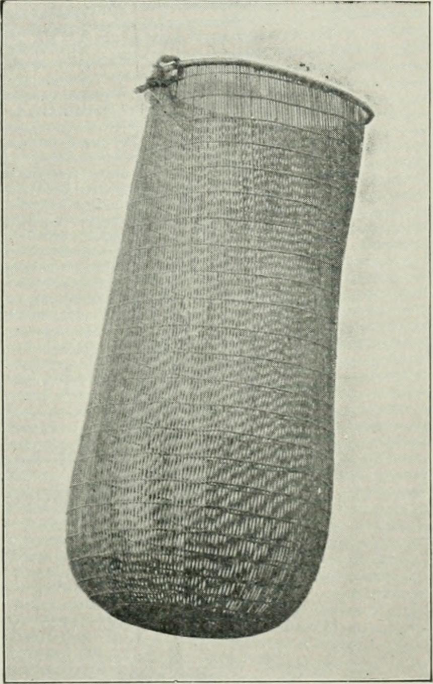
Image from page 114 of "The Victoria Nyanza; the land, the races and their customs, with specimens of some of the dialects" (1899)
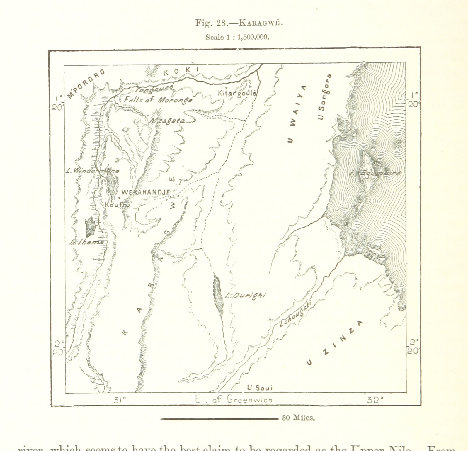
Image taken from page 120 of 'The Earth and its Inhabitants. The European section of the Universal Geography by E. Reclus. Edited by E. G. Ravenstein. Illustrated by ... engravings and maps'
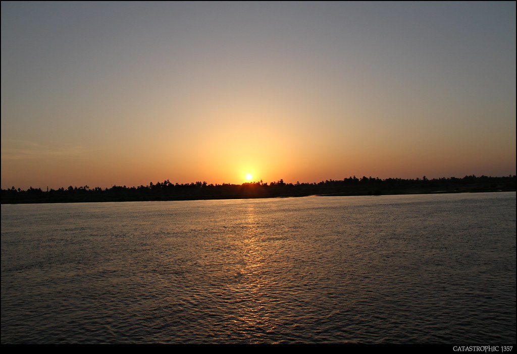
Nile River 01 (Asfun al Matainah - Egypt)

Nile River 02 (Asfun al Matainah - Egypt)
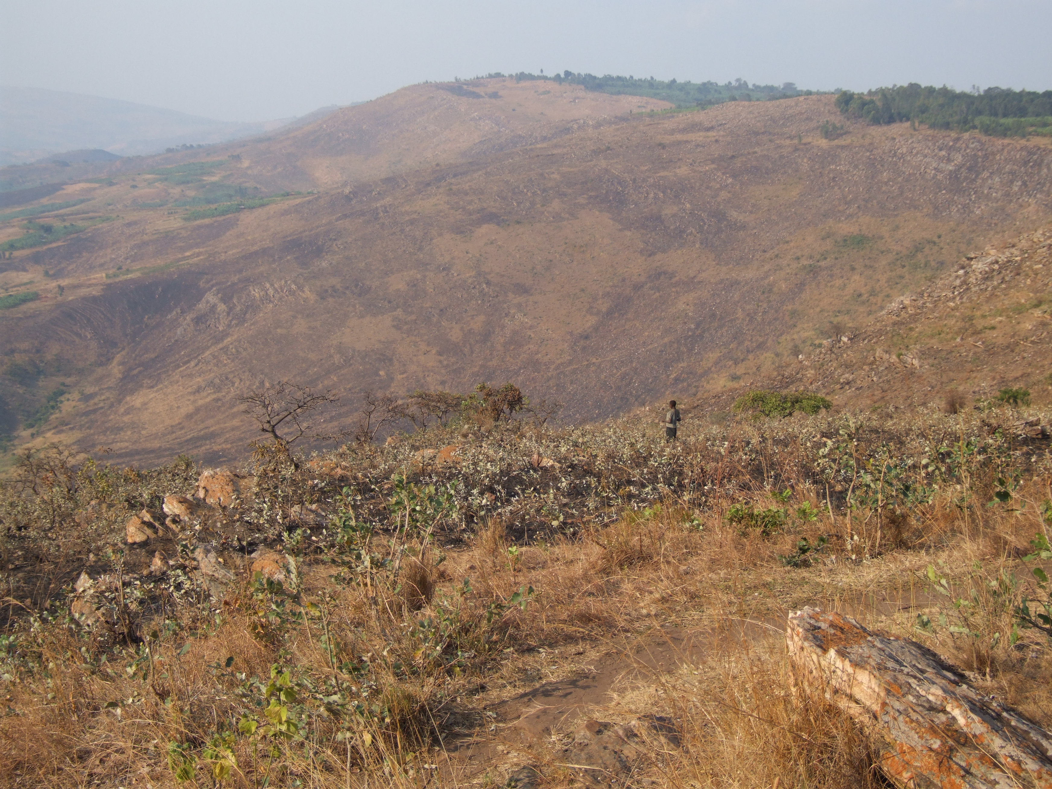
Kagera Hills
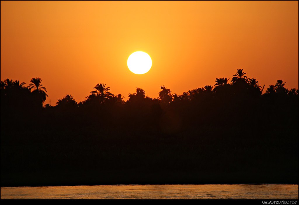
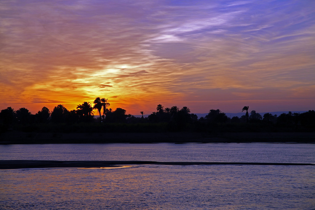
Atardecer en el Nilo 2 -Sunset on the Nile - Tramonto sul Nilo

Kagera region 6700 Tanzania
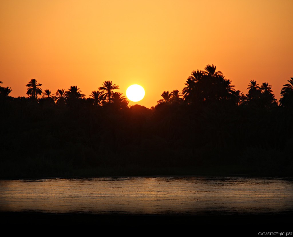
Atardecer en el Nilo 3 - Sunset on the Nile - Tramonto sul Nilo
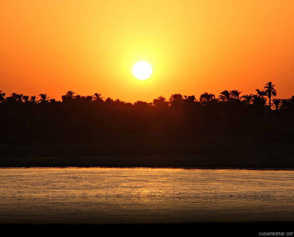
Atardecer en el Nilo 1 - Sunset on the Nile - Tramonto sul Nilo
Kagera National Park - Rwanda
Atardecer en el Nilo 4 - Sunset on the Nile - Tramonto sul Nilo
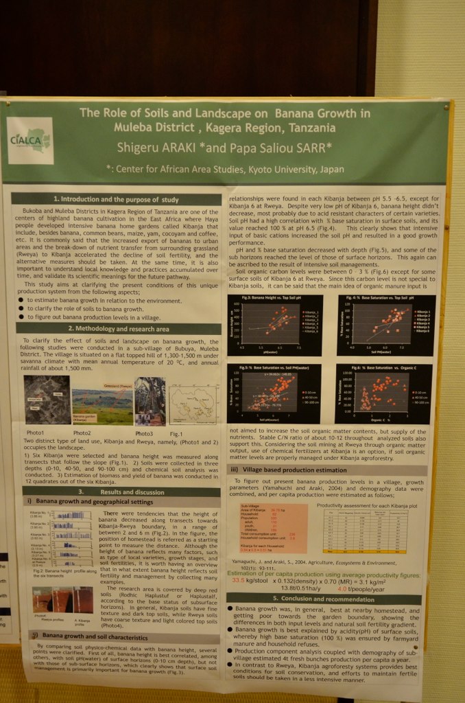
Araki et al.
Topographic Map of Kagera Region, Tanzania
Find elevation by address:

Places in Kagera Region, Tanzania:
Places near Kagera Region, Tanzania:
Ngara Kagera Tanzania
Ruziba
Biharamulo
Biharamulo
Nyisanzi
Muleba
Chato
Nshamba
Muleba
Kamachumu
Karagwe
Geita
Recent Searches:
- Elevation of Corso Fratelli Cairoli, 35, Macerata MC, Italy
- Elevation of Tallevast Rd, Sarasota, FL, USA
- Elevation of 4th St E, Sonoma, CA, USA
- Elevation of Black Hollow Rd, Pennsdale, PA, USA
- Elevation of Oakland Ave, Williamsport, PA, USA
- Elevation of Pedrógão Grande, Portugal
- Elevation of Klee Dr, Martinsburg, WV, USA
- Elevation of Via Roma, Pieranica CR, Italy
- Elevation of Tavkvetili Mountain, Georgia
- Elevation of Hartfords Bluff Cir, Mt Pleasant, SC, USA