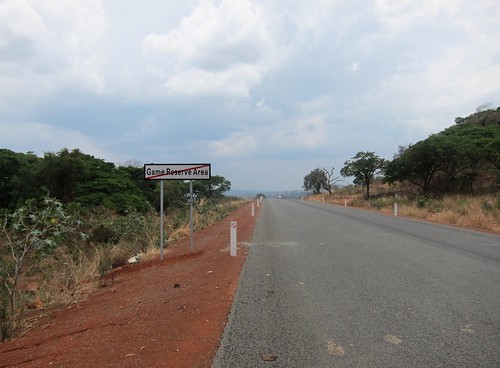
Elevation of Ruziba, Tanzania
Location: Tanzania > Kagera Region > Biharamulo >
Longitude: 31.2877964
Latitude: -2.5779219
Elevation: 1425m / 4675feet
Barometric Pressure: 85KPa
Related Photos:
Topographic Map of Ruziba, Tanzania
Find elevation by address:

Places near Ruziba, Tanzania:
Biharamulo
Ngara Kagera Tanzania
Kagera Region
Biharamulo
Nyisanzi
Chato
Muleba
Muleba
Nshamba
Geita
Kamachumu
Karagwe
Recent Searches:
- Elevation of Corso Fratelli Cairoli, 35, Macerata MC, Italy
- Elevation of Tallevast Rd, Sarasota, FL, USA
- Elevation of 4th St E, Sonoma, CA, USA
- Elevation of Black Hollow Rd, Pennsdale, PA, USA
- Elevation of Oakland Ave, Williamsport, PA, USA
- Elevation of Pedrógão Grande, Portugal
- Elevation of Klee Dr, Martinsburg, WV, USA
- Elevation of Via Roma, Pieranica CR, Italy
- Elevation of Tavkvetili Mountain, Georgia
- Elevation of Hartfords Bluff Cir, Mt Pleasant, SC, USA


