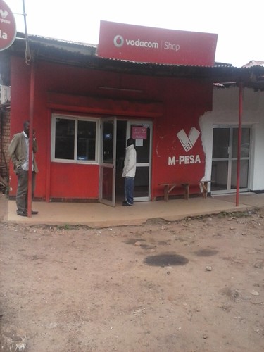
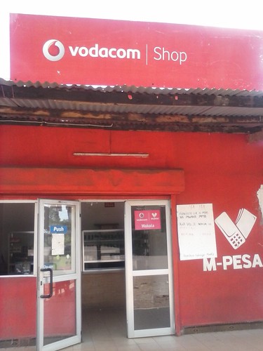
Elevation of Ngara, Tanzania
Location: Tanzania > Kagera Region >
Longitude: 30.6458749
Latitude: -2.495627
Elevation: 1775m / 5823feet
Barometric Pressure: 82KPa
Related Photos:
Topographic Map of Ngara, Tanzania
Find elevation by address:

Places near Ngara, Tanzania:
Unnamed Road
Unnamed Road
Kirehe
Birenga
Kibungo
Muyinga
Unnamed Road
Mpira
Unnamed Road
Rwamagana
Kayonza
Bugesera
Rwamagana
Unnamed Road
Bicumbi
Rn3
Eastern Province
Unnamed Road
Unnamed Road
Unnamed Road
Recent Searches:
- Elevation of Corso Fratelli Cairoli, 35, Macerata MC, Italy
- Elevation of Tallevast Rd, Sarasota, FL, USA
- Elevation of 4th St E, Sonoma, CA, USA
- Elevation of Black Hollow Rd, Pennsdale, PA, USA
- Elevation of Oakland Ave, Williamsport, PA, USA
- Elevation of Pedrógão Grande, Portugal
- Elevation of Klee Dr, Martinsburg, WV, USA
- Elevation of Via Roma, Pieranica CR, Italy
- Elevation of Tavkvetili Mountain, Georgia
- Elevation of Hartfords Bluff Cir, Mt Pleasant, SC, USA


