Elevation map of Missenyi, Tanzania
Location: Tanzania > Kagera Region >
Longitude: 31.3541631
Latitude: -1.1009026
Elevation: 1170m / 3839feet
Barometric Pressure: 88KPa
Elevation Map:
Satellite Map:
Related Photos:


NorthernCorridorPhotography-Uganda-321

TMEA-Uganda-324
TMEA-Uganda-323

TMEA-Uganda-322

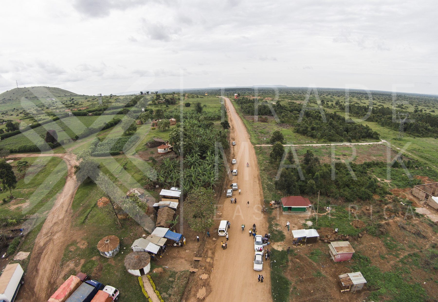
Mutukula Town, looking into Tanzania.

Heros Memorial

Water seller Steven
Topographic Map of Missenyi, Tanzania
Find elevation by address:

Places in Missenyi, Tanzania:
Places near Missenyi, Tanzania:
Recent Searches:
- Elevation of Corso Fratelli Cairoli, 35, Macerata MC, Italy
- Elevation of Tallevast Rd, Sarasota, FL, USA
- Elevation of 4th St E, Sonoma, CA, USA
- Elevation of Black Hollow Rd, Pennsdale, PA, USA
- Elevation of Oakland Ave, Williamsport, PA, USA
- Elevation of Pedrógão Grande, Portugal
- Elevation of Klee Dr, Martinsburg, WV, USA
- Elevation of Via Roma, Pieranica CR, Italy
- Elevation of Tavkvetili Mountain, Georgia
- Elevation of Hartfords Bluff Cir, Mt Pleasant, SC, USA