Elevation of Masaka, Uganda
Location: Uganda > Central Region >
Longitude: 31.7537404
Latitude: -0.3267383
Elevation: 1227m / 4026feet
Barometric Pressure: 87KPa
Elevation Map:
Satellite Map:
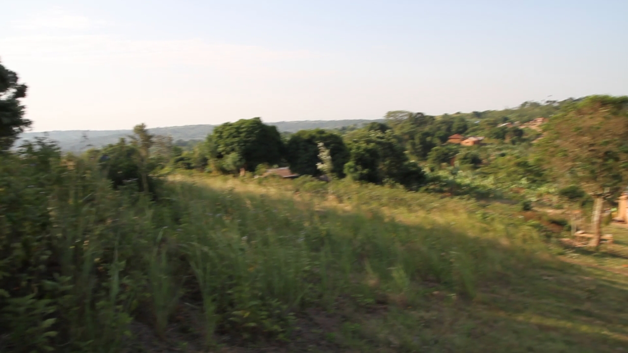
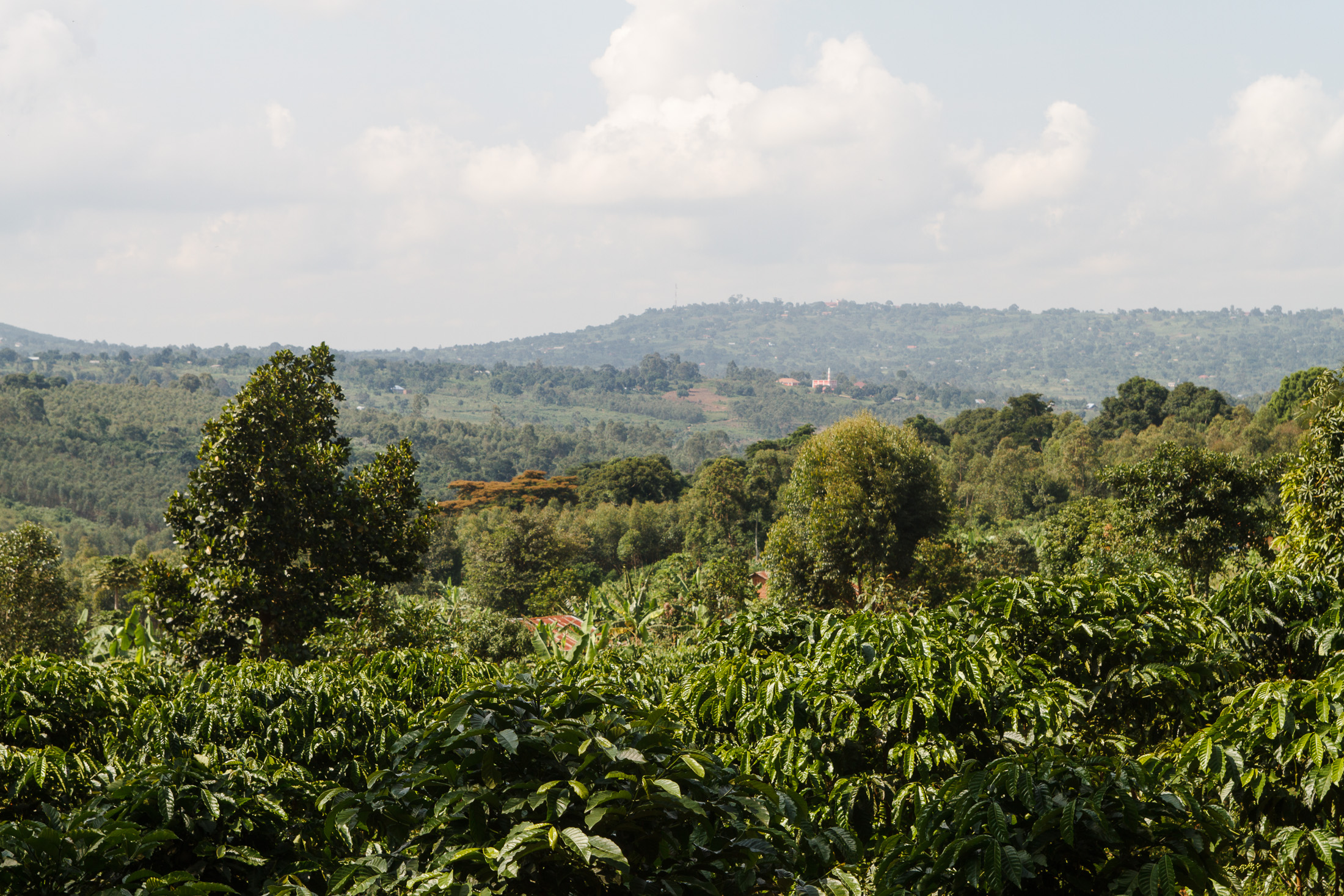
Related Photos:
Isaac Newton School #519

Evening hours on the lake

Evening hours on the lake

Evening hours on the lake
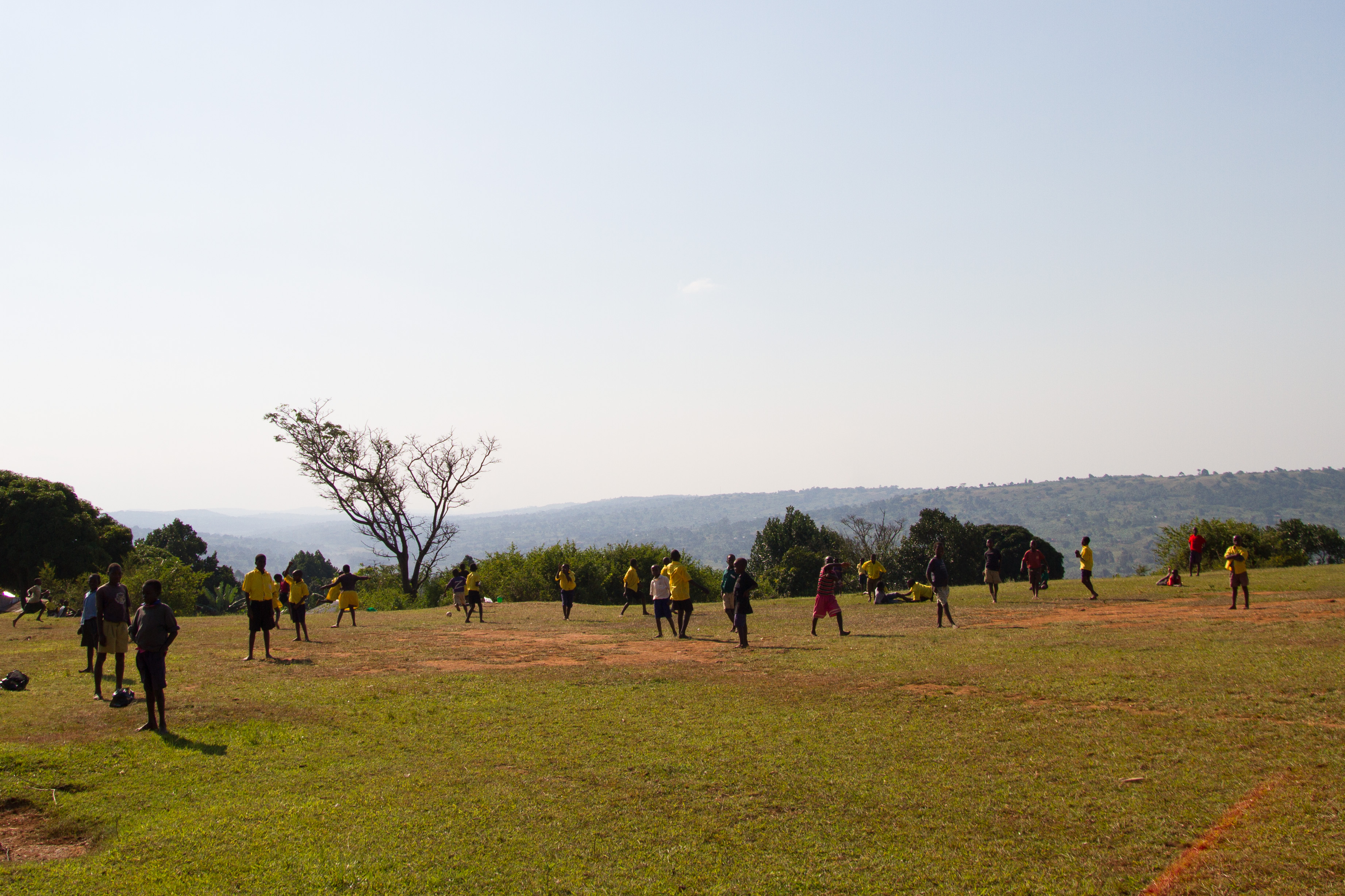
Isaac Newton School #298
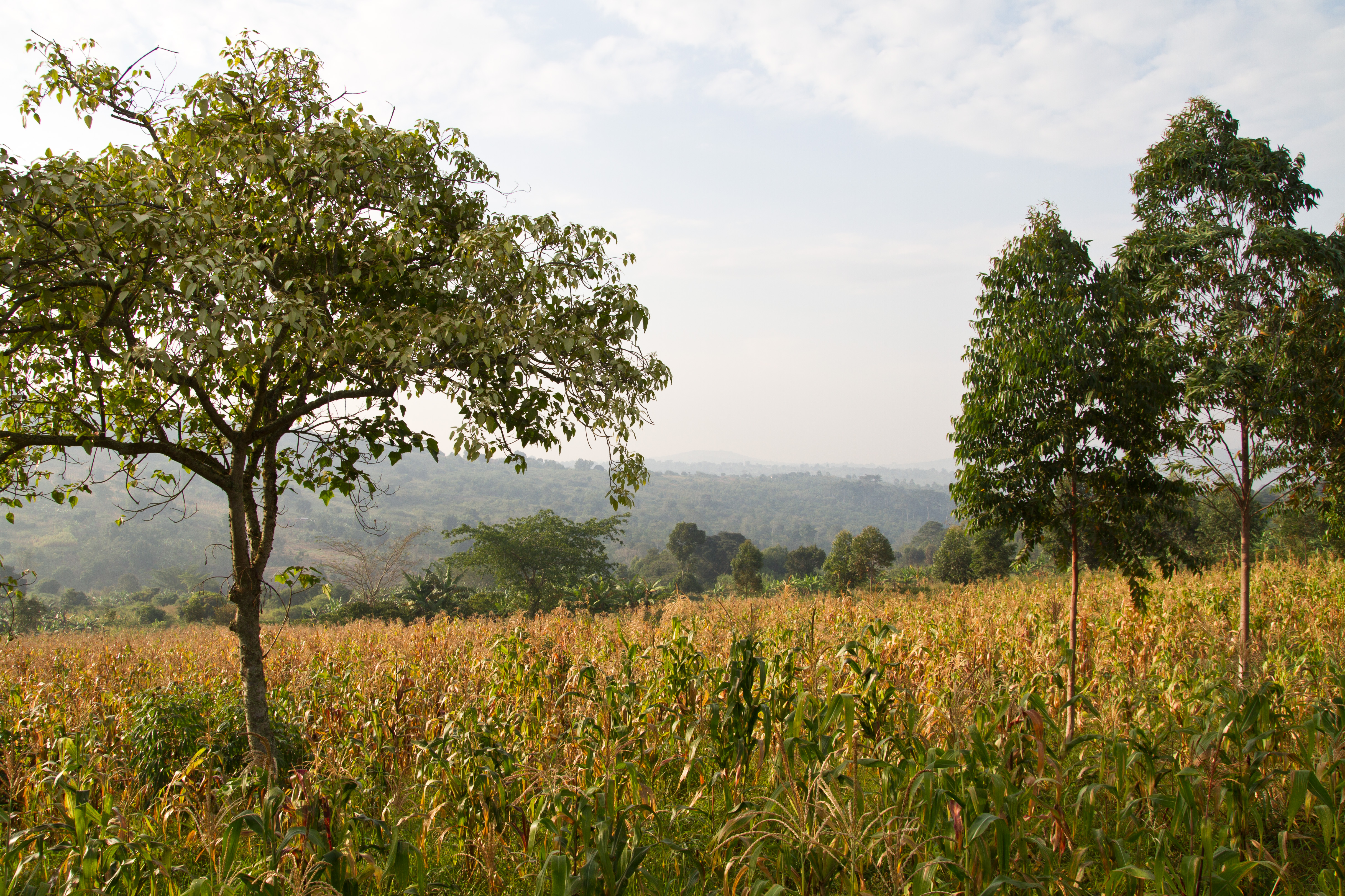
Rote Erde - schöner Baum
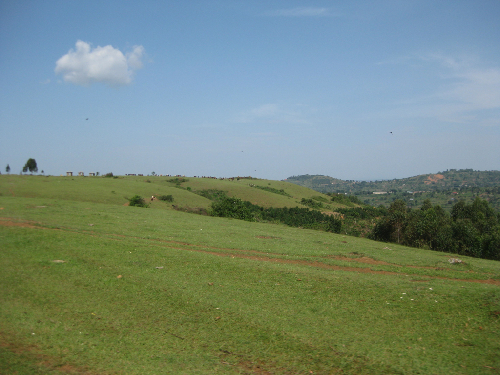
Masaka Prayer Mountain
Isaac Newton School #496

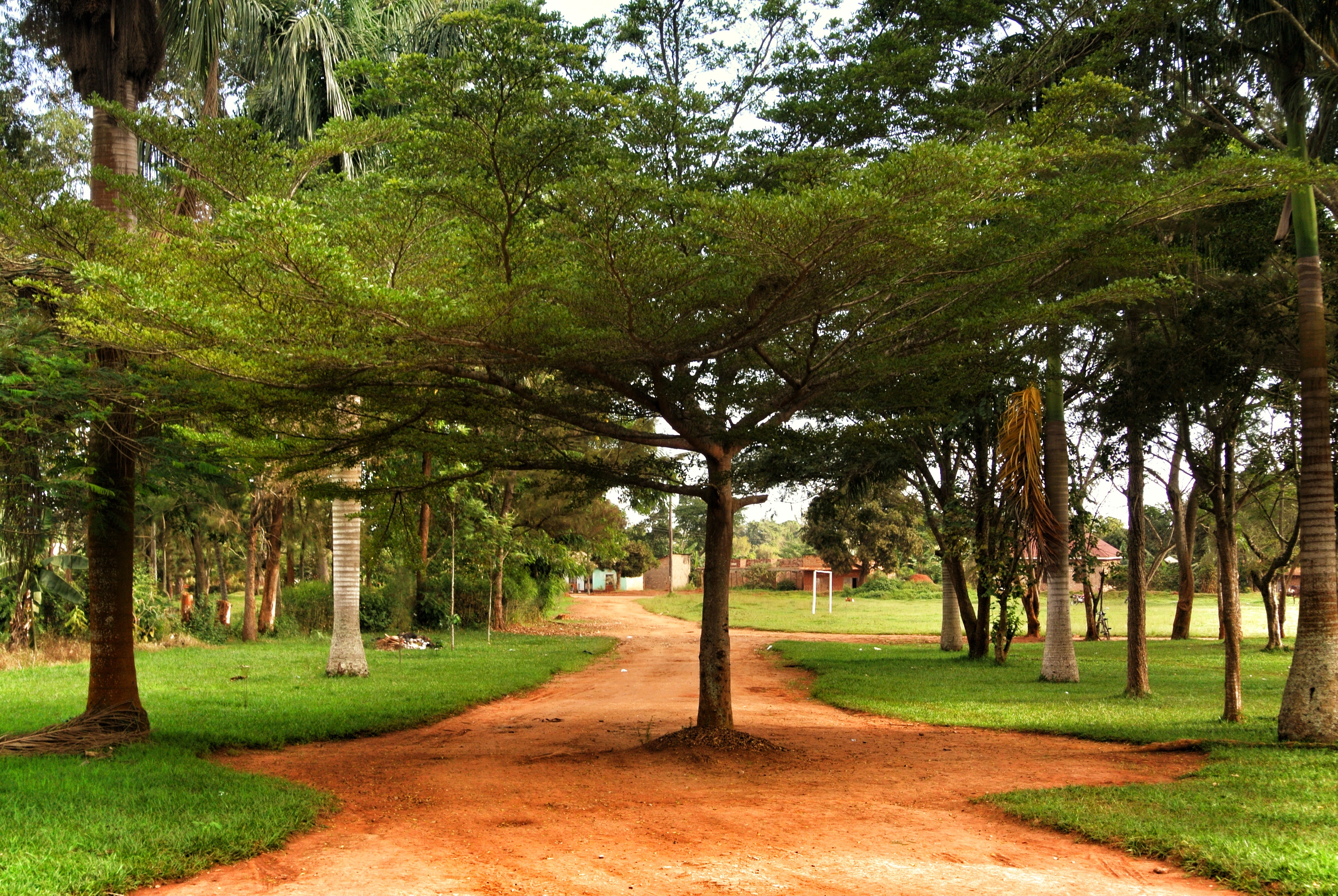
Uganda2015-2929
Uganda2015-2585
Topographic Map of Masaka, Uganda
Find elevation by address:

Places near Masaka, Uganda:
Recent Searches:
- Elevation of Corso Fratelli Cairoli, 35, Macerata MC, Italy
- Elevation of Tallevast Rd, Sarasota, FL, USA
- Elevation of 4th St E, Sonoma, CA, USA
- Elevation of Black Hollow Rd, Pennsdale, PA, USA
- Elevation of Oakland Ave, Williamsport, PA, USA
- Elevation of Pedrógão Grande, Portugal
- Elevation of Klee Dr, Martinsburg, WV, USA
- Elevation of Via Roma, Pieranica CR, Italy
- Elevation of Tavkvetili Mountain, Georgia
- Elevation of Hartfords Bluff Cir, Mt Pleasant, SC, USA