Elevation of Joy Ln, Westcliffe, CO, USA
Location: United States > Colorado > Westcliffe >
Longitude: -105.27524
Latitude: 38.0470453
Elevation: 2766m / 9075feet
Barometric Pressure: 72KPa
Elevation Map:
Satellite Map:
Related Photos:

Bishops Castle 5

Back in Time

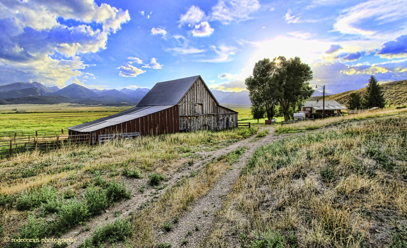
Mingus Homestead Barn

Look Down

3D - Leaf Springs

Risking it all...

That Shot

Castle View

Aerial view from plane

The view from the small tower

Dragon and Sphere
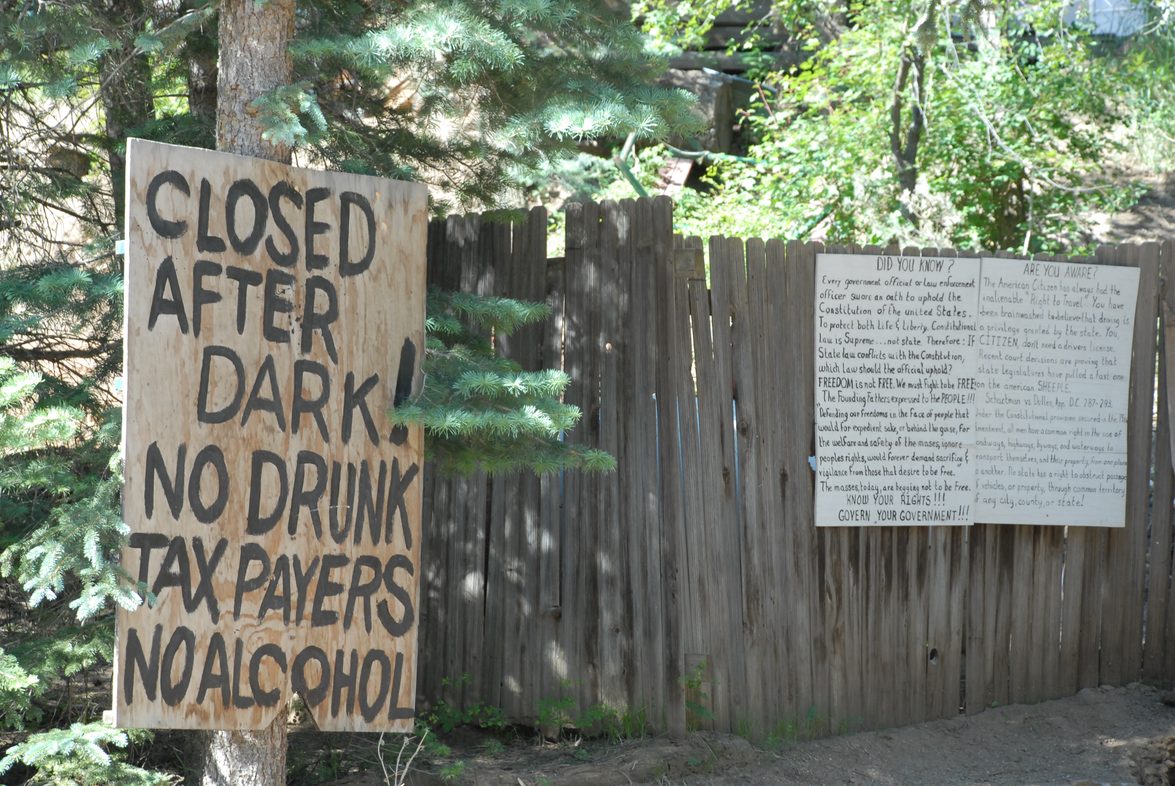
NO DRUNK TAXPAYERS!

View to the N/NW form the property

Roadside Grazing

Pano of the view to the back from the top

Sangre Panorama

View of the castle

Let Me Tell You

View to the N/NW form the property

Castle view

Almost a full view of Bishops Castle

Colorado's Sangre de Cristos from Highway 96

Target Practice

Bishop Castle view from the top

Blood Moon Over Blood Mountains
Dusty Dead End

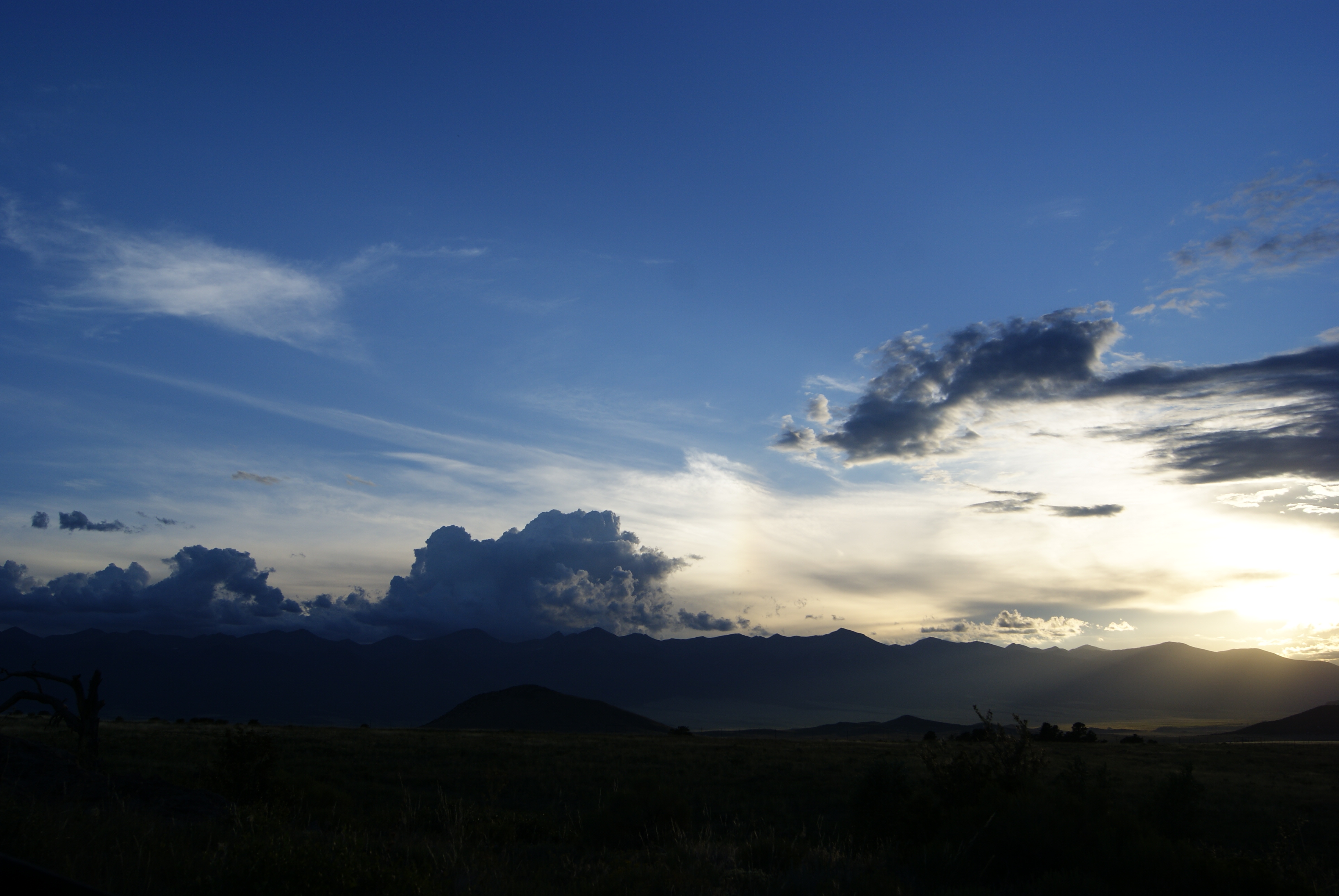
Storm Pano Westcliffe

Clarkson Homestead
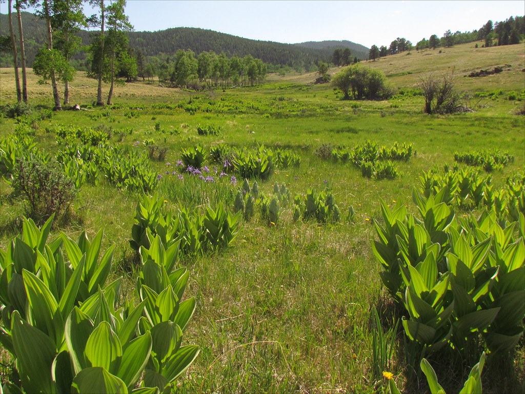
Cornhusk Lilies: San Isabel National Forest, Colorado (CO)

Poor Girl Mine

Low Clouds

San Isabel National Forest

Custer County Ranch (Custer County, Colorado)
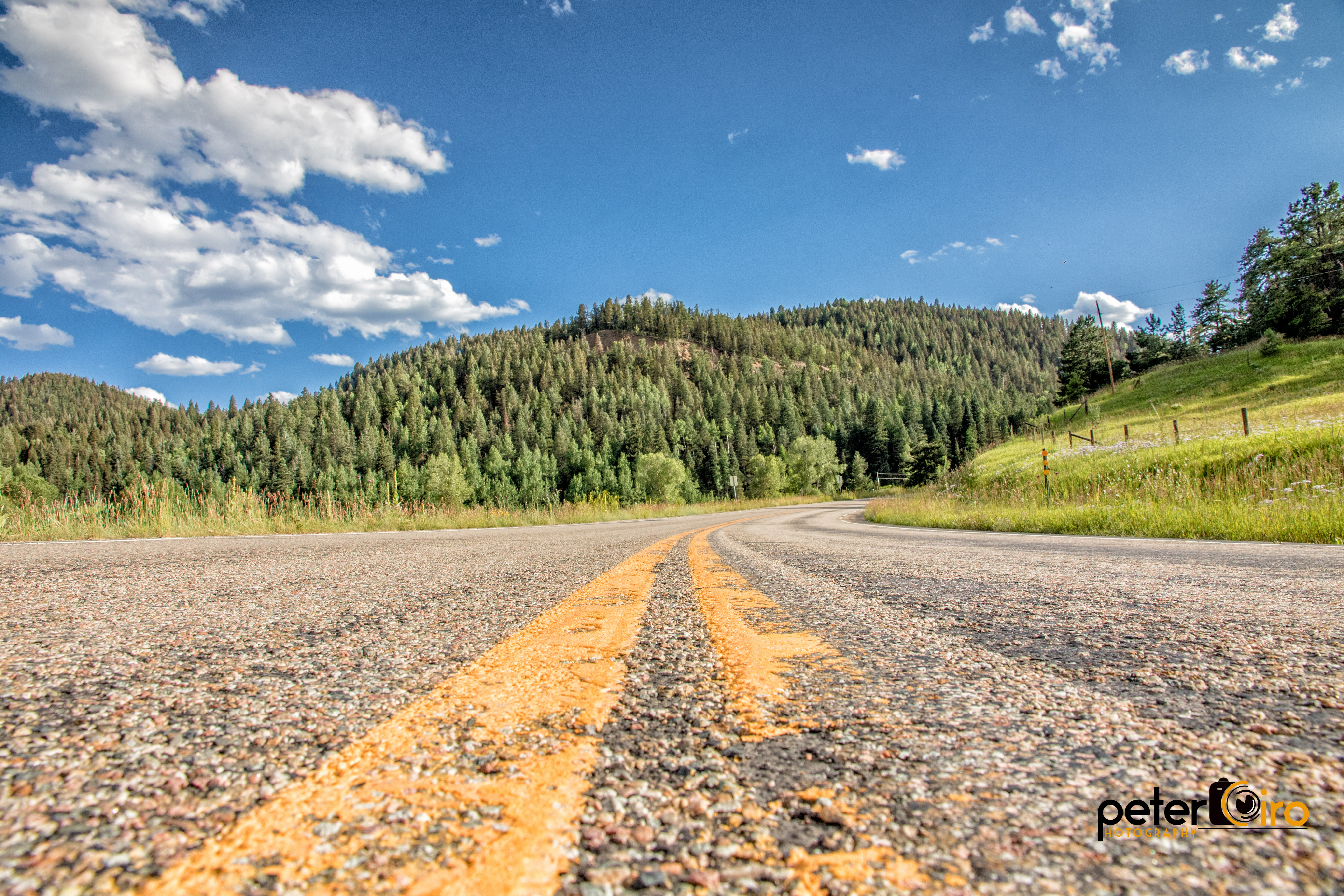
Winding Road near Wetmore, Colorado
Setting Rays

Abandoned House in the San Isabel National Forest to the Southwest of Pueblo, Colorado

Long Shadows

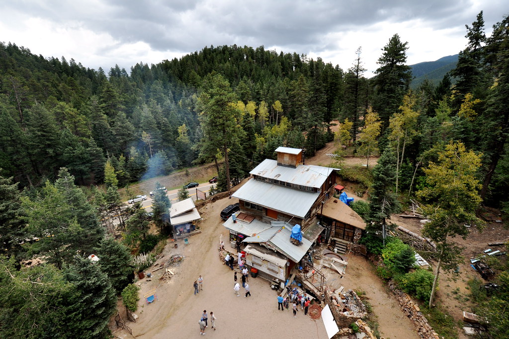
Bishop's Castle
Lay of the Land
Topographic Map of Joy Ln, Westcliffe, CO, USA
Find elevation by address:

Places near Joy Ln, Westcliffe, CO, USA:
230 Schulze Ranch Rd
380 High Spirit Trail
1963 Music Mountain Dr
5305 Co Rd 323
252 Victorian Way
Custer County
1504 Black Fawn Ln
370 Todd Way
615 Spread Eagle Dr
344 Victorian Way
268 Spread Eagle Dr
504 Black Fawn Ln
246 Co Rd 327
200 Rosita Way
651 Larkspur Ln
602 Sangre Dr
1005 Rito Alto Ave
720 Chyleen Terrace
43 Matterhorn Cir S
212 Matterhorn Cir S
Recent Searches:
- Elevation of Corso Fratelli Cairoli, 35, Macerata MC, Italy
- Elevation of Tallevast Rd, Sarasota, FL, USA
- Elevation of 4th St E, Sonoma, CA, USA
- Elevation of Black Hollow Rd, Pennsdale, PA, USA
- Elevation of Oakland Ave, Williamsport, PA, USA
- Elevation of Pedrógão Grande, Portugal
- Elevation of Klee Dr, Martinsburg, WV, USA
- Elevation of Via Roma, Pieranica CR, Italy
- Elevation of Tavkvetili Mountain, Georgia
- Elevation of Hartfords Bluff Cir, Mt Pleasant, SC, USA