Elevation of Todd Way, Westcliffe, CO, USA

Location: United States > Colorado > Westcliffe >

Longitude: -105.31925

Latitude: 38.0315223

Elevation: 2676m / 8780feet

Barometric Pressure: 73KPa

Elevation Map:

elevation map of Todd Way, Westcliffe, CO, USA

Satellite Map:

Satellite map of Todd Way, Westcliffe, CO, USA

Related Photos:

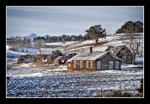
mountains nature landscape colorado hdr 3xp thechallengegame challengegamewinner
Back in Time
portrait gnome colorado
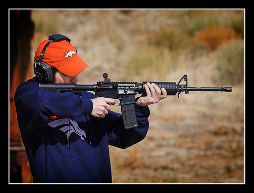
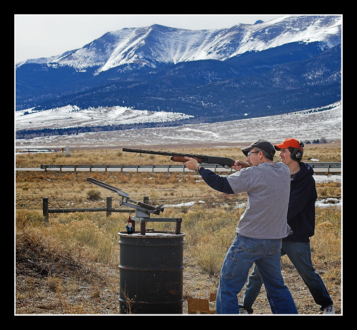
Target Practice
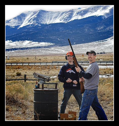
portrait nature landscape colorado broncos
Target Practice
usa plane geotagged colorado unitedstates aerial f22 d300 westcliffe 18200mm 62mm 18200mmf3556 camera:make=nikon camera:model=d300 lens:name=18200mmf3556 lens:type=dgvr exposure:ISO=1250 exposure:fnumber=f22 image:shot=395 lens:focallength=62 exposure:shutterspeed=12000 18200mmf3556dgvr imagerating event:code=200949 event:type=aerial roll:num=10488 image:docname=dsc6886jpg
Aerial view from plane
camping72807 westcliffeco
View to the N/NW form the property
portrait mountains nature landscape gnome colorado
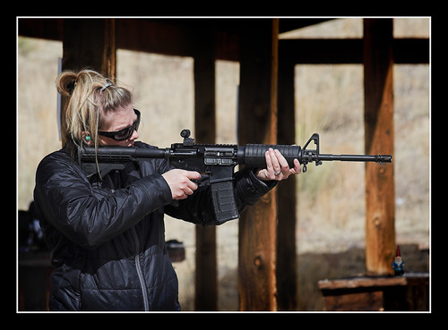
Clay Pigeon Killer
portrait mountains nature landscape gnome colorado
Happy Shooter
panorama sangredecristo
Sangre Panorama
camping72807 westcliffeco
View to the N/NW form the property
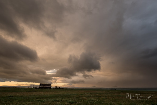
colorado westcliffe farm landscape outdoors outside clouds valley farmland ranch nikon d750
Farm of the Wet Mountain Valley
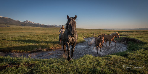
horses ranch cowboys cowgirls outside outdoors landscape mountains westcliffe sangredecristomountains nikon nikond750 western colorado
Cool Your Horses
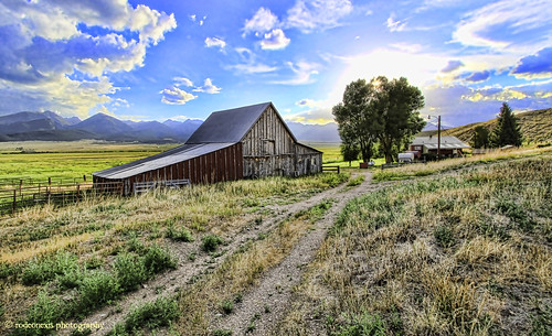
hdr greatsanddunes redbarn sangredecristorange crestonepeak crestoneneedle humboldtpeak coloradolandscapes cloudsoverthemountains silvercliffe coloradophotography musicpass westernglow jeremyweir ©rodeonexisphotography homesteadsofthewesternplains homesteadsofcolorado illuminatedplains greengrassandhay sunsetovertheplainsandhills westvliffe southeasternmountains
Dusty Dead End
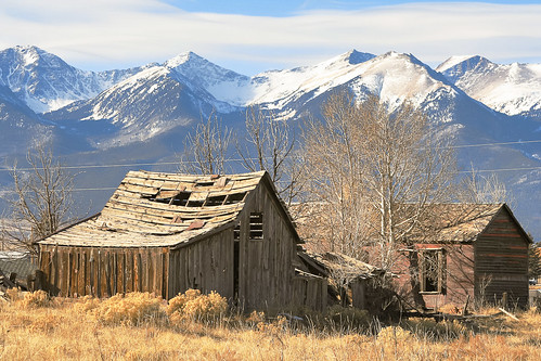
blue winter brown mountains abandoned architecture buildings colorado unitedstates barns historic rockymountains sangredecristomountains westcliffe silvercliff
Silvercliff History
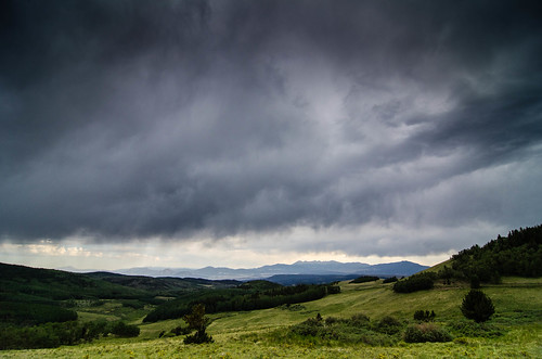
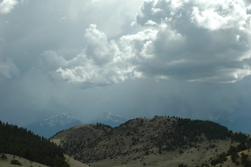
storm mountains clouds forest landscape nikon colorado unitedstates valley westcliffe sanisabel d7000
Low Clouds
ranch house mountains clouds buffalo cabin colorado wolf farm springs shack
Little House on the Prarie
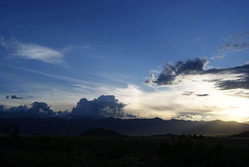
sunset sun mountains weather clouds rockies colorado rays sunrays coloradoreunion
Setting Rays
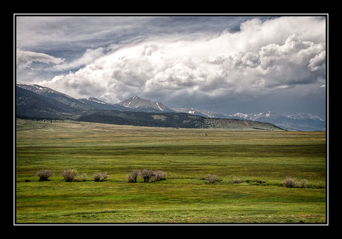
mountains nature landscape colorado hdr 1xp thechallengegame
Sangre de Cristo Mountains
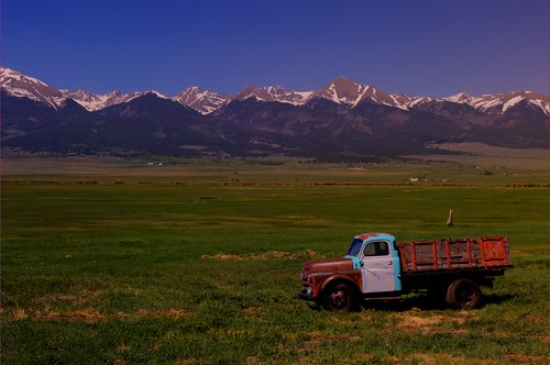
frommobileme
30 Colorado Work Truck 1
Colorado June 2015
Colorado June 2015
camping colorado roadtrip ghosttowns memorialday2009
Nice House
colorado unitedstates westcliffe
Beaver Dam
uploaded:by=flickrmobile flickriosapp:filter=nofilter
Sangre de Cristo Wilderness
colorado hiking 14ers sangredecristomountains humboldtpeak
Picture from Humboldt Peak, Colorado
colorado hiking 14ers sangredecristomountains humboldtpeak
Picture from Humboldt Peak, Colorado
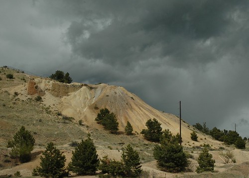
camping colorado mine roadtrip querida ghosttowns memorialday2009
Querida Mines
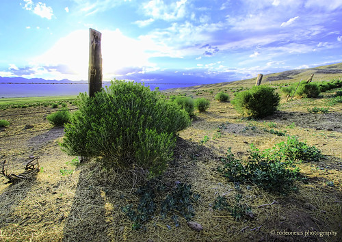
wideangle salida hdr greatsanddunes crestone desertplants westcliffe sangredecristo wetmountainvalley silvercliff humboldtpeak landscapeimages coloradophotography musicpass desertgrass ruggedpeaks shadowsinthedesert desertfence greengrassesincolorado southernmountainrange sanisabelwilderness mountainsandplainsinthewest
Long Shadows
camping colorado roadtrip ghosttowns memorialday2009
Stormy Skies