Elevation of Co Rd, Westcliffe, CO, USA
Location: United States > Colorado > Westcliffe >
Longitude: -105.30578
Latitude: 38.0474821
Elevation: 2685m / 8809feet
Barometric Pressure: 73KPa
Elevation Map:
Satellite Map:
Related Photos:
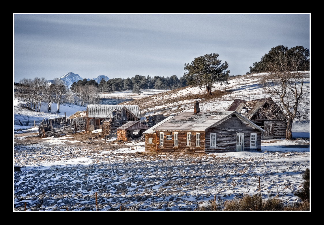
Back in Time

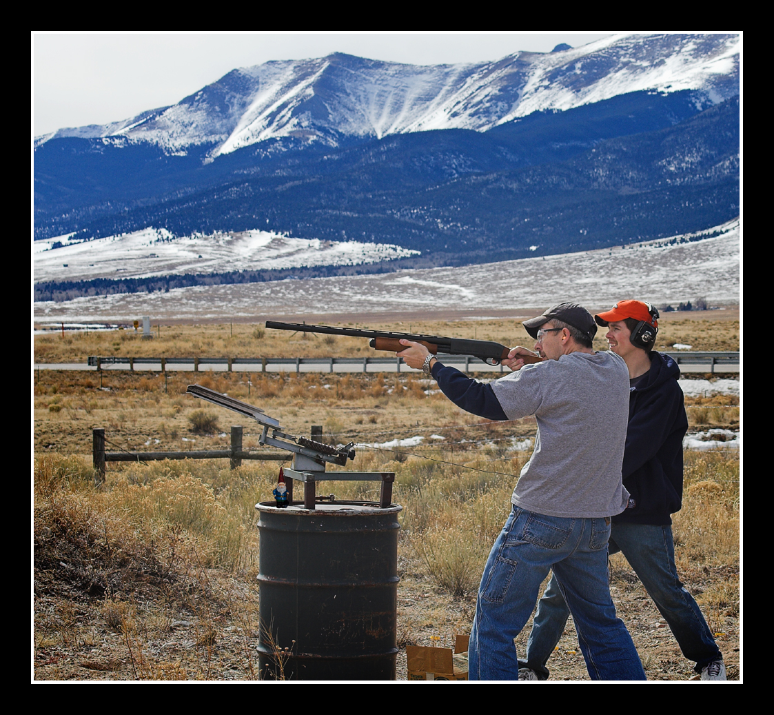
Target Practice

Target Practice

Aerial view from plane
View to the N/NW form the property
Clay Pigeon Killer

Happy Shooter

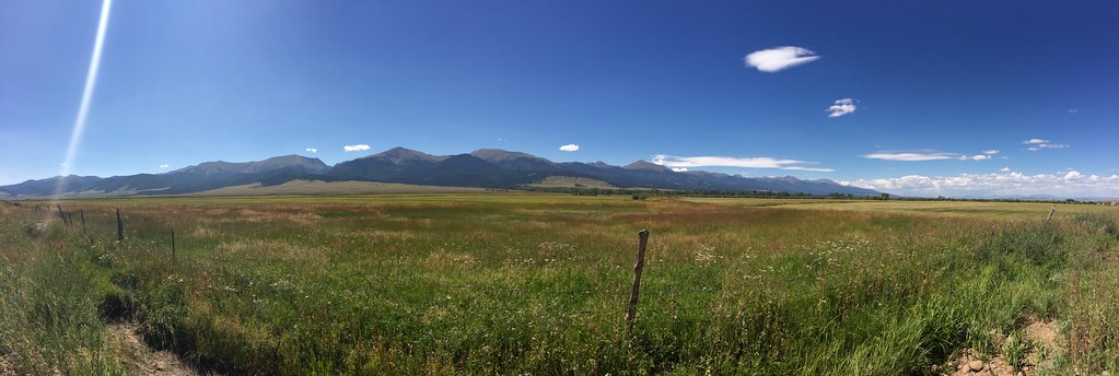
Sangre Panorama
View to the N/NW form the property
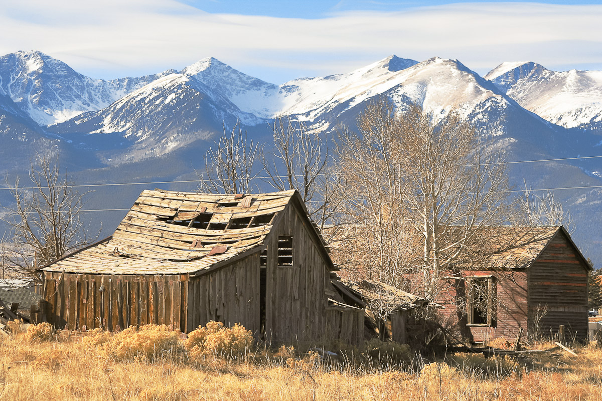
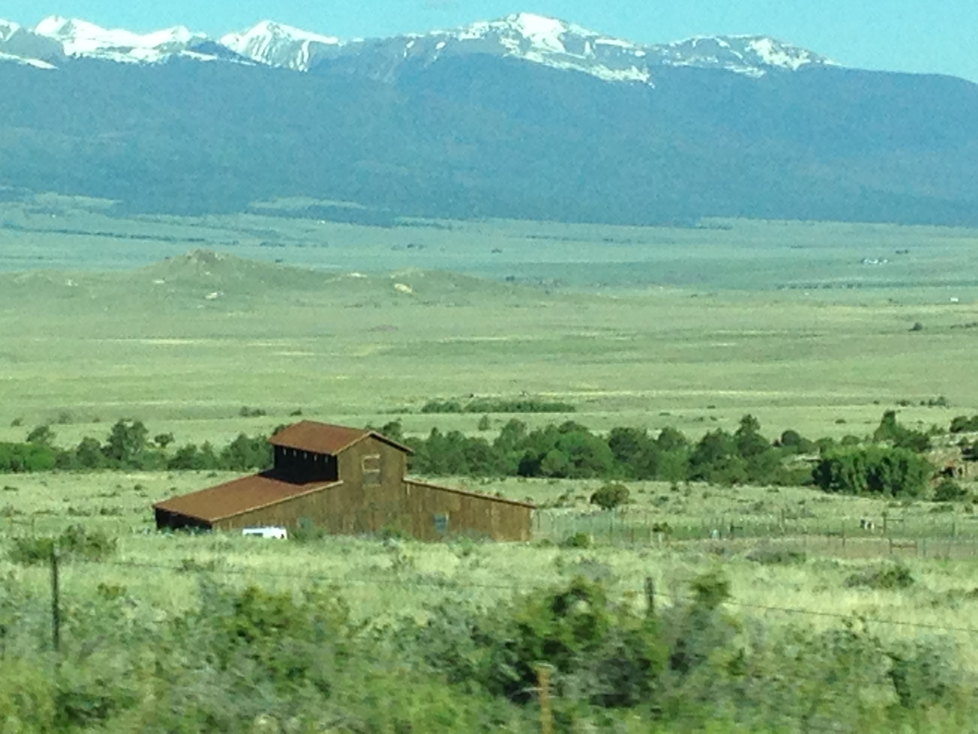
Farm of the Wet Mountain Valley

Cool Your Horses

Dusty Dead End
Silvercliff History

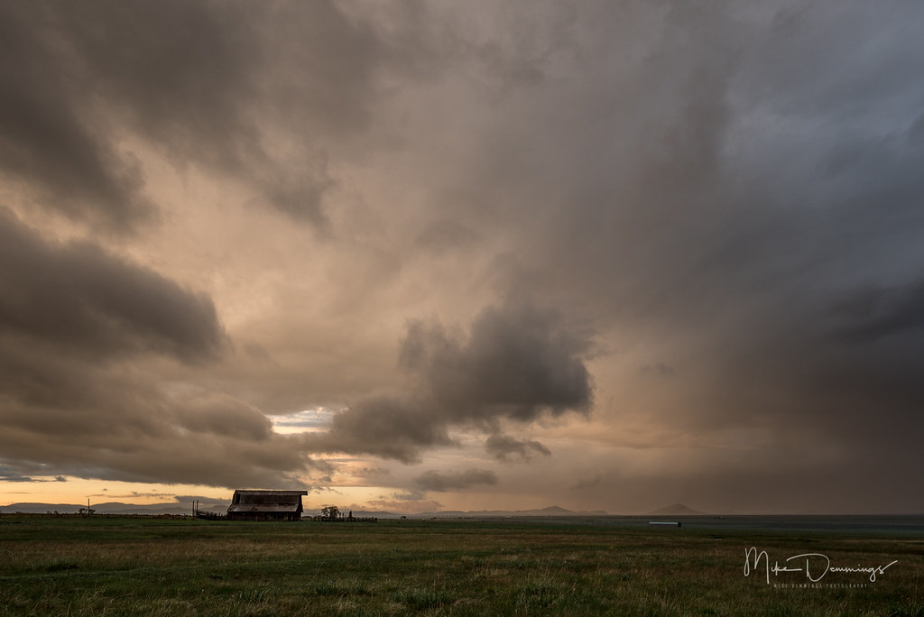
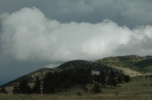
Low Clouds

Little House on the Prarie
Setting Rays
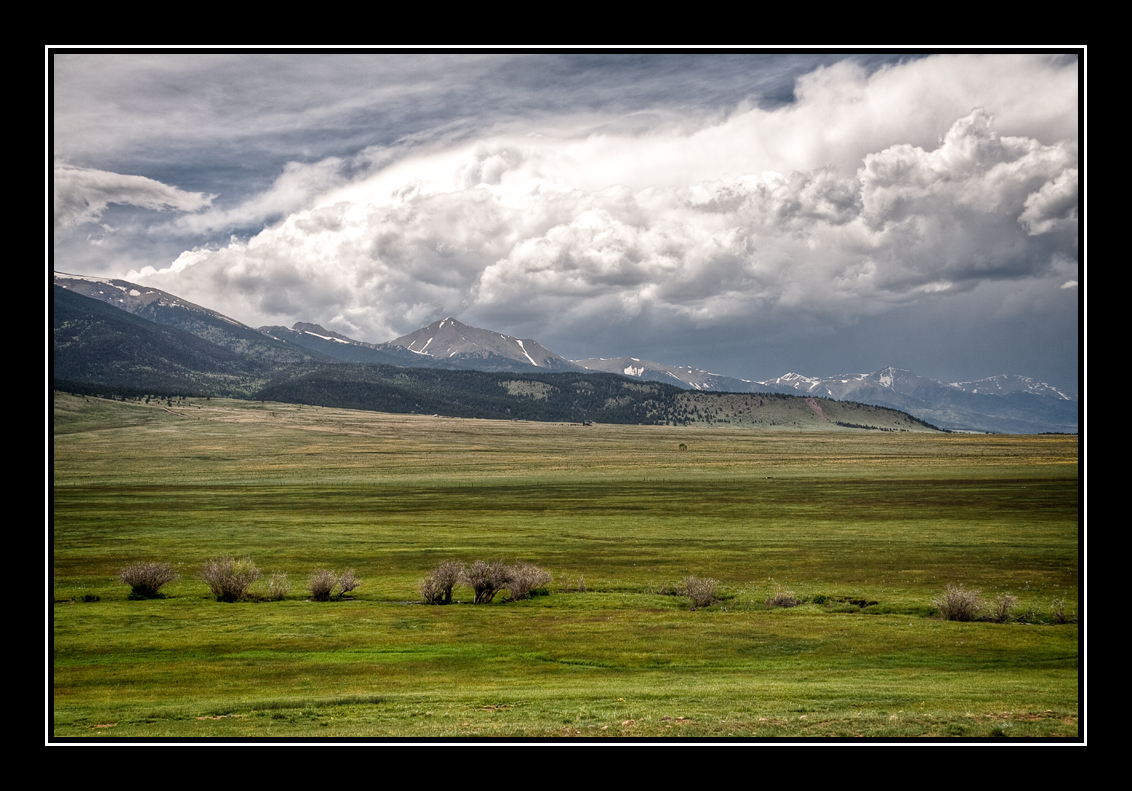
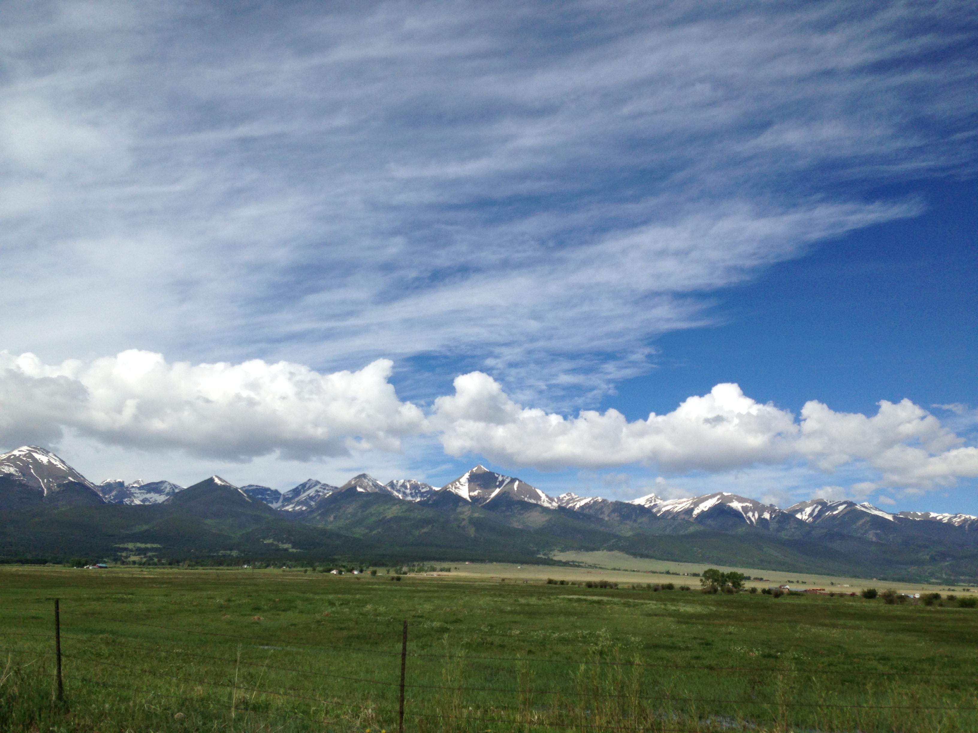
Sangre de Cristo Mountains

30 Colorado Work Truck 1
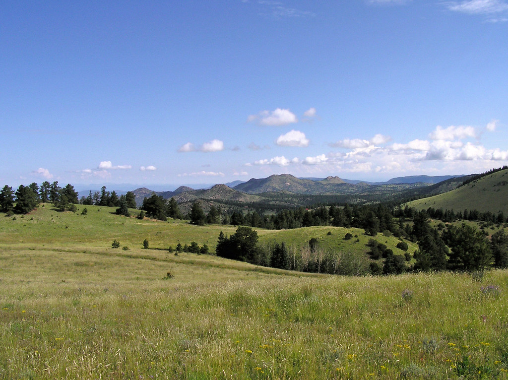
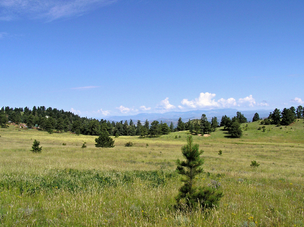
Colorado June 2015
Colorado June 2015
Nice House
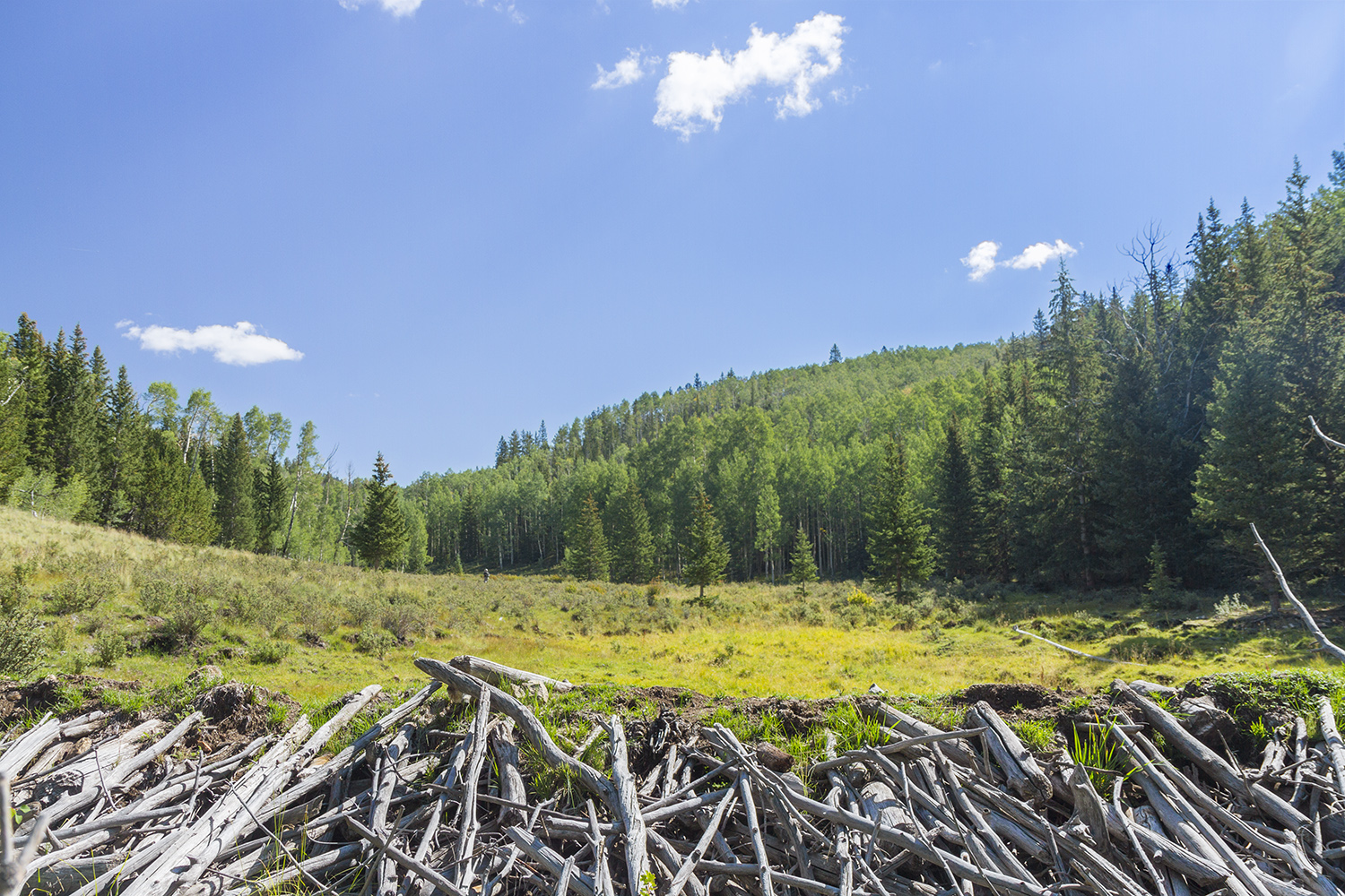
Beaver Dam
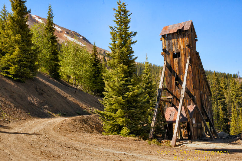
Poor Girl Mine
Picture from Humboldt Peak, Colorado
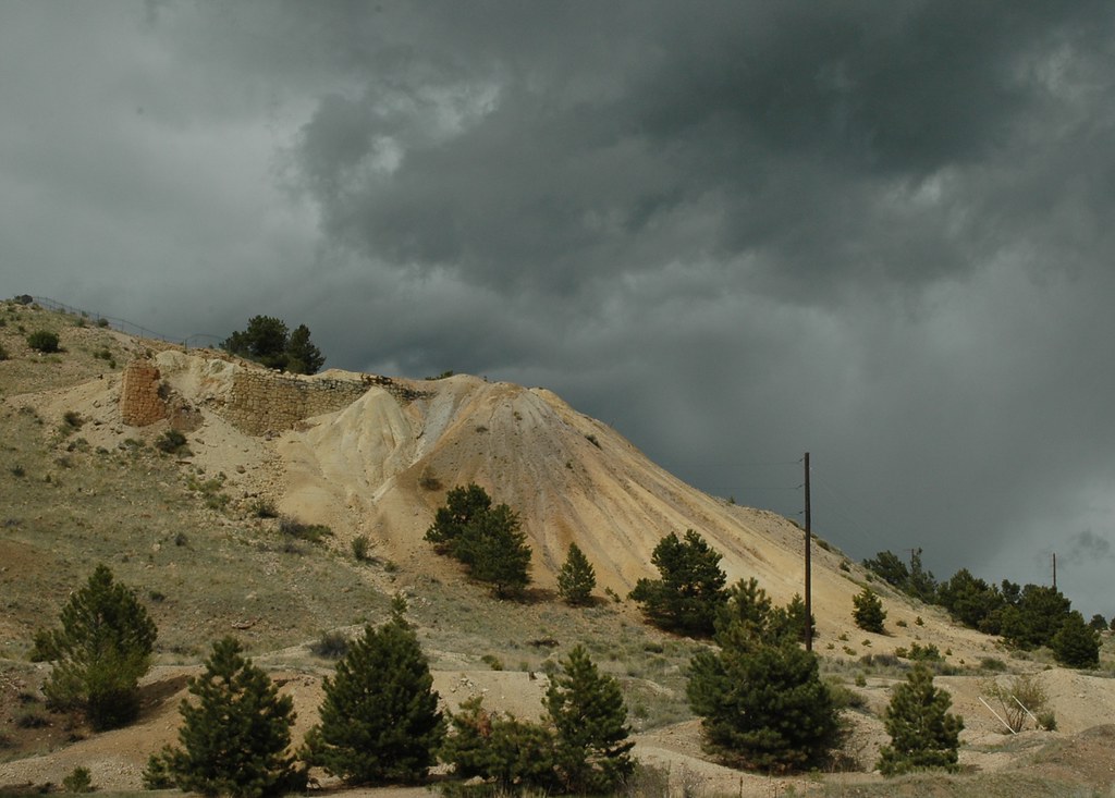
Querida Mines
Long Shadows
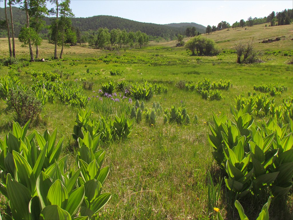
Cornhusk Lilies: San Isabel National Forest, Colorado (CO)
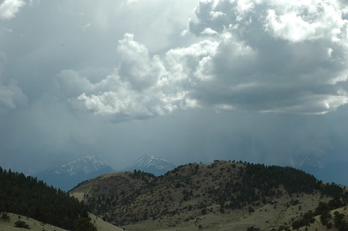
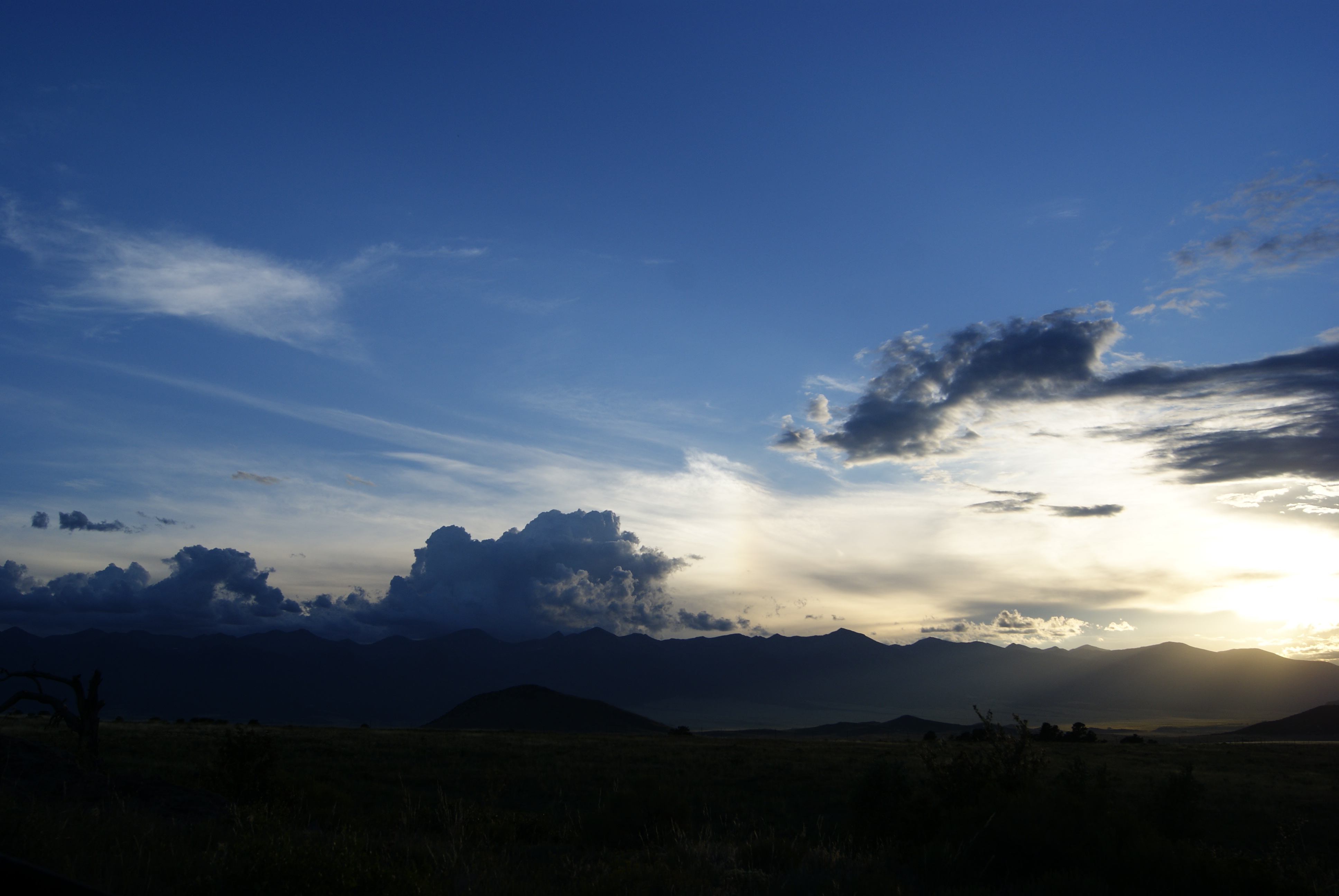
Stormy Skies
Topographic Map of Co Rd, Westcliffe, CO, USA
Find elevation by address:

Places near Co Rd, Westcliffe, CO, USA:
1963 Music Mountain Dr
1504 Black Fawn Ln
Custer County
230 Schulze Ranch Rd
252 Victorian Way
615 Spread Eagle Dr
370 Todd Way
504 Black Fawn Ln
268 Spread Eagle Dr
380 High Spirit Trail
344 Victorian Way
200 Rosita Way
602 Sangre Dr
997 Joy Ln
426 Arapahoe Cir
246 Co Rd 327
685 Deerhaven Dr
133 Pawnee Trail
651 Larkspur Ln
Manden Road
Recent Searches:
- Elevation of Corso Fratelli Cairoli, 35, Macerata MC, Italy
- Elevation of Tallevast Rd, Sarasota, FL, USA
- Elevation of 4th St E, Sonoma, CA, USA
- Elevation of Black Hollow Rd, Pennsdale, PA, USA
- Elevation of Oakland Ave, Williamsport, PA, USA
- Elevation of Pedrógão Grande, Portugal
- Elevation of Klee Dr, Martinsburg, WV, USA
- Elevation of Via Roma, Pieranica CR, Italy
- Elevation of Tavkvetili Mountain, Georgia
- Elevation of Hartfords Bluff Cir, Mt Pleasant, SC, USA