Elevation of Joe Batt's Arm, NL, Canada

Location: Canada > Newfoundland And Labrador > Division No. 8 >

Longitude: -54.173526

Latitude: 49.7266834

Elevation: 13m / 43feet

Barometric Pressure: 101KPa

Elevation Map:

elevation map of Joe Batt's Arm, NL, Canada

Satellite Map:

Satellite map of Joe Batt's Arm, NL, Canada

Related Photos:

fogoisland northatlanticocean outdoors canada oceanview sunset nikond610 newfoundland joebattsarm newfoundlandandlabrador ca
Ocean Sunest via Fogo Island
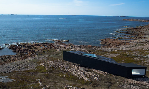
canada newfoundland island kap cod fogo ricohgr kiteaerialphotography fogoisland autokap pierrelesage longstudio kapstock tahitipix deltar11 toddsaundersarchitecture
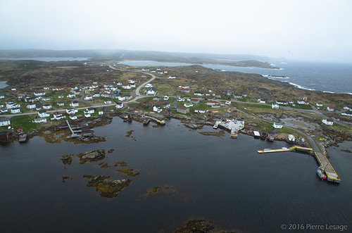
Aerial View of the Long Studio from Shorefast Foundation
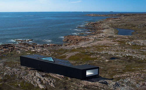
canada newfoundland island kap cod fogo ricohgr kiteaerialphotography fogoisland autokap pierrelesage longstudio kapstock tahitipix deltar11 toddsaundersarchitecture
Aerial View of the Long Studio from Shorefast Foundation
square lofi squareformat iphoneography instagramapp uploaded:by=instagram
At the top is an awesome view of the North Atlantic. The wind was face numbingly brutal, though.
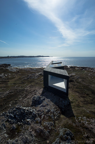
valencia square squareformat iphoneography instagramapp uploaded:by=instagram
View from the back of Long. #ekinfogo
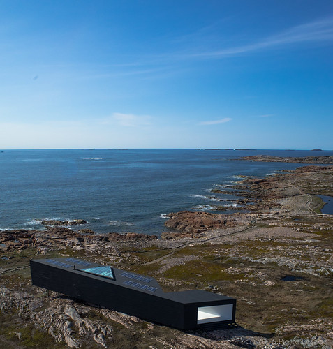
canada newfoundland island kap cod fogo ricohgr kiteaerialphotography fogoisland autokap pierrelesage longstudio kapstock tahitipix deltar11 toddsaundersarchitecture
Aerial View of the Long Studio from Shorefast Foundation
canada newfoundland island kap cod fogo ricohgr kiteaerialphotography fogoisland autokap pierrelesage longstudio kapstock tahitipix deltar11 toddsaundersarchitecture
Aerial View of the Long Studio from Shorefast Foundation
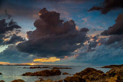
ocean sunset storm newfoundland island evening twilight nikon harbour atlantic wade lightning fogo thunder tamron2875
Gathering Storm Clouds
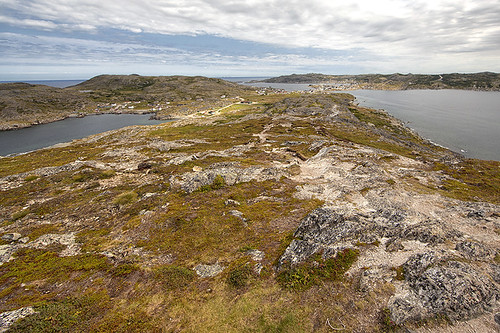
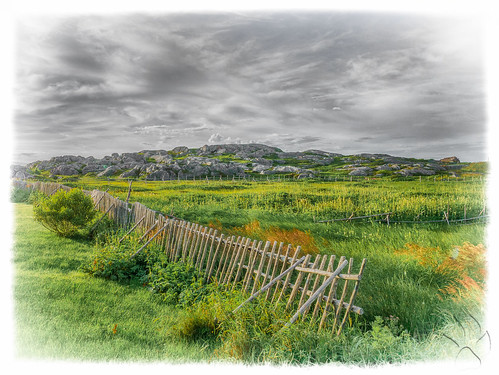
newfoundland landscape island nl fogo fogoisland terreneuve rockylandscape ilefogo
View of Fogo from Brimstone Head
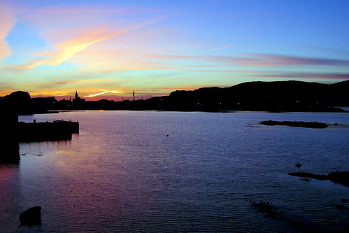
sunset canada newfoundland harbour fogo fogoisland hjalmar1886
Fogo Harbour Sunset
square squareformat amaro iphoneography instagramapp uploaded:by=instagram
Icebergs near sunset. #ekinfogo
canada newfoundland places tilting fogoisland newfoundlandandlabrador
Cod Shack, Tilting, Fogo Island, Newfoundland
ocean winter sea canada ice water newfoundland frozen fogo brimstone fogoisland flatearthsociety brimstonehead
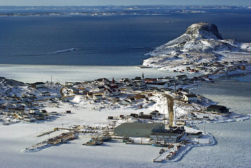
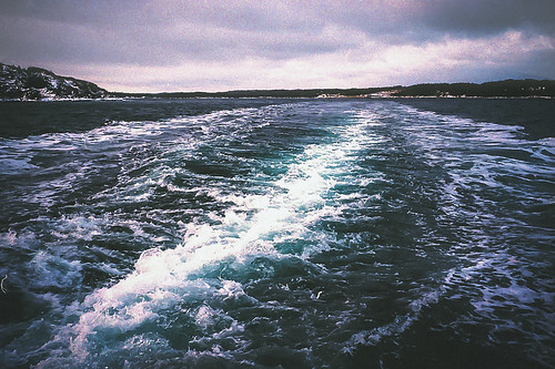
Fogo, Newfoundland
canada newfoundland places tilting fogoisland newfoundlandandlabrador tiltingfogoisland
Away from the fishing, Tilting, Nfld
square squareformat iphoneography instagramapp uploaded:by=instagram
We got here just at sunset. #ekinfogo
square lofi squareformat iphoneography instagramapp uploaded:by=instagram
I was very tempted to hopscotch these floating ice sheets near Shoal Tickle, which is where an old settlement used to exist. #ekinfogo
tilting
Tilting on Fogo Island.
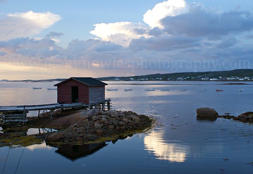
ocean bridge sunset water clouds newfoundland reflections evening stage arr cloudscape allrightsreserved eveninglight atlanticcanada fogoisland newfoundlandandlabrador joebattsarm nottobeusedwithoutmypermission ©2013jeanknowles easternedgeculturaladventures ballastlocker joebattsarmnl
Cloud drama, Joe Batt's Arm
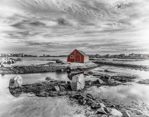
newfoundland places tilting fogoisland
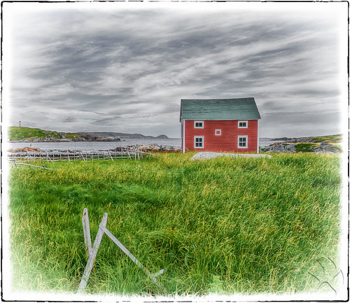
Fishing gear shack, Tilting, Nfld
film 35mm island fishing fogo
Fogo Island, NL
square squareformat mayfair iphoneography instagramapp uploaded:by=instagram
Sweeping the road to town. #ekinfogo
Bridge Studio
newfoundland places tilting fogoisland
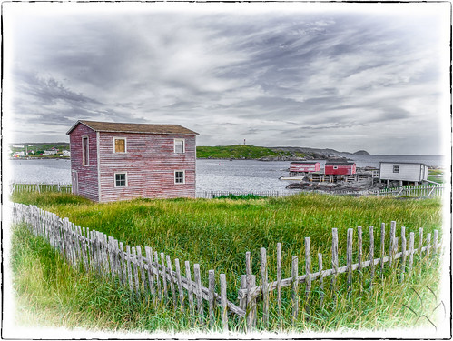
Winter storage shack, Tilting, Nfld
canada newfoundland fogoisland seldomcove
Seldom Cove Newfoundland
Fogo Island Inn
canada newfoundland fogoisland shoalbay
Shoal Bay Newfoundland Canada
canada newfoundland island kap cod fogo kiteaerialphotography autokap pierrelesage kapfoil kapstock gopro3black tahitipix communityoftiltingfog
KAP on Tilting, Fogo Island.
canada newfoundland islandharbour fogoisland
Island Harbour Fogo Island Newfoundland
square squareformat rise iphoneography instagramapp uploaded:by=instagram
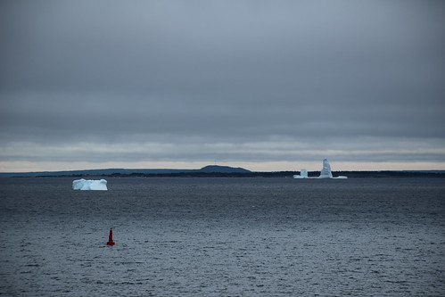
We learned that this ice in the bay comes all the way from northern Greenland and is probably 10,000 years old! #ekinfogo