Elevation of 19 Tickle Point Rd, Change Islands, NL A0G 1R0, Canada
Location: Canada > Newfoundland And Labrador > Division No. 8 >
Longitude: -54.424242
Latitude: 49.6784699
Elevation: 5m / 16feet
Barometric Pressure: 101KPa
Elevation Map:
Satellite Map:
Related Photos:
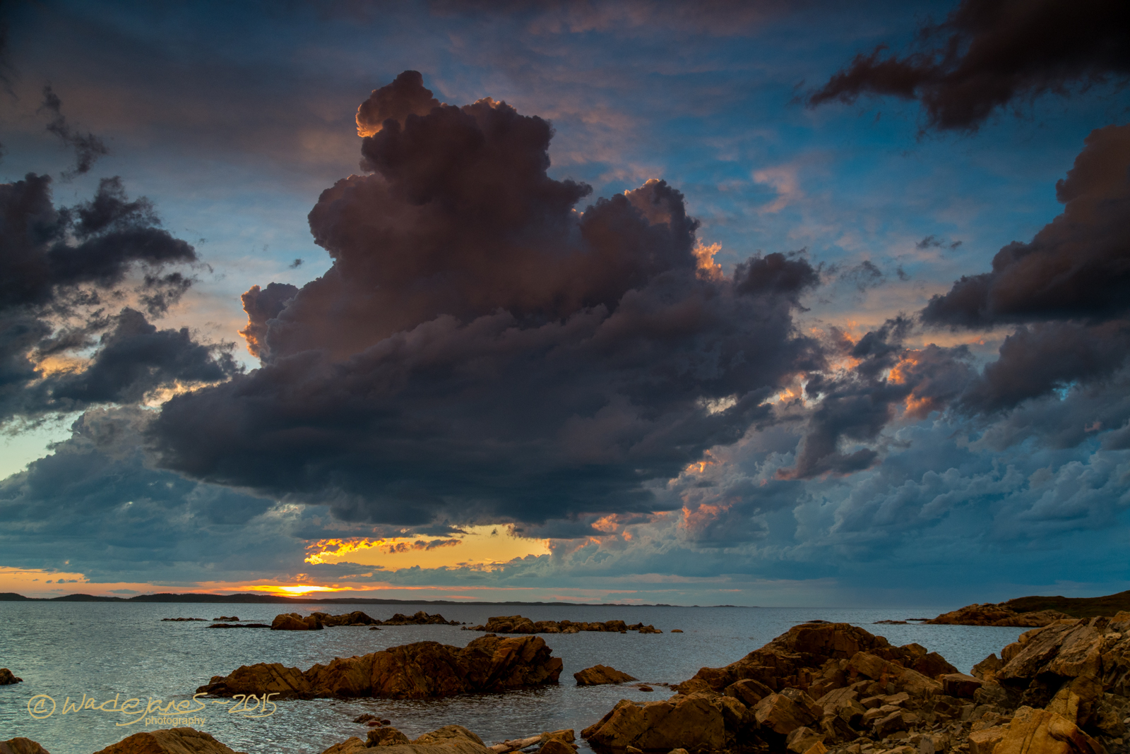
Gathering Storm Clouds

Iceberg (1).
Seven Oakes Inn, Change Islands, Newfoundland

At the top is an awesome view of the North Atlantic. The wind was face numbingly brutal, though.

Pikes Arm, Newfoundland, Canada.

Iceberg (2).
View of Fogo from Brimstone Head
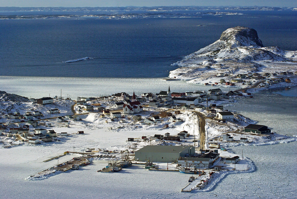
Fogo, Newfoundland

On the rocks
Fogo Harbour Sunset

Getting close.

From The Cliff Edge

Fogo Island, NL
Change Islands Newfoundland

Bridge Studio

Shoal Bay Newfoundland Canada
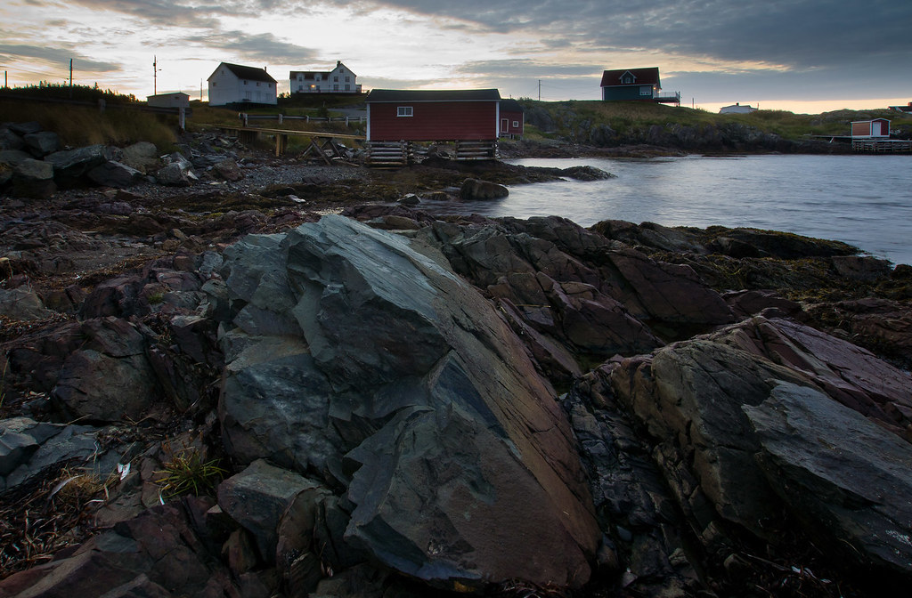
Boat Houses on Fox Head Cove, Change Islands

Island Harbour Fogo Island Newfoundland

Little Cemetary Next to Site of Former Cottage Hospital, Fogo, Newfoundland, Summer 2013.
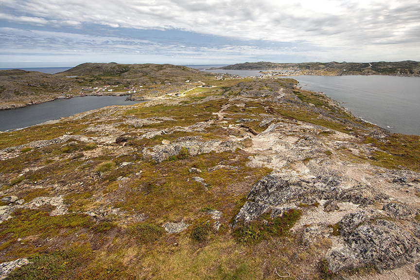
Day 2 @FogoIslandInn included a run through the windswept landscape around Fogo's Lion's Den

Stag Harbour Newfoundland Canada
Topographic Map of 19 Tickle Point Rd, Change Islands, NL A0G 1R0, Canada
Find elevation by address:

Places near 19 Tickle Point Rd, Change Islands, NL A0G 1R0, Canada:
31 Sargents Rd, Fogo, NL A0G 2B0, Canada
36 Sargents Rd, Fogo, NL A0G 2B0, Canada
Baker's Road
Fogo
Pikes Arm
Horwood
Joe Batt's Arm
Seldom
Island Massage Therapy
Fogo Island
Sansome's Place
Hillgrade
Division No. 8, Subd. H
Carmanville
NL-, Horwood, NL A0G 2T0, Canada
54 Main St S, Carmanville, NL A0G 1N0, Canada
2 Bayview St, Hillgrade, NL A0G 2S0, Canada
Twillingate
Ragged Point Road
Tilting
Recent Searches:
- Elevation of Corso Fratelli Cairoli, 35, Macerata MC, Italy
- Elevation of Tallevast Rd, Sarasota, FL, USA
- Elevation of 4th St E, Sonoma, CA, USA
- Elevation of Black Hollow Rd, Pennsdale, PA, USA
- Elevation of Oakland Ave, Williamsport, PA, USA
- Elevation of Pedrógão Grande, Portugal
- Elevation of Klee Dr, Martinsburg, WV, USA
- Elevation of Via Roma, Pieranica CR, Italy
- Elevation of Tavkvetili Mountain, Georgia
- Elevation of Hartfords Bluff Cir, Mt Pleasant, SC, USA