Elevation of 36 Sargents Rd, Fogo, NL A0G 2B0, Canada
Location: Canada > Newfoundland And Labrador > Division No. 8 > Fogo >
Longitude: -54.295816
Latitude: 49.7172878
Elevation: 12m / 39feet
Barometric Pressure: 101KPa
Elevation Map:
Satellite Map:
Related Photos:
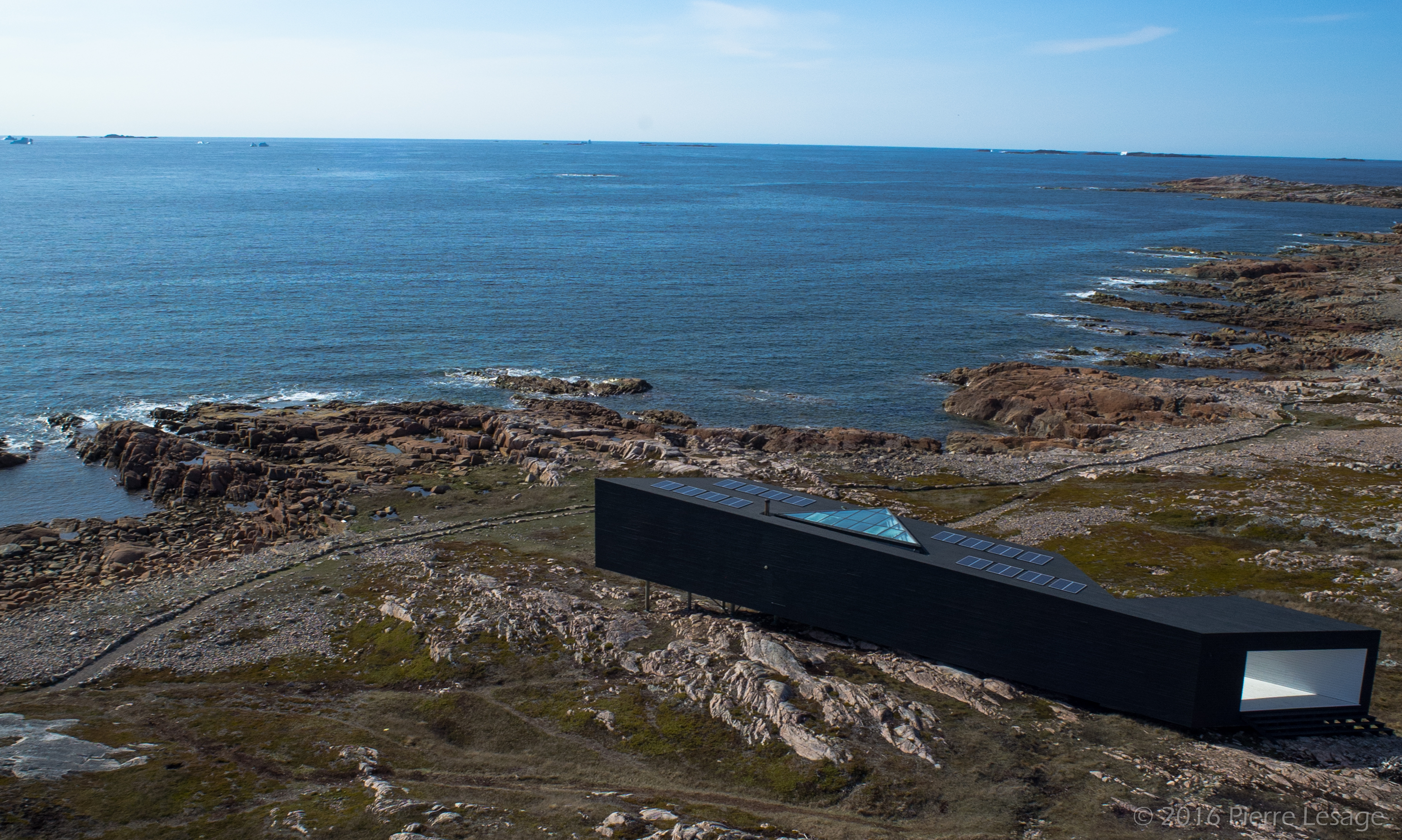
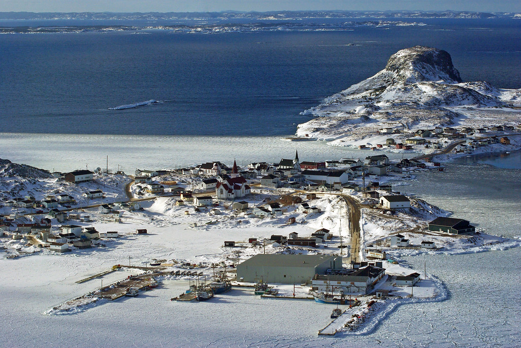
Aerial View of the Long Studio from Shorefast Foundation

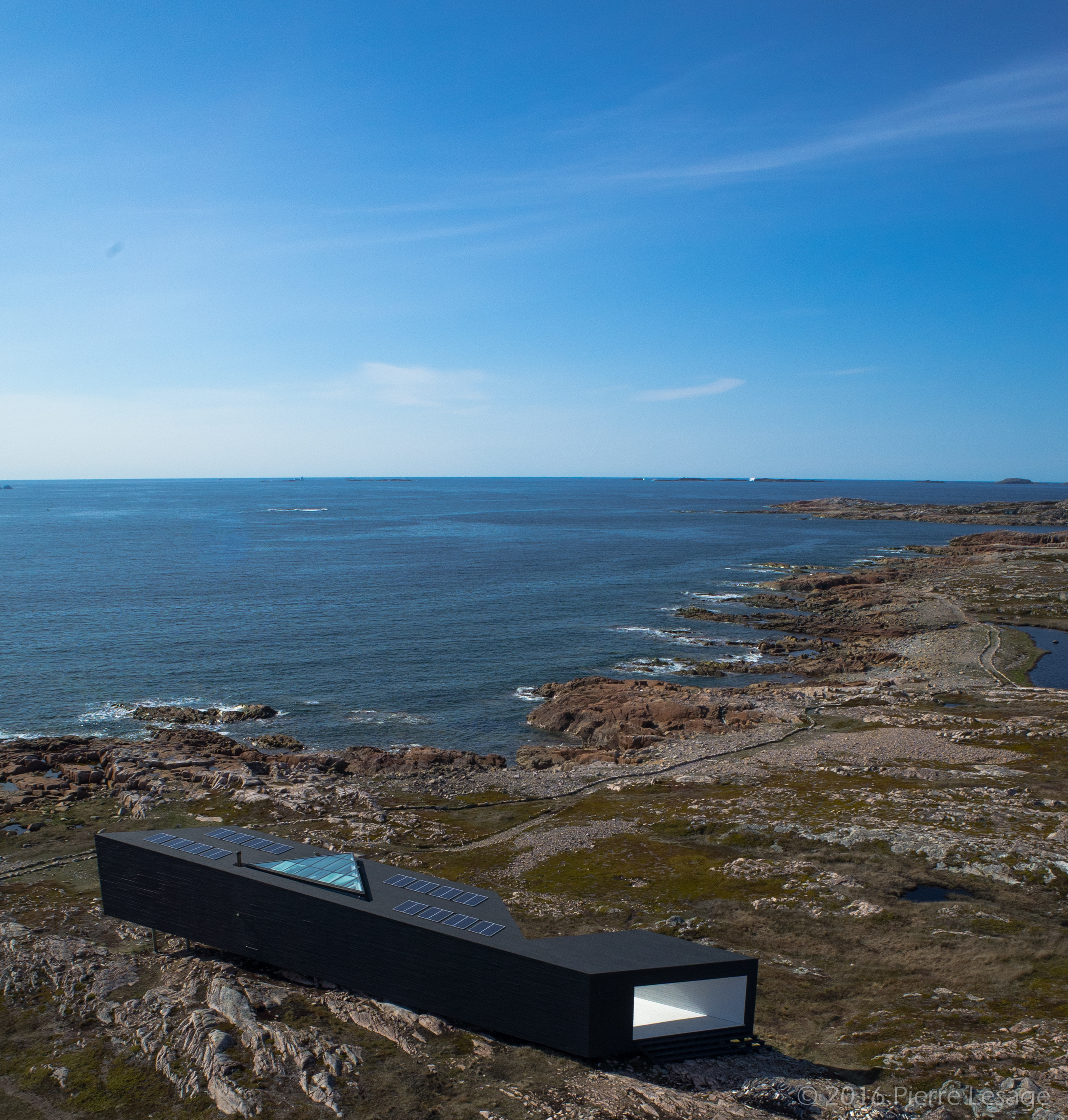
Aerial View of the Long Studio from Shorefast Foundation
Aerial View of the Long Studio from Shorefast Foundation

Aerial View of the Long Studio from Shorefast Foundation
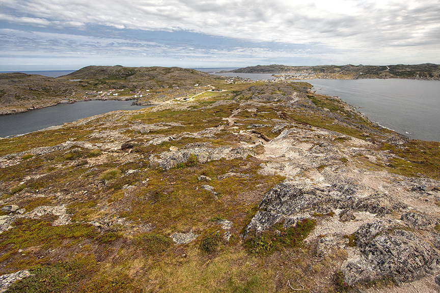
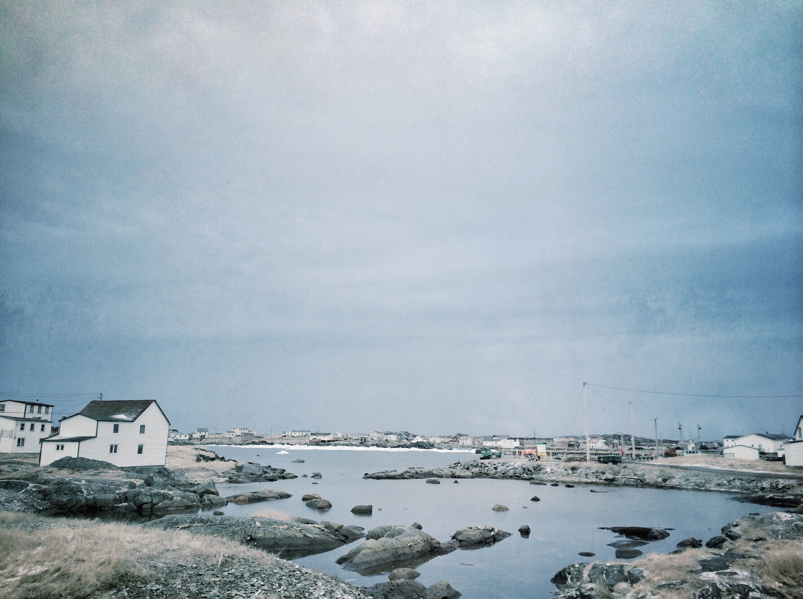
View of Fogo from Brimstone Head
Seven Oakes Inn, Change Islands, Newfoundland

At the top is an awesome view of the North Atlantic. The wind was face numbingly brutal, though.
Gathering Storm Clouds

View from the back of Long. #ekinfogo
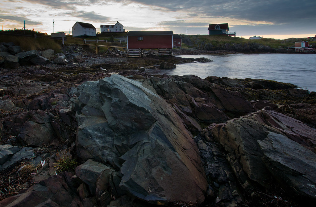
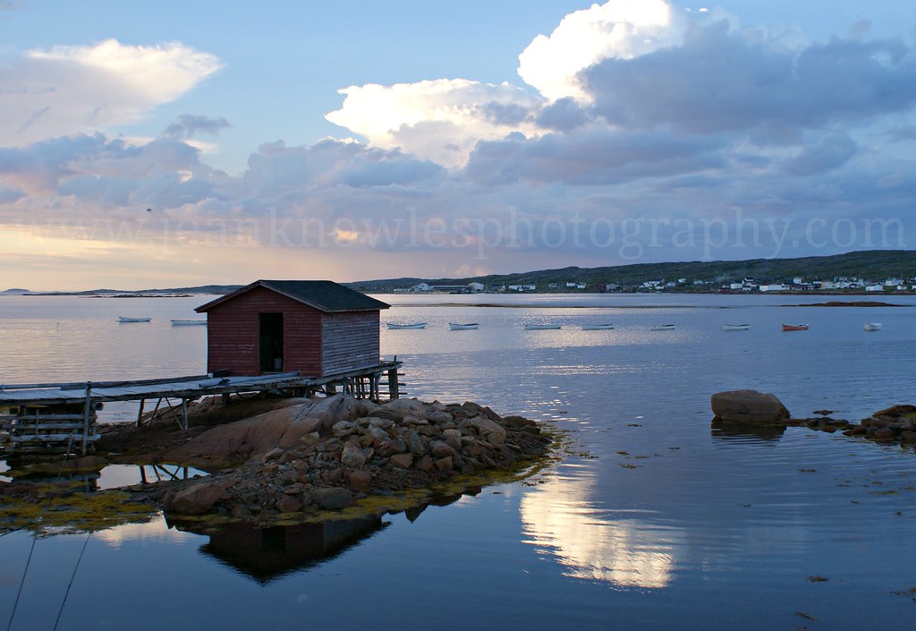
Fogo Harbour Sunset
Kite Aerial Photos of Fogo in the fog

Kite Aerial Photography of Joe Batt's Arm community on Fogo Island
Kite Aerial Photos of Fogo in the fog
Fogo, Newfoundland

I was very tempted to hopscotch these floating ice sheets near Shoal Tickle, which is where an old settlement used to exist. #ekinfogo
Tilting on Fogo Island.
Cloud drama, Joe Batt's Arm

Fogo Island, NL
Change Islands Newfoundland

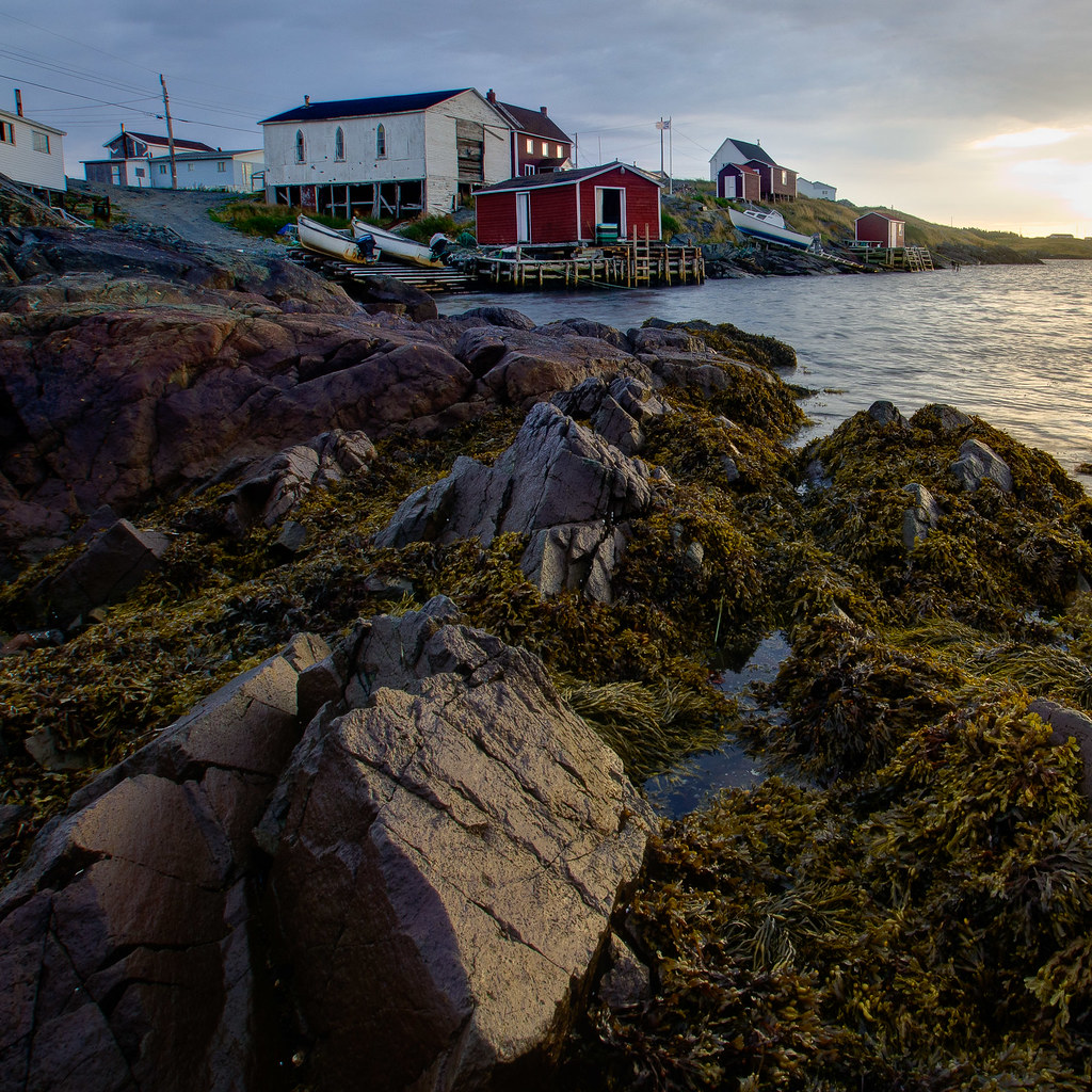
On the rocks

Sweeping the road to town. #ekinfogo

Bridge Studio

Fogo Island Inn

Shoal Bay Newfoundland Canada
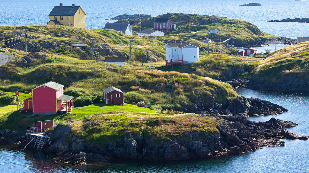
Boat Houses on Fox Head Cove, Change Islands

Island Harbour Fogo Island Newfoundland
Topographic Map of 36 Sargents Rd, Fogo, NL A0G 2B0, Canada
Find elevation by address:

Places near 36 Sargents Rd, Fogo, NL A0G 2B0, Canada:
31 Sargents Rd, Fogo, NL A0G 2B0, Canada
Baker's Road
Fogo
Joe Batt's Arm
19 Tickle Point Rd, Change Islands, NL A0G 1R0, Canada
Island Massage Therapy
Seldom
Fogo Island
Tilting
Pikes Arm
Carmanville
54 Main St S, Carmanville, NL A0G 1N0, Canada
Horwood
Division No. 8
NL-, Horwood, NL A0G 2T0, Canada
Musgrave Harbour
Sansome's Place
Hillgrade
Division No. 8, Subd. H
Main Rd, Musgrave Harbour, NL A0G 3J0, Canada
Recent Searches:
- Elevation of Corso Fratelli Cairoli, 35, Macerata MC, Italy
- Elevation of Tallevast Rd, Sarasota, FL, USA
- Elevation of 4th St E, Sonoma, CA, USA
- Elevation of Black Hollow Rd, Pennsdale, PA, USA
- Elevation of Oakland Ave, Williamsport, PA, USA
- Elevation of Pedrógão Grande, Portugal
- Elevation of Klee Dr, Martinsburg, WV, USA
- Elevation of Via Roma, Pieranica CR, Italy
- Elevation of Tavkvetili Mountain, Georgia
- Elevation of Hartfords Bluff Cir, Mt Pleasant, SC, USA