Elevation of Division No. 8, Subd. L, NL A0G, Canada
Location: Canada > Newfoundland And Labrador > Division No. 8 >
Longitude: -54.358378
Latitude: 49.257157
Elevation: 62m / 203feet
Barometric Pressure: 101KPa
Elevation Map:
Satellite Map:
Related Photos:
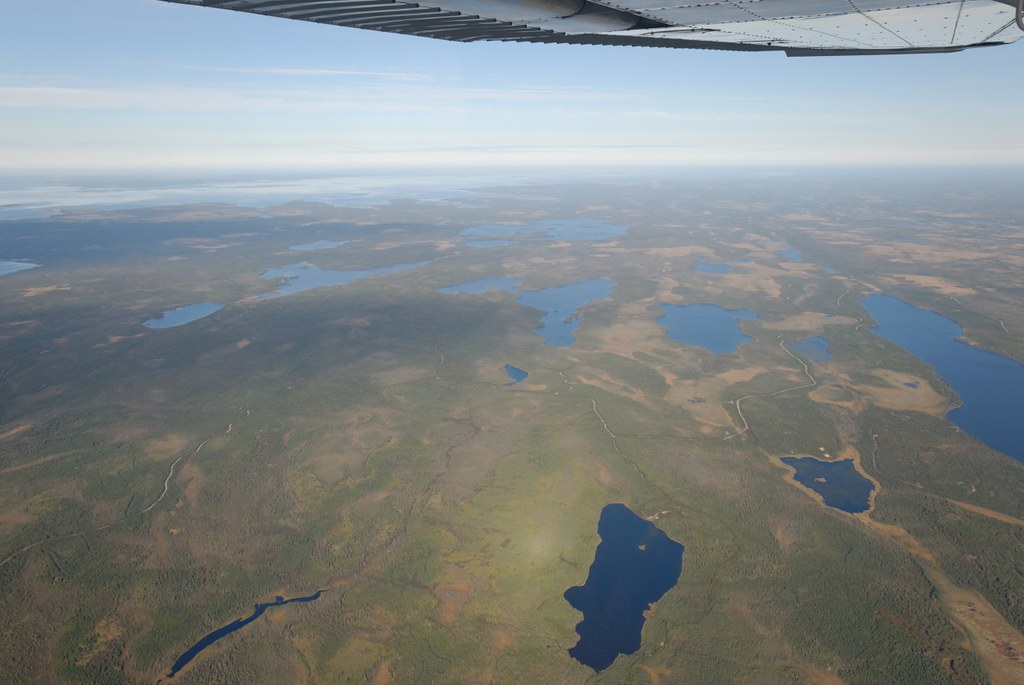
Terre Neuve
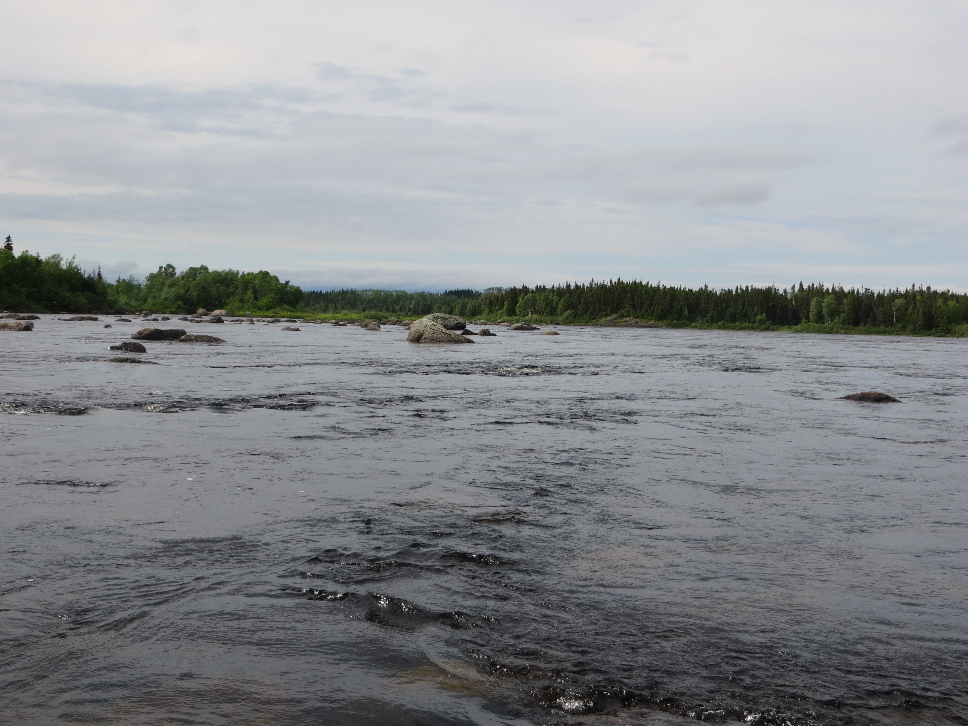
IMG_0320

Boarded Up
IMG_0343-001
Topographic Map of Division No. 8, Subd. L, NL A0G, Canada
Find elevation by address:

Places in Division No. 8, Subd. L, NL A0G, Canada:
Places near Division No. 8, Subd. L, NL A0G, Canada:
54 NL-, Gander Bay, NL A0G 2G0, Canada
54 Main St S, Carmanville, NL A0G 1N0, Canada
Carmanville
NL-, Horwood, NL A0G 2T0, Canada
Horwood
Seldom
19 Tickle Point Rd, Change Islands, NL A0G 1R0, Canada
Musgrave Harbour
Main Rd, Musgrave Harbour, NL A0G 3J0, Canada
Pikes Arm
31 Sargents Rd, Fogo, NL A0G 2B0, Canada
Fogo
Baker's Road
36 Sargents Rd, Fogo, NL A0G 2B0, Canada
Fogo Island
Hillgrade
Sansome's Place
Division No. 8, Subd. H
Summerford
Island Dr, Summerford, NL A0G 4E0, Canada
Recent Searches:
- Elevation of Corso Fratelli Cairoli, 35, Macerata MC, Italy
- Elevation of Tallevast Rd, Sarasota, FL, USA
- Elevation of 4th St E, Sonoma, CA, USA
- Elevation of Black Hollow Rd, Pennsdale, PA, USA
- Elevation of Oakland Ave, Williamsport, PA, USA
- Elevation of Pedrógão Grande, Portugal
- Elevation of Klee Dr, Martinsburg, WV, USA
- Elevation of Via Roma, Pieranica CR, Italy
- Elevation of Tavkvetili Mountain, Georgia
- Elevation of Hartfords Bluff Cir, Mt Pleasant, SC, USA