Elevation of Jericho Station, Jericho
Longitude: 35.4785684
Latitude: 31.8607959
Elevation: -278m / -912feet
Barometric Pressure: 105KPa
Elevation Map:
Satellite Map:
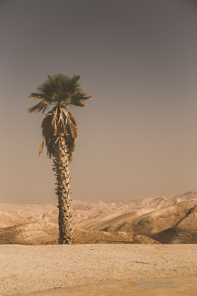
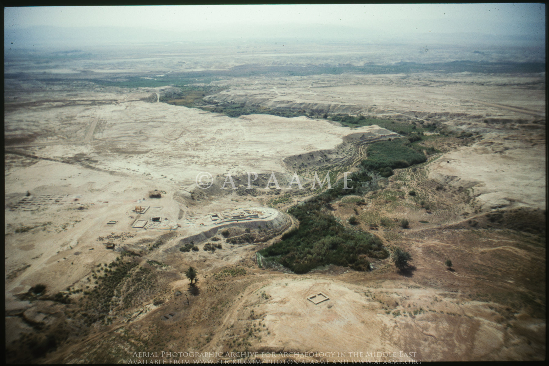
Related Photos:
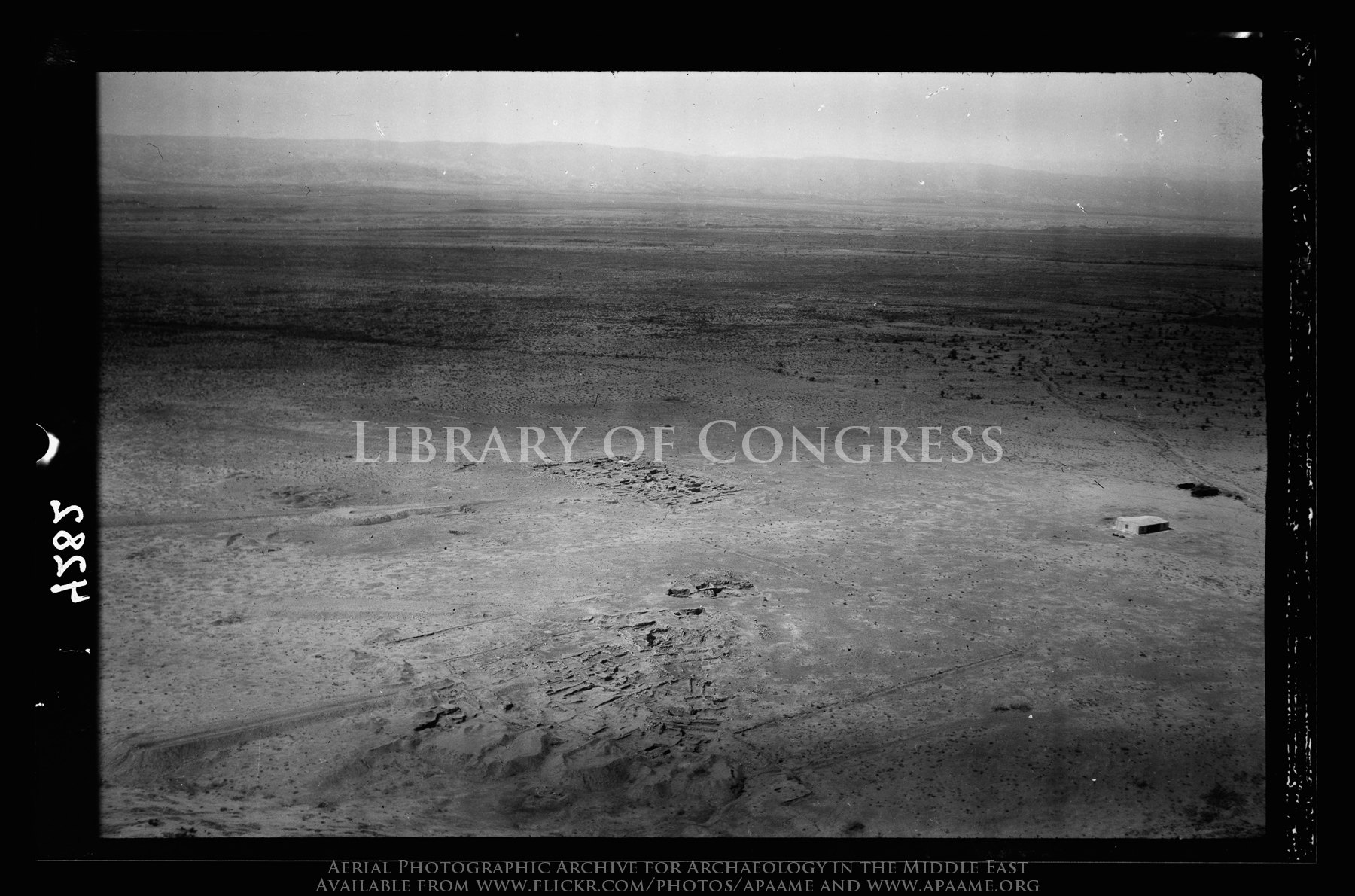
Tell Ghassul. Identified as site of Sodom and Gomorrah. E. of Jordan, N. of Dead Sea (Teleilat el-Ghassul)
Ghor er Rama
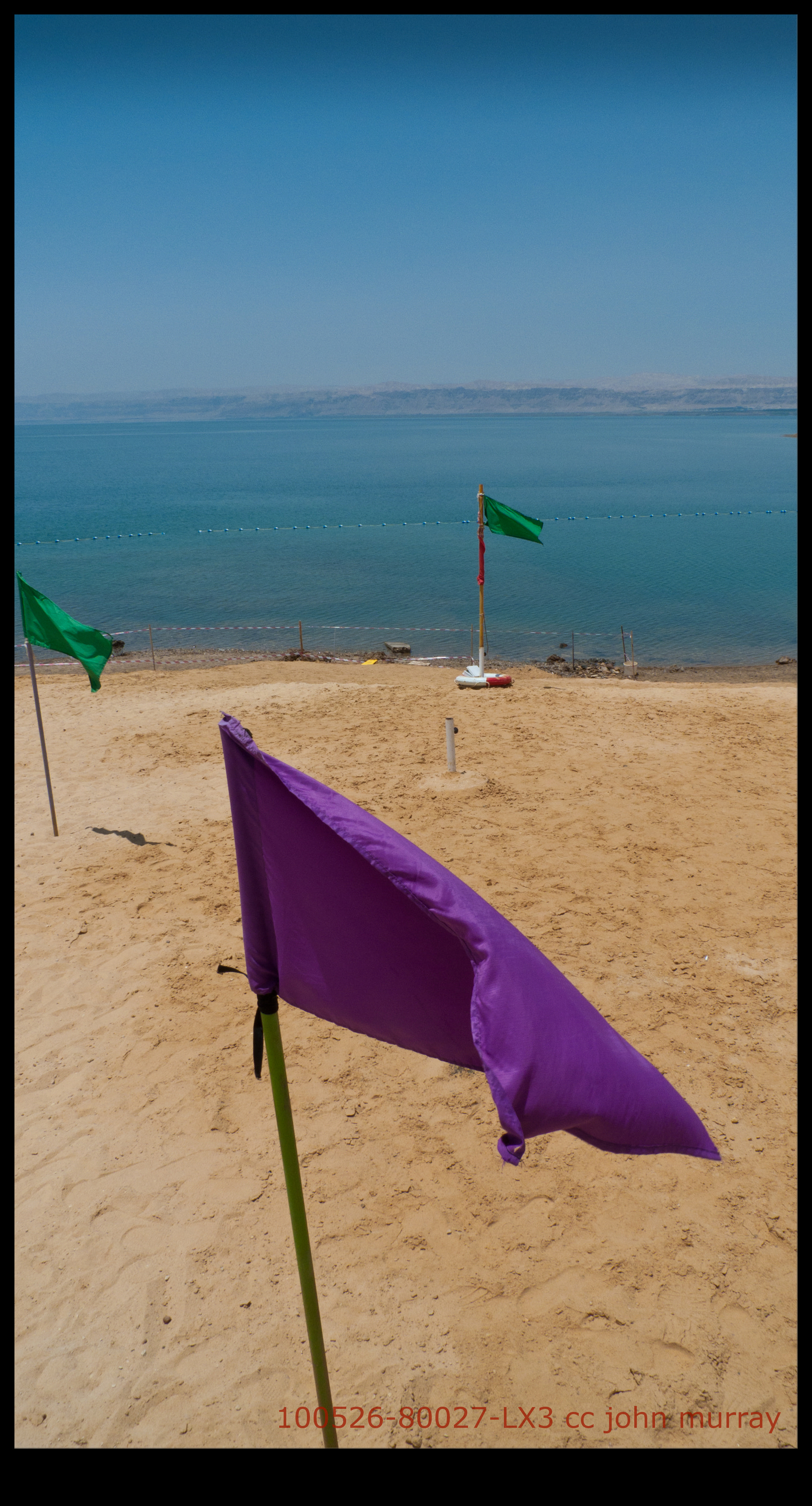
100526-80027-LX3
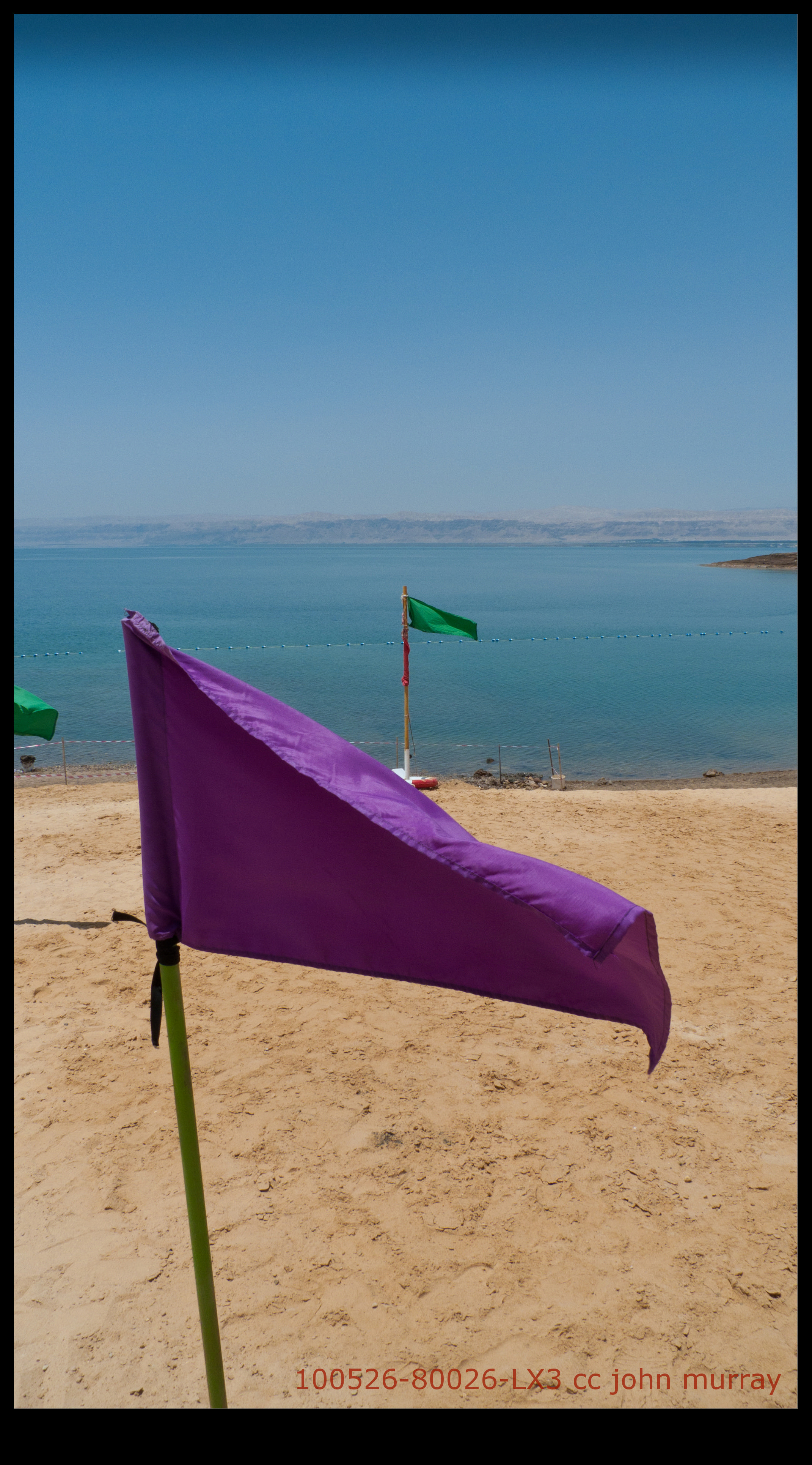
100526-80026-LX3
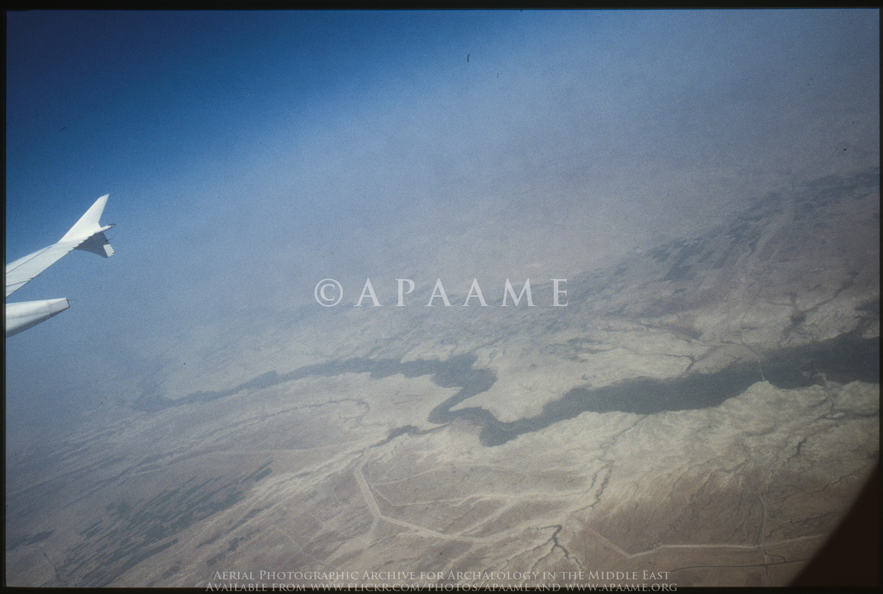
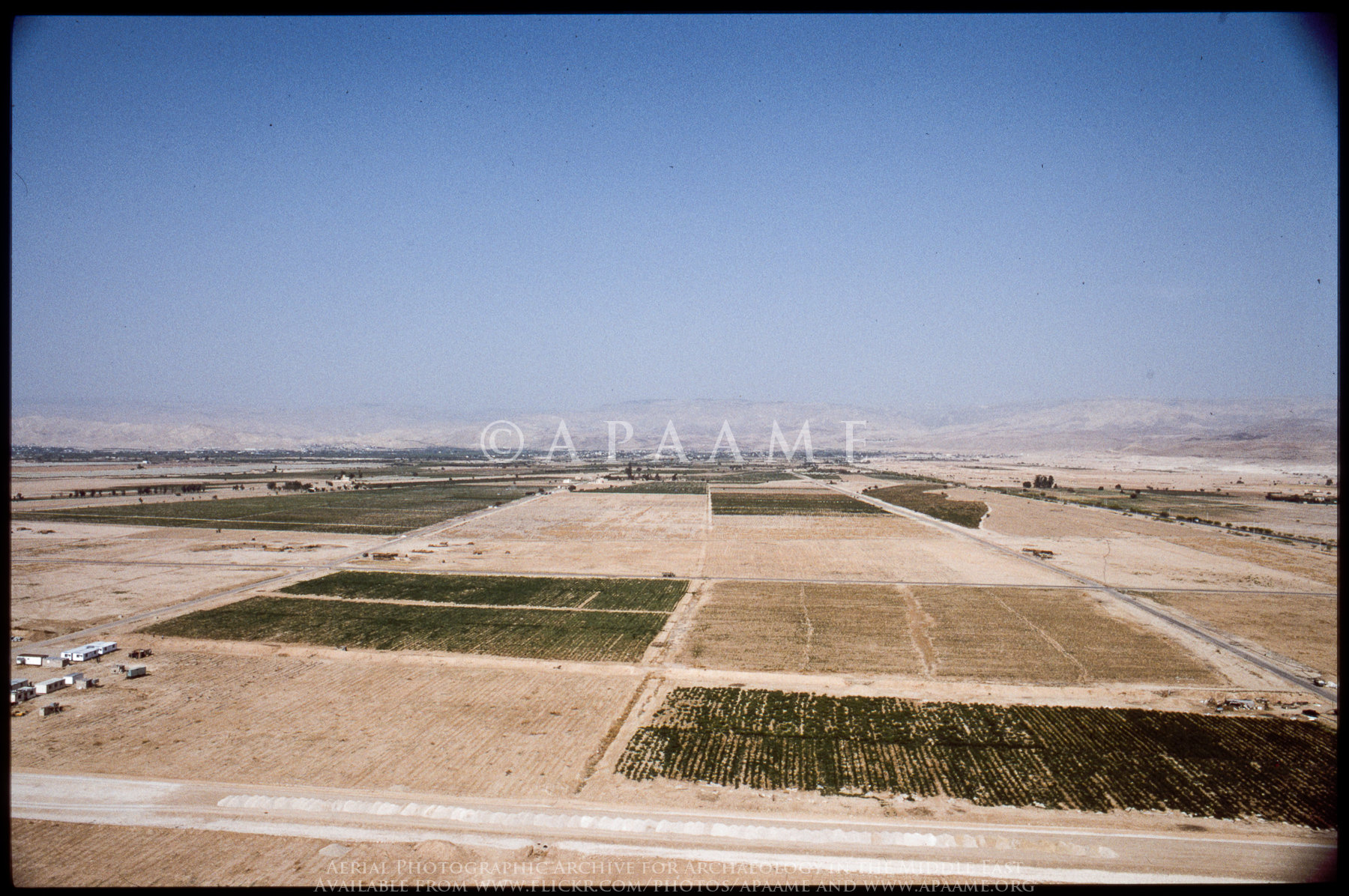
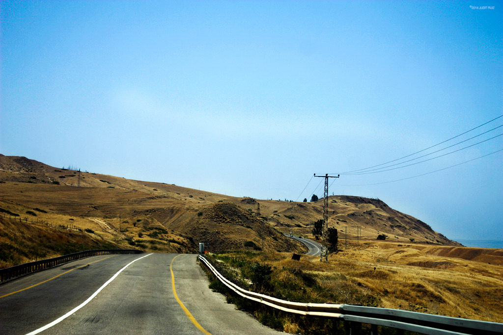
Jordan River Valley
100526-80025-LX3
Welcome to the Negev
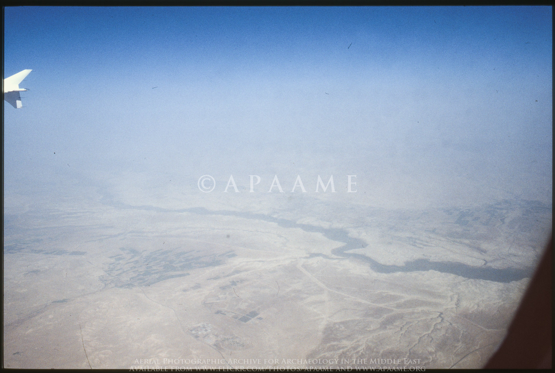
Jordan River Valley
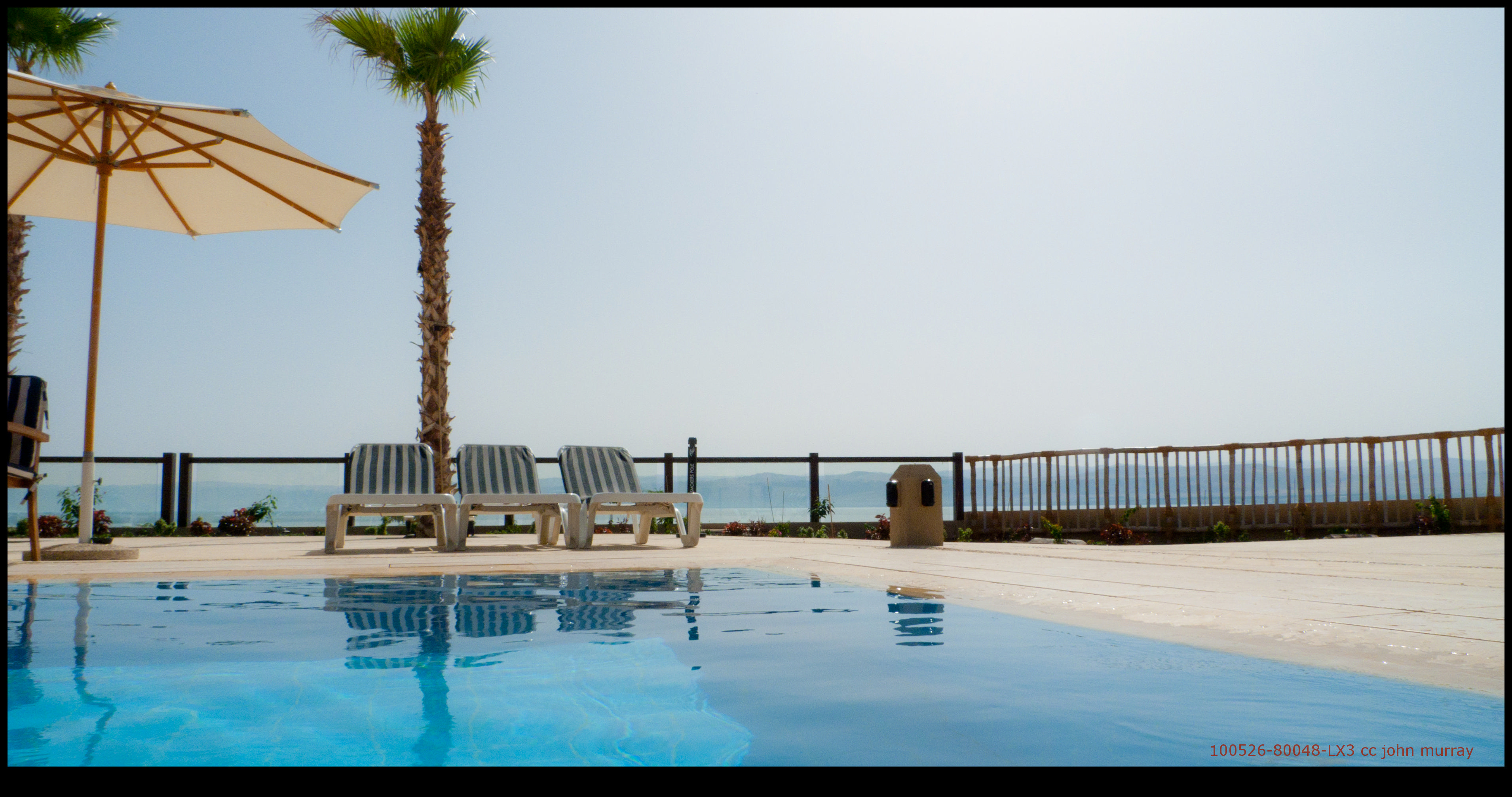
100526-80048-LX3
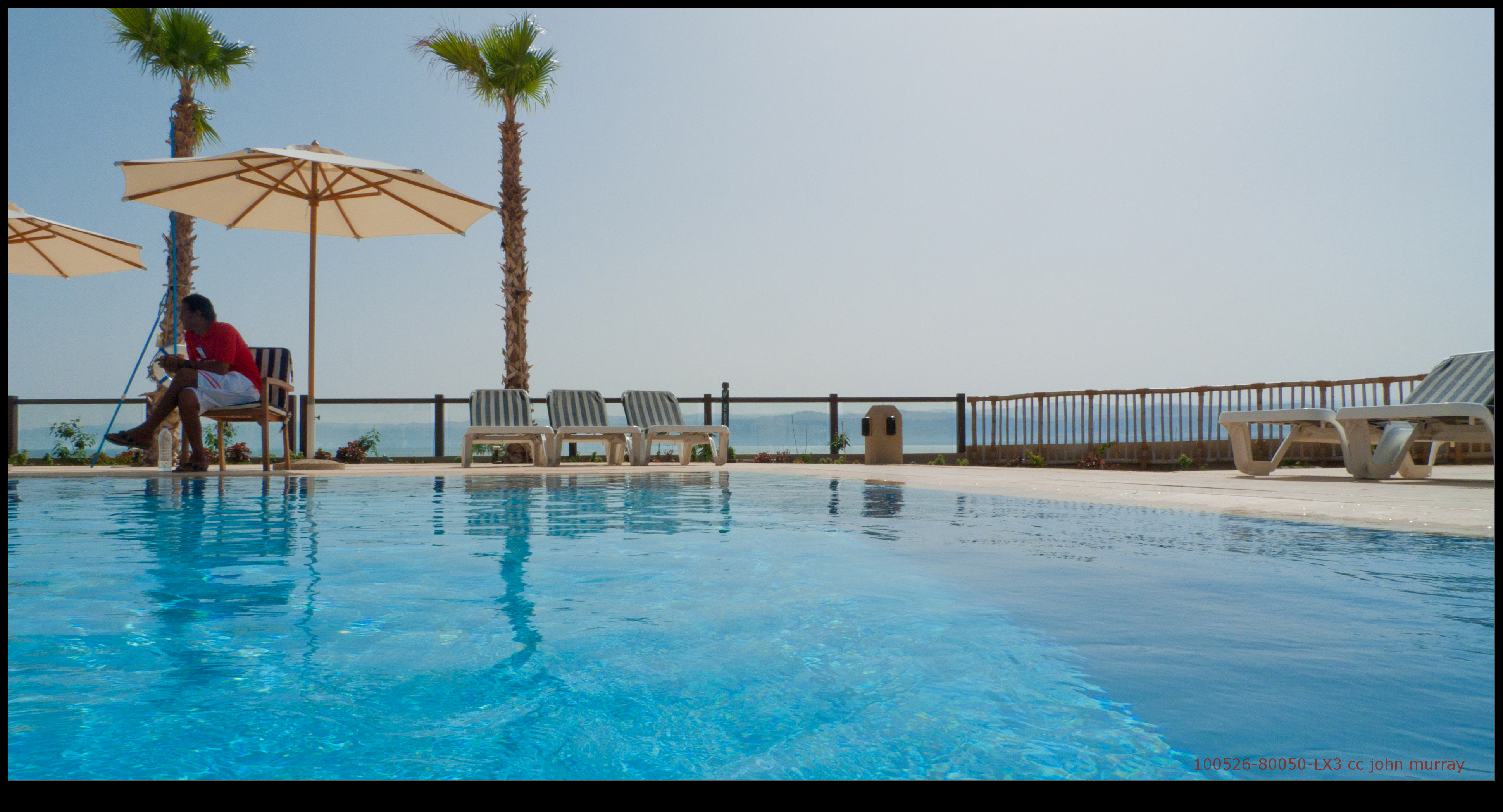
100526-80050-LX3

100526-80035-LX3

100526-80046-LX3
Jordan entering the Dead Sea. Looking S. showing mts. of Moab in distance

100526-80045-LX3

100526-80023-LX3
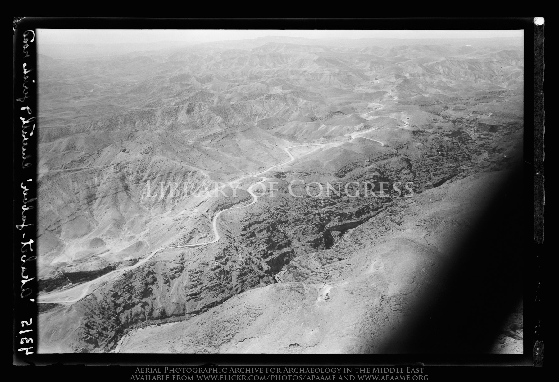
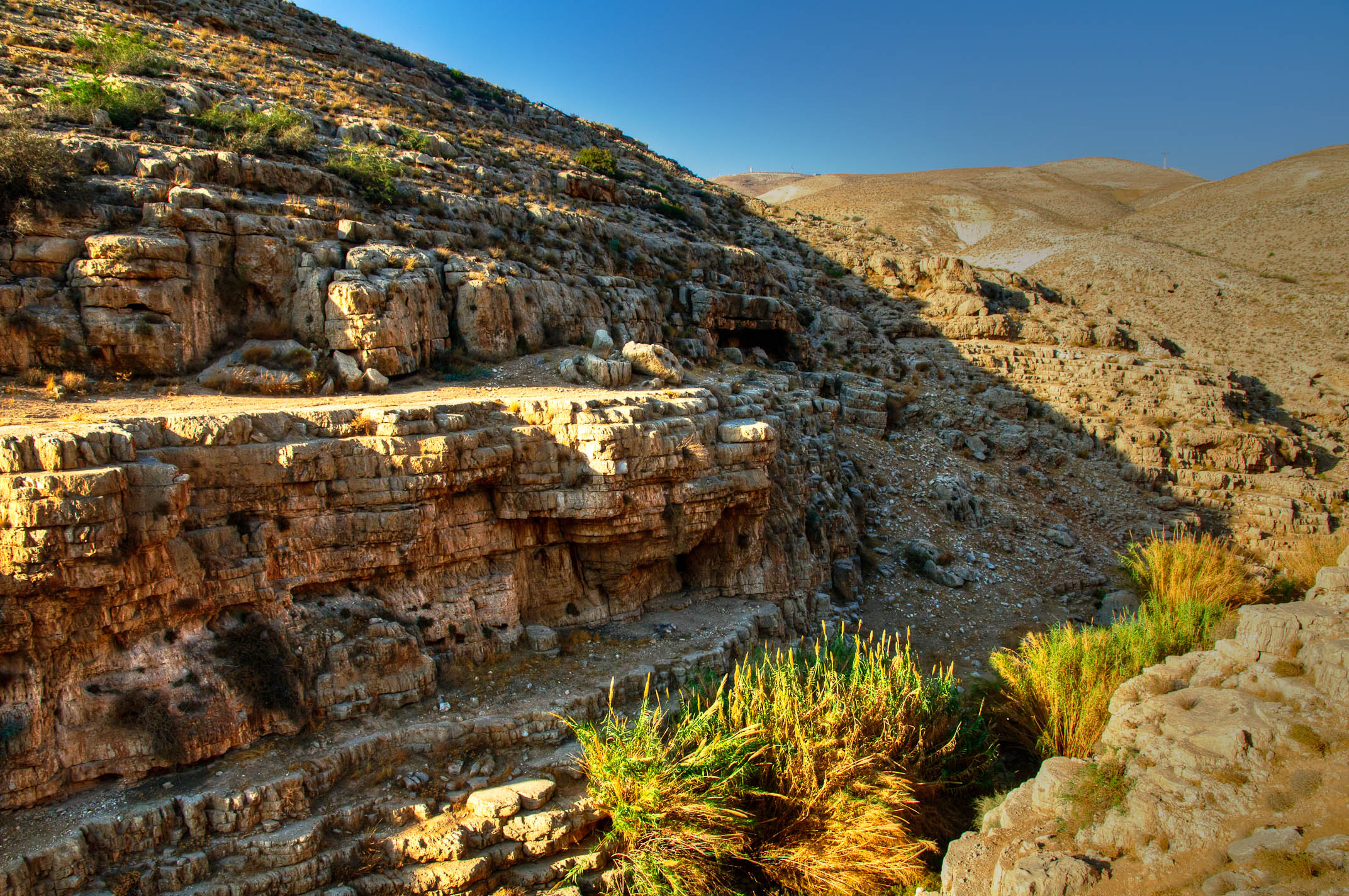
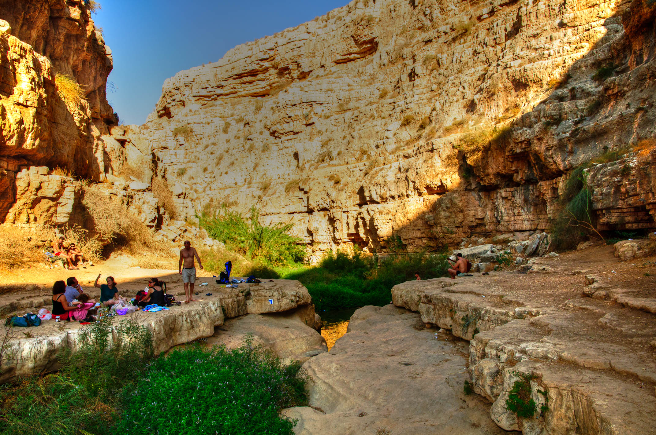
Jericho Road. The steep ascent from the plain. Seen across the Cherith gorge
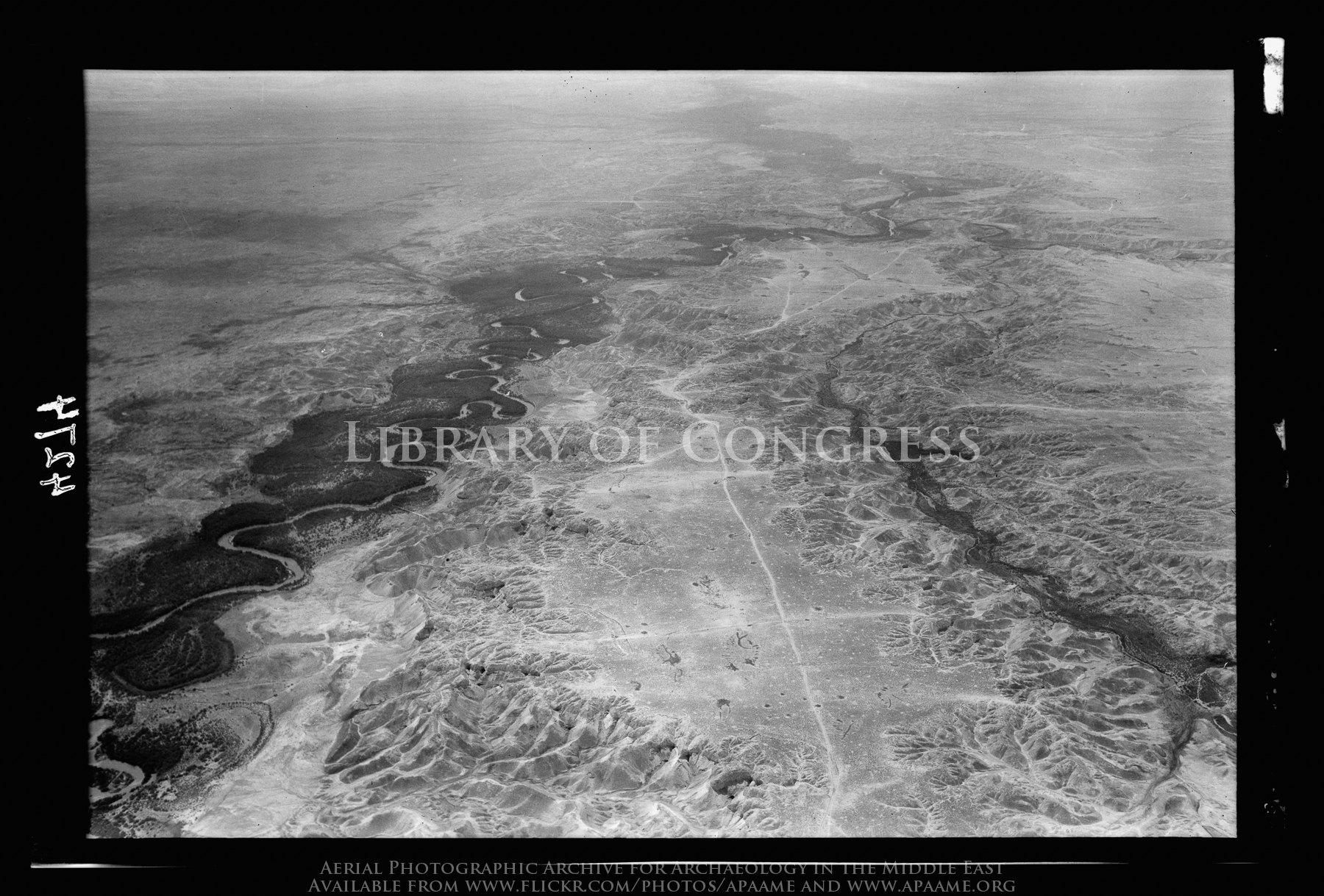
Jordan. A general view. Showing calcareous barren foothills. View looking south

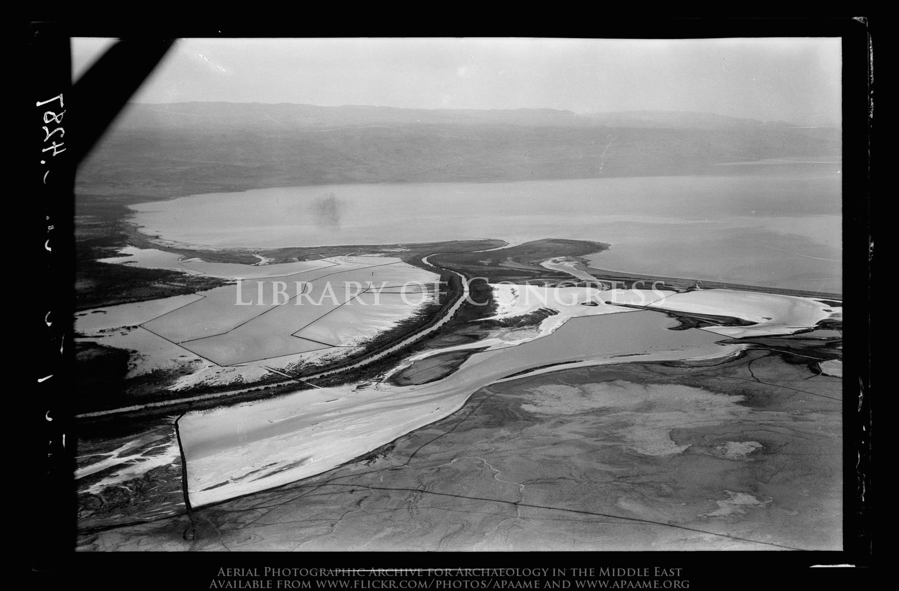
North end of Dead Sea. Mouth of the Jordan. View with north shore and salt pans looking N.W.

100526-80024-LX3
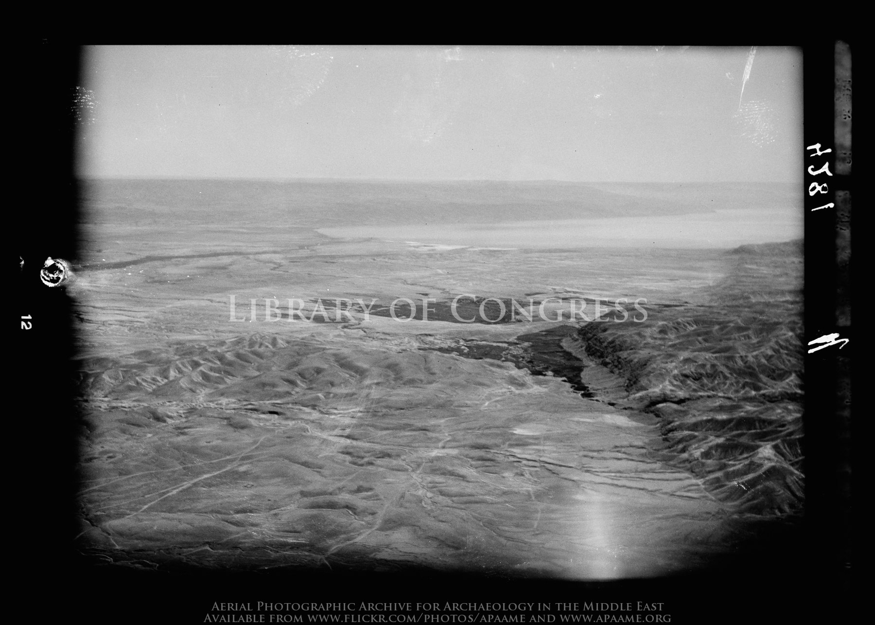
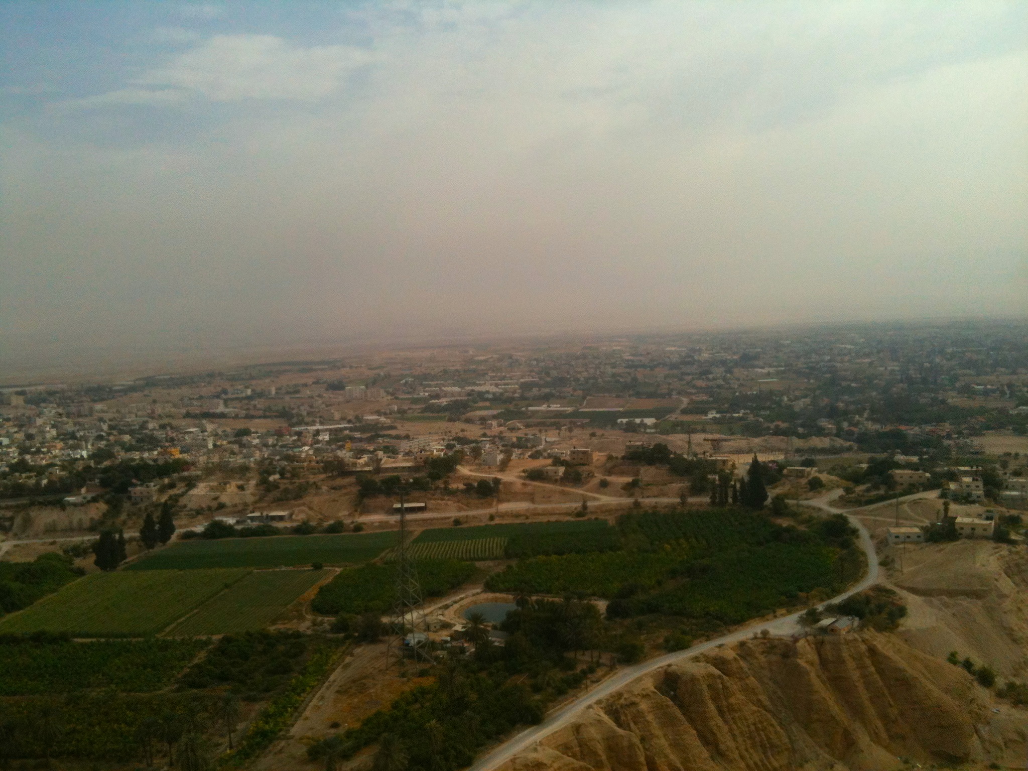
Jericho plain and Dead Sea. A distant view with oasis of Ain Duke in middle foreground

Allenby/Jisr el-Hussein Bridge; Jordan River Valley
Clouds over Qumran

Jordan-5d-614
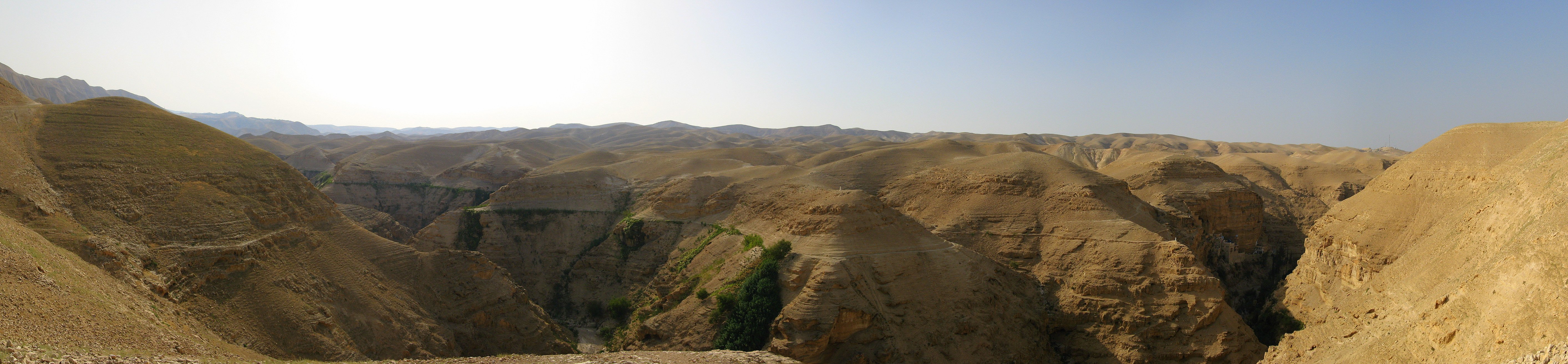
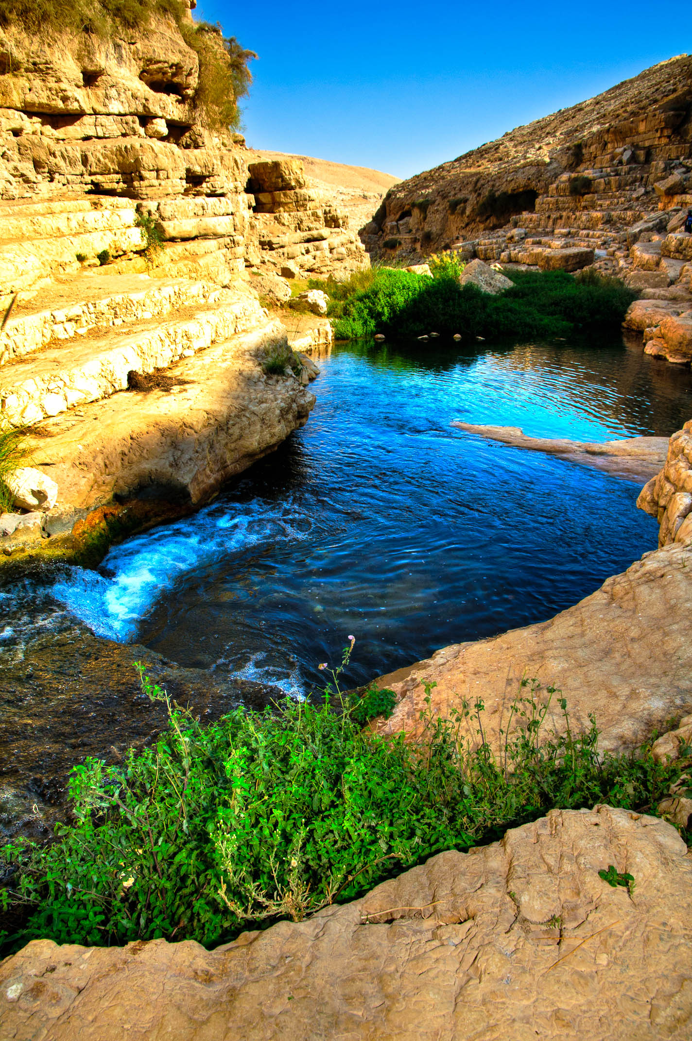
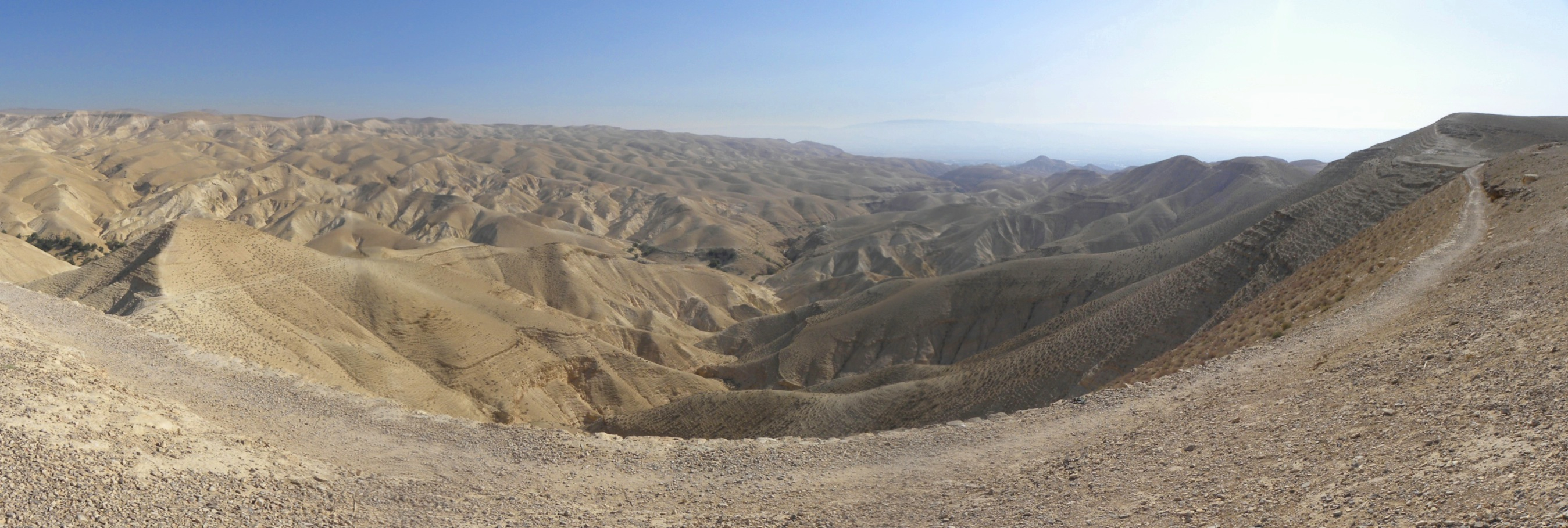
Wadi Qilt Panorama Fisheye
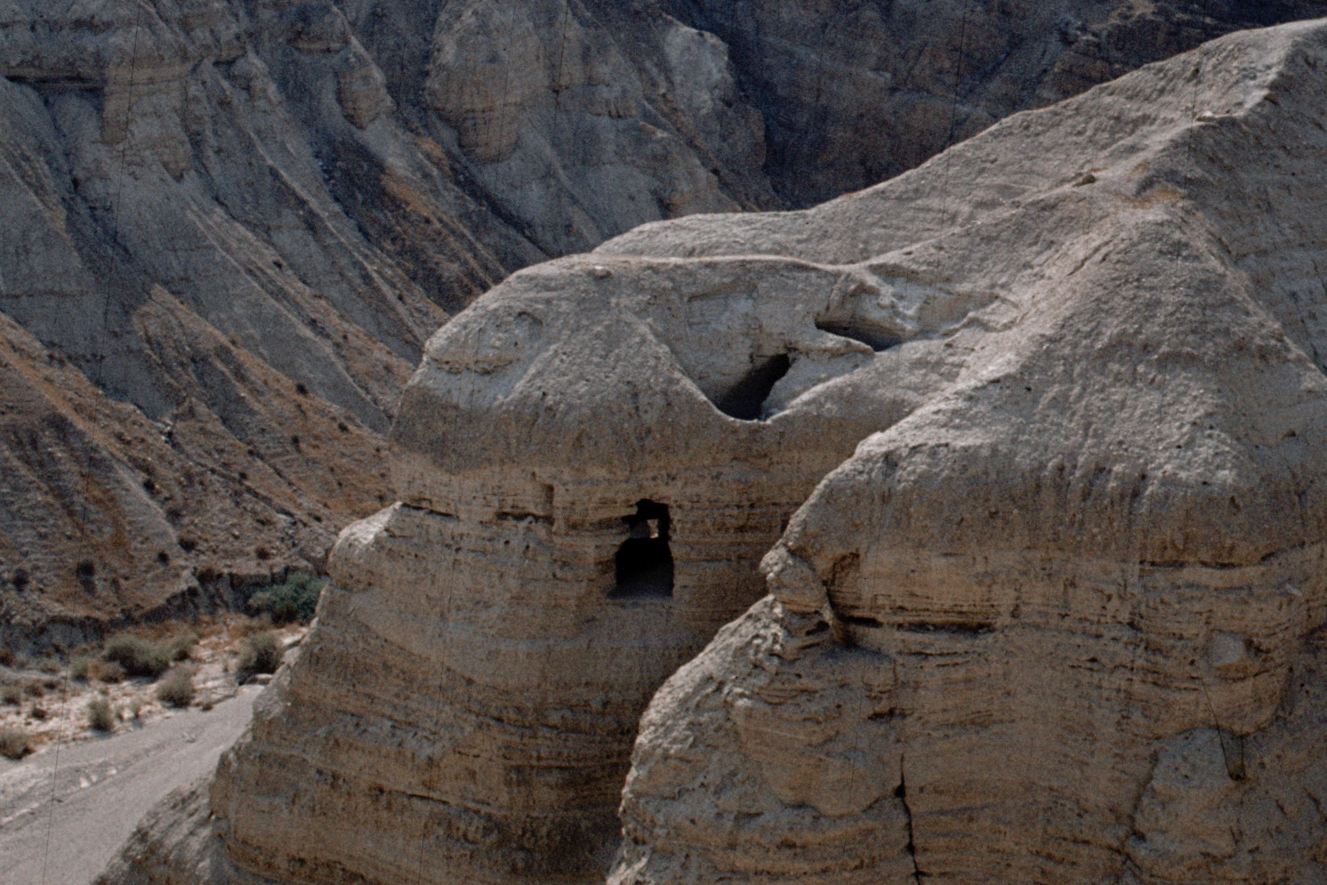
Qumran 1980 - grotta 1
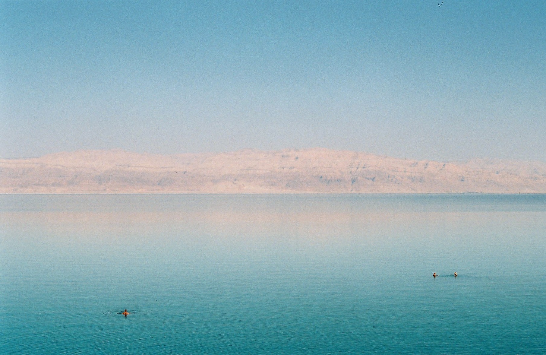
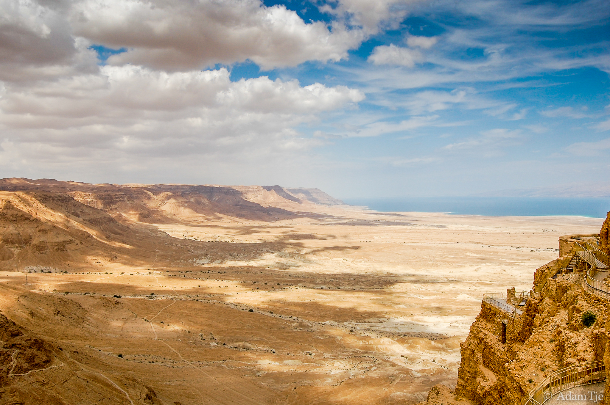
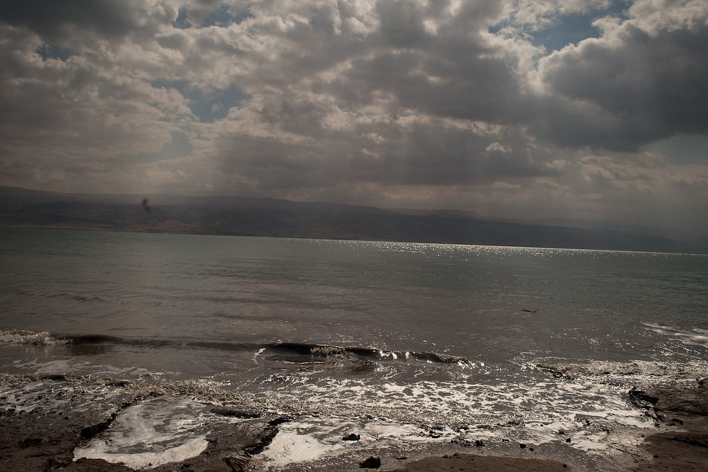
the deadest sea

120424-40093-LX3.jpg

120424-40094-LX3.jpg
follow the yellow line road
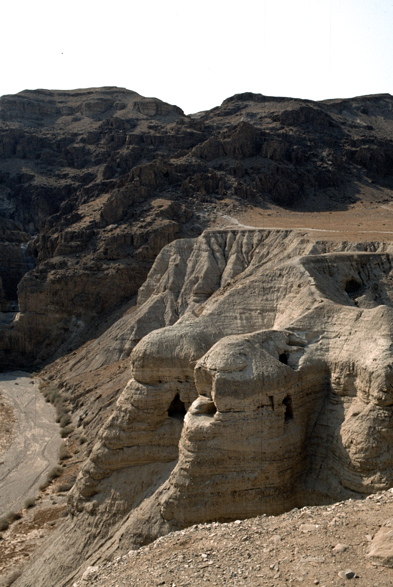
Qumran - le grotte dei manoscritti

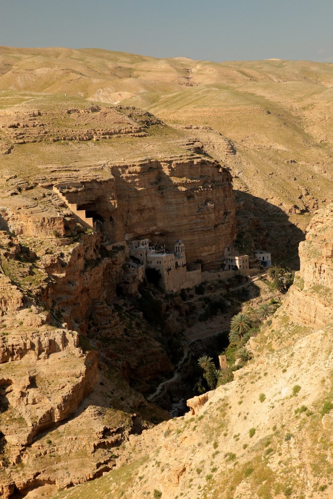
St. George's Monastery
Jour 6 - Wadi Qelt - Monastère Saint Georges de Kossiba (7)Jour 6 - Wadi Qelt - Monastère Saint Georges de Kossiba (7)
20090314-DSC_2341
BL_TRL_Kelt-20101120-0093_tonemapped-Edit.jpg
BL_TRL_Kelt-20101120-0392_tonemapped-Edit.jpg
Panorama of the Judean Wilderness
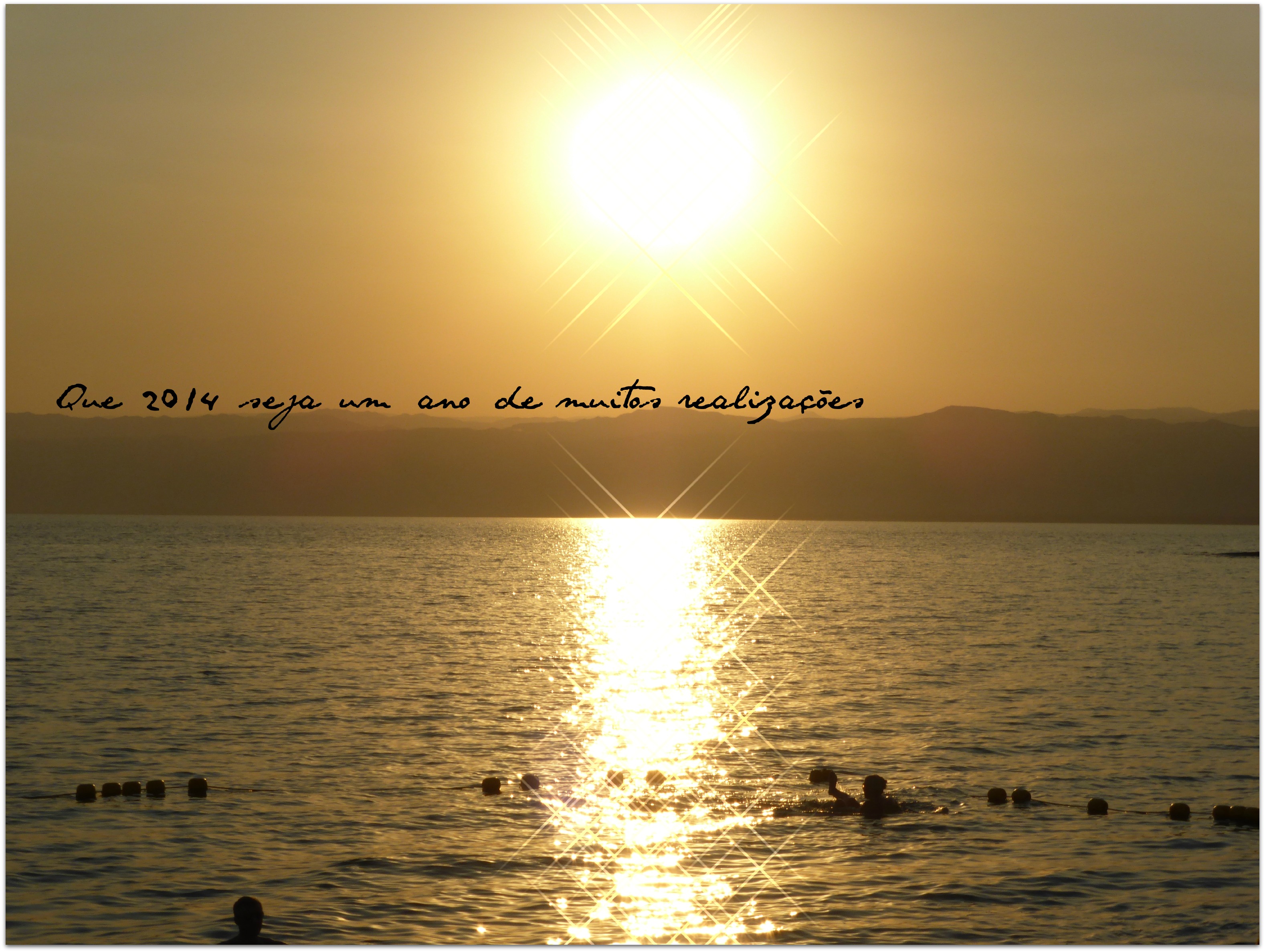
Feliz 2014! Que a vida seja generosa com todos nós!

Jericho 01
2012-11-05 10.14.27
BL_TRL_Kelt-20101120-0343-Edit.jpg
Wadi Kharrar
Topographic Map of Jericho Station, Jericho
Find elevation by address:

Places near Jericho Station, Jericho:
Jericho
Jericho Synagogue
Aqabat Jabr
Kohav Hashahar
Taibe
Geva Binyamin
Abir Yaakov Street
Kfar Ivri St 2
Neve Yaakov
Ofra
Pisgat Ze'ev
28 Sderot Moshe Dayan
Baytin
Palestine
Beit El
Ramallah
Neve Menahem
גבעת זאב החדשה
Kiryat Ye'arim St 26
גבעת זאב
Recent Searches:
- Elevation of Corso Fratelli Cairoli, 35, Macerata MC, Italy
- Elevation of Tallevast Rd, Sarasota, FL, USA
- Elevation of 4th St E, Sonoma, CA, USA
- Elevation of Black Hollow Rd, Pennsdale, PA, USA
- Elevation of Oakland Ave, Williamsport, PA, USA
- Elevation of Pedrógão Grande, Portugal
- Elevation of Klee Dr, Martinsburg, WV, USA
- Elevation of Via Roma, Pieranica CR, Italy
- Elevation of Tavkvetili Mountain, Georgia
- Elevation of Hartfords Bluff Cir, Mt Pleasant, SC, USA