Elevation of Jericho
Longitude: 35.460567
Latitude: 31.856982
Elevation: -252m / -827feet
Barometric Pressure: 104KPa
Elevation Map:
Satellite Map:
Related Photos:
Ghor er Rama
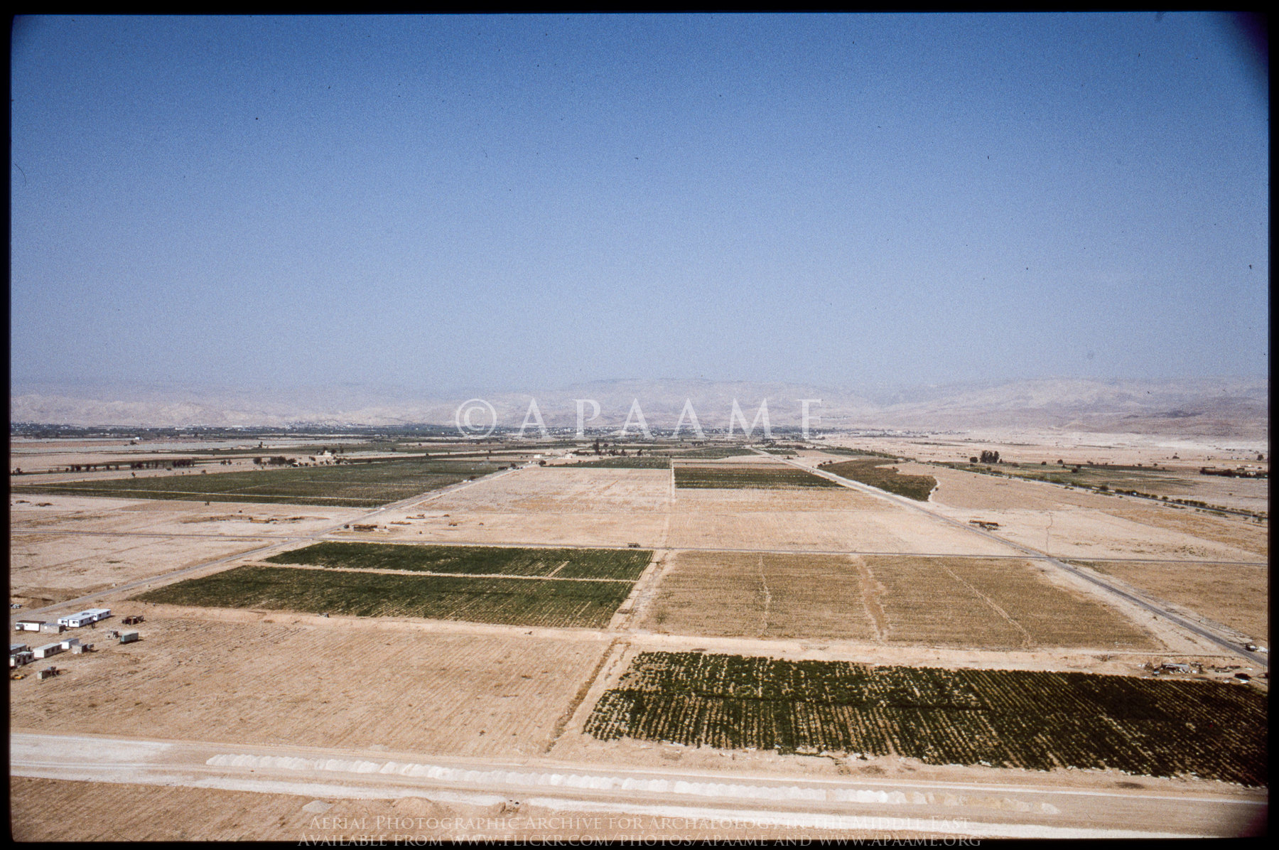
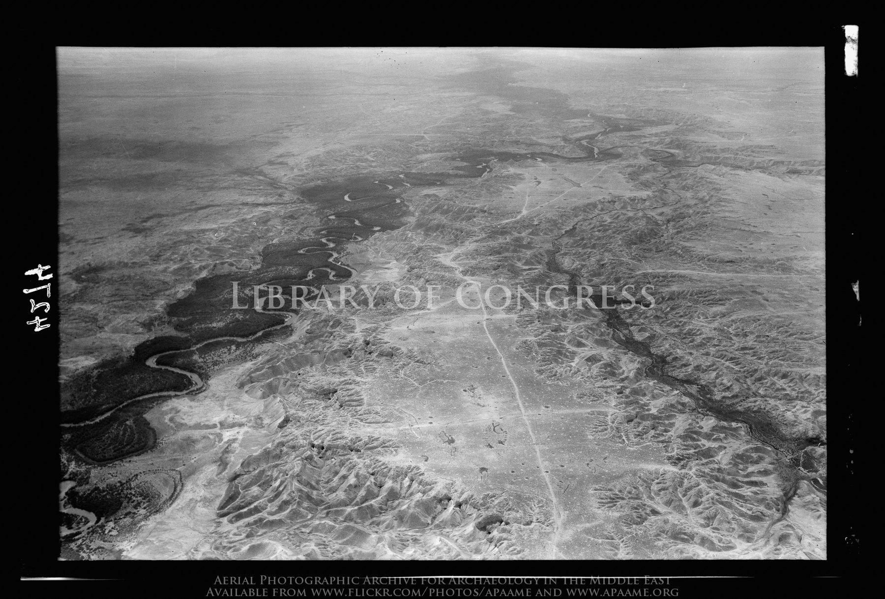
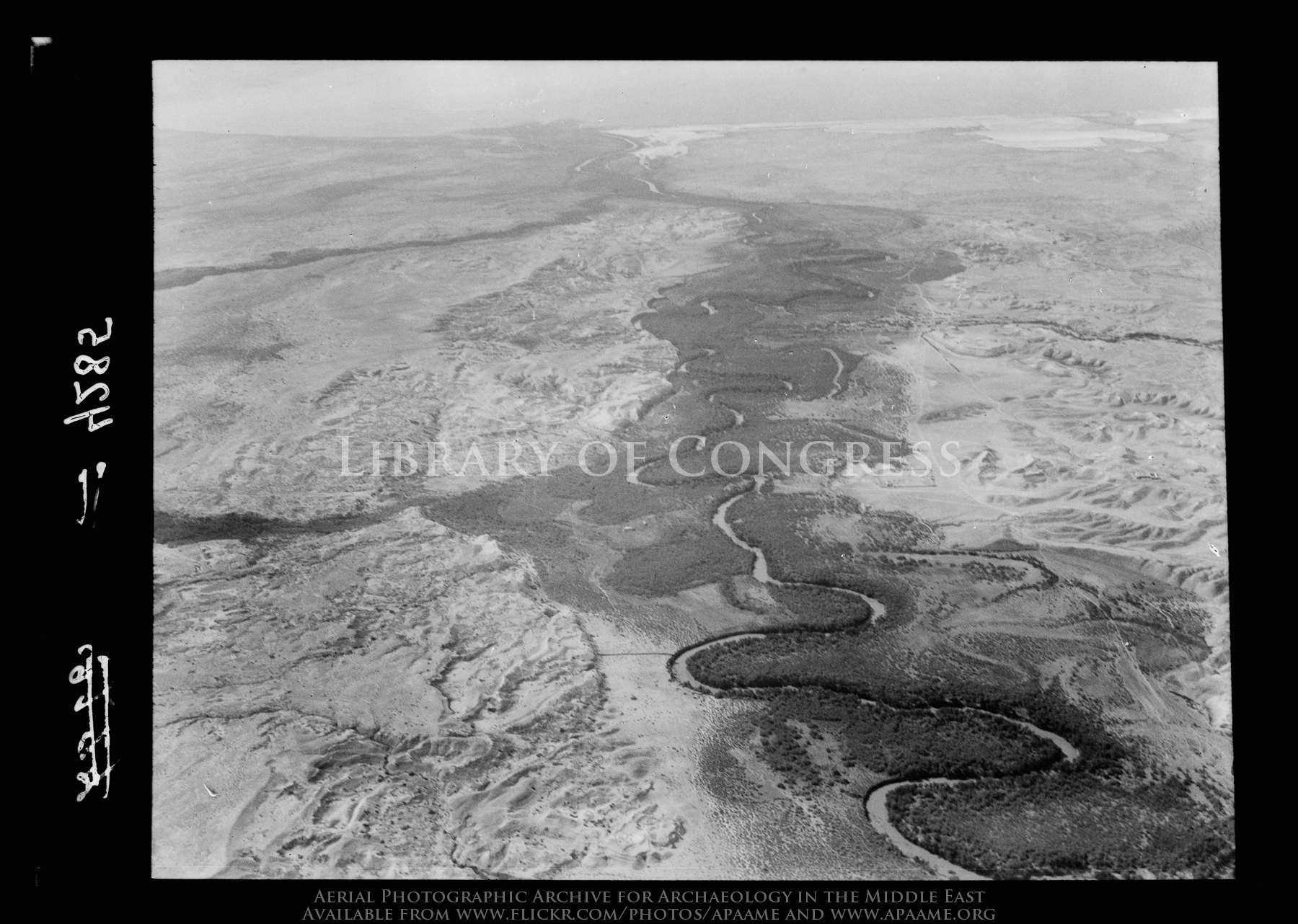
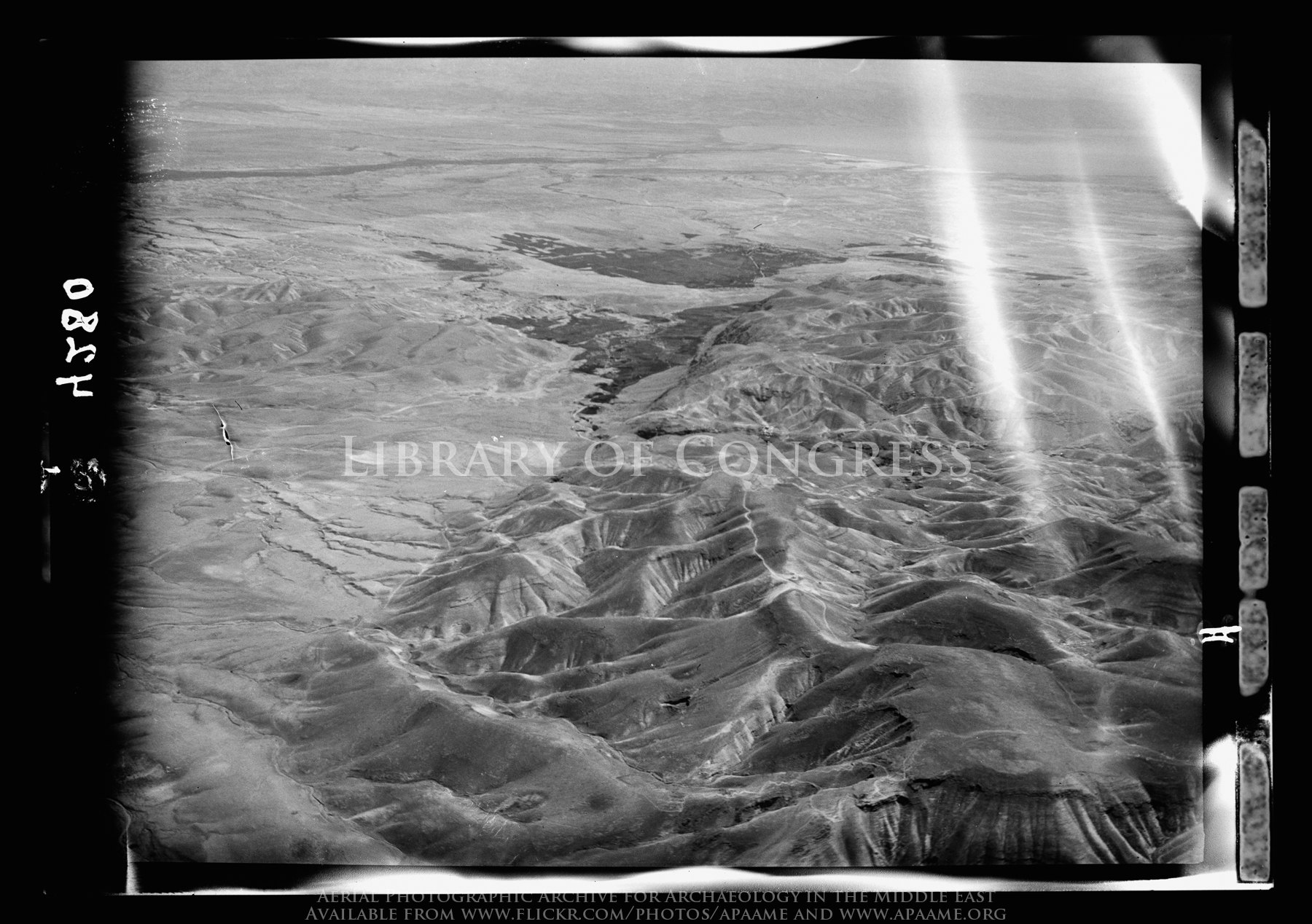
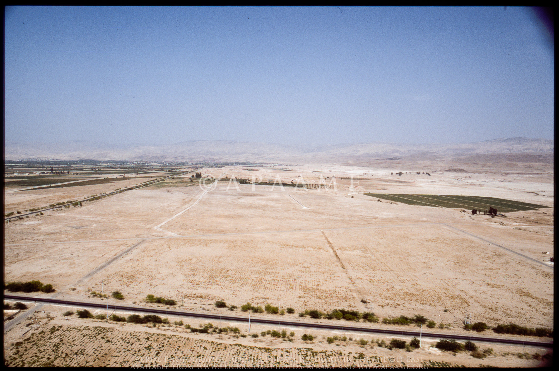
Jordan River Valley
Welcome to the Negev
Jordan River Valley
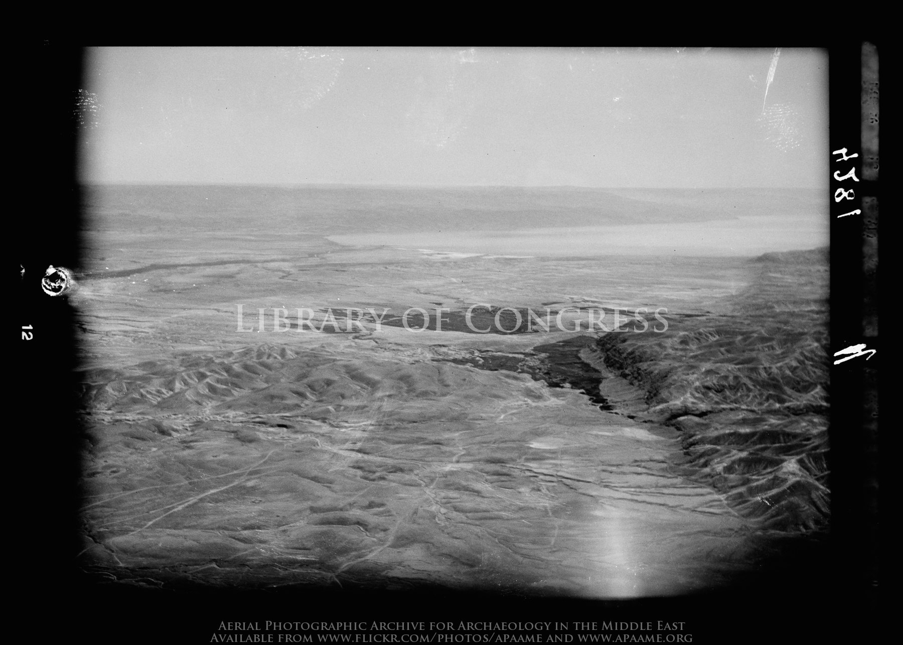
Jordan entering the Dead Sea. Looking S. showing mts. of Moab in distance
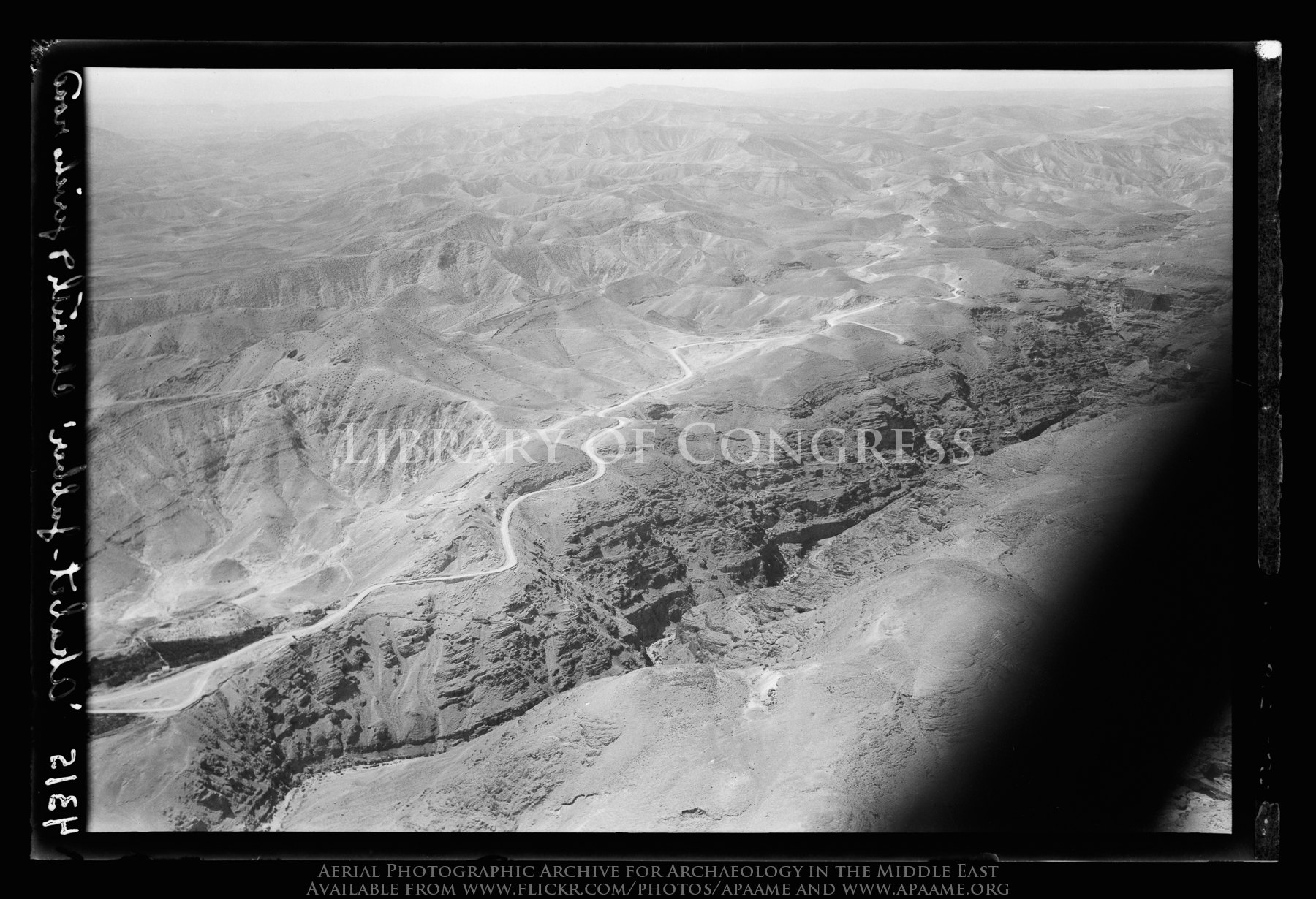
Jericho Road. The steep ascent from the plain. Seen across the Cherith gorge
Jordan. A general view. Showing calcareous barren foothills. View looking south

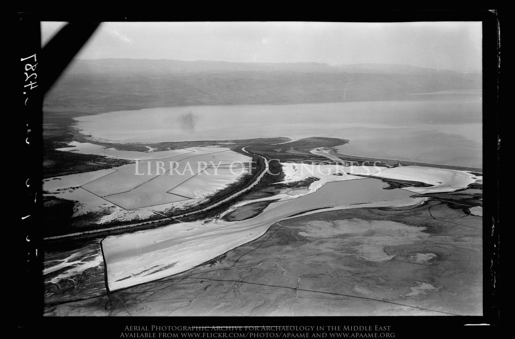
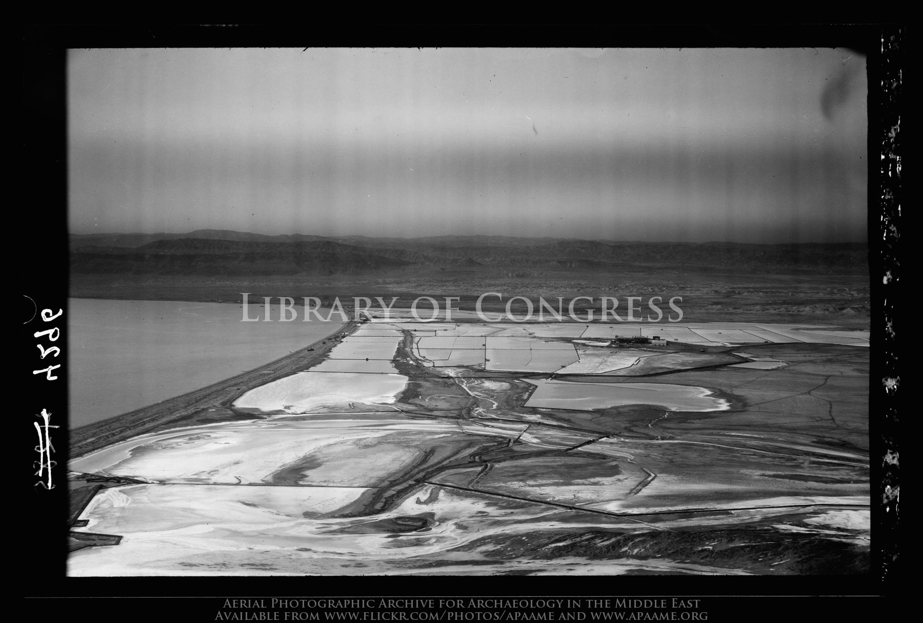
North end of Dead Sea. Mouth of the Jordan. View with north shore and salt pans looking N.W.
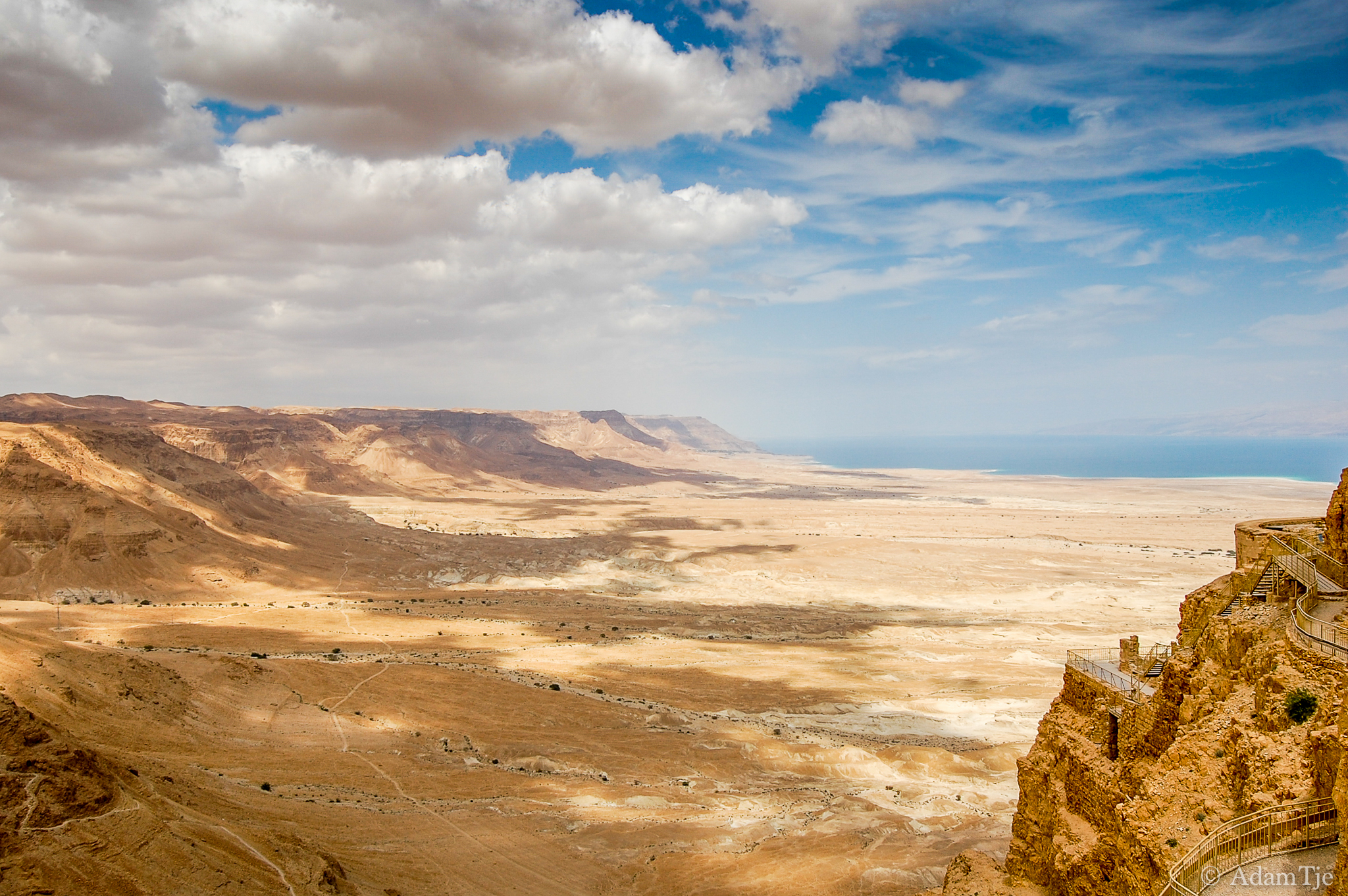
Jericho plain and Dead Sea. A distant view with oasis of Ain Duke in middle foreground
Jordan river. Area near convent of St. John (Bethany/Baptism Site)

Allenby/Jisr el-Hussein Bridge; Jordan River Valley
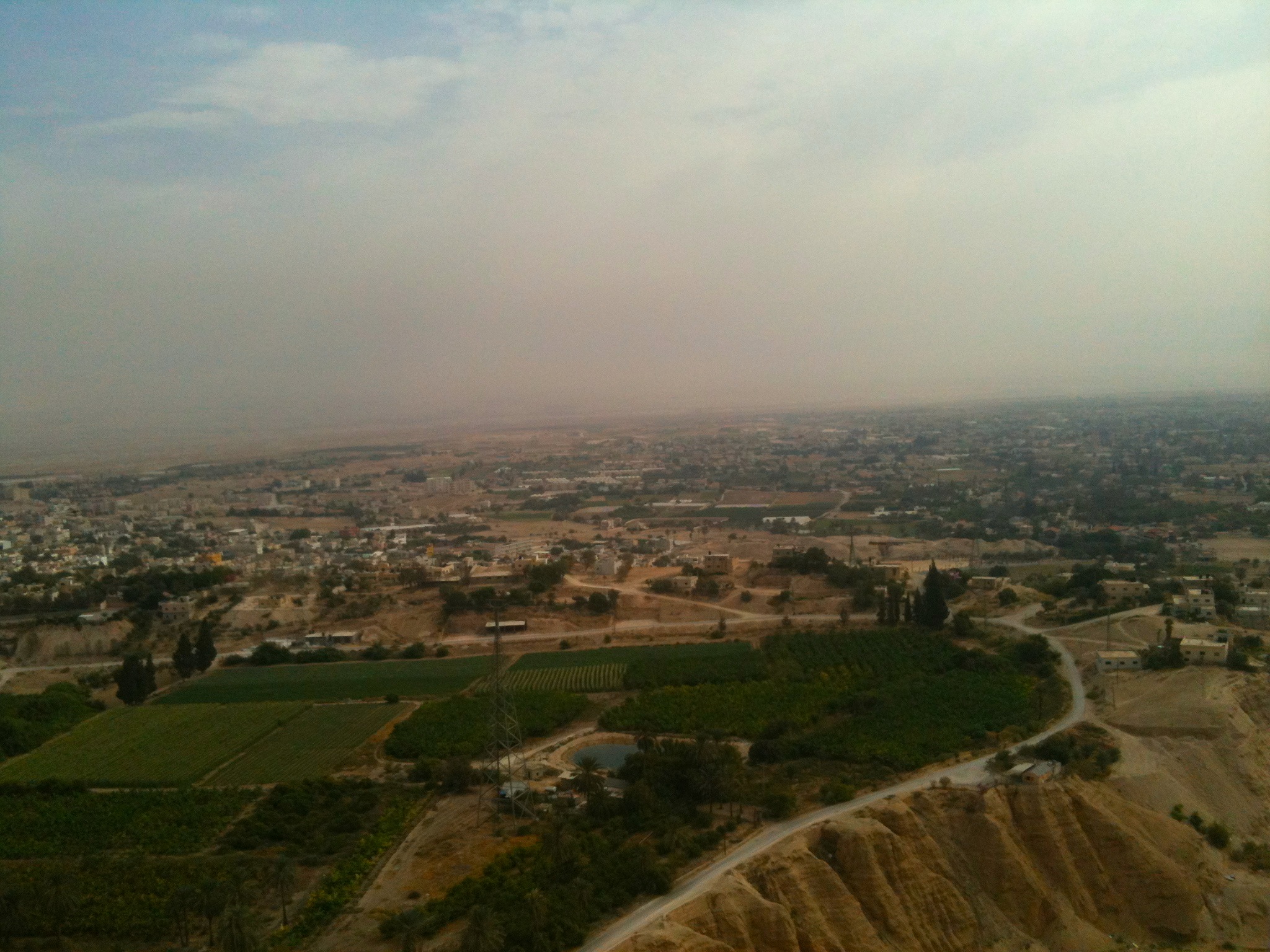
Wilderness of Judea foothills. Ain Duke, Jericho, and Jordan in distance
Exit strategy

The Palestine Potash Works. On N. shore of the Dead Sea.
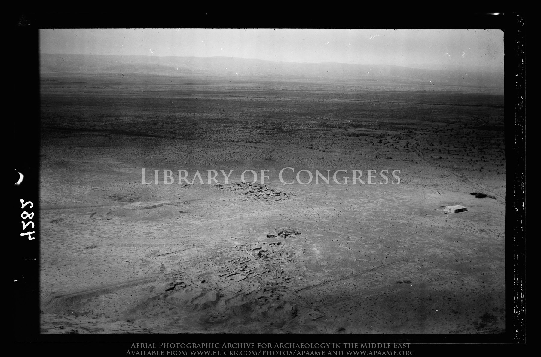
Tell Ghassul. Identified as site of Sodom and Gomorrah. E. of Jordan, N. of Dead Sea (Teleilat el-Ghassul)
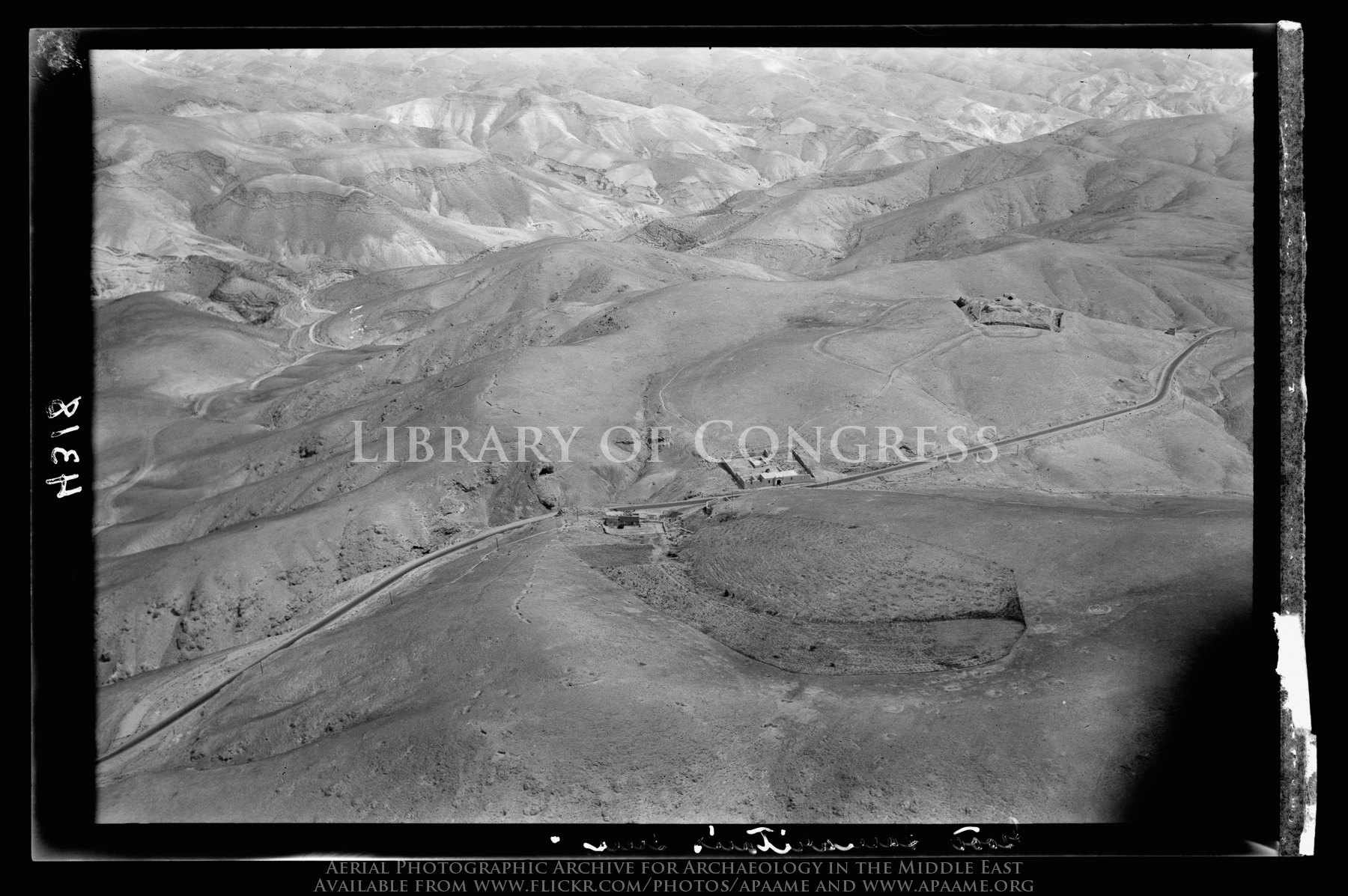
The Good Samaritan's Inn. On the Jericho road, looking N.E. showing ancient castle
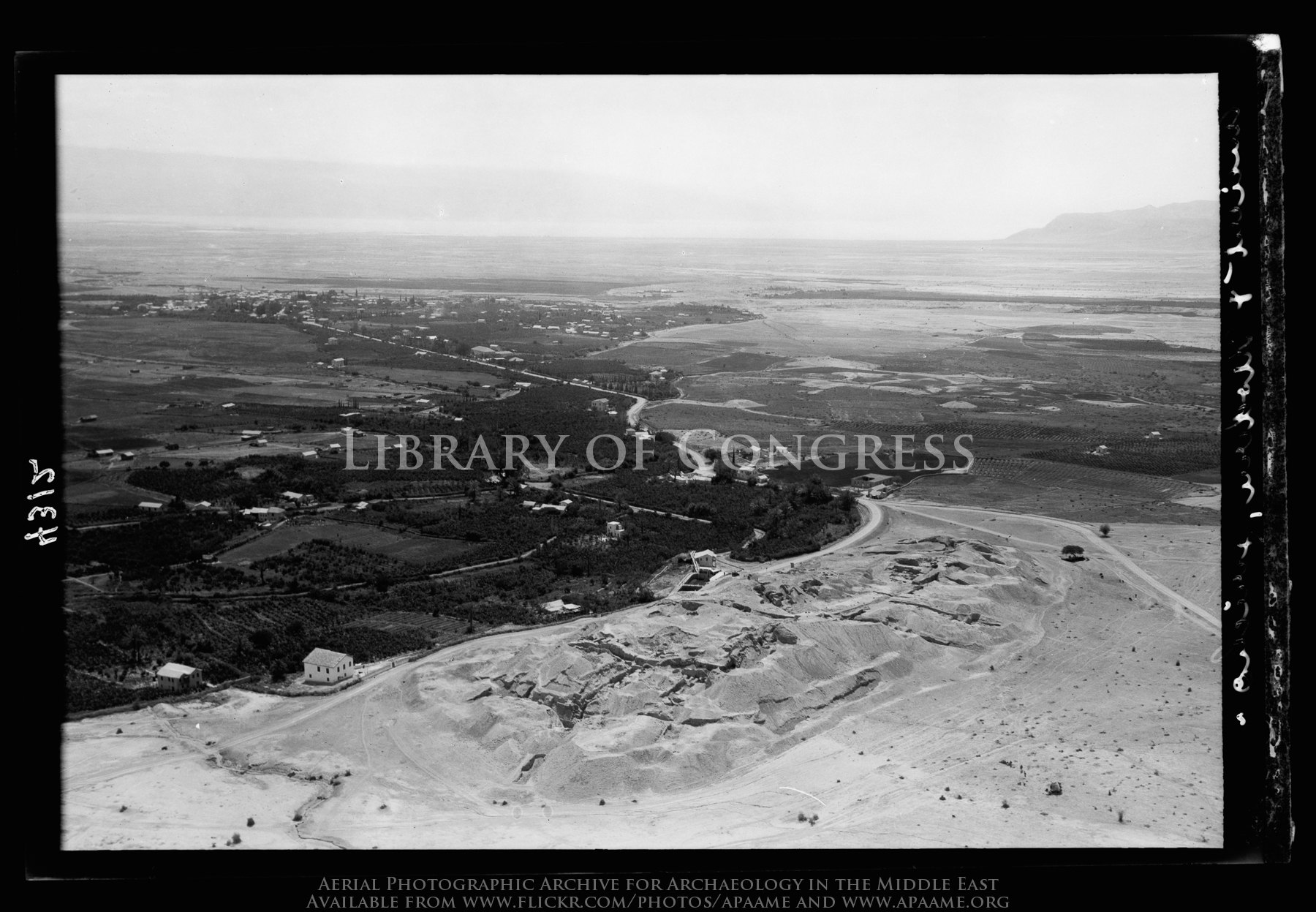
[Jericho Citadel] Mound of ancient Jericho. Looking southward, modern Jericho in distance.

Neby Mousa shrine. Closer view looking toward the Jericho plan
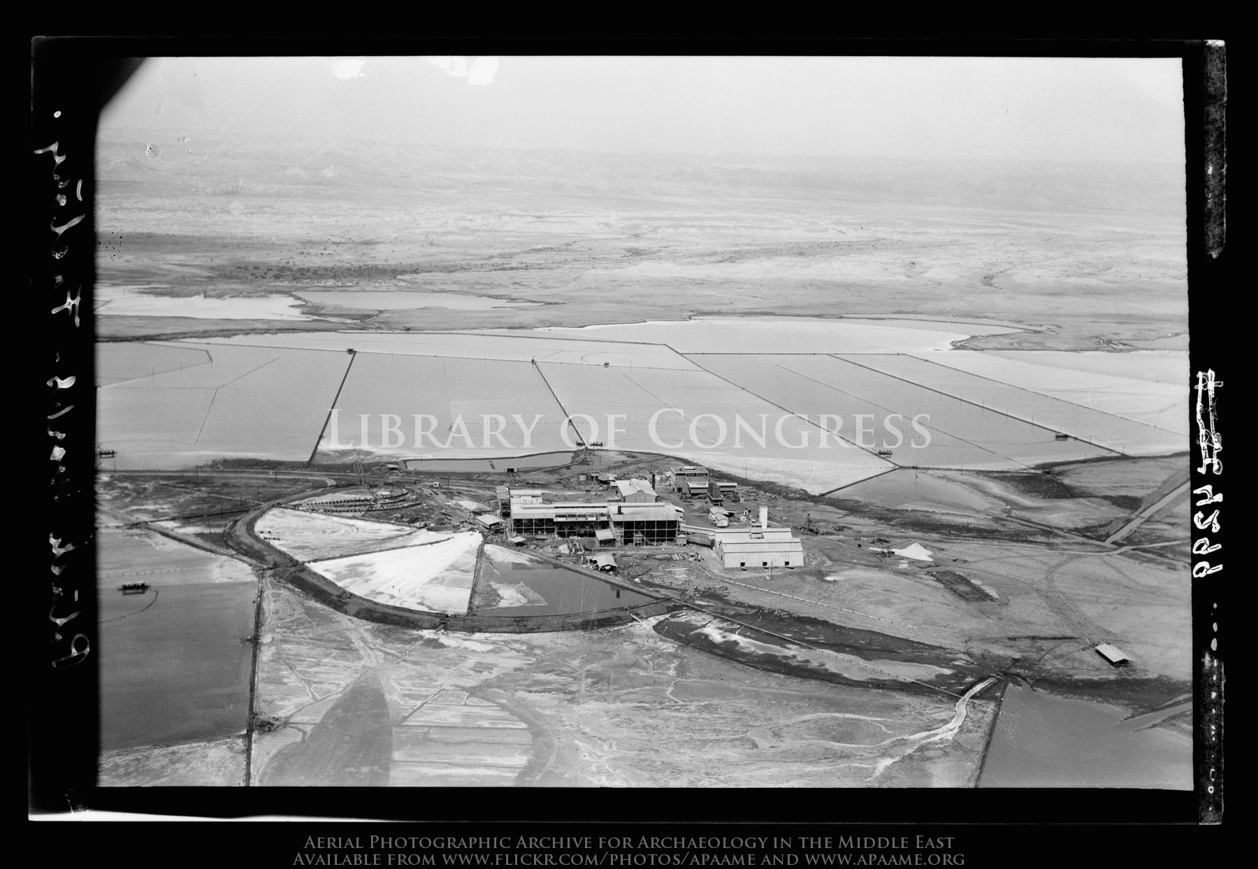
The Palestine Potash Works. On N. shore of the Dead Sea. The refinery
The Palestine Potash Works. On N. shore of the Dead Sea.
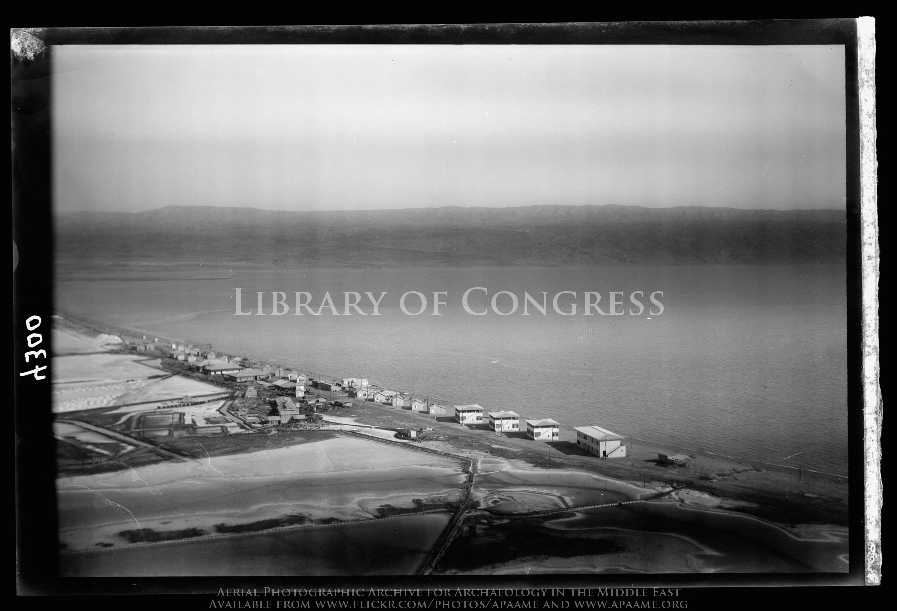
The Palestine Potash Works. On N. shore of the Dead Sea. Palestine Potash Plant. Workers' settlement along the north shore
Clouds over Qumran
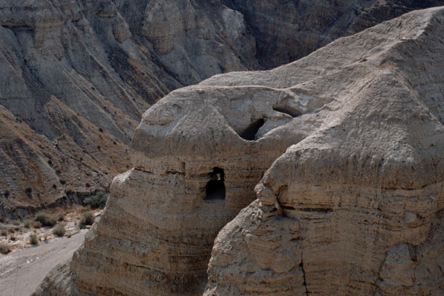
Qumran 1980 - grotta 1
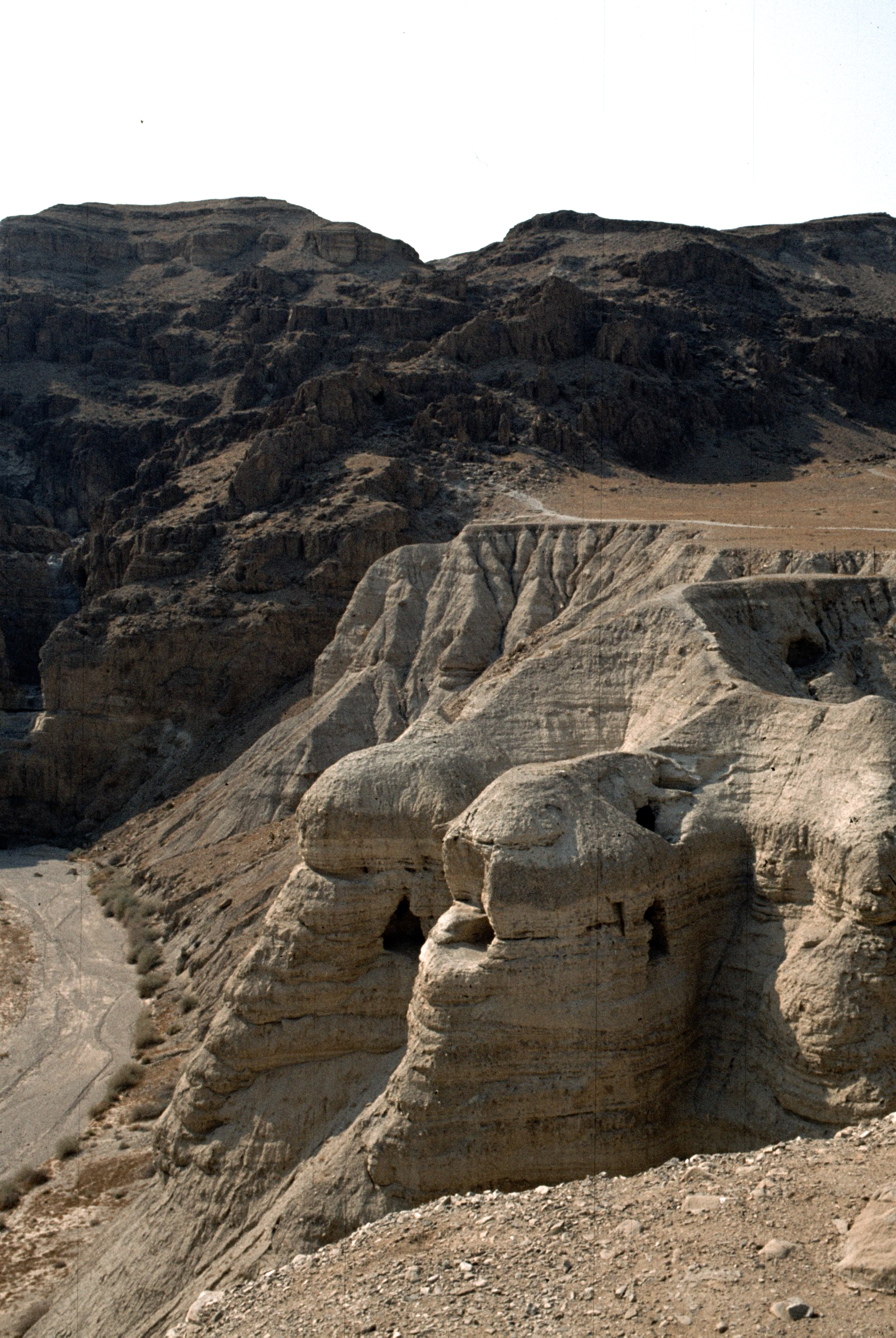
Qumran - le grotte dei manoscritti

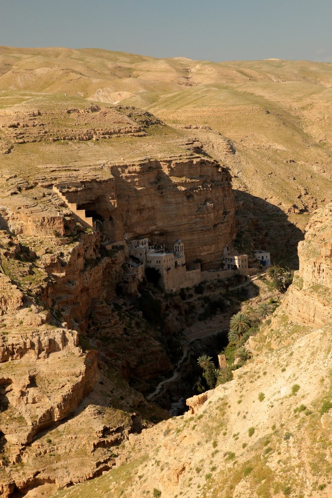
St. George's Monastery
Jour 6 - Wadi Qelt - Monastère Saint Georges de Kossiba (7)Jour 6 - Wadi Qelt - Monastère Saint Georges de Kossiba (7)
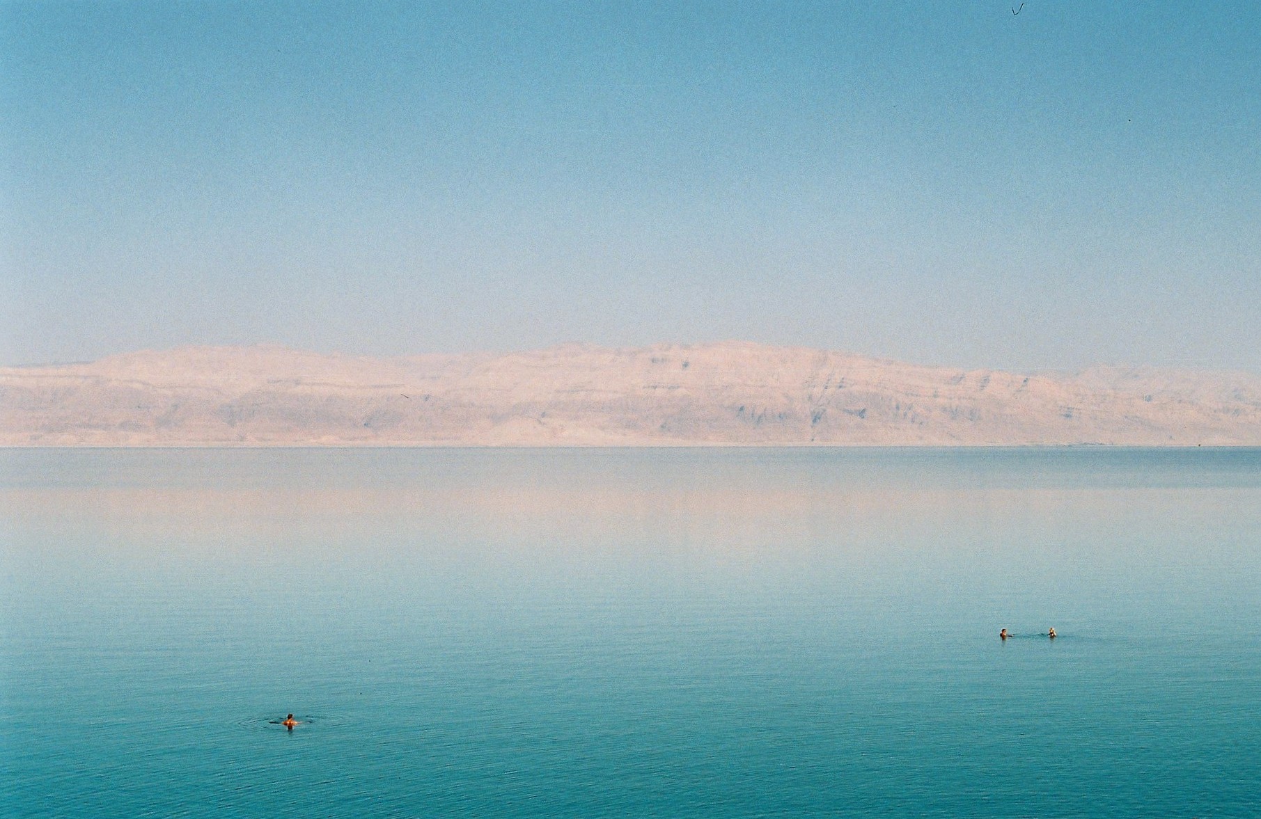
the deadest sea
20090314-DSC_2341
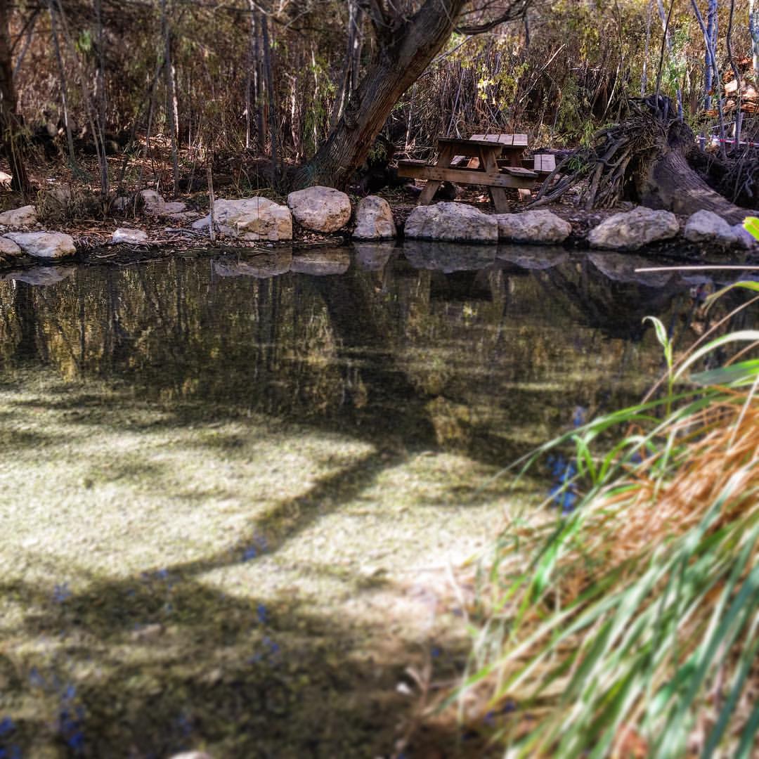
follow the yellow line road
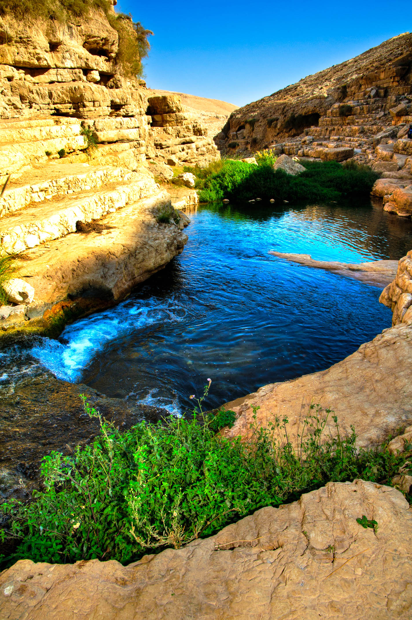
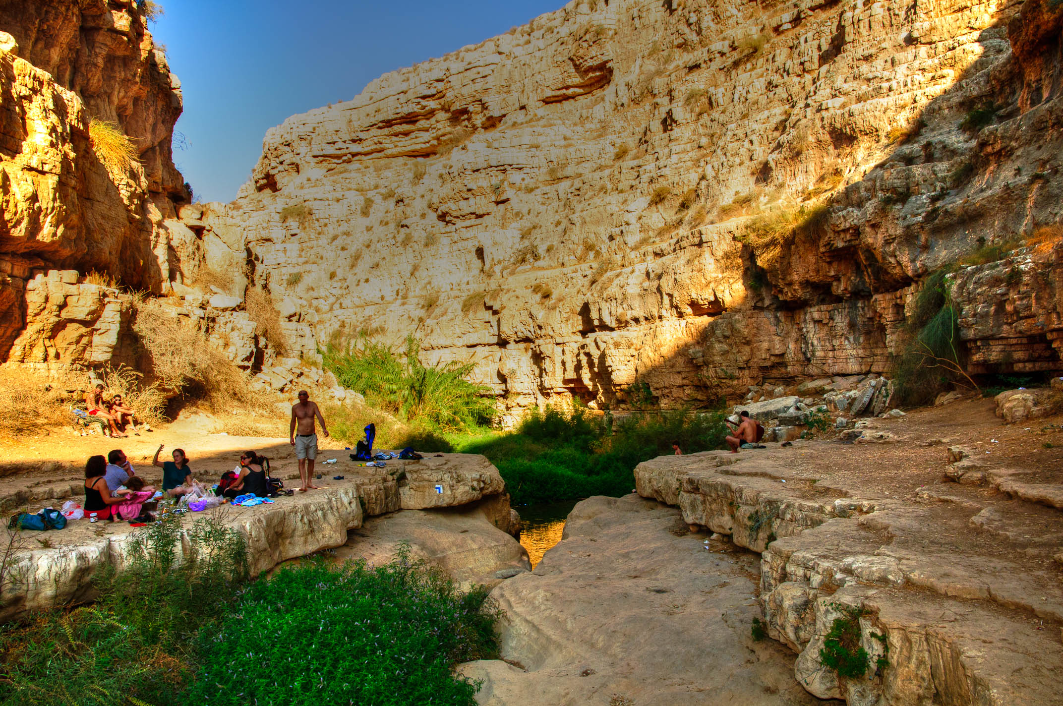
20130328_Upper VadiKelt_נחל פרת (236)
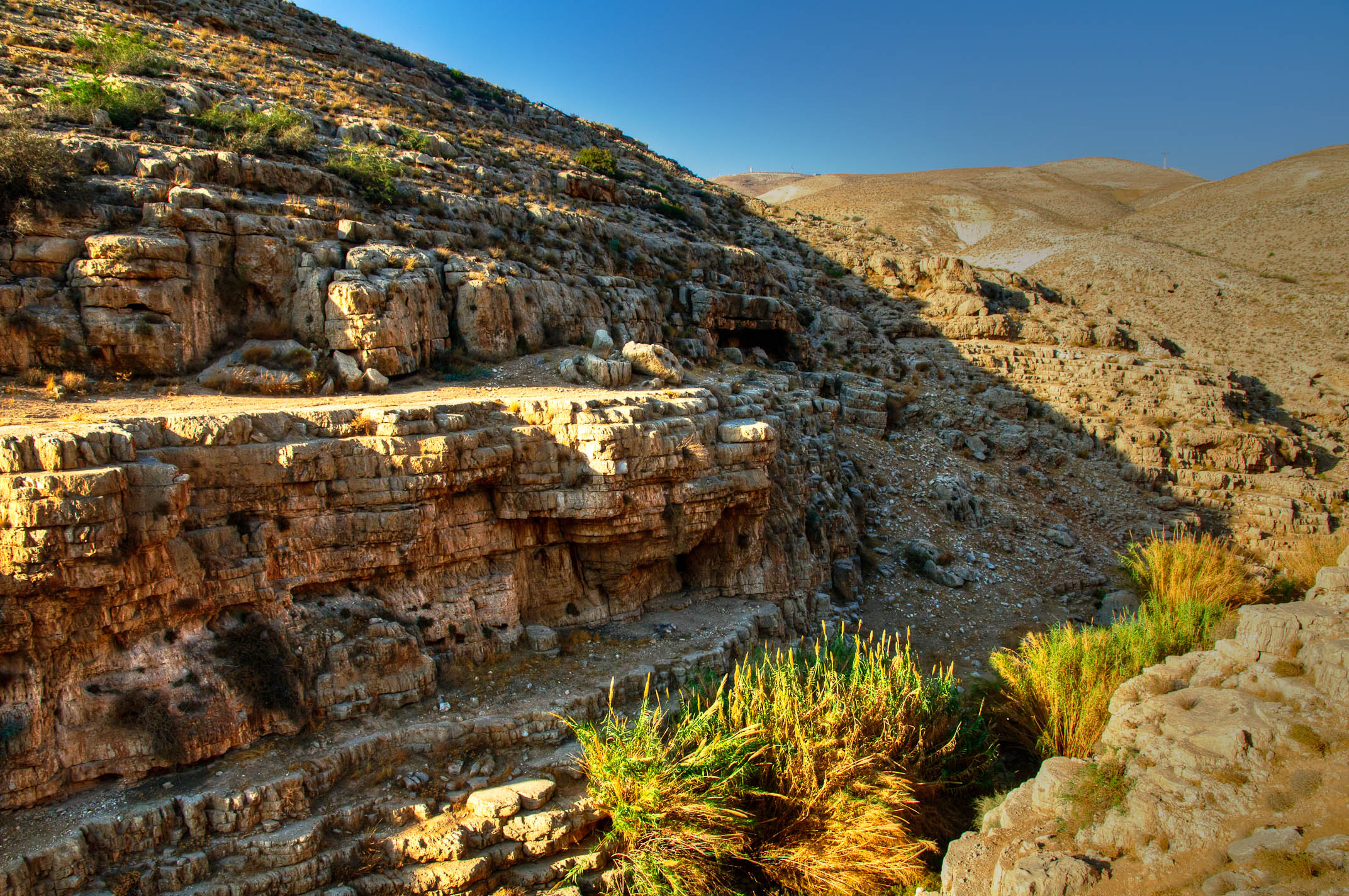
BL_TRL_Kelt-20101120-0093_tonemapped-Edit.jpg
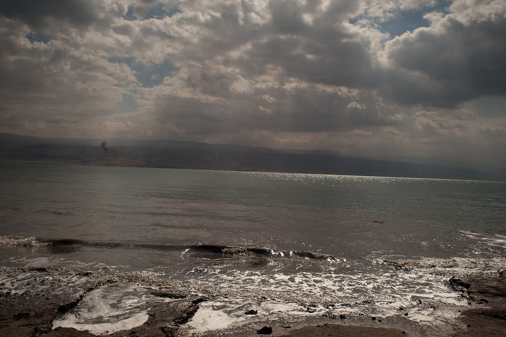
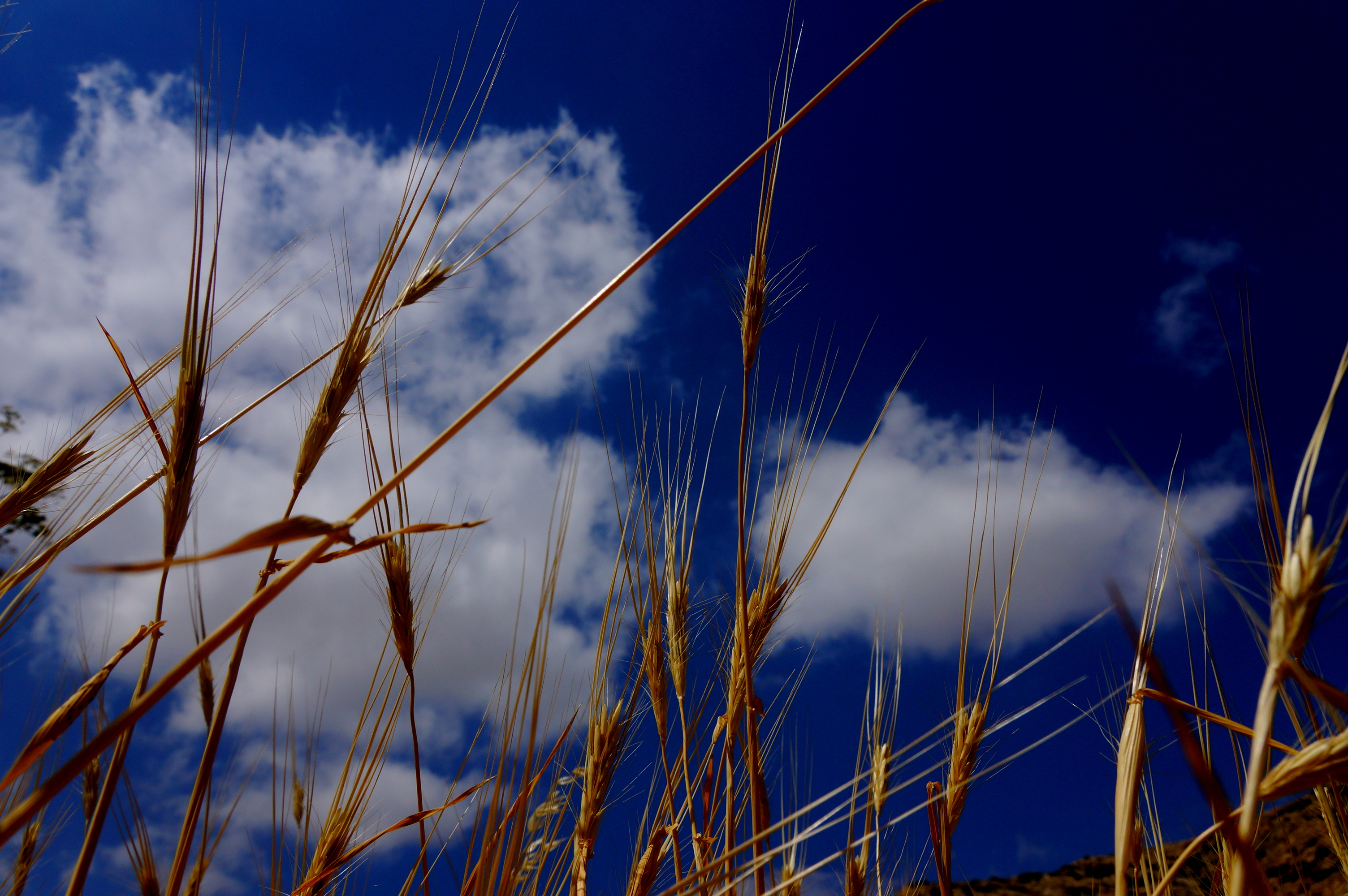
#nature, #deadsea
BL_TRL_Kelt-20101120-0392_tonemapped-Edit.jpg
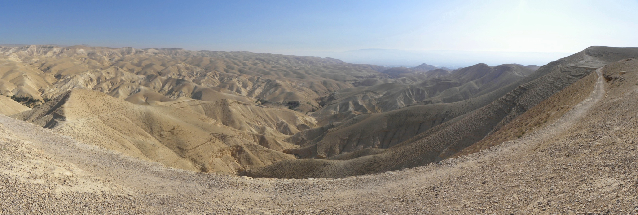
Panorama of the Judean Wilderness

Jericho 01
2012-11-05 10.14.27
BL_TRL_Kelt-20101120-0343-Edit.jpg
Wadi Kharrar
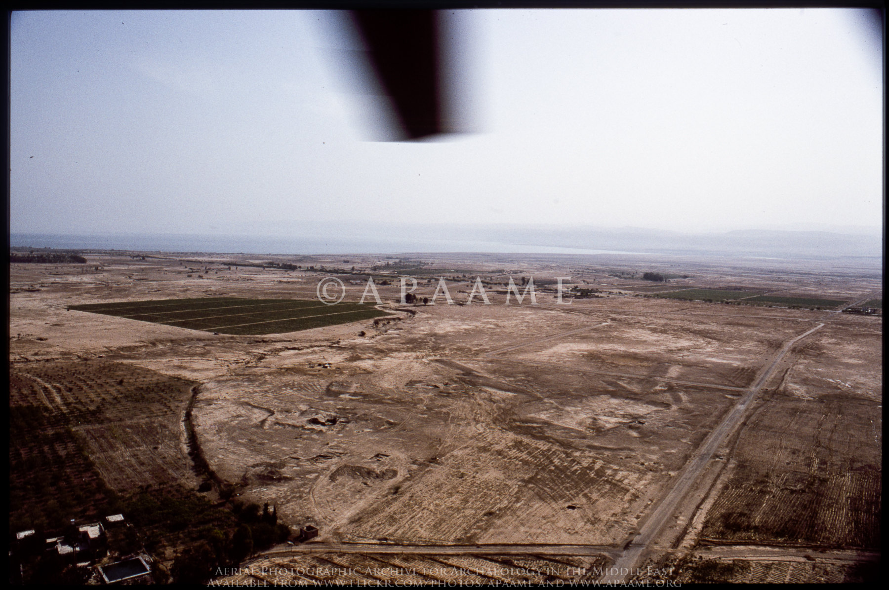
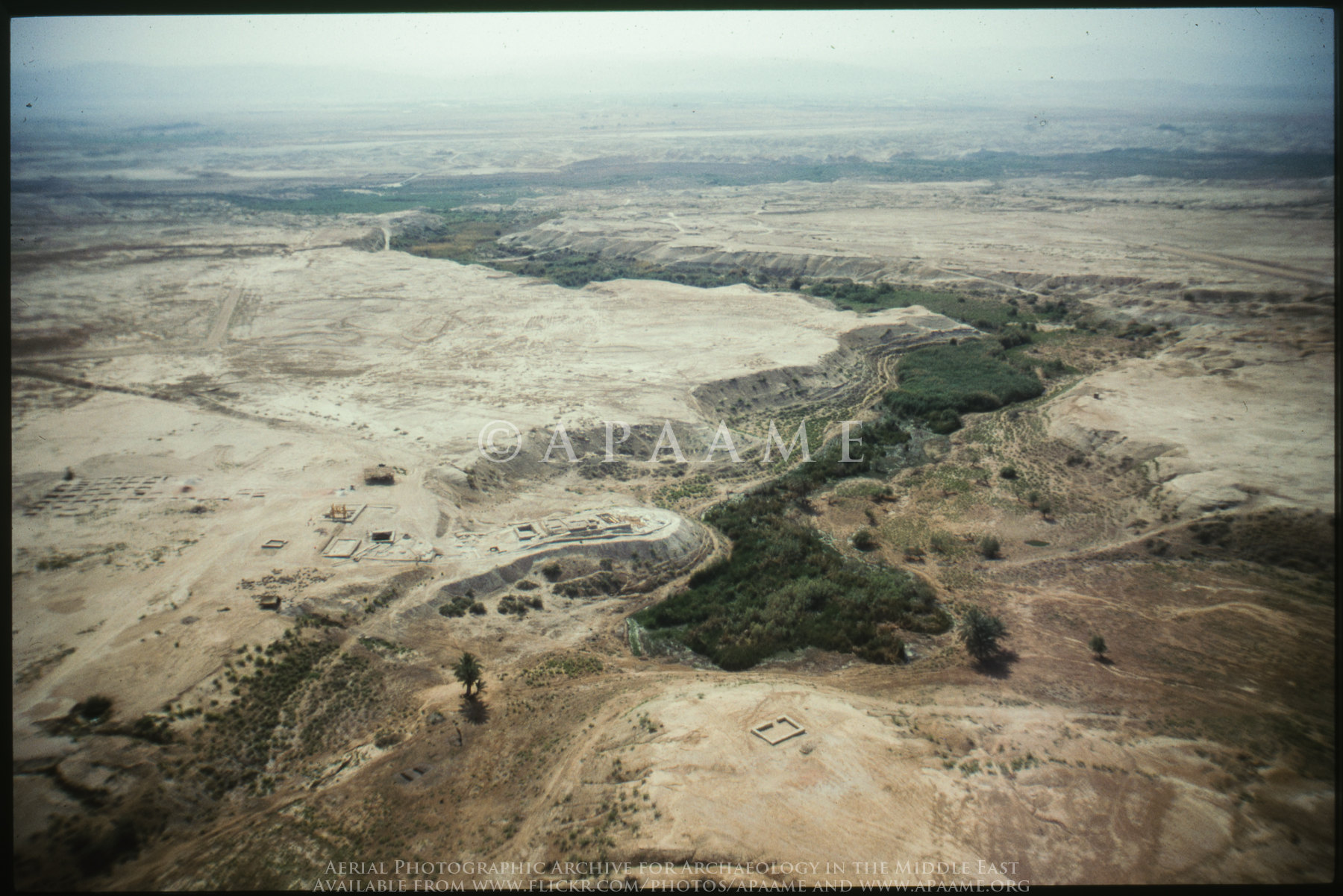
Teleilat el-Ghassul
Teleilat el-Ghassul

BL_TRL_Kelt-20101120-0208-Edit.jpg

20130328_Upper VadiKelt_נחל פרת (22)
Topographic Map of Jericho
Find elevation by address:

Places near Jericho:
Jericho Station
Jericho Synagogue
Aqabat Jabr
Kohav Hashahar
Geva Binyamin
Taibe
Abir Yaakov Street
Kfar Ivri St 2
Neve Yaakov
Pisgat Ze'ev
Ofra
28 Sderot Moshe Dayan
Baytin
Palestine
Beit El
Ramallah
Neve Menahem
גבעת זאב החדשה
Kiryat Ye'arim St 26
גבעת זאב
Recent Searches:
- Elevation of Corso Fratelli Cairoli, 35, Macerata MC, Italy
- Elevation of Tallevast Rd, Sarasota, FL, USA
- Elevation of 4th St E, Sonoma, CA, USA
- Elevation of Black Hollow Rd, Pennsdale, PA, USA
- Elevation of Oakland Ave, Williamsport, PA, USA
- Elevation of Pedrógão Grande, Portugal
- Elevation of Klee Dr, Martinsburg, WV, USA
- Elevation of Via Roma, Pieranica CR, Italy
- Elevation of Tavkvetili Mountain, Georgia
- Elevation of Hartfords Bluff Cir, Mt Pleasant, SC, USA