Elevation of Aqabat Jabr
Longitude: 35.445564
Latitude: 31.842048
Elevation: -10000m / -32808feet
Barometric Pressure: 295KPa
Elevation Map:
Satellite Map:
Related Photos:

Jericho Road. The steep ascent from the plain. Seen across the Cherith gorge

The Good Samaritan's Inn. On the Jericho road, looking N.E. showing ancient castle

Gorge of the Cherith and St. George's Convent. Jericho road in foreground

Tree of Zacchaeus

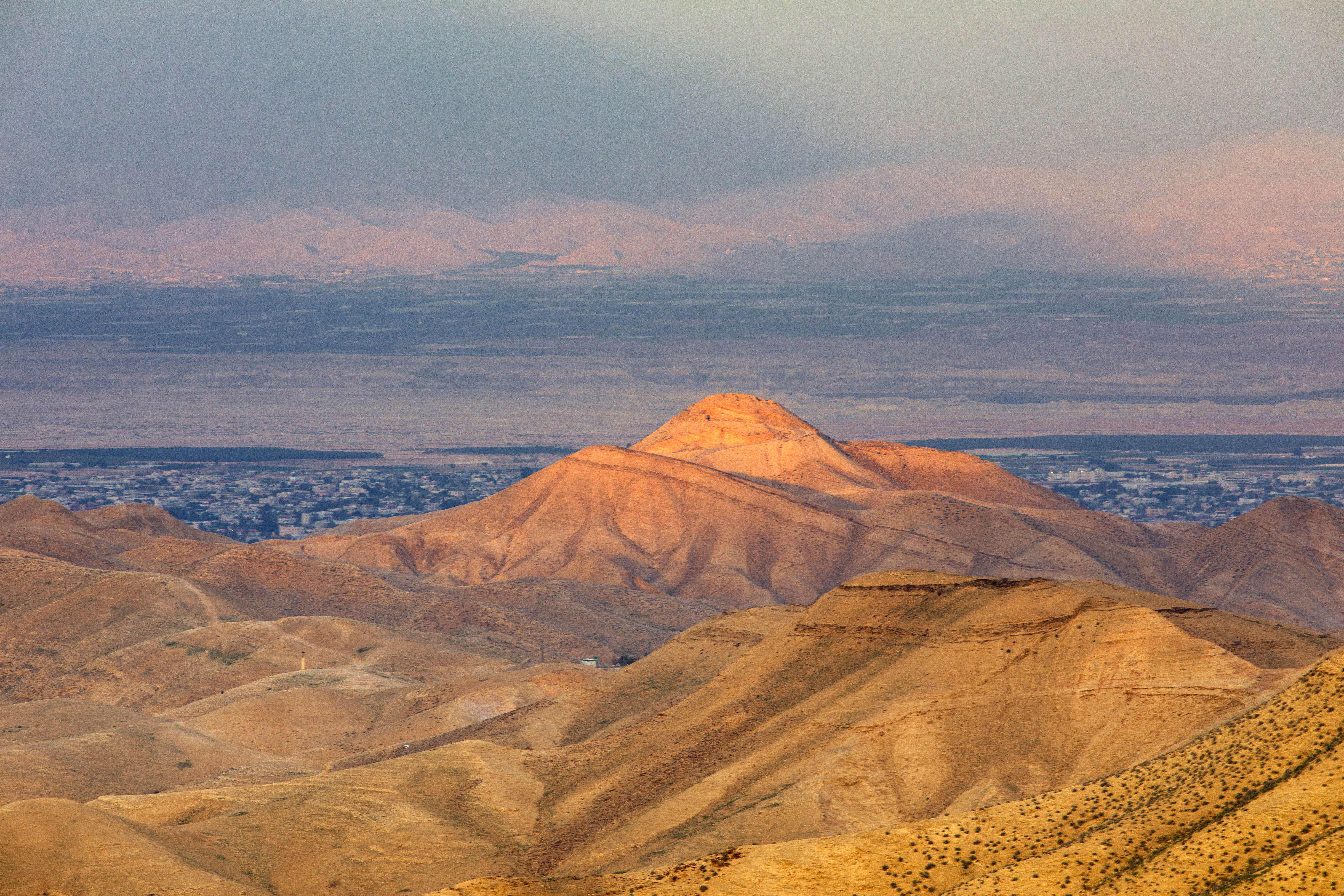
View to the Jordan Rift Valley near Mitzpe Yeriho
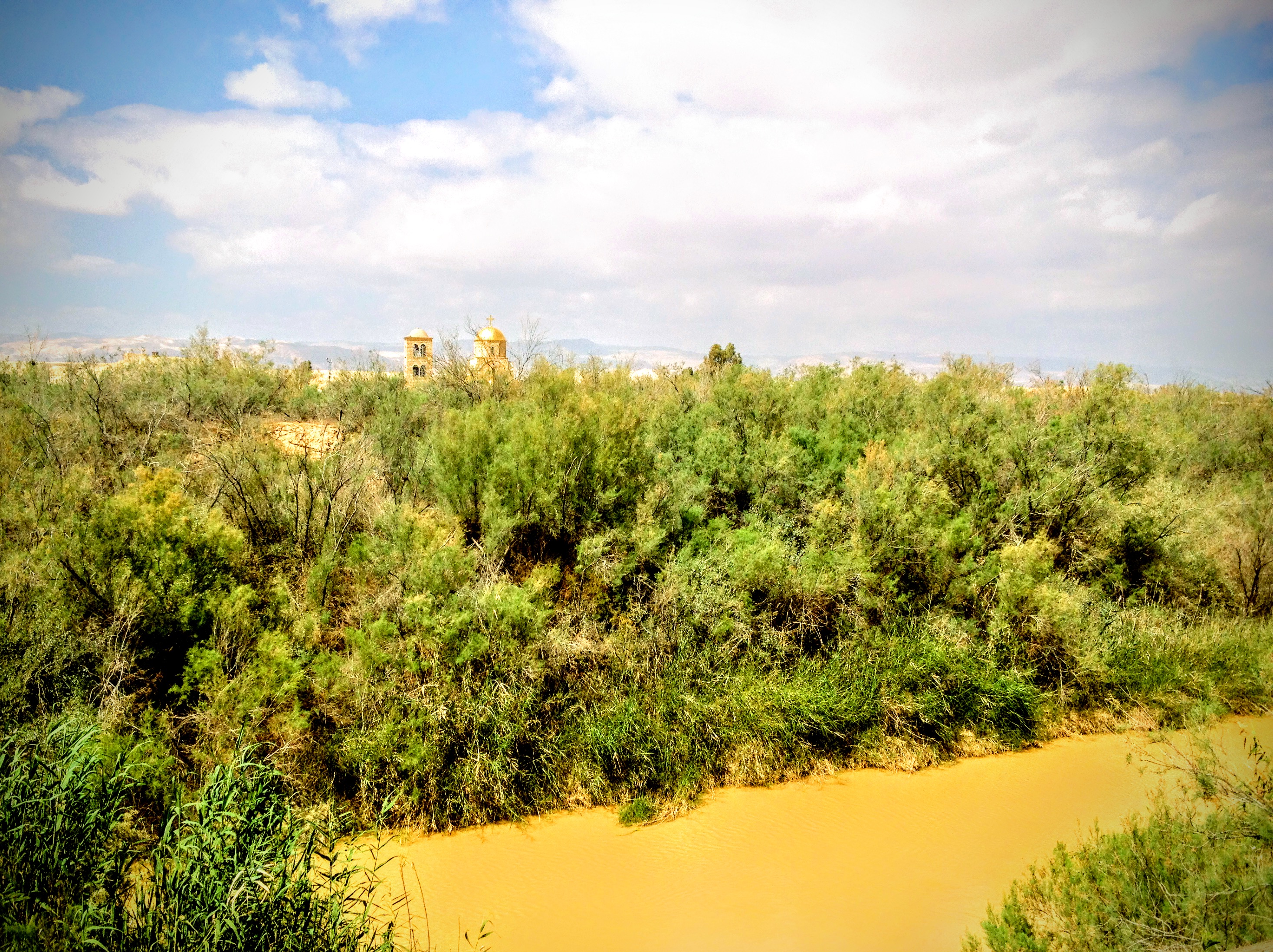
Baptism Site, Bethany Beyond the Jordan, Jordan

Panoramic view of the Beach along the Dead Sea in the West Bank

View from the Mount of Temptation at Jericho

Jordan. A general view. Showing calcareous barren foothills. View looking south

The Good Samaritan's Inn. Looking S.W., ancient road, castle in foreground

Jordan river. Area near convent of St. John (Bethany/Baptism Site)
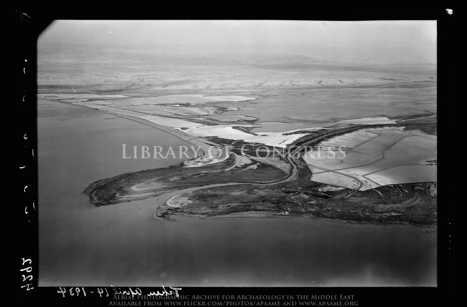
North end of Dead Sea. Mouth of the Jordan. View with north shore and salt pans looking N.W.

Wilderness of Judea foothills. Ain Duke, Jericho, and Jordan in distance
Tell Ghassul. Identified as site of Sodom and Gomorrah. E. of Jordan, N. of Dead Sea (Teleilat el-Ghassul)

The Palestine Potash Works. On N. shore of the Dead Sea.

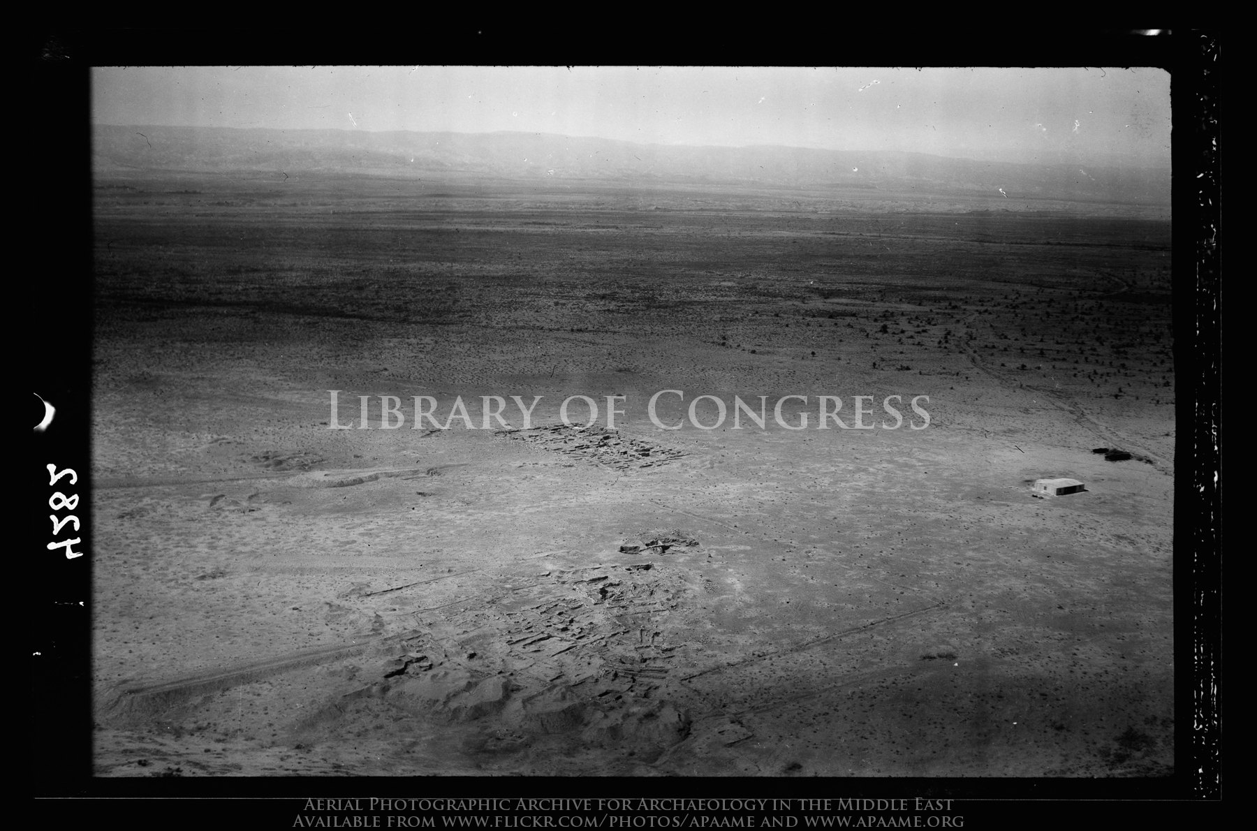
[Jericho Citadel] Mound of ancient Jericho. Looking southward, modern Jericho in distance.

The Palestine Potash Works. On N. shore of the Dead Sea. The refinery

Exit strategy
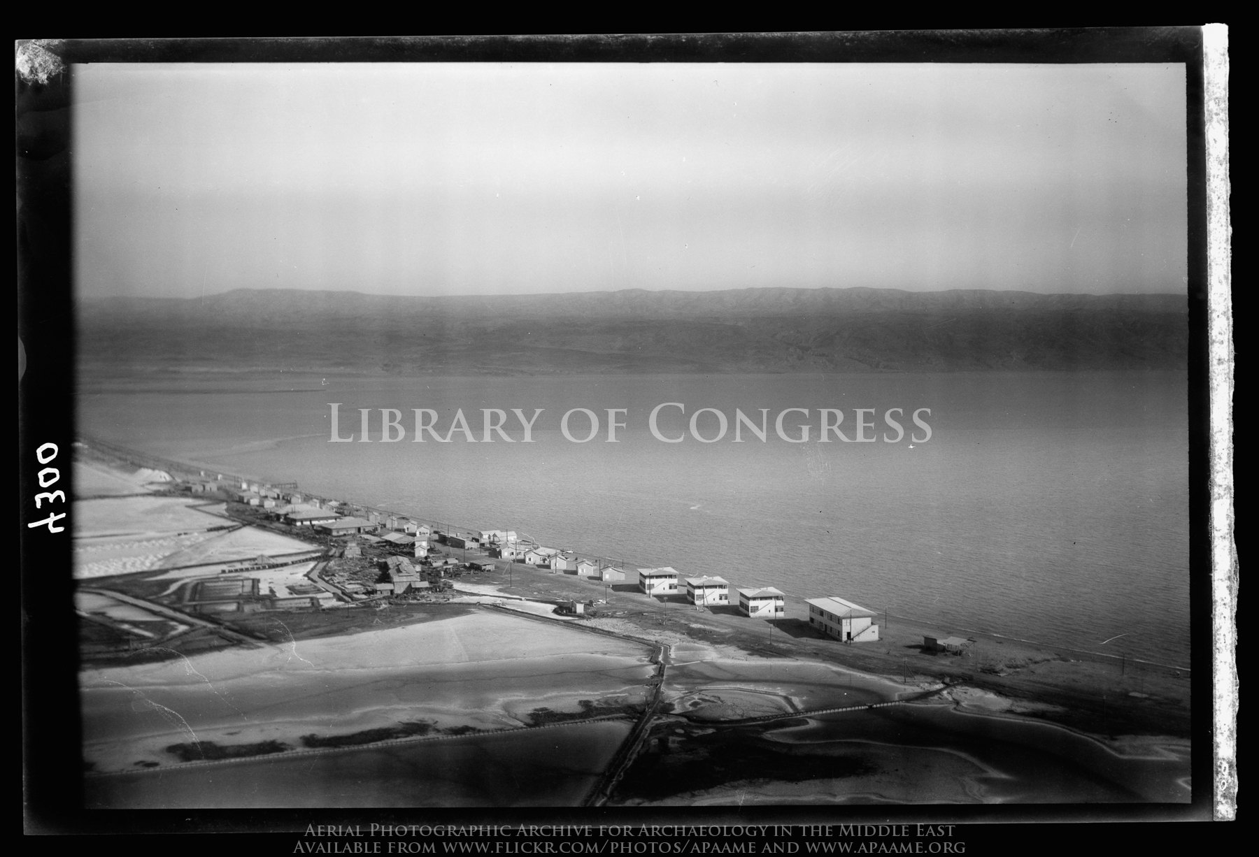
The Palestine Potash Works. On N. shore of the Dead Sea. Palestine Potash Plant. Workers' settlement along the north shore

North end of Dead Sea. Mouth of the Jordan. Looking W. along the north shore

The Palestine Potash Works. On N. shore of the Dead Sea. Palestine Potash Settlement. Workmens' homes. Dead Sea and evaporating pans

'Palestine State, West Bank' or Some Place on the Earth.

The Dead Sea

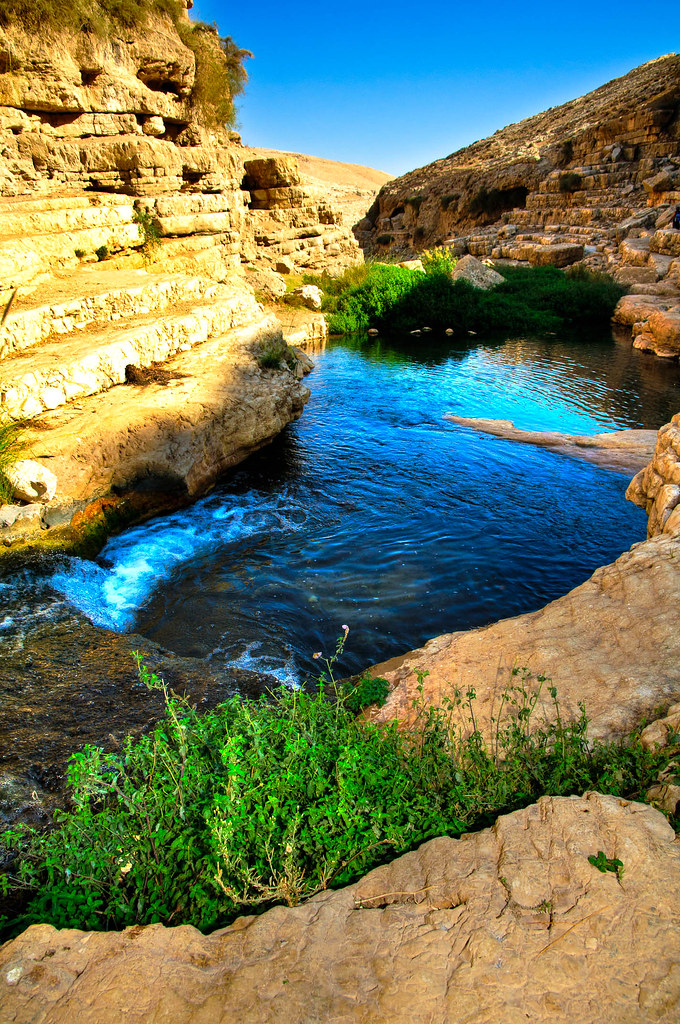
Wadi Qelt / Monastery of St. George of Choziba 1979

Betlemme - Bethlehem

Wadi Qelt / Monastery of St. George of Choziba 1979

Clouds over Qumran

Bethany Beyond the Jordan.

180305 Holy Land 1220

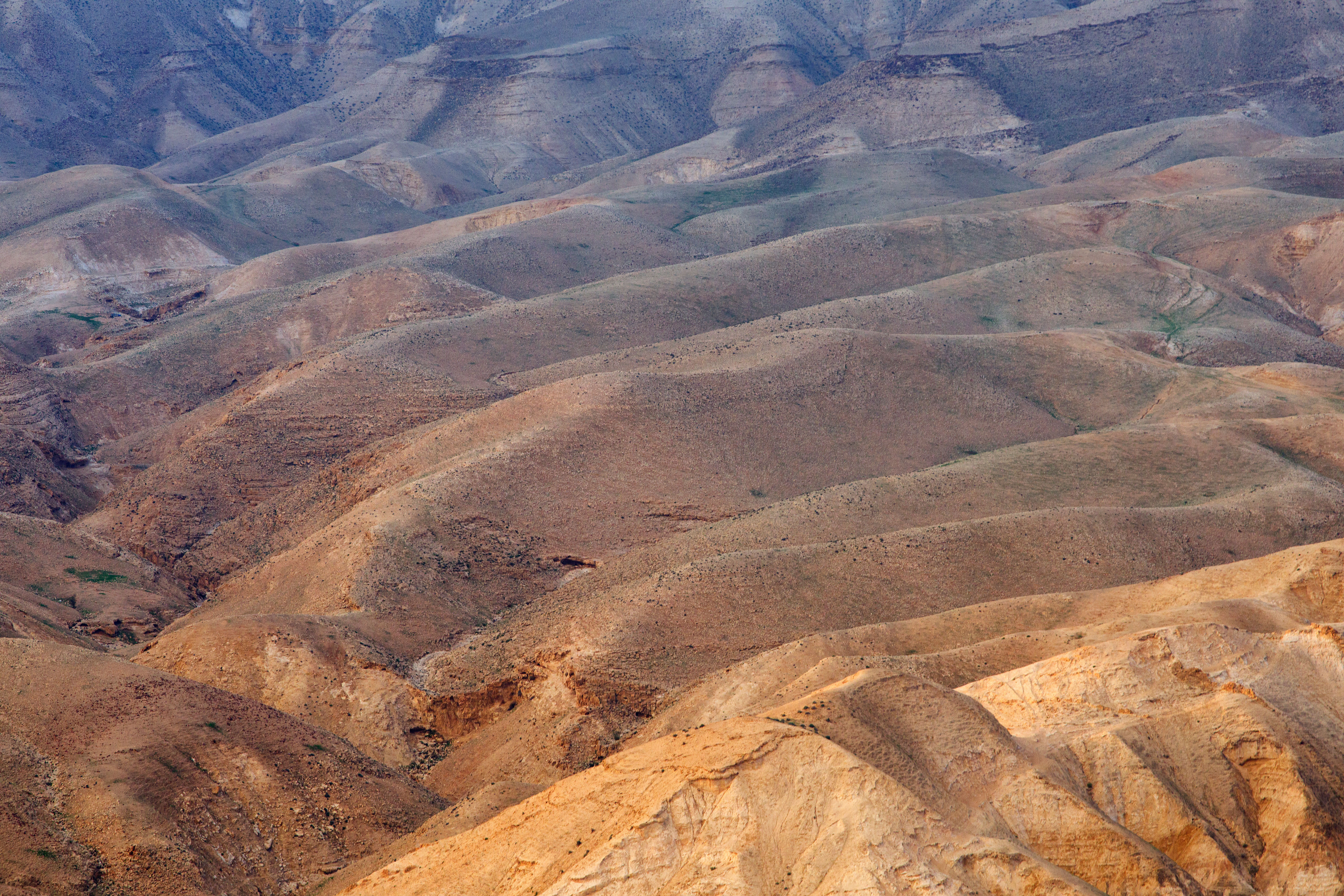
Judean Wilderness

Judean Wilderness
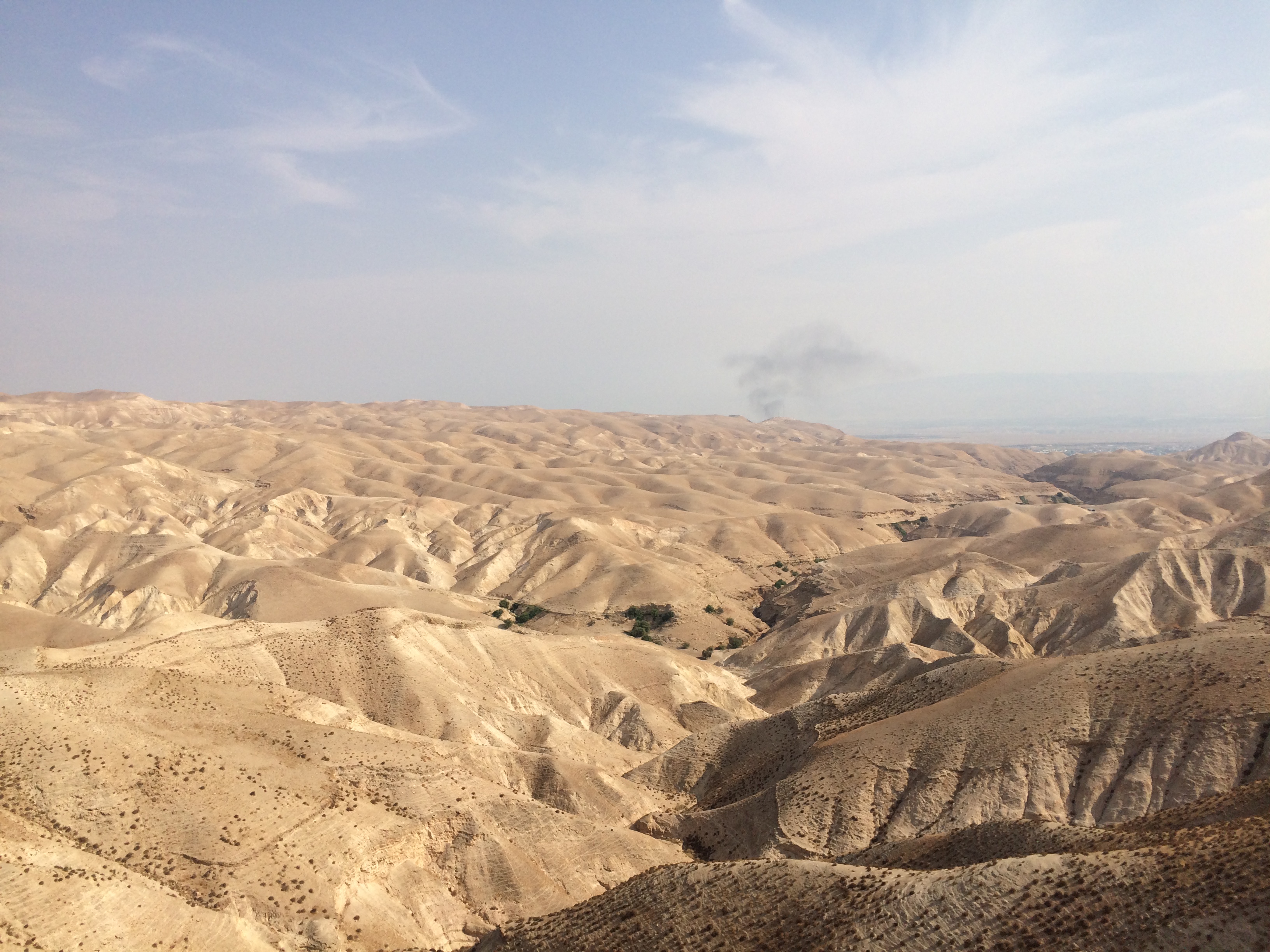
Judean Wilderness
BL_TRL_Kelt-20101120-0093_tonemapped-Edit.jpg

deserted desert
Deserto di Giuda

the deadest sea

BL_TRL_Kelt-20101120-0149_50_51_52_53-Edit.jpg

Qumran 1980 - grotta 1
Deserto di Giuda

Caves in Qumran National Park

flight_to_masada-18

The Fall
Topographic Map of Aqabat Jabr
Find elevation by address:

Places near Aqabat Jabr:
Jericho
Jericho Synagogue
Jericho Station
Kohav Hashahar
Geva Binyamin
Taibe
Abir Yaakov Street
Kfar Ivri St 2
Neve Yaakov
Pisgat Ze'ev
28 Sderot Moshe Dayan
Ofra
Baytin
Palestine
Beit El
Ramallah
Neve Menahem
גבעת זאב החדשה
Kiryat Ye'arim St 26
גבעת זאב
Recent Searches:
- Elevation of Corso Fratelli Cairoli, 35, Macerata MC, Italy
- Elevation of Tallevast Rd, Sarasota, FL, USA
- Elevation of 4th St E, Sonoma, CA, USA
- Elevation of Black Hollow Rd, Pennsdale, PA, USA
- Elevation of Oakland Ave, Williamsport, PA, USA
- Elevation of Pedrógão Grande, Portugal
- Elevation of Klee Dr, Martinsburg, WV, USA
- Elevation of Via Roma, Pieranica CR, Italy
- Elevation of Tavkvetili Mountain, Georgia
- Elevation of Hartfords Bluff Cir, Mt Pleasant, SC, USA