Elevation of Jefferson Village School, 48 Washington Rd, Jefferson, ME, USA
Location: United States > Maine > Lincoln County > Jefferson >
Longitude: -69.456067
Latitude: 44.2055659
Elevation: 32m / 105feet
Barometric Pressure: 101KPa
Elevation Map:
Satellite Map:
Related Photos:

Dragon Palm
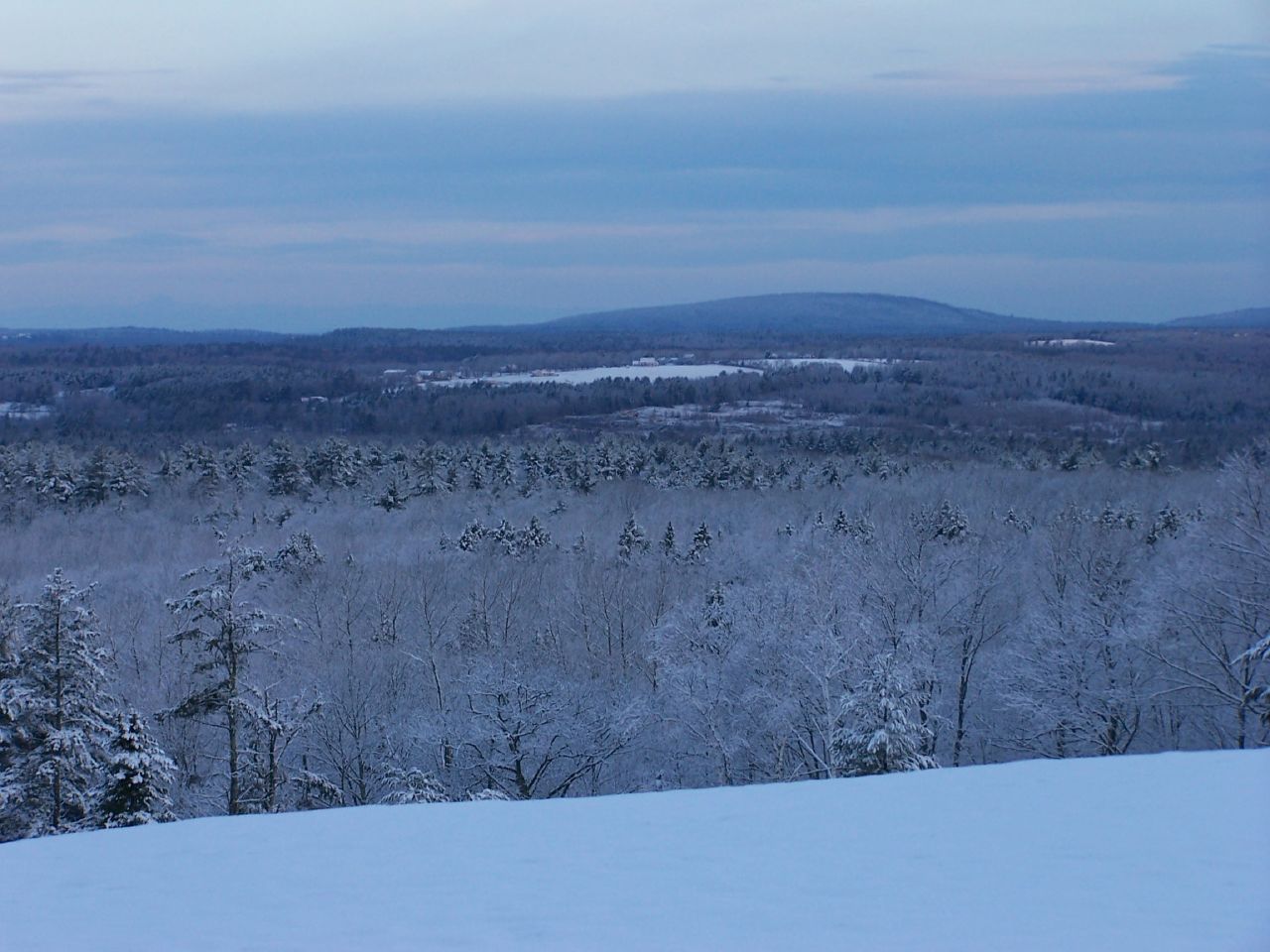
View West
View West

Mum's Chicken Purse
Tree-Face
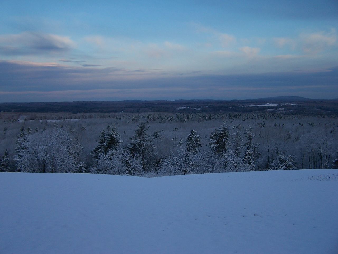
View West

Color My World
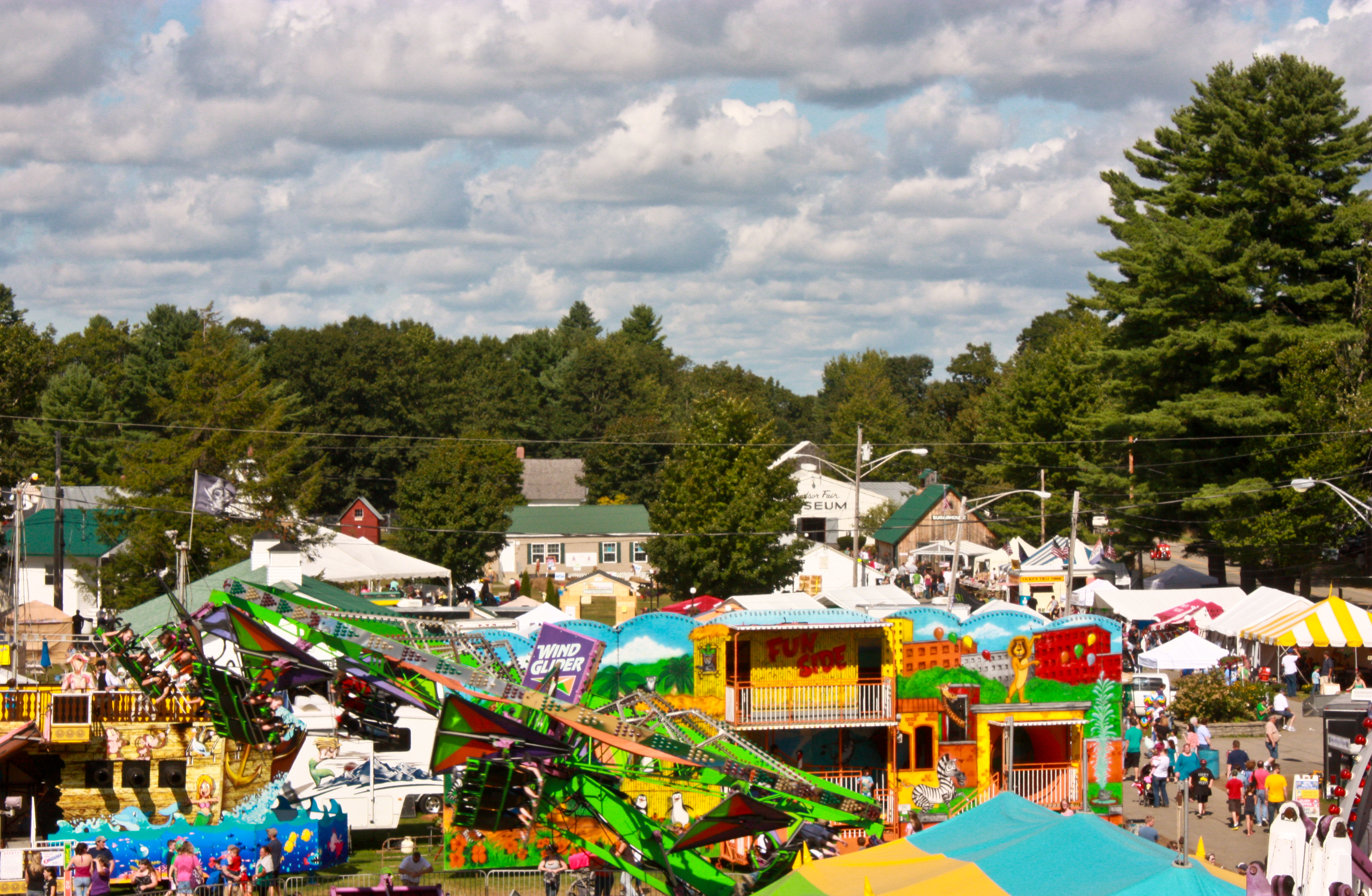
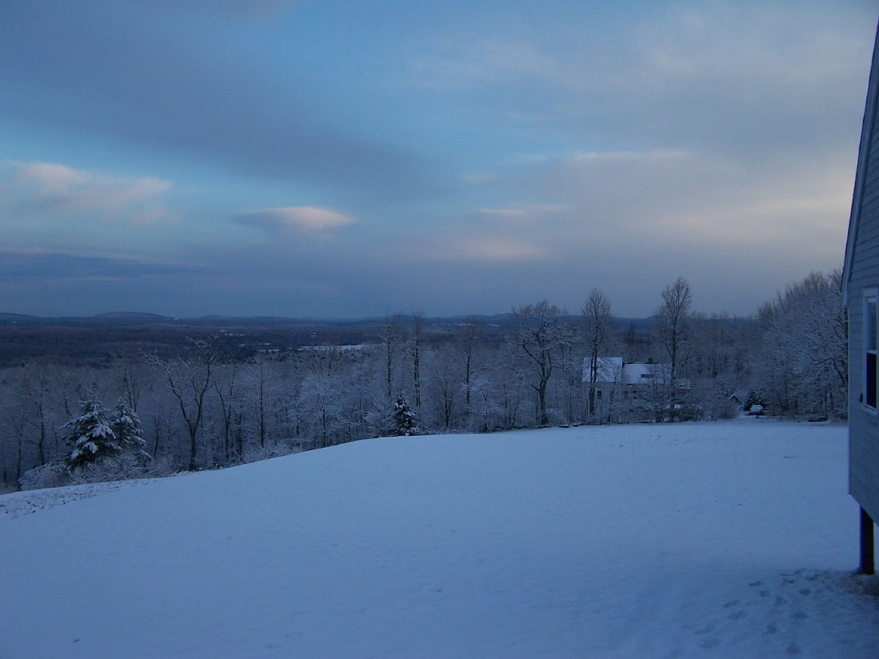
View From Above

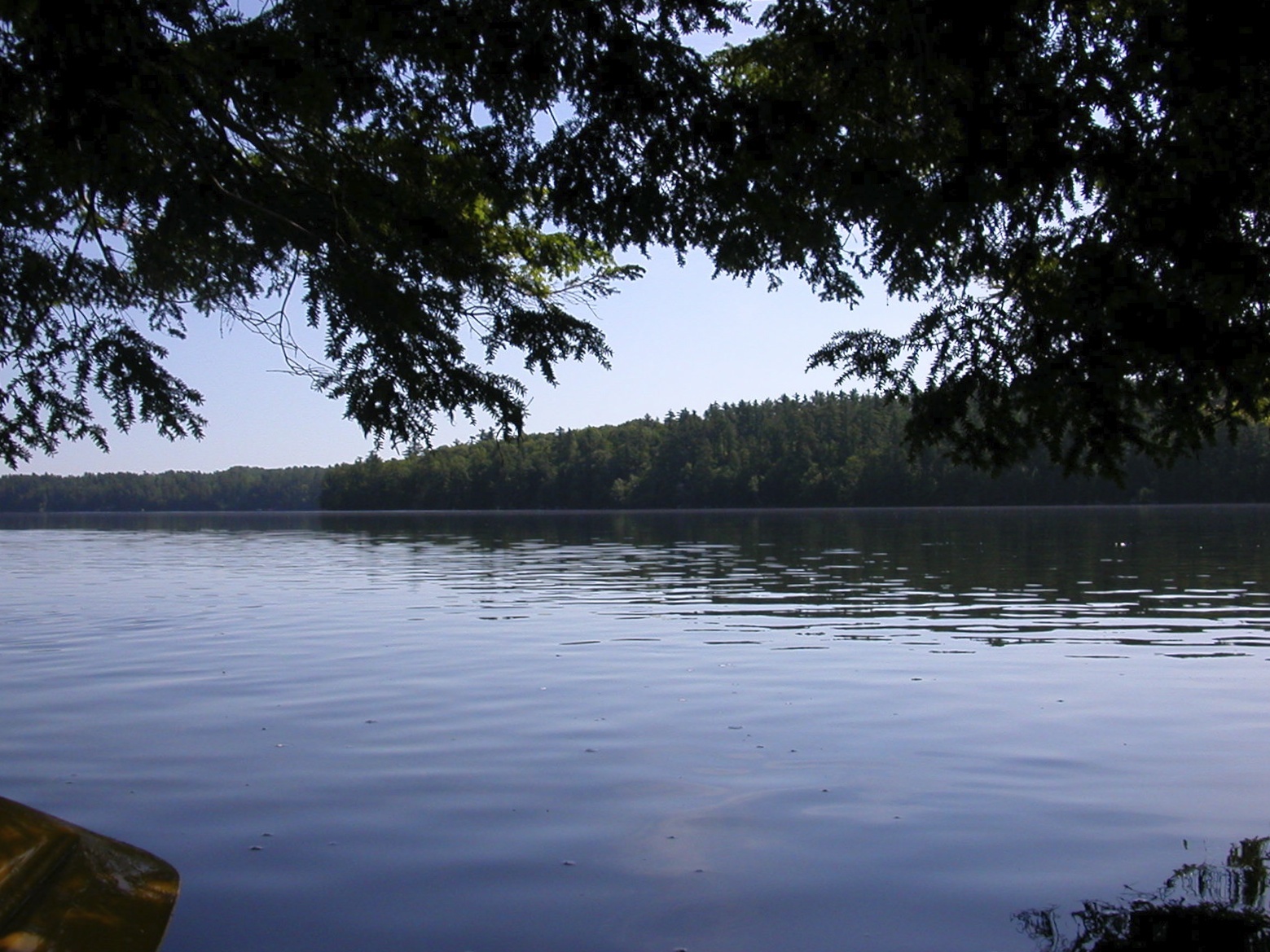
early am kayak
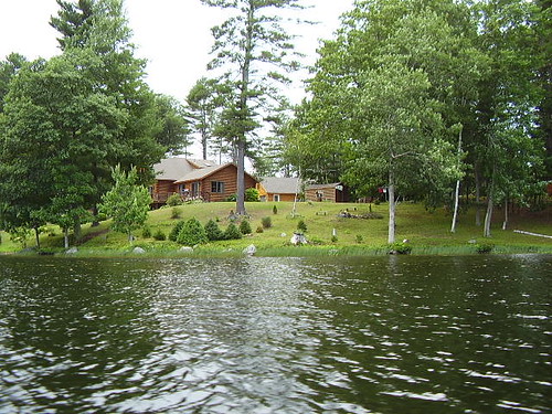
Log Cabin (corner view)
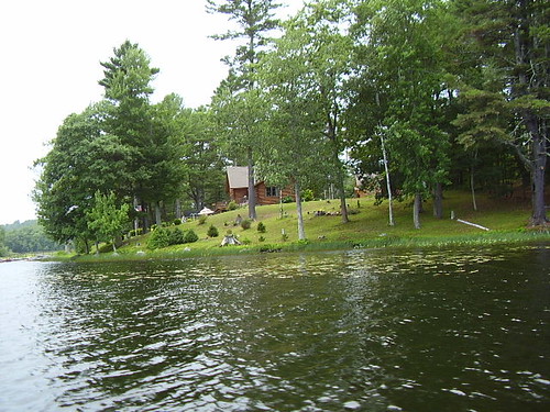
Log Cabin (side view)
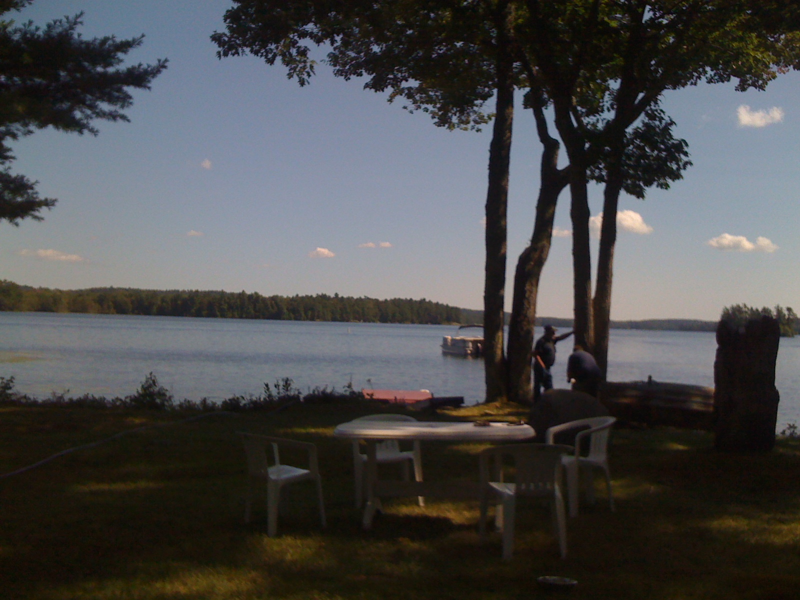
Cottage on the lake
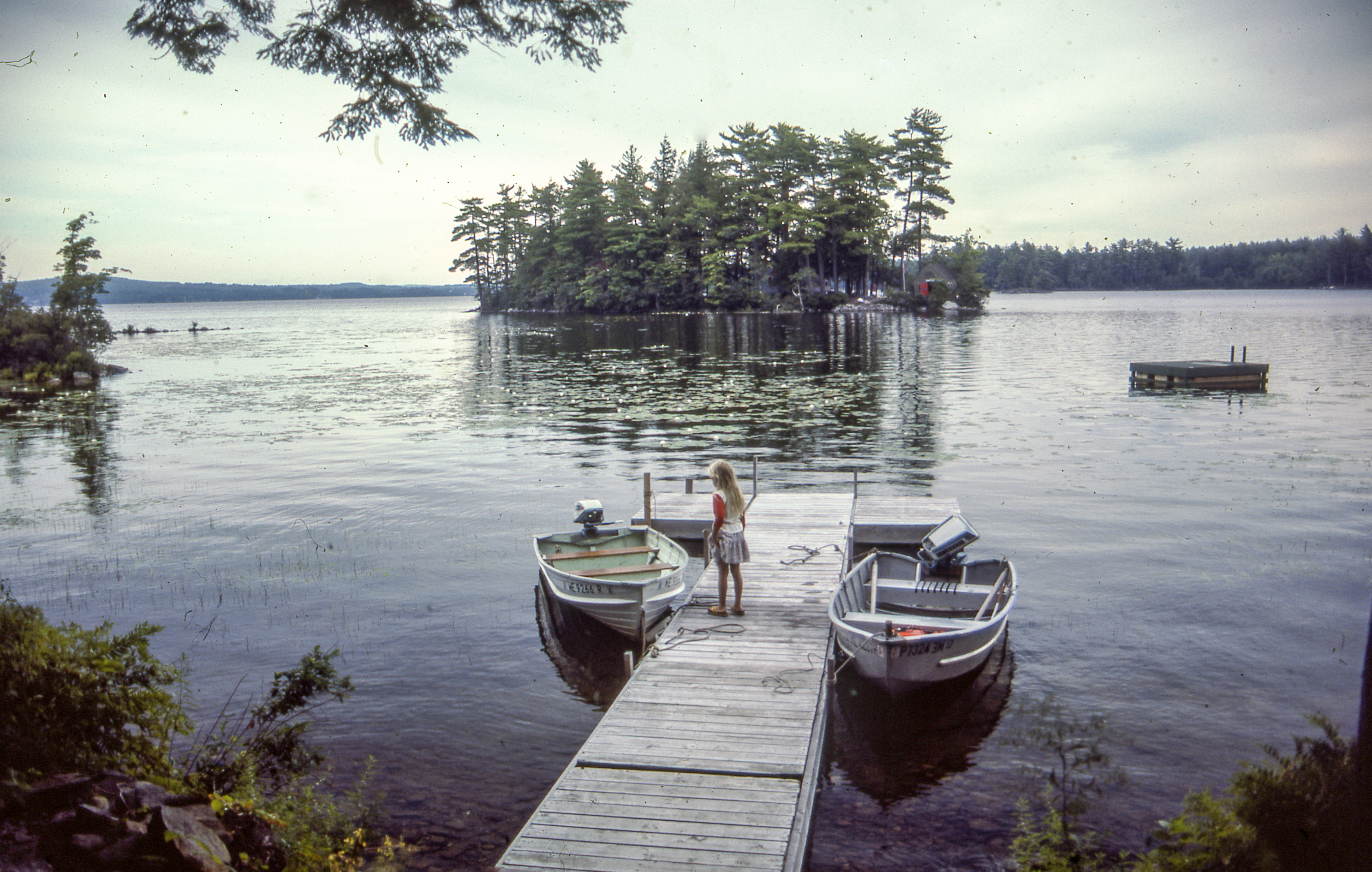
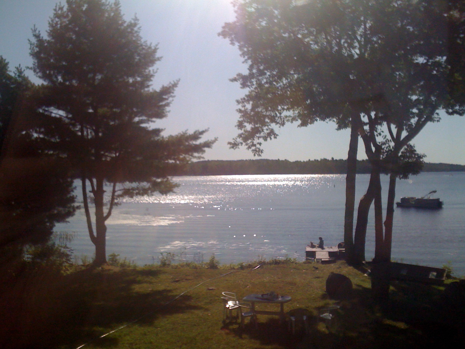
Damariscotta Lake

IPhone June 12, 2011 Don’t over-think it. Make a beautiful photograph today. And tomorrow. Keep at it and discover your own view of beauty.
View From Sweetgrass

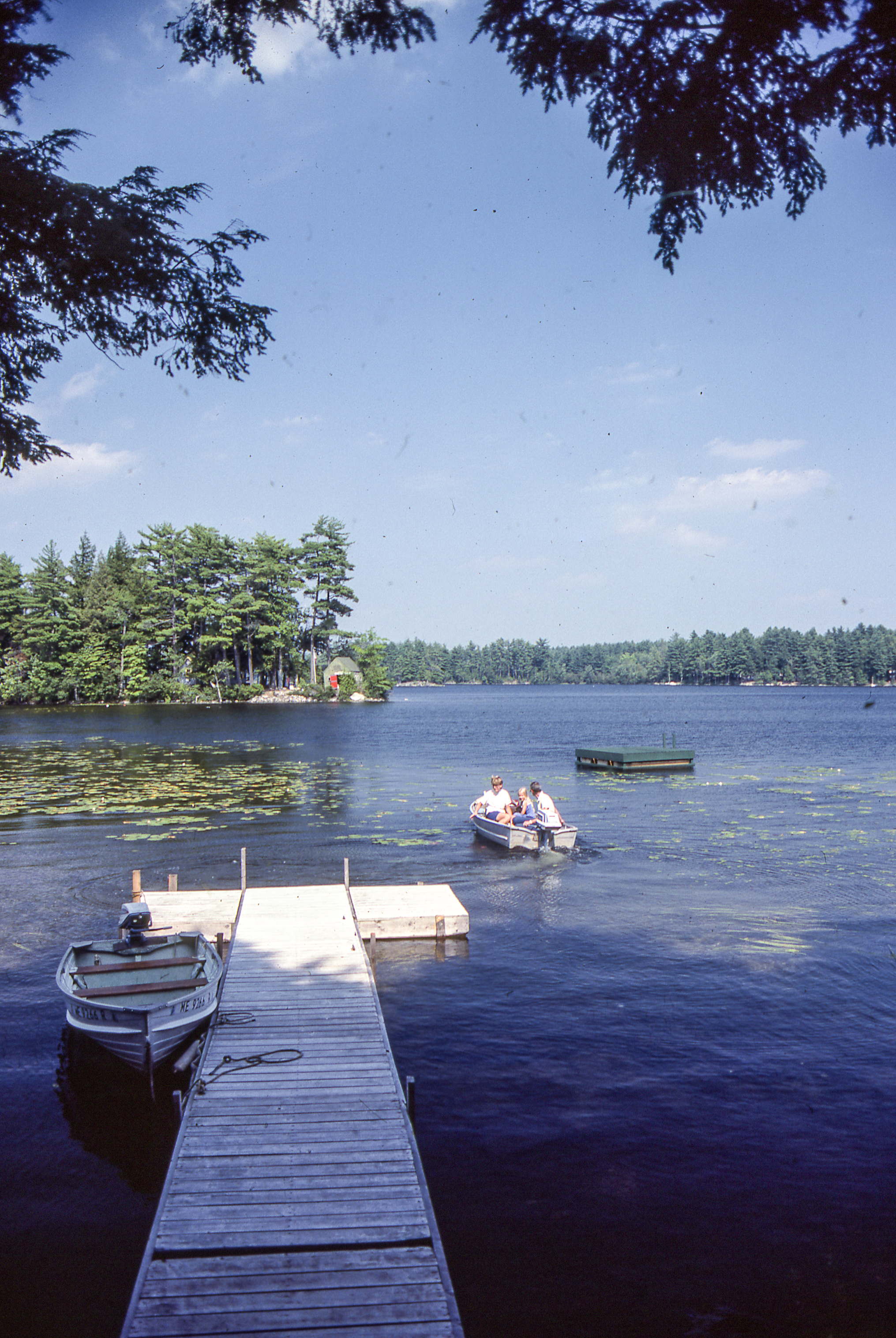
View Of The Lake

August Day Duck Puddle Pond

Red Swamp Maples
Washington Pond Brook
Salt Bay again
On shore across from Big DIpper Island

Hi there

Double rainbow!

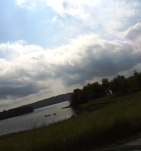
Washington Pond
Washington Pond
Heading for Big Dipper Island

_0001761.jpg
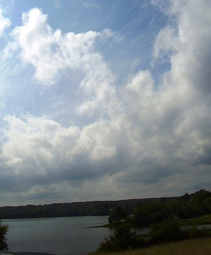
Clouds over Salt Bay
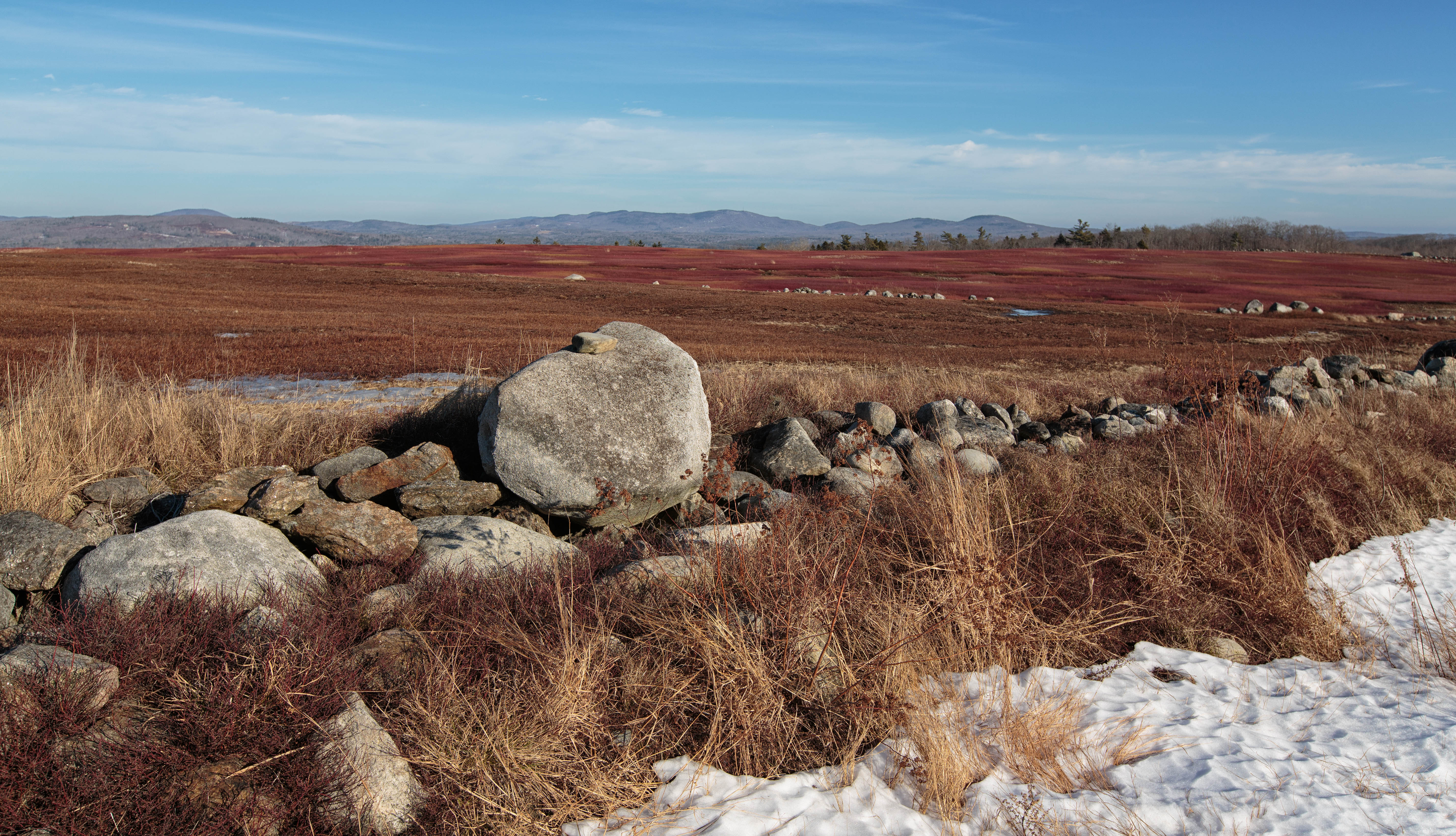
Maine Blueberry Fields - No. 2
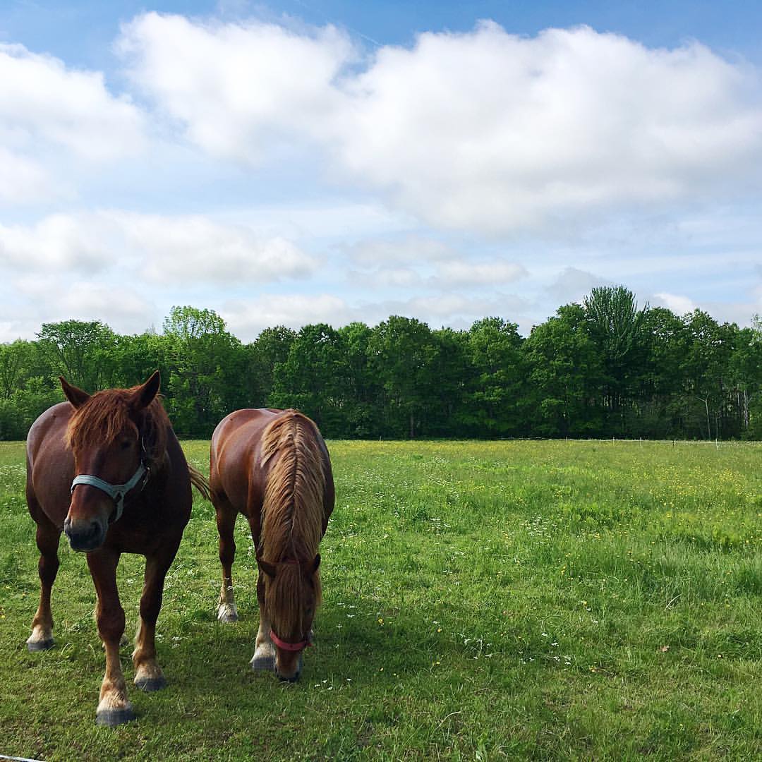
A horse and human powered farm. #wildmillerfarm #waldocounty #organicfarm
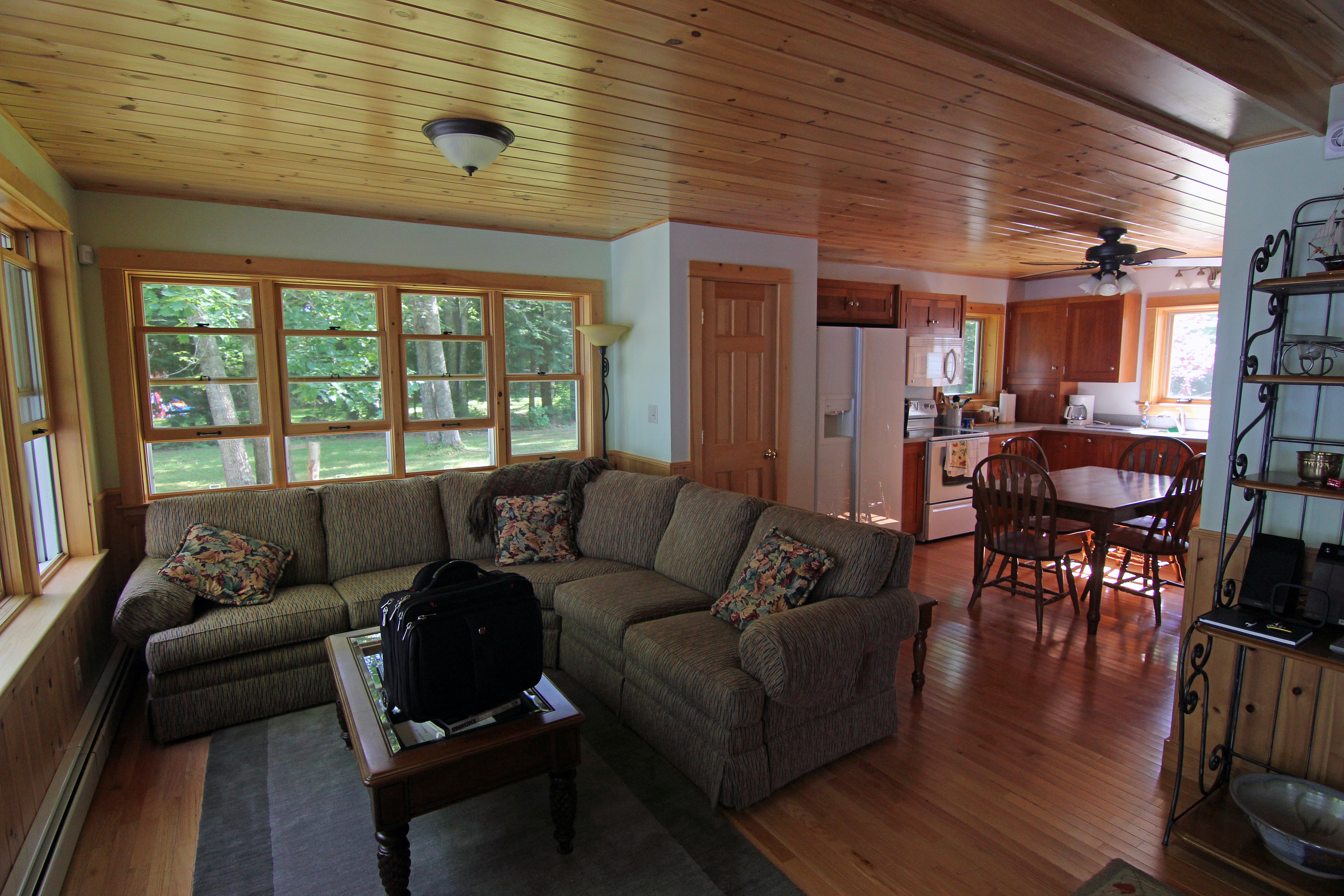
Chris & Mike's Cabin

Maine Blueberry Fields - No. 1
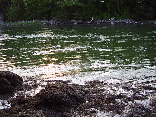
Funky blue/green water
Salt Bay
Chris & Mike's Cabin
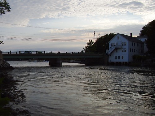
Damariscotta River - Main St. Bridge
Topographic Map of Jefferson Village School, 48 Washington Rd, Jefferson, ME, USA
Find elevation by address:

Places near Jefferson Village School, 48 Washington Rd, Jefferson, ME, USA:
Jefferson Town Office
Jefferson
230 N Mountain Rd
3 Augusta Rd
164 Hallowell Rd
North Mountain Road
Rockland Rd, Somerville, ME, USA
Augusta Road
64 N Clary Rd
Waldoboro Rd, Washington, ME, USA
960 Augusta Rd
S Clary Rd, Jefferson, ME, USA
Clary Lake
Washington
64 Clary Lake Ln
2 Grand Army Rd, Whitefield, ME, USA
733 Union Rd
Old Augusta Rd, Warren, ME, USA
Union
20-24,33-39
Recent Searches:
- Elevation of Corso Fratelli Cairoli, 35, Macerata MC, Italy
- Elevation of Tallevast Rd, Sarasota, FL, USA
- Elevation of 4th St E, Sonoma, CA, USA
- Elevation of Black Hollow Rd, Pennsdale, PA, USA
- Elevation of Oakland Ave, Williamsport, PA, USA
- Elevation of Pedrógão Grande, Portugal
- Elevation of Klee Dr, Martinsburg, WV, USA
- Elevation of Via Roma, Pieranica CR, Italy
- Elevation of Tavkvetili Mountain, Georgia
- Elevation of Hartfords Bluff Cir, Mt Pleasant, SC, USA