Elevation of 3 Augusta Rd, Jefferson, ME, USA
Location: United States > Maine > Lincoln County > Jefferson >

Longitude: -69.477214

Latitude: 44.2045399

Elevation: 34m / 112feet

Barometric Pressure: 101KPa

Elevation Map:

elevation map of 3 Augusta Rd, Jefferson, ME, USA

Satellite Map:

Satellite map of 3 Augusta Rd, Jefferson, ME, USA

Related Photos:

rural maine whitefield alna canoneosdigitalrebelxs
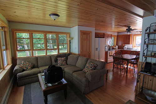
Fixer-Upper
View From Sweetgrass
snow 2006 april
View West
snow 2006 april
View West
chicken purse
Mum's Chicken Purse
maine
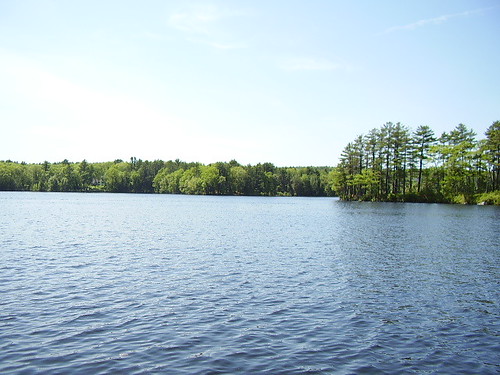
View Of The Lake
tree face doubleexposure doublenegative
Tree-Face
snow 2006 april
View West
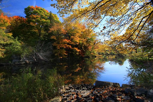
maine foliage medomakriver waldobore
Color My World
carnival food lines wheel digital canon eos rebel high fair ferris rides xsi
View From Above
dragon hand doubleexposure top20doubles
Dragon Palm
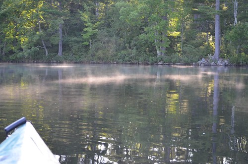
water maine scenic evergreens medomakfamilycamp
early am kayak
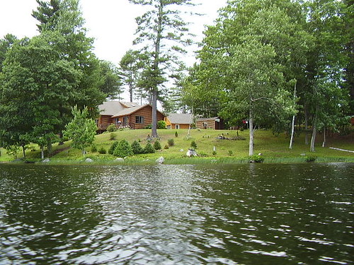
damariscotta thelake
Log Cabin (corner view)
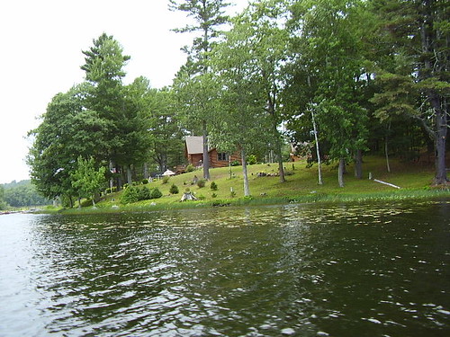
damariscotta thelake
Log Cabin (side view)
Cottage on the lake
lake
Damariscotta Lake
IPhone June 12, 2011 Don’t over-think it. Make a beautiful photograph today. And tomorrow. Keep at it and discover your own view of beauty.
square squareformat iphoneography instagramapp uploaded:by=instagram
Hi there
newcastle damariscotta nobleboro
Salt Bay again
maine brook
Washington Pond Brook
unitedstates maine cc kodachrome 1980s 1985 nikonf3 damariscottalake bykp bigdipperisland
On shore across from Big DIpper Island
landscape
Head Tide Shed
me landscape pond stream maine lincoln marsh paddling pemaquid waterscape duckpuddle
August Day Duck Puddle Pond
red me maple pond maine acer swamp lincoln marsh nobleboro rubrum duckpuddle
Red Swamp Maples
uploaded:by=flickrmobile flickriosapp:filter=nofilter
Double rainbow!
october maine fallfoliage whitefield alna nikoncoolpix
Autumn Reflections
square squareformat iphoneography instagramapp uploaded:by=instagram
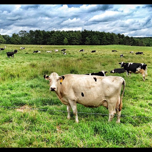
A horse and human powered farm. #wildmillerfarm #waldocounty #organicfarm
maine cc kodachrome 1980s 1985 nikonf3 davidjones darryl lincolncounty damariscottalake bykp bigdipperisland
Heading for Big Dipper Island
Washington Pond
Washington Pond
rocks union maine blueberry rockwall blueberryfields clarryhill
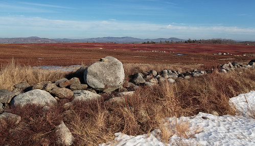
Maine Blueberry Fields - No. 2
newcastle damariscotta nobleboro
Clouds over Salt Bay
lake maine damariscotta
Chris & Mike's Cabin
rocks union maine blueberry rockwall blueberryfields clarryhill
Maine Blueberry Fields - No. 1
river weekend damariscotta thelake
Funky blue/green water
ice whitewater dam maine whitefield alna sheepscotriver headtide kingsmills canoneosdigitalrebelxs
Sheepscot River, Kings Mills