Elevation of Jefferson County, GA, USA
Location: United States > Georgia >
Longitude: -82.431940
Latitude: 33.0740753
Elevation: 91m / 299feet
Barometric Pressure: 100KPa
Elevation Map:
Satellite Map:
Related Photos:
untitled
untitled

Wrens FD Rescue 2, GA

Wrens FD Engine 2, GA

Wrens FD Engine 2, GA

Wrens FD Engine 3, GA

Wrens FD, GA

Wrens FD Engine 4, GA

Wrens FD Engine 4, GA

Priority Care Ambulance Service, GA

Priority Care Ambulance Service, GA

Priority Care Ambulance Service, GA

Goldcross EMS, GA

Wrens PD, GA

Wrens PD, GA

Wrens PD, GA

Wrens PD, GA

Wrens PD, GA

StreetView car
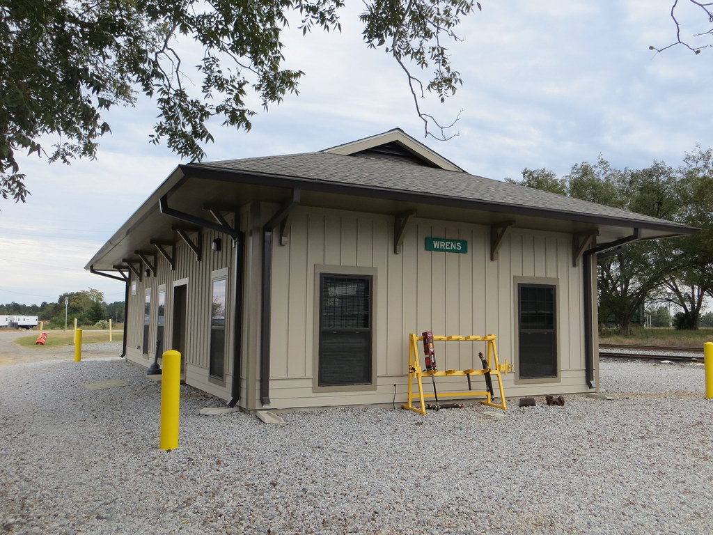
Train Depot Wrens GA

Cold Pansies

Long Road Ahead

Barn Hunting
Topographic Map of Jefferson County, GA, USA
Find elevation by address:

Places in Jefferson County, GA, USA:
Places near Jefferson County, GA, USA:
1705 Bothwell Rd
Huddle House
Louisville
W Broad St, Louisville, GA, USA
Mole Rd, Wadley, GA, USA
Wrens
E Main St, Stapleton, GA, USA
Stapleton
Campground Rd, Wrens, GA, USA
Friendship Church Rd, Bartow, GA, USA
4080 Ga-17
GA-, Louisville, GA, USA
Vidette
Steep Hollow Rd, Gibson, GA, USA
Bartow
Davisboro
Fendig St, Keysville, GA, USA
Wadley
GA-, Louisville, GA, USA
61 Calhoun St, Gibson, GA, USA
Recent Searches:
- Elevation of Corso Fratelli Cairoli, 35, Macerata MC, Italy
- Elevation of Tallevast Rd, Sarasota, FL, USA
- Elevation of 4th St E, Sonoma, CA, USA
- Elevation of Black Hollow Rd, Pennsdale, PA, USA
- Elevation of Oakland Ave, Williamsport, PA, USA
- Elevation of Pedrógão Grande, Portugal
- Elevation of Klee Dr, Martinsburg, WV, USA
- Elevation of Via Roma, Pieranica CR, Italy
- Elevation of Tavkvetili Mountain, Georgia
- Elevation of Hartfords Bluff Cir, Mt Pleasant, SC, USA