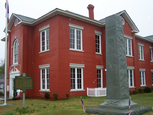
Elevation of 61 Calhoun St, Gibson, GA, USA
Location: United States > Georgia > Glascock County > Gibson >
Longitude: -82.595623
Latitude: 33.2324851
Elevation: 107m / 351feet
Barometric Pressure: 100KPa
Related Photos:
Topographic Map of 61 Calhoun St, Gibson, GA, USA
Find elevation by address:

Places near 61 Calhoun St, Gibson, GA, USA:
Gibson
Glascock County
Bastonville Rd, Warrenton, GA, USA
GA-80, Warrenton, GA, USA
Mitchell
Quaker Rd, Warrenton, GA, USA
Steep Hollow Rd, Gibson, GA, USA
E Main St, Stapleton, GA, USA
Stapleton
GA-, Mitchell, GA, USA
39 Ricketson Rd
1705 Bothwell Rd
6071 Hamburg State Park Rd
4080 Ga-17
70 N Whitehead St
Warrenton
Wrens
1497 Mt Pleasant Rd
2317 Mesena Rd
634 Wire Rd
Recent Searches:
- Elevation of Corso Fratelli Cairoli, 35, Macerata MC, Italy
- Elevation of Tallevast Rd, Sarasota, FL, USA
- Elevation of 4th St E, Sonoma, CA, USA
- Elevation of Black Hollow Rd, Pennsdale, PA, USA
- Elevation of Oakland Ave, Williamsport, PA, USA
- Elevation of Pedrógão Grande, Portugal
- Elevation of Klee Dr, Martinsburg, WV, USA
- Elevation of Via Roma, Pieranica CR, Italy
- Elevation of Tavkvetili Mountain, Georgia
- Elevation of Hartfords Bluff Cir, Mt Pleasant, SC, USA


